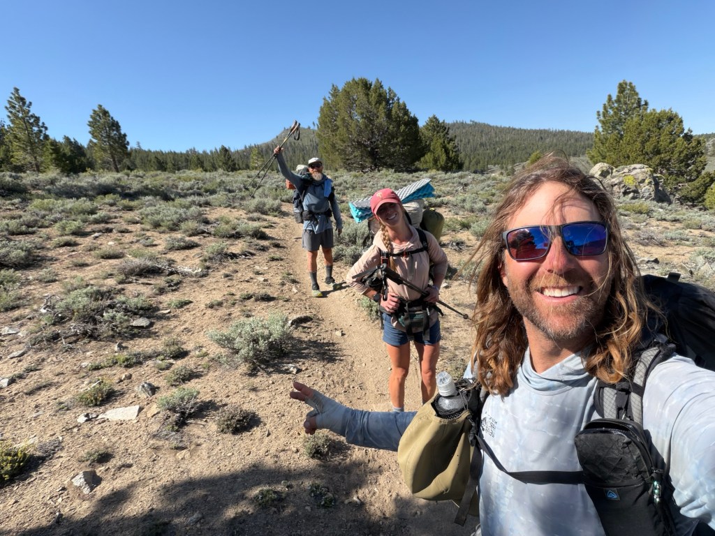
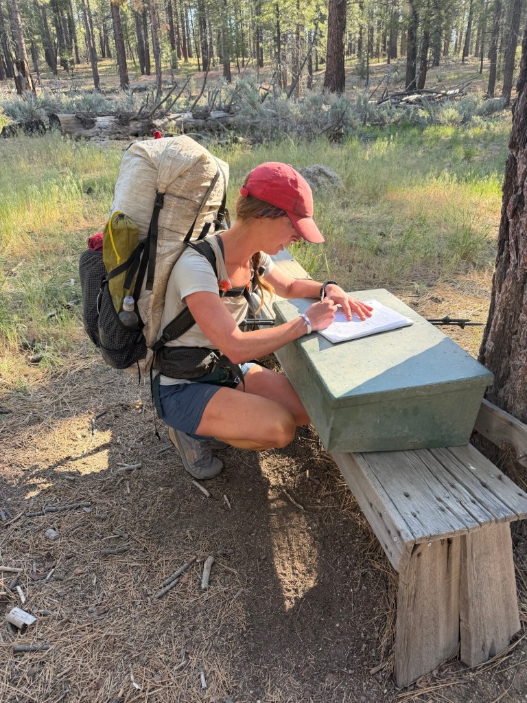
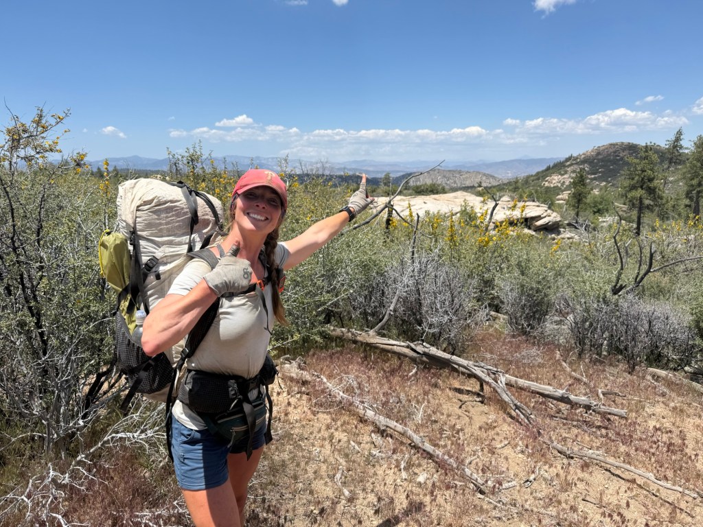
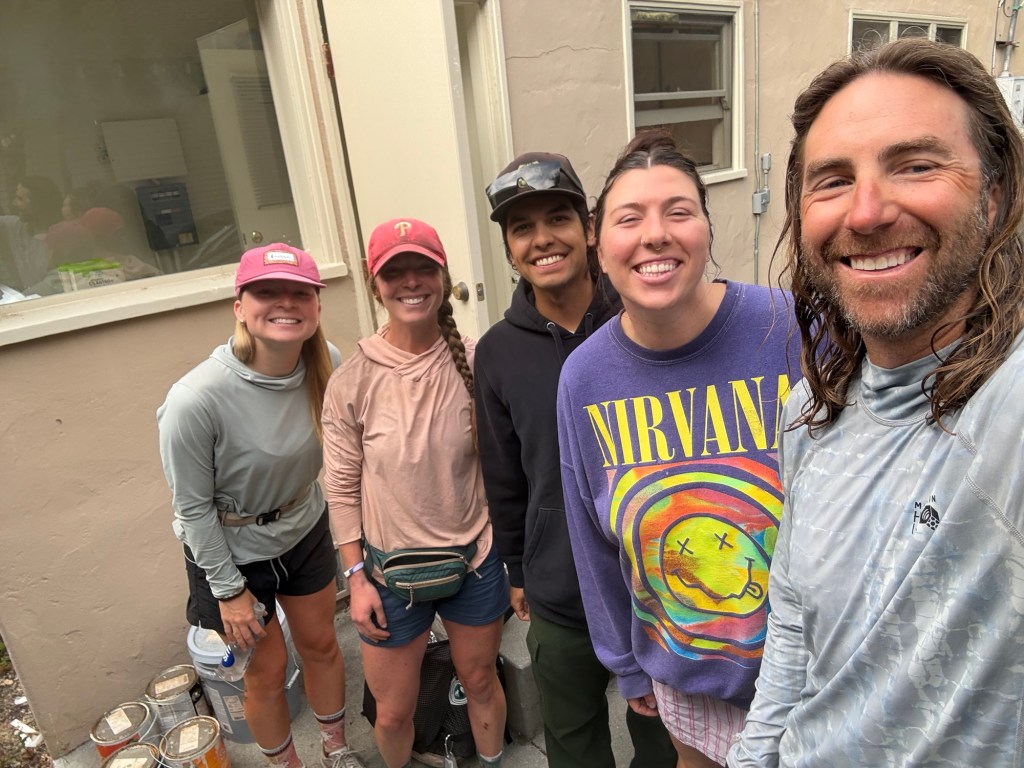
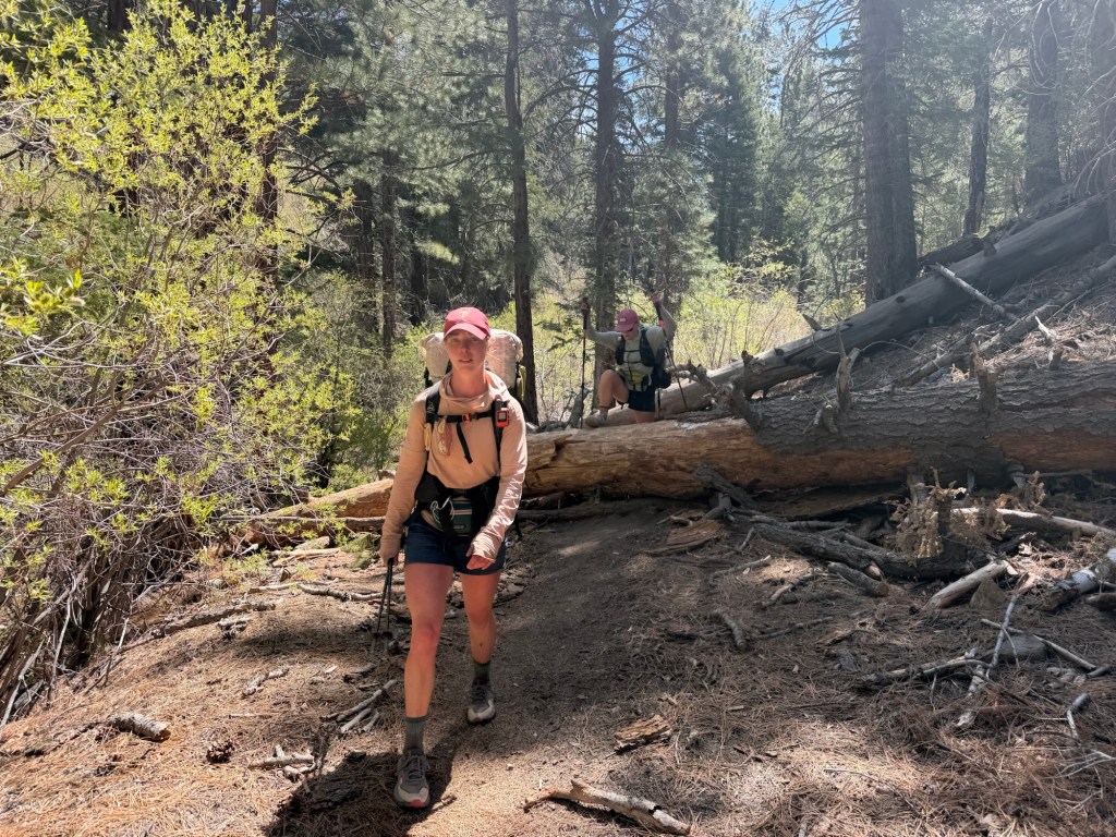
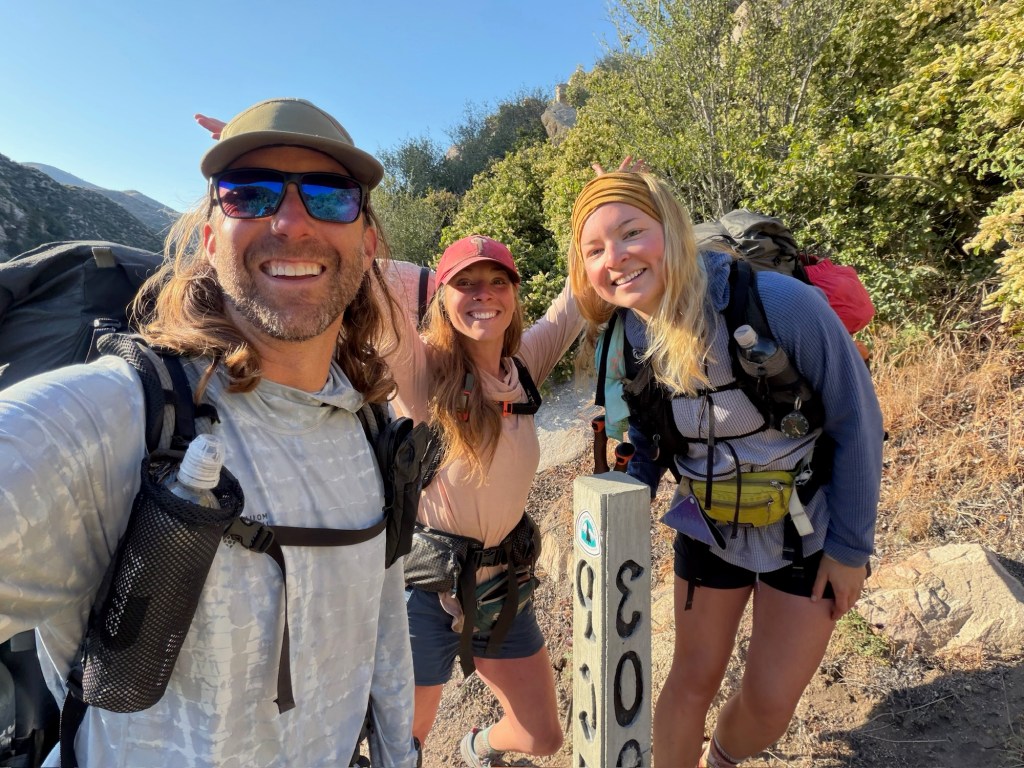
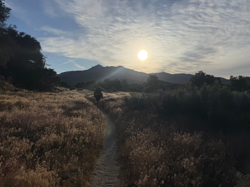
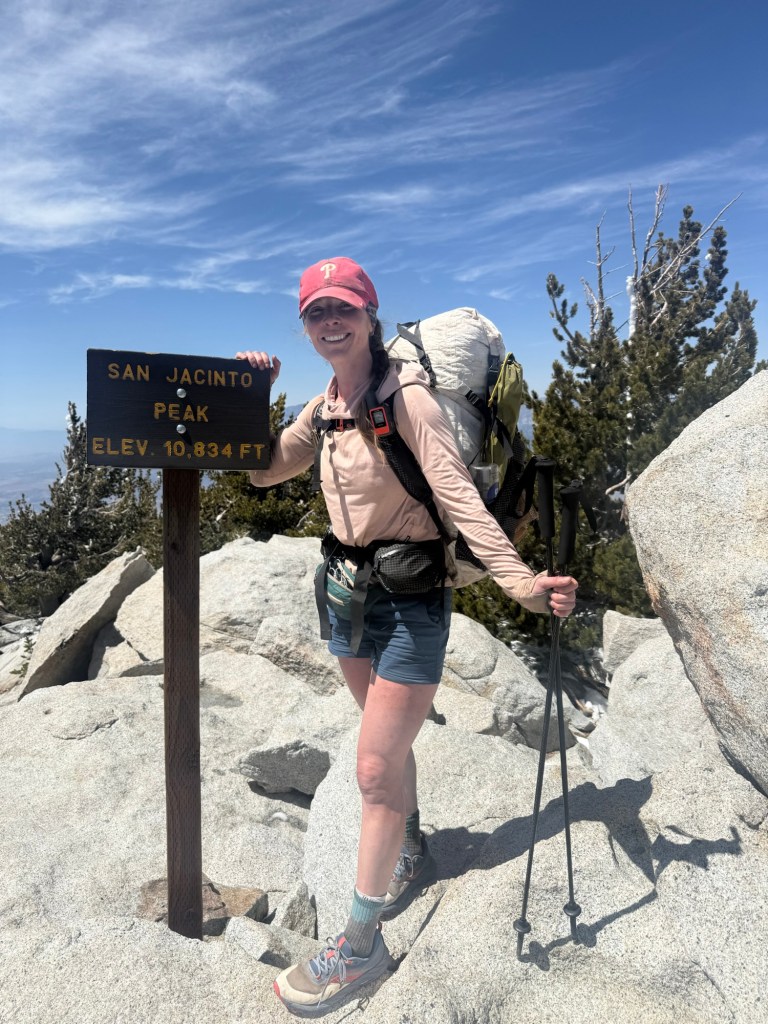
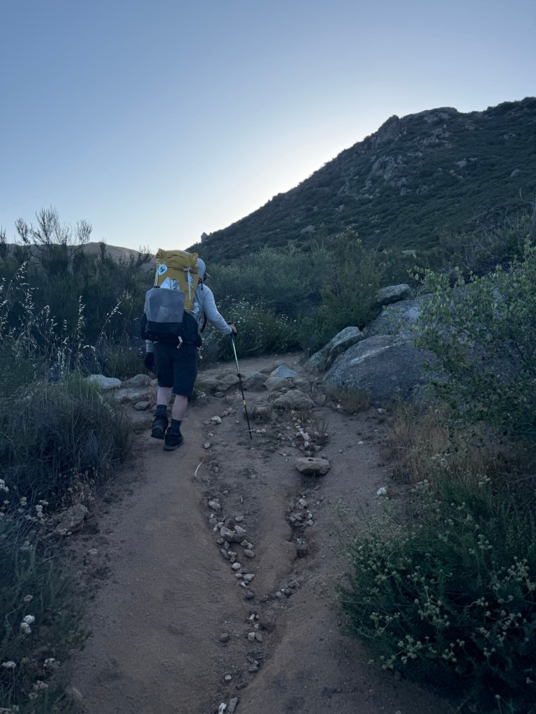
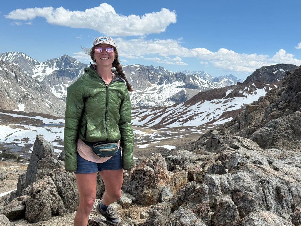
Day 57: June 11; 20 miles (cont.)
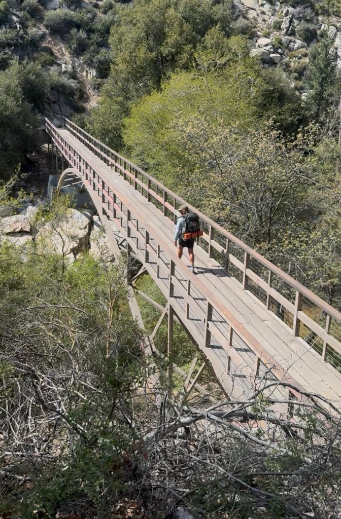
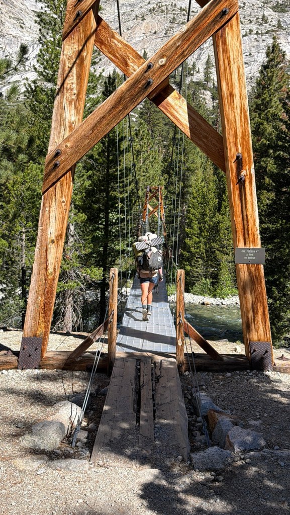
After descending 7 miles, we made it to the Woods Creek suspension bridge. I camped here in 2018, in which I was snuck up upon by a bear. Luckily we didn’t stick around long enough for a replay.
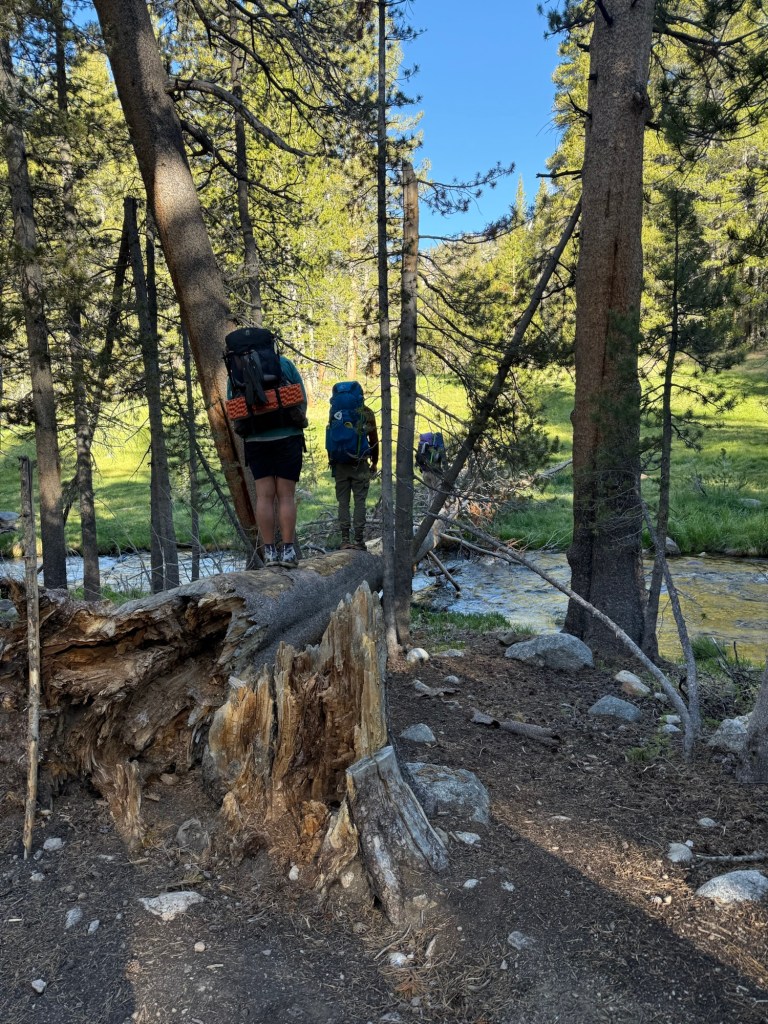
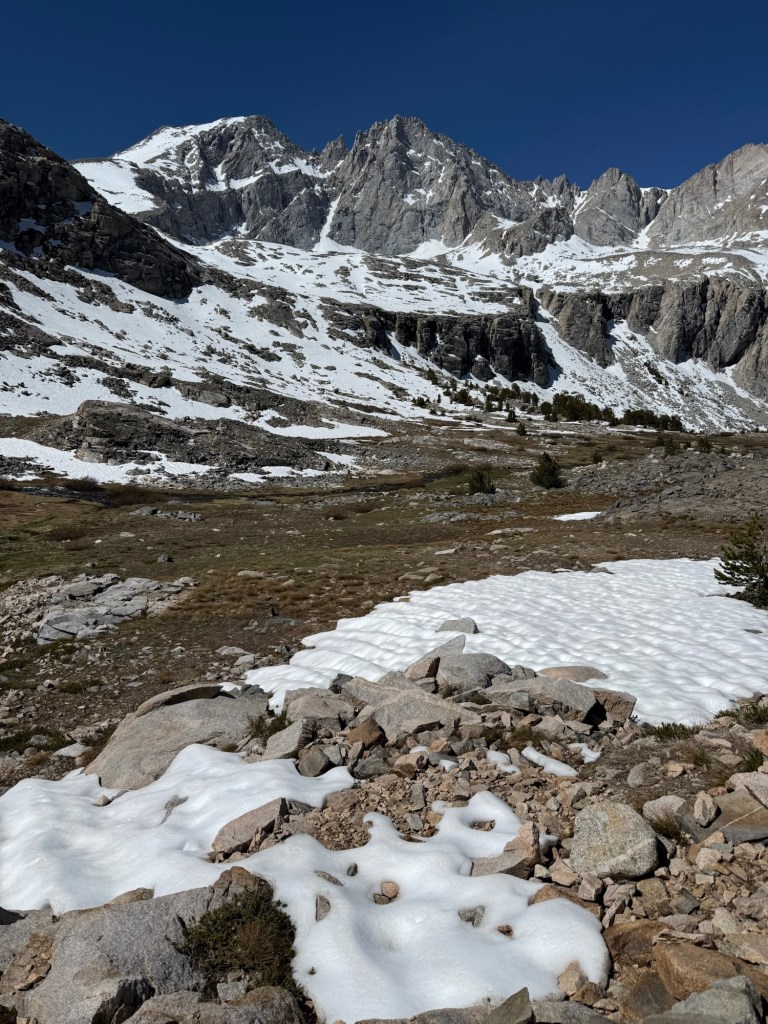
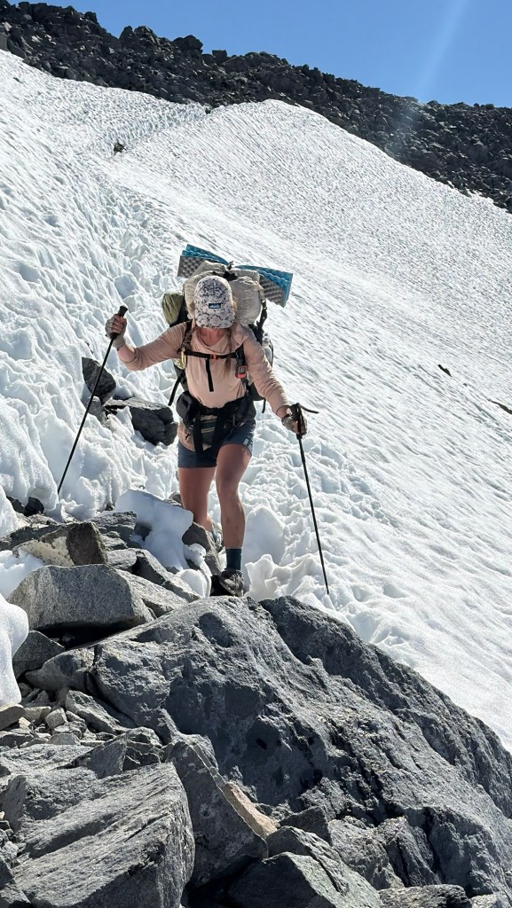
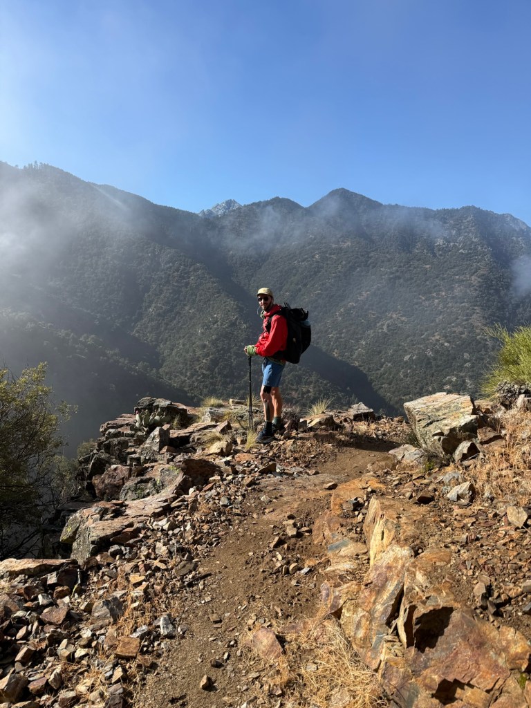
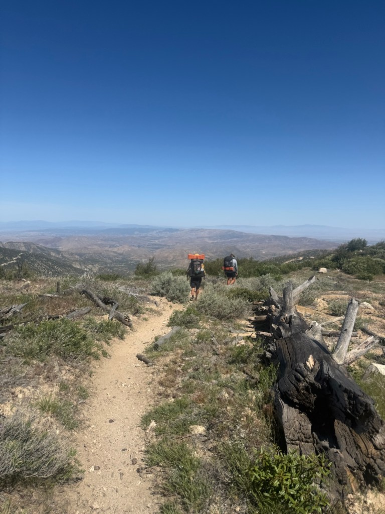
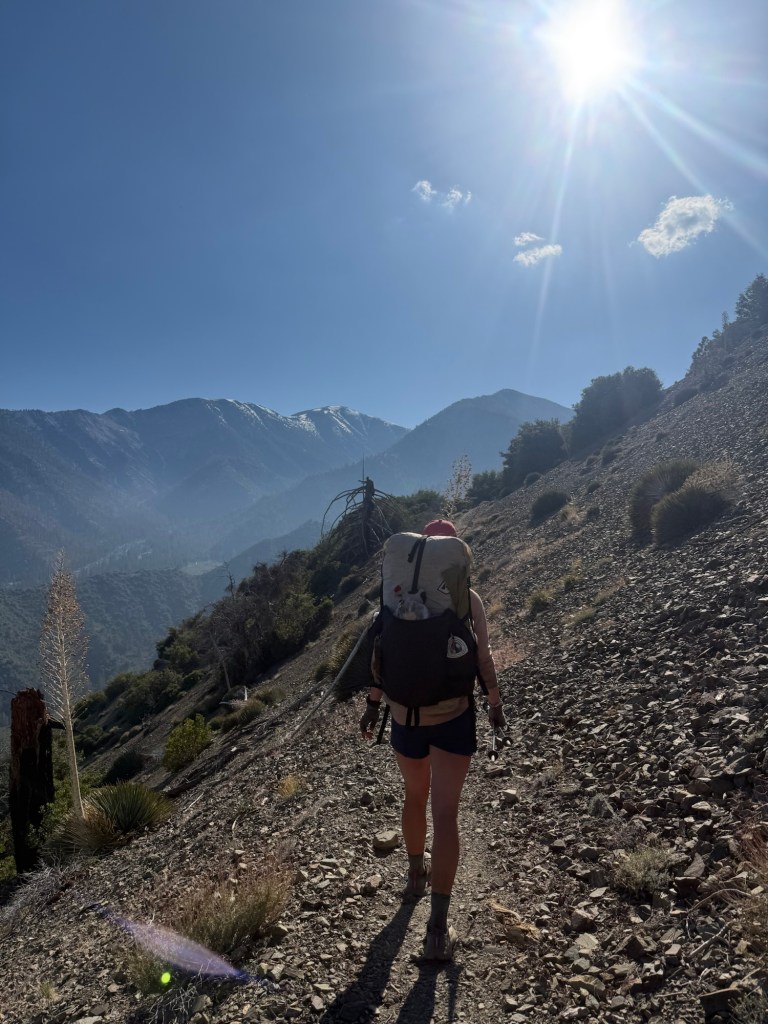
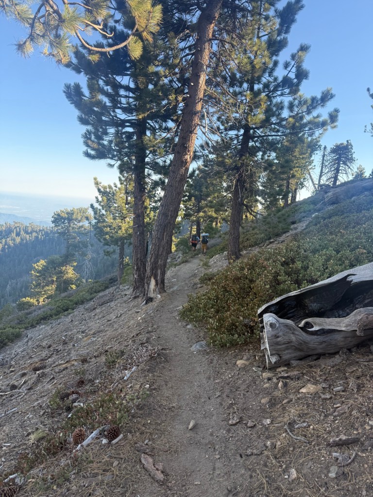
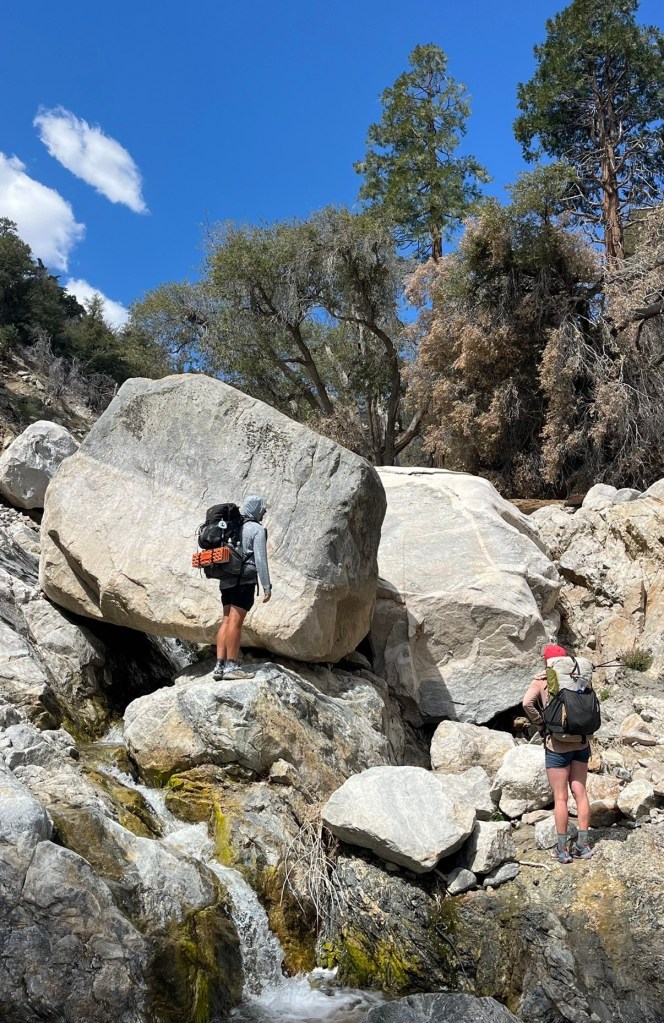
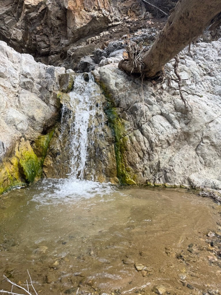
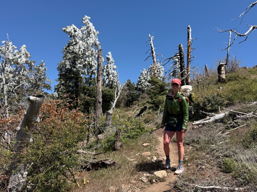
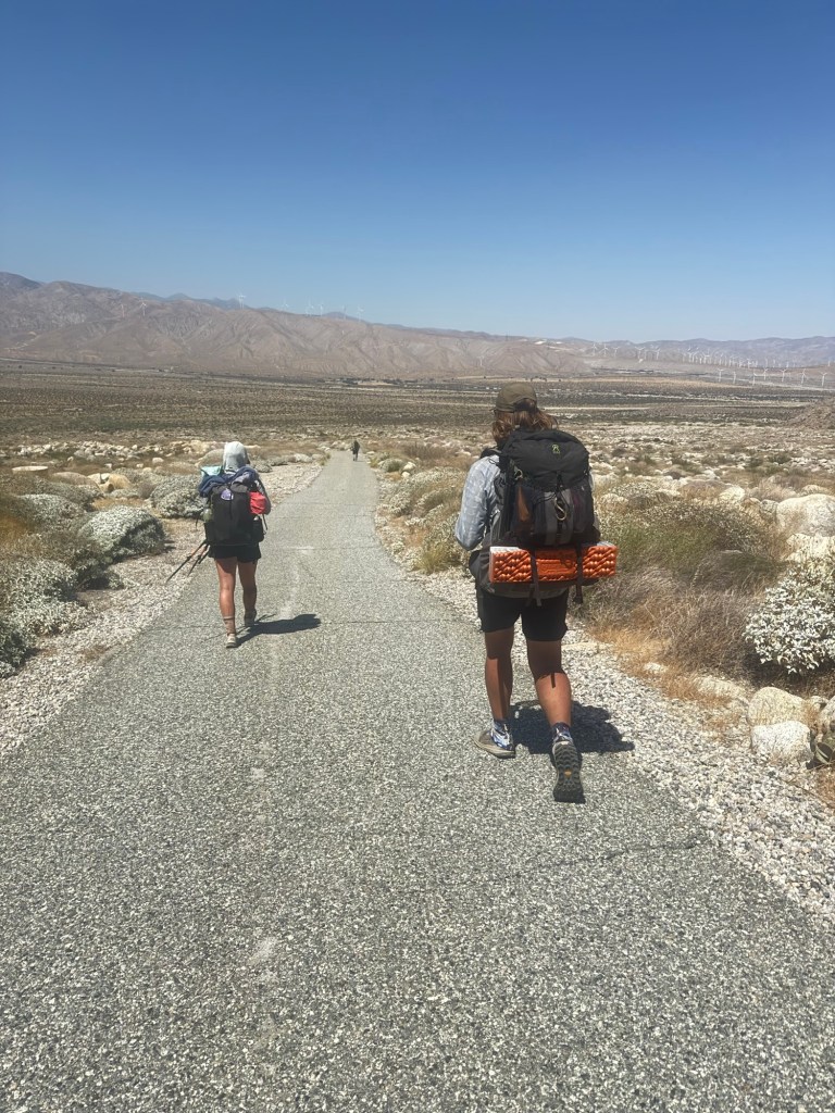
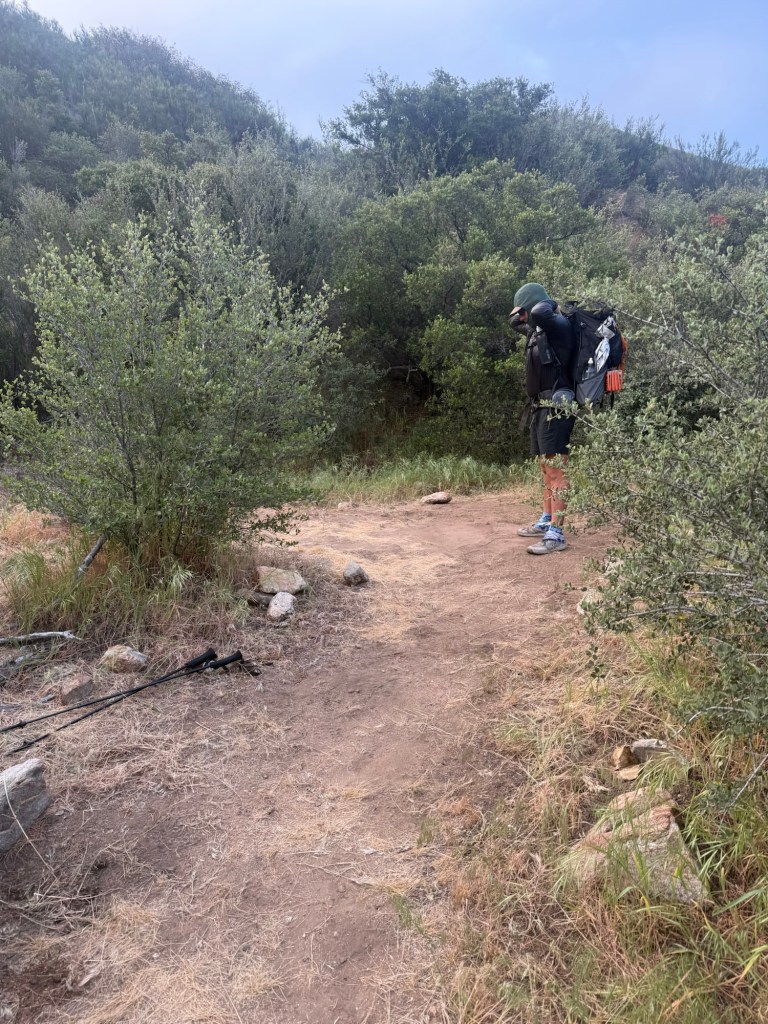
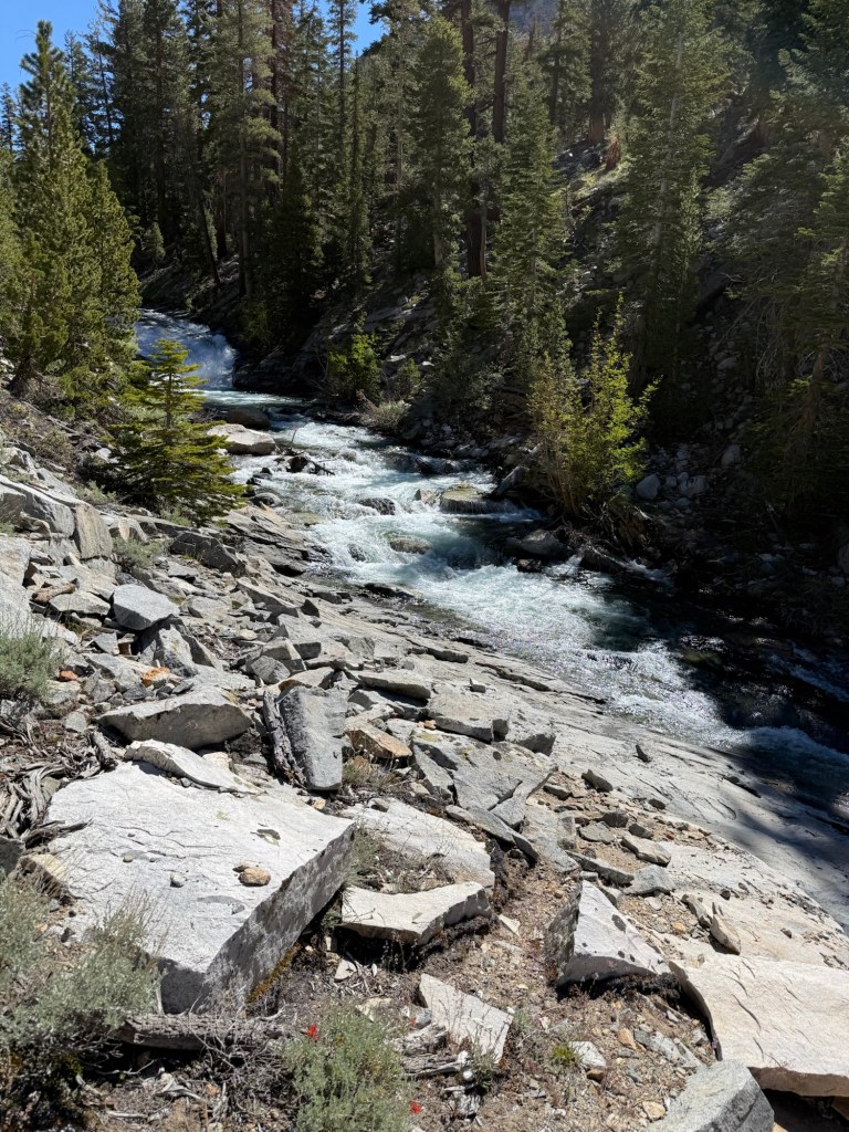
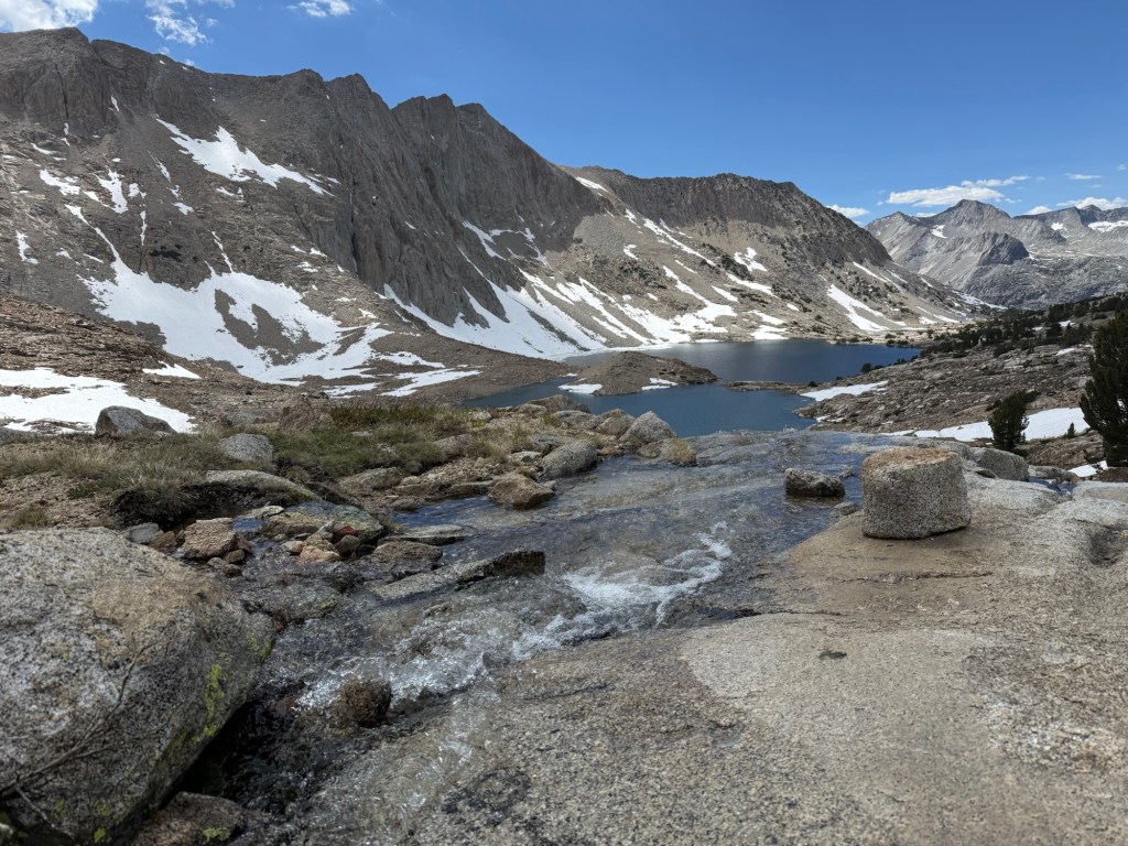
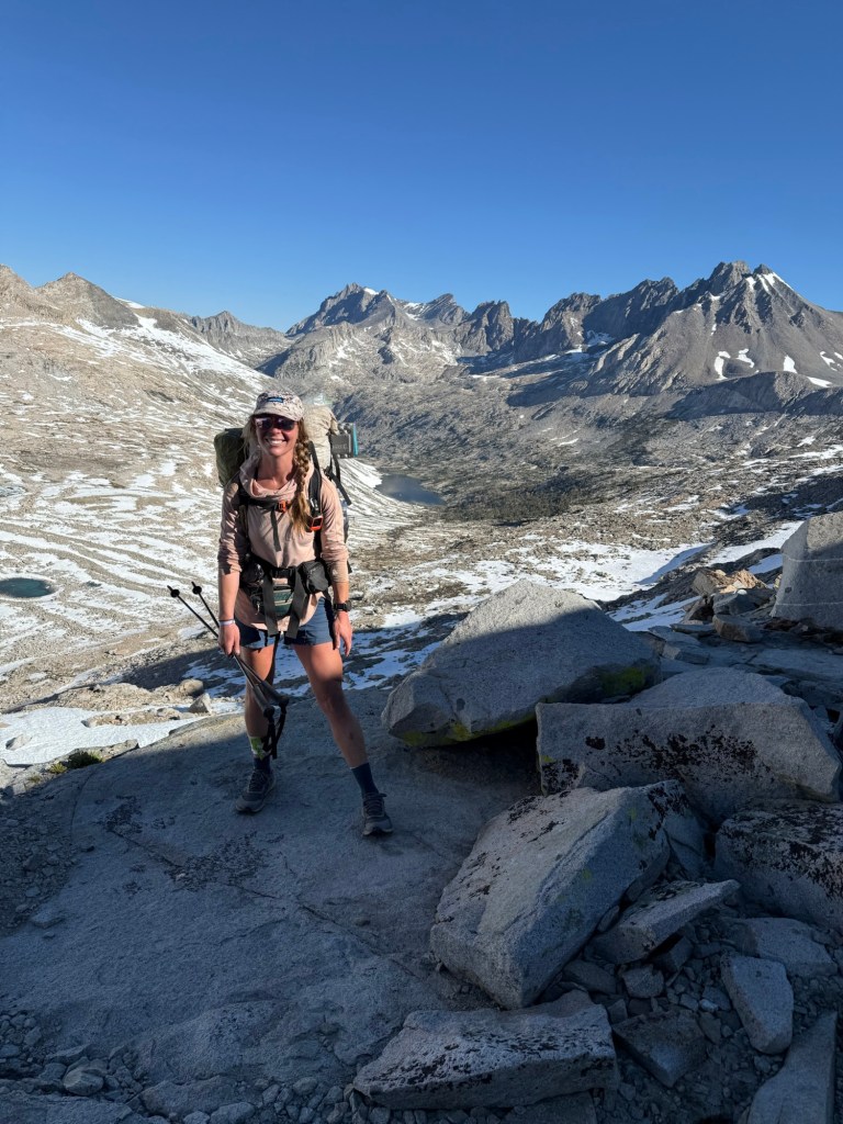
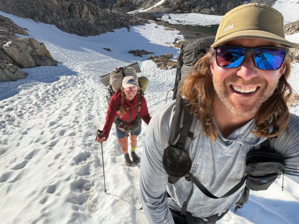
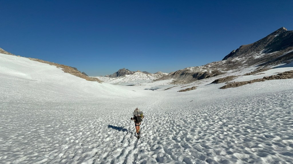
After crossing the bridge it was time for a major ascent up Pinchot Pass. 4000’ in 7.5 miles… no biggie. Which is how it started. We had a gushing waterfall to distract us for the first 3 miles. There were unfortunately a ton of water crossings that did get a little dodgy. Because of the early snowmelt, these crossings are way higher and more aggressive when compared to later in the season. The waterfall we were walking by was about 3x stronger than it was in 2018. People have died crossing these streams. The current is so strong that one misplaced step can lead to quick danger. With a 30+lb bag on your back you can imagine all the things that could go wrong. I do not want to be another victim, so I cross with extreme caution.
Once we diverged from the waterfall things changed. I do not remember Pinchot Pass being this horrendous. It was so steep my legs were screaming. On top of that I was bonking, but had no food left. Well I have food, plenty of it, it was just buried at the bottom of my bag. And on top of that there were plenty of snowbanks to cross. After the last few days, I really felt it. I was mentally and physically exhausted. I wasn’t anywhere near to throwing in the towel, but darn did it sound nice. Eventually I made it to the top, where I had a bit of a cry fest. When I get into feelings like this, I really start to miss my dog. I wasn’t crying about having a horrible day, I was sobbing because I didn’t have my dog with me. My comfort for the last 11 years, I just wanted to hug her and kiss her on her nose. But she’s in great hands at home and I’ll get to do just that once I complete this quest.
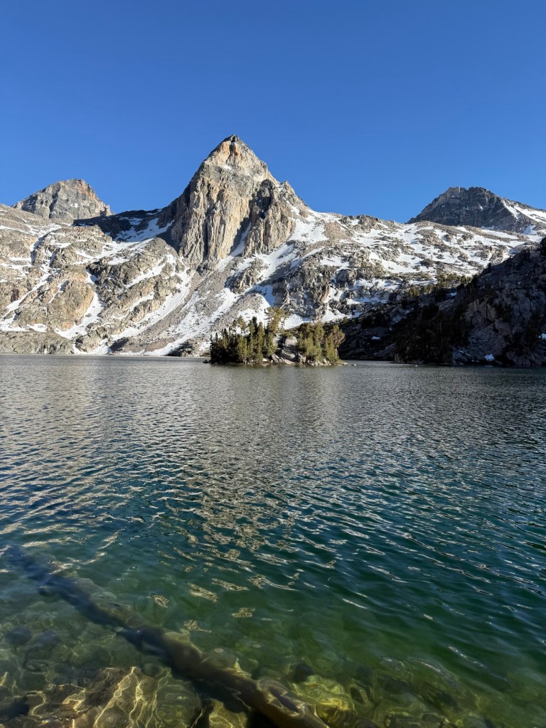
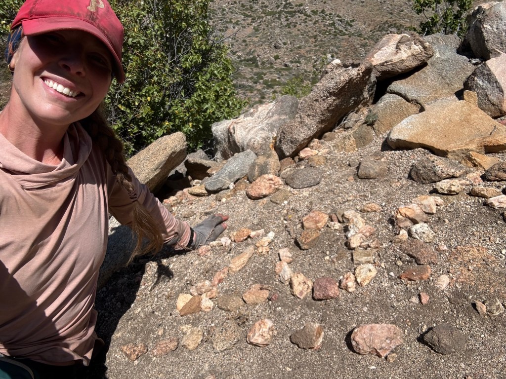
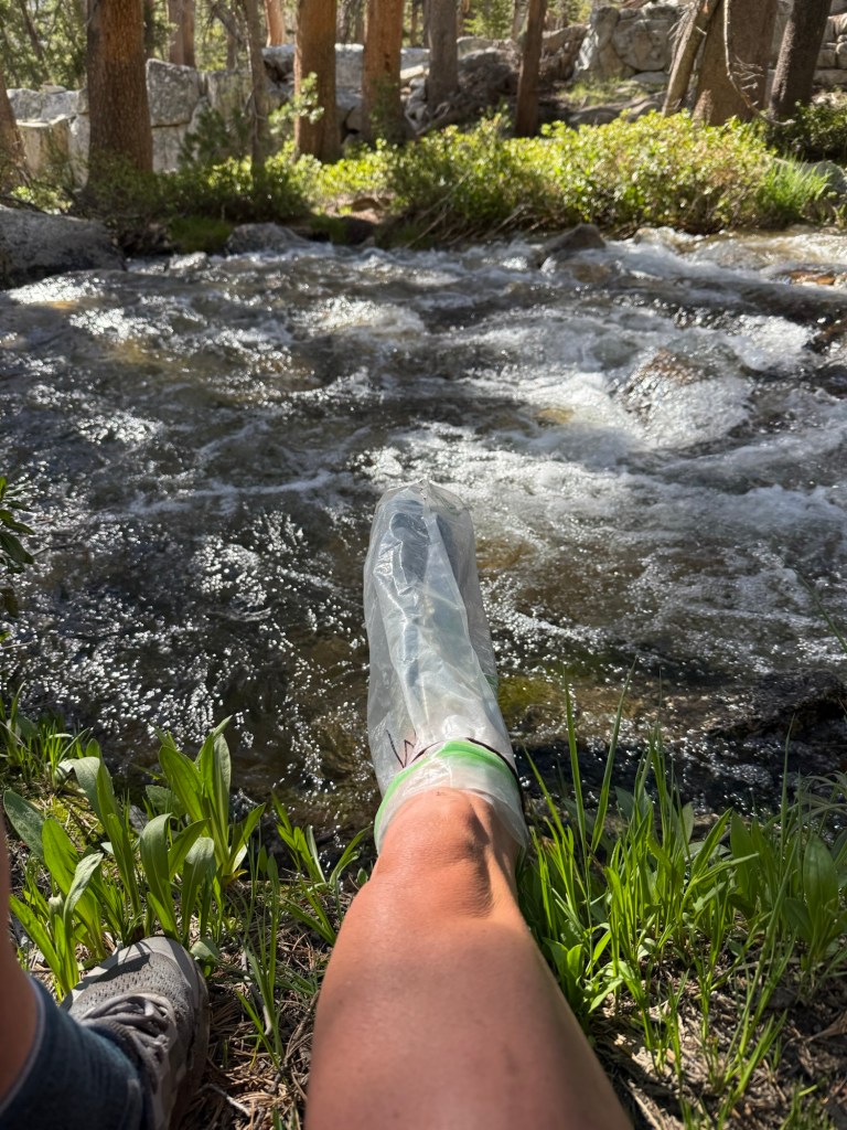
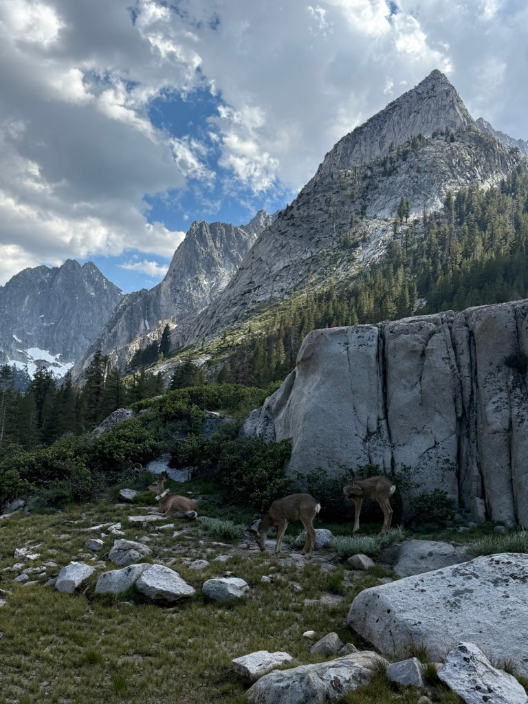
Coming down Pinchot we had a familiar view of Lake Marjorie. While taking a picture of it, I had an unfortunate accident. I rolled my ankle, as usual, and went down hard. This happens often. I have weak ankles, always have, and roll them constantly. My body at this point responds by going completely limp to protect that joint. This time didn’t go in my favor – I landed on some very very sharp rocks. Somehow the lower part of my shin got the brunt of it. At first I laughed, how could this day get any worse? And I realized just then that it was about to. I looked at the damage and was shocked by how horrible it looked and how quickly it was getting worse. I completely sheared the skin off from about 4 inches of my lower shin. It was hanging limp as the blood had a delayed response. I saw shining bright white, my brain instantly thinking it’s bone. It’s bone! Oh my god – I was in trouble. Soon blood poured out, I needed to take care of this, but in my shocked state I didn’t find it urgent. I casually got up, I’ll take care of it once I catch up to David. And when I did I told him, “I hurt myself again. This might be serious” and when I looked down I did see that it was serious, the shock wore off and soon panic set it. I got out my first aid kit (seriously, I haven’t needed it ever before this trip. Now it’s seeing daily use) and tried to see what I could use to fix it. Running low on supplies, the only thing I could do was use an alcohol wipe to clean it and wrap it in a gauze pad with neosporin. I nearly passed out cleaning it (no clue if I truly did see bone) but got it together to get it as taken care of as possible. I think it looks worse than it is. Another scar to commemorate this trip!
It hurt a lot, each step sending a jolt in my shin. But I knew it wasn’t an emergency. Just gotta keep it clean. Out here in the wilderness that should be a piece of cake – ha!
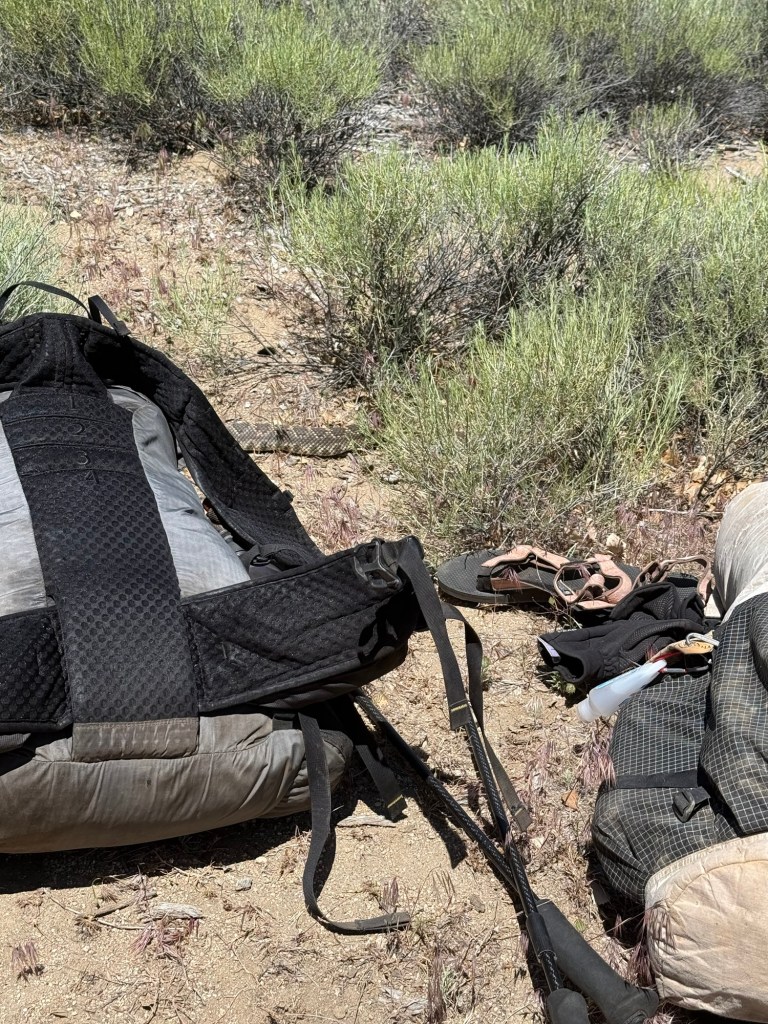
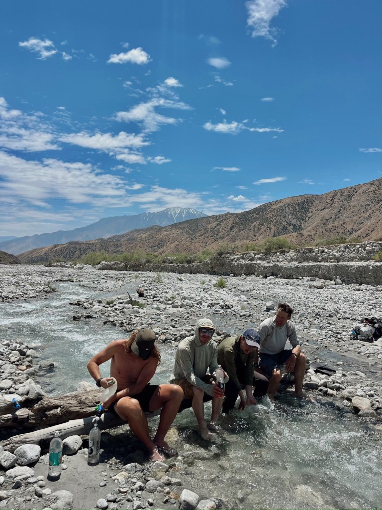
I thought we’d be able to make sure that happened, but then realized we had 5 major creek crossings coming up. I did not want to get this ankle wet. I was successful for the first 4. I used a smell proof odor bag (not so odor free now) to keep it dry. Coming up to just below my knee, I did a decent job making sure no water got in. That all changed with the last crossing. It was so intense and gushing that there was no way I could keep my streak going. I crossed at the lowest part and still had water up to my upper thighs. My hard work ruined.
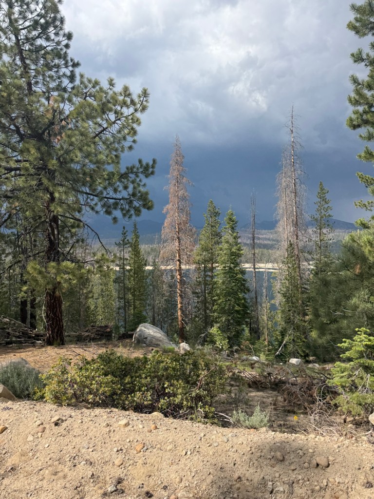
We cut the day a little short. At 6:00pm we realized we had been walking for just under 12 hours. I for one was beat – quite literally. So we set up camp just a few miles from Mather Pass, which is so much more gentle than Pinchot, but appears to be holding onto a lot of snow. Crossing early is recommended so we won’t have a problem doing that.
Day 58: June 12; 22.4 miles
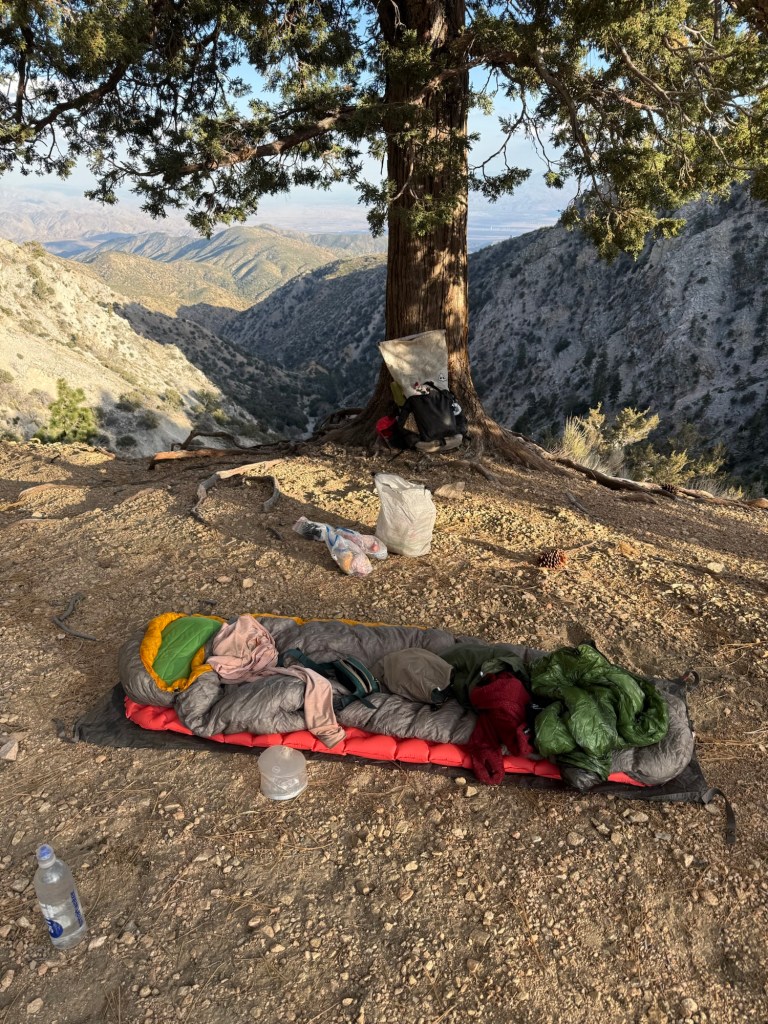
I’m so happy I didn’t invest in a new sleeping bag. I have been so warm at night that blowing all that money on a warmer bag would’ve been for nothing. Now I can really eye up a new pack!
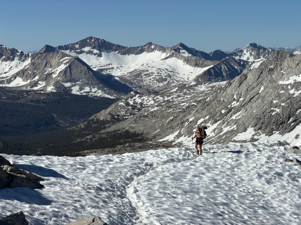
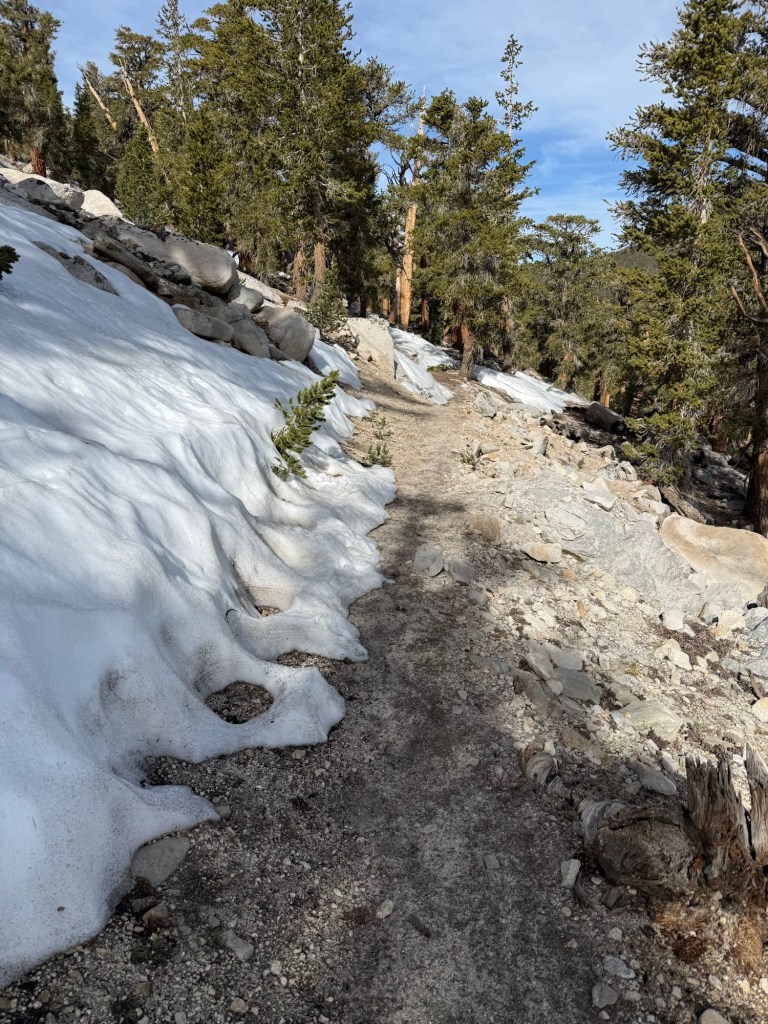
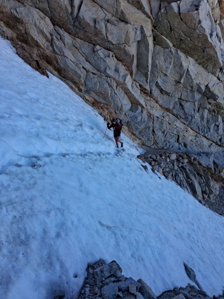
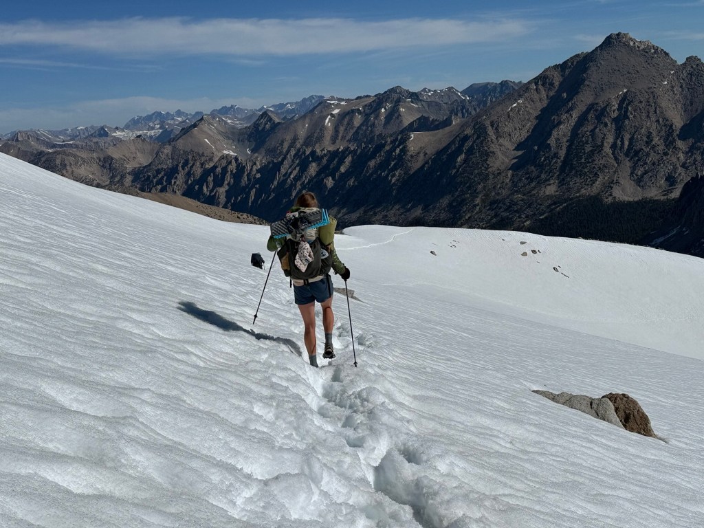
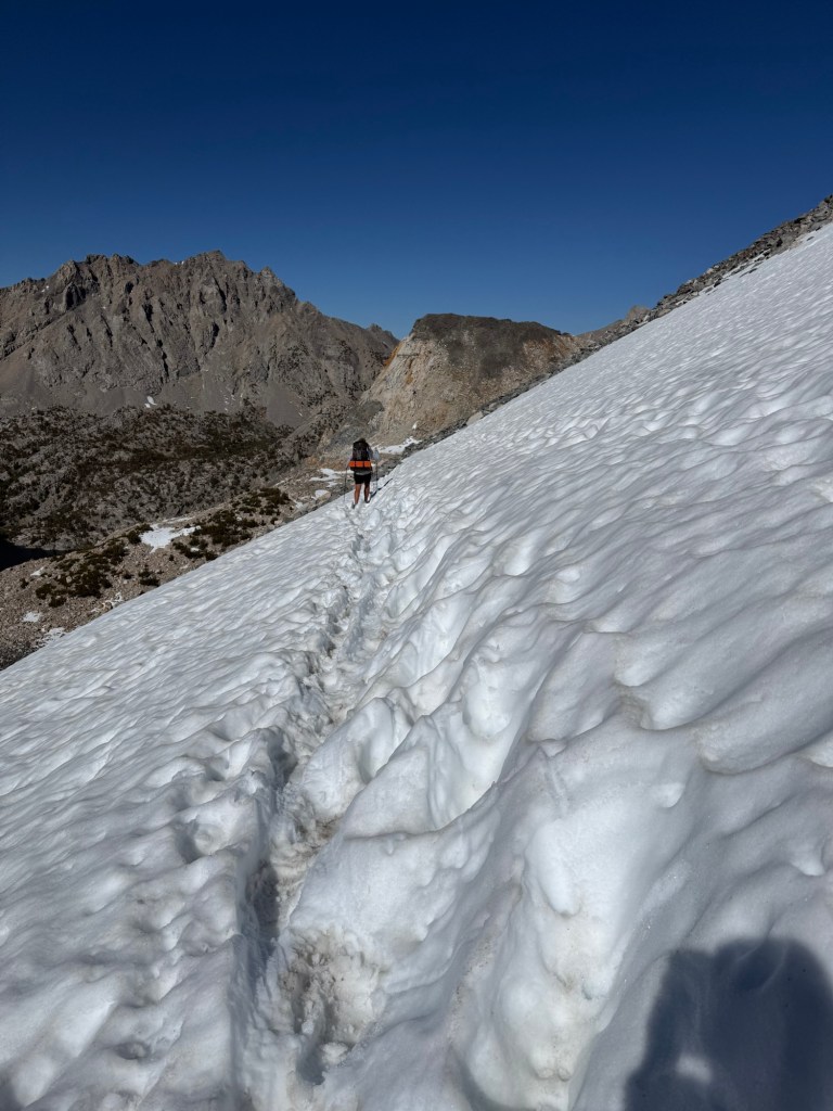
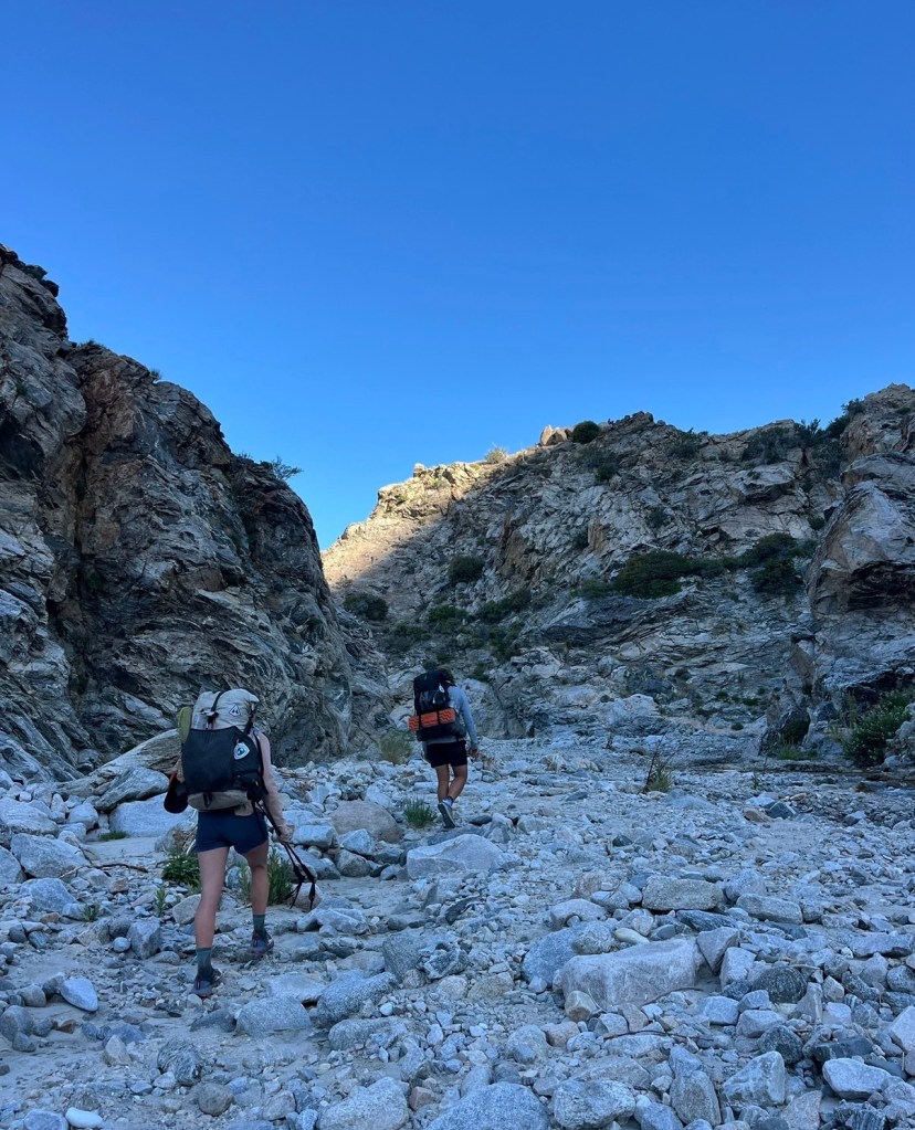
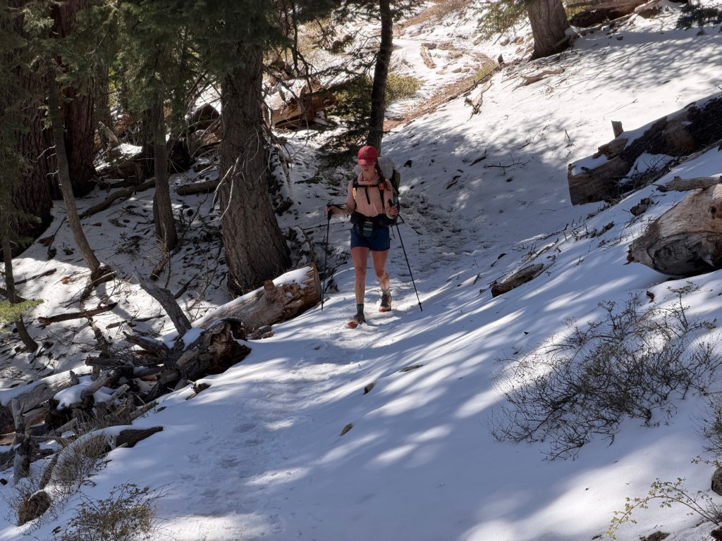
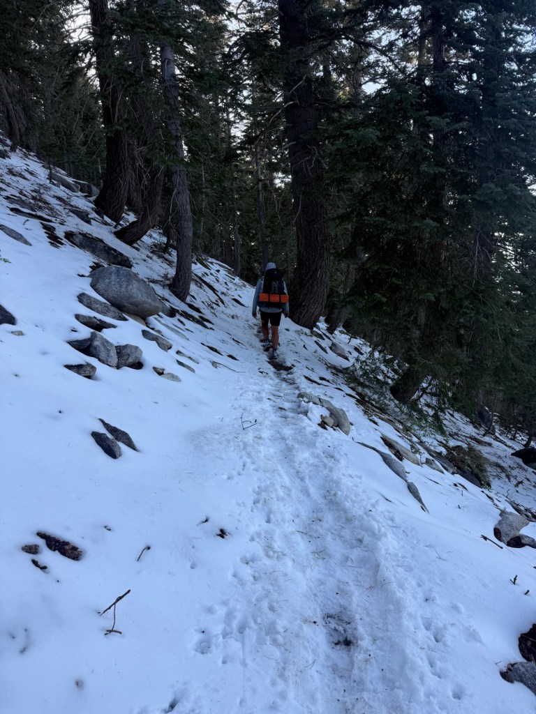
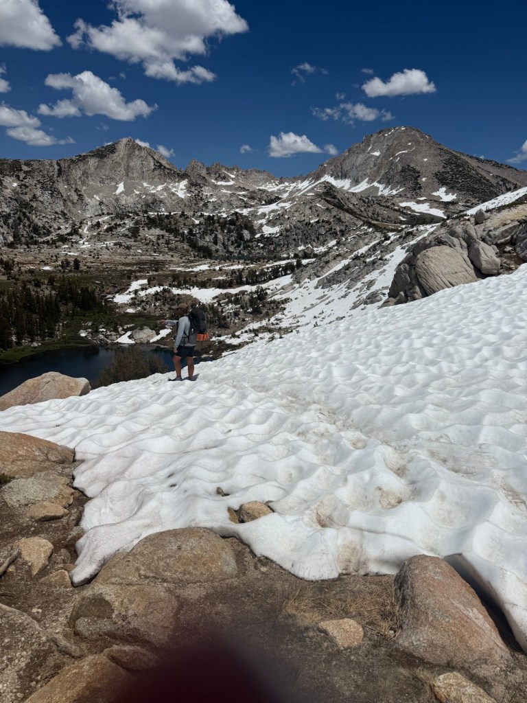
We woke up early to get over dreaded Mather Pass. The reports all complained of snow and ice impeding travel. I’m really getting annoyed by this snow. Getting up the pass wasn’t difficult, and boy did it flood back memories. It’s funny how being back here I don’t remember much of anything from 2018, but passing by nondescript sections of the trail bring back a memory like it was yesterday. The daunting approach to Mather did just that. I wish I could forget coming down off of it today. It had route finding, it had snow banks, it had scree scrambling, it had everything I hate about coming down from a pass. At one point I was literally rock climbing down, looking for hand and foot placements so I wouldn’t tumble off the mountain. I was more than thrilled to be off that pass.
My shin looks a lot better than it did yesterday. The goal is to just keep it dry and clean.
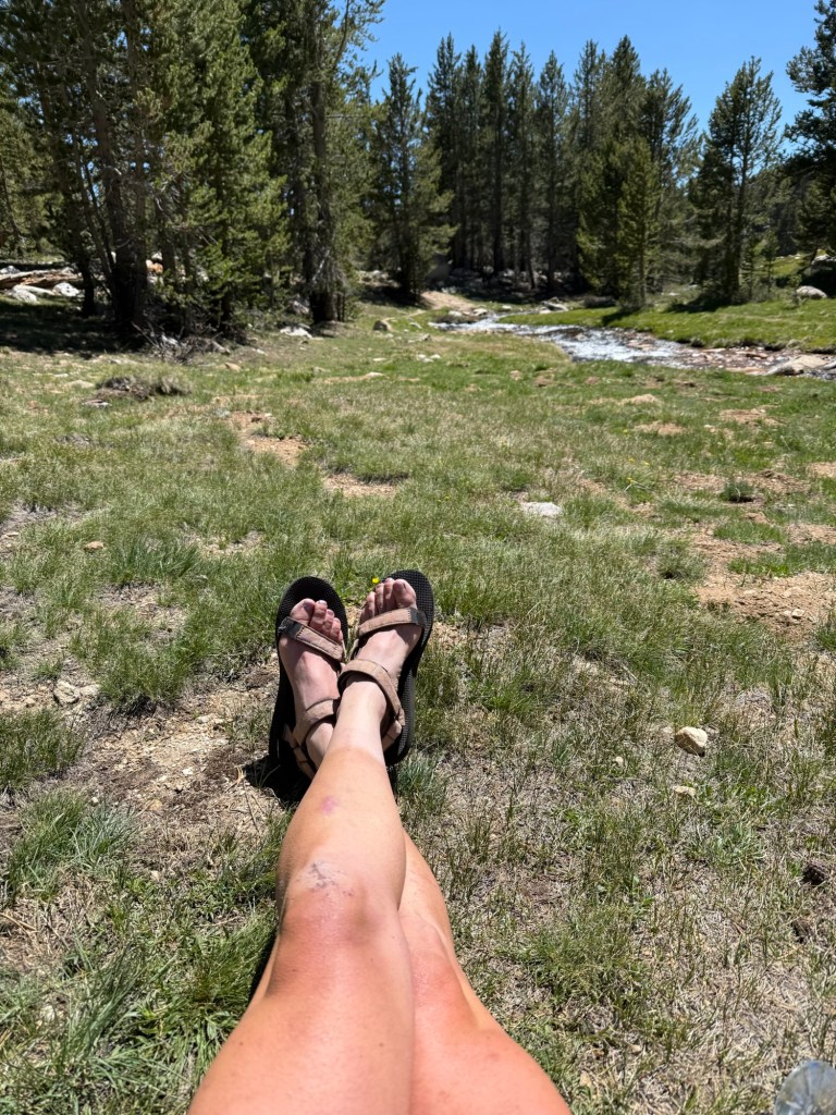
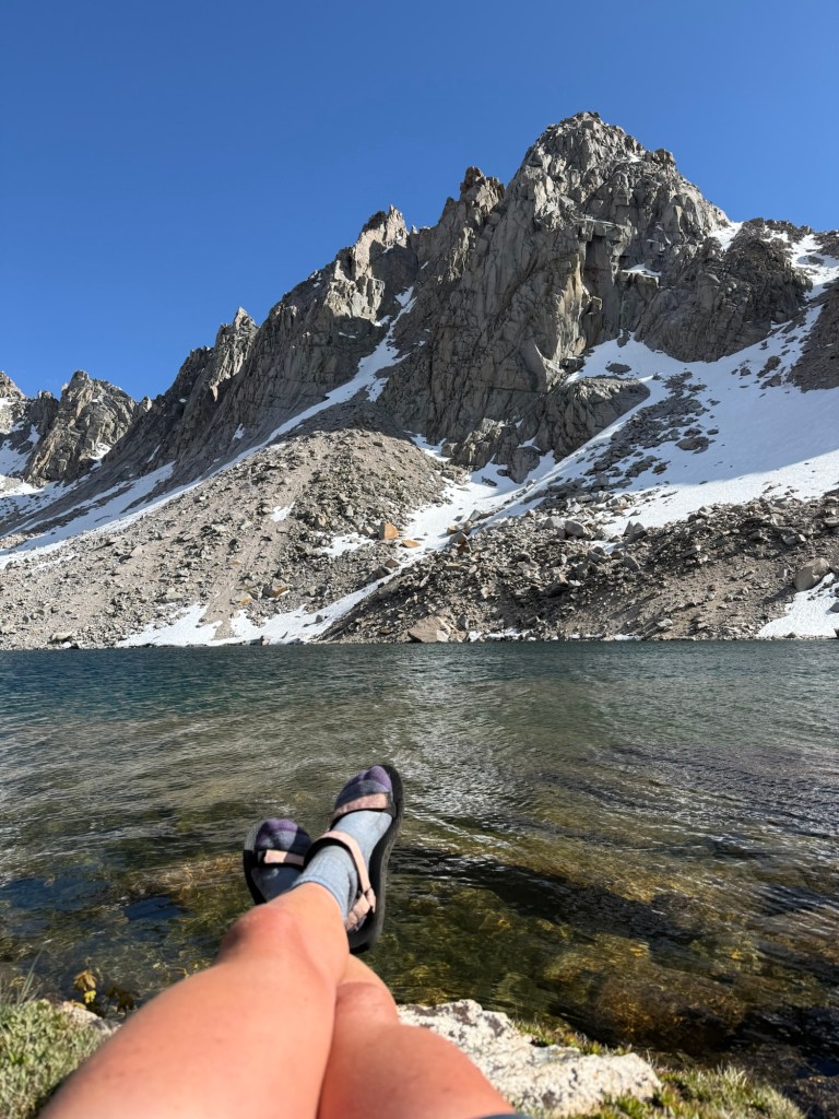
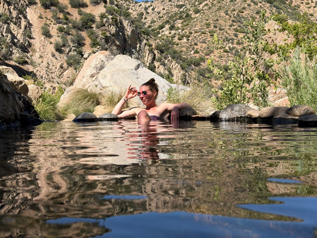
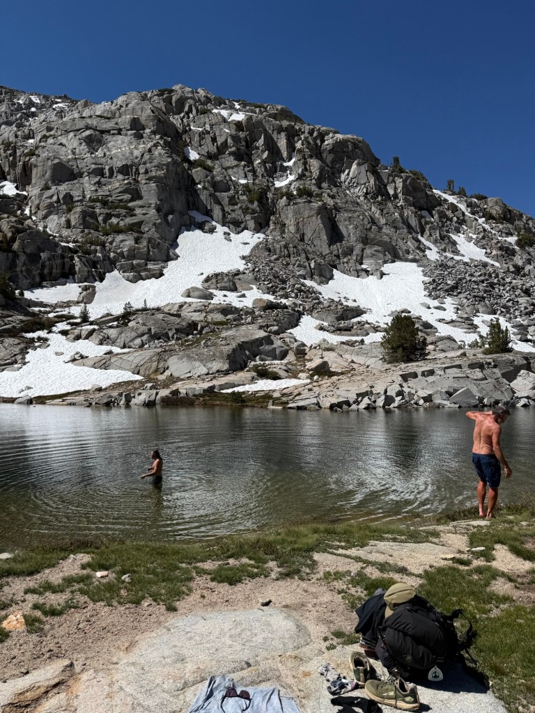
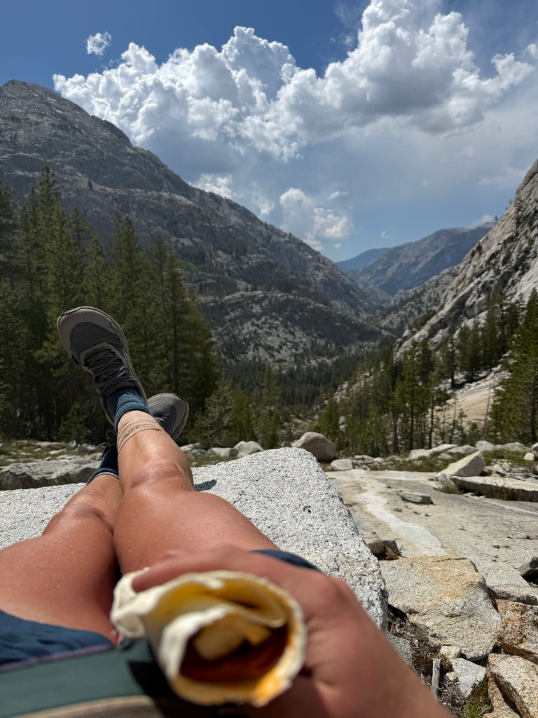
Hard to do with all the alpine lakes begging to be swam in. I did take a quick dip, it was chilling to the bone, so I didn’t dunk my head under. It was refreshing in the afternoon sun.
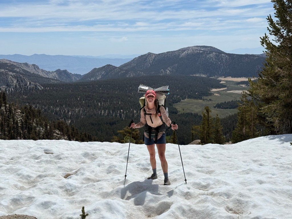
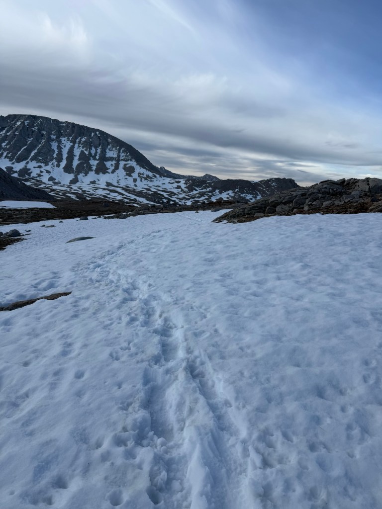
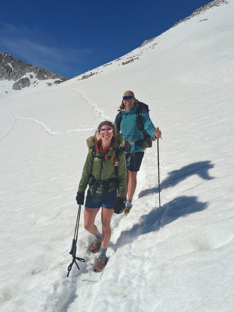
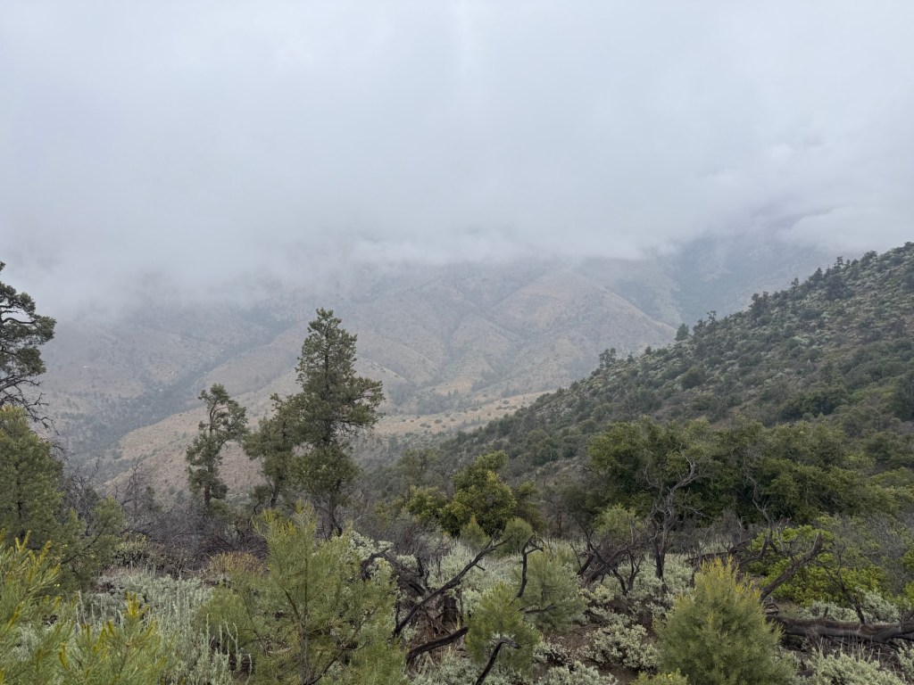
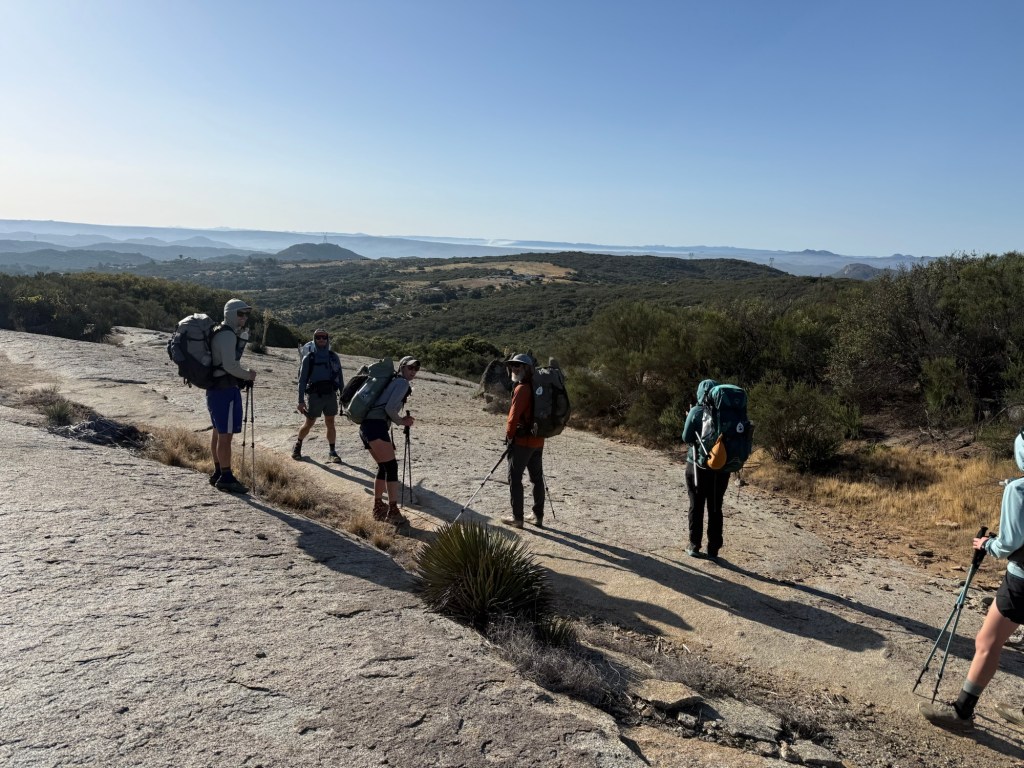
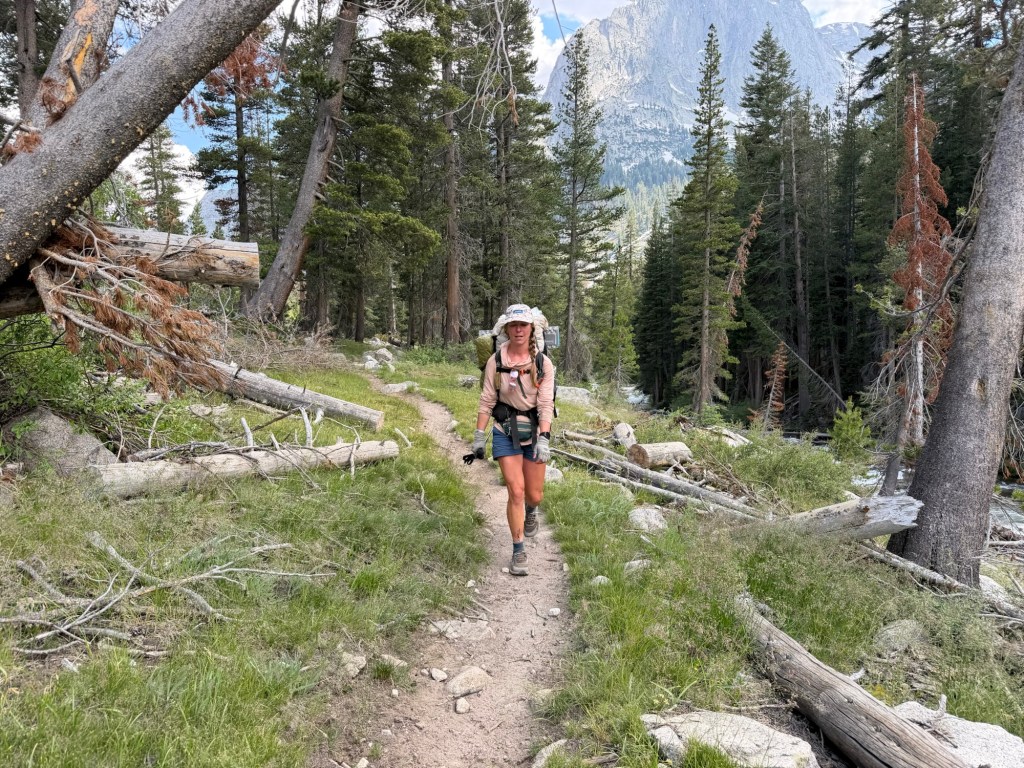
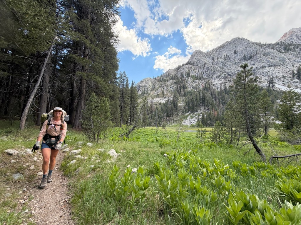
The rest of the day was a slog. After such an intense morning, the afternoons always tend to be rough. The mental and physical toll these icy passes take on me is horrendous. Your mind has to be constantly firing – strategizing each foot placement, thinking five steps ahead, figuring out the safest and most effective way to bypass a large snow field. Physically, every muscle is firing to keep you from sliding down a mountain or a rock pile. It adds up quickly and just plain knocks me out. Plus it just takes such a long time to only go a few miles – it’s a lot. Yes, I’m complaining. And will continue to do so until I no longer have to deal with snow.
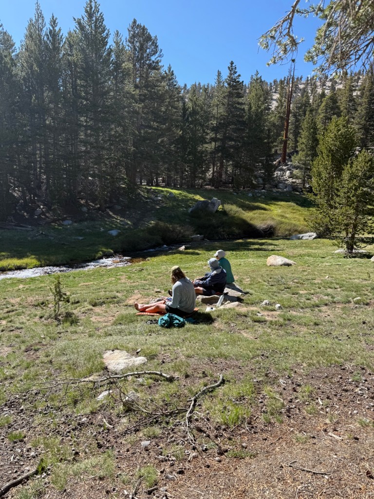
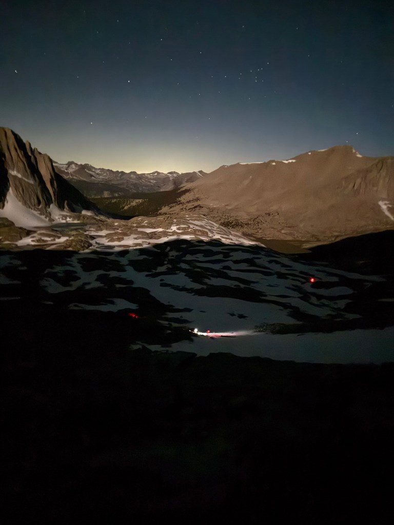
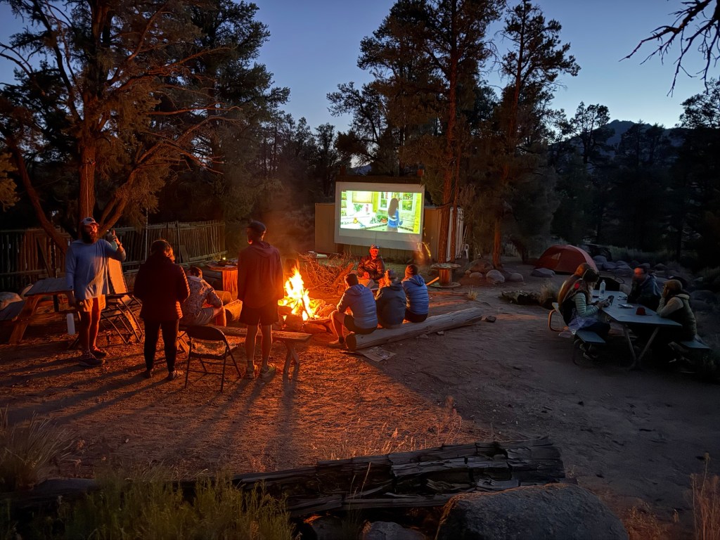
We cut our day a little short after being told there were “25” other hikers ahead of us doing exactly what we were – going as high up Muir Pass (tomorrow’s venture) as possible. It’s known for holding onto snow and was reported to have 6 miles of snow/ice walking. Not wanting to walk in slush, the only way to do it is camp close to summit and go up and down early in the morning. Well with that amount of people ahead of us and already closing in on 6pm, we opted to go camp in the meadow, which is known to have an abundance of spaces.
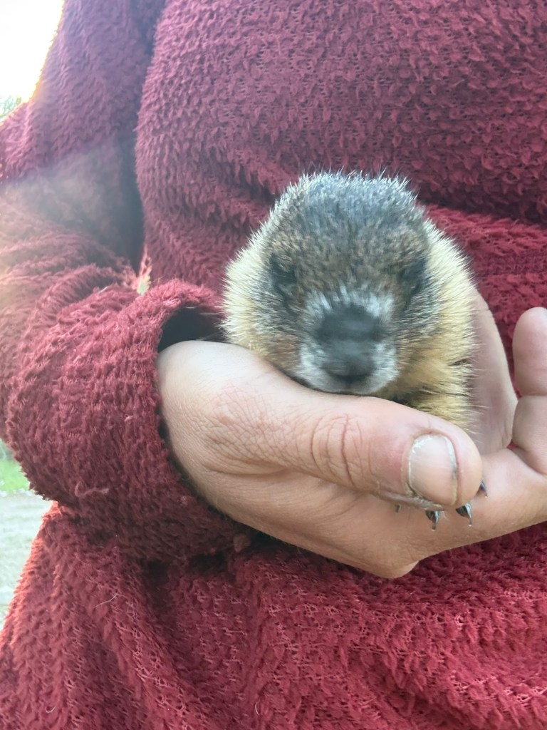
It’s a great spot. Just as I was about to cook dinner, however, I noticed a tiny little chirping thing walking right over to us. I was overjoyed – it was a baby marmot! It was so unbelievably cute and coming right to us. I’ve never seen a baby marmot! And that’s when it hit me – you’re not supposed to see baby marmots. This guy was lost and tiny. He’s not supposed to be this far from nest or mama. I know that baby squirrels will come up to humans if they need help, it seems marmots follow the same protocol. Except there was nothing I could do to save this baby. There are no rescues out here, and I sure don’t carry rodent formula with me.
I knelt down by the shaking little guy – obviously cold with the setting sun. I put my hand out and he nestled right into it. I couldn’t help but pick him up. He just wanted warmth, and maybe a little comfort, and dang if he didn’t choose the right sucker. I looked around for his mama and even asked people camping nearby if they saw any marmots. Only the baby, they said, who they saw crawling around crying hours before we got there. This poor creature! I didn’t know what to do. He would die from cold during the night, and if he did make it, he’d just die from hunger/thirst. I theorized he wandered out of the nest or his mom rejected him. Either way his outlook was grim. The only thing I could do was keep him warm overnight. So I wrapped him up in my town shorts with a handwarmer and prayed that he’d at least know comfort and warmth over night. He nestled right in, calm and no longer crying.
I, on the other hand, was bawling. This poor little creature just wants to survive, but nature has another idea. It’s just a fact of life, it’s cruel and heartbreaking.
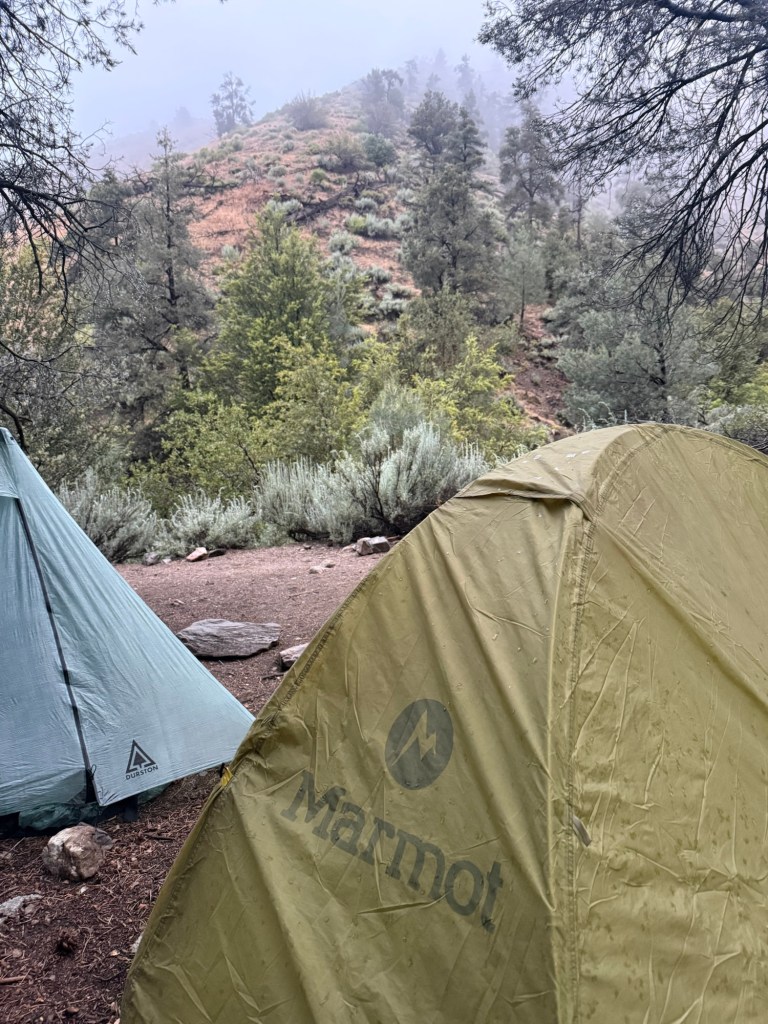
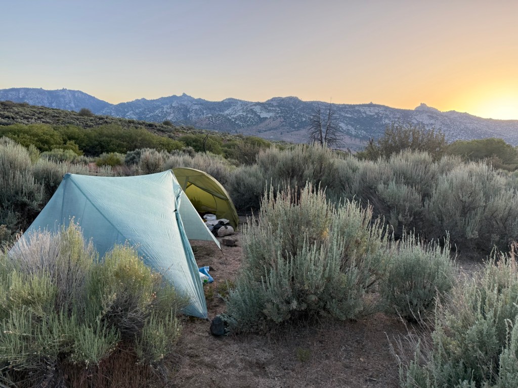
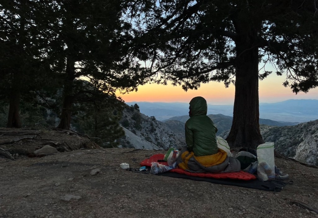
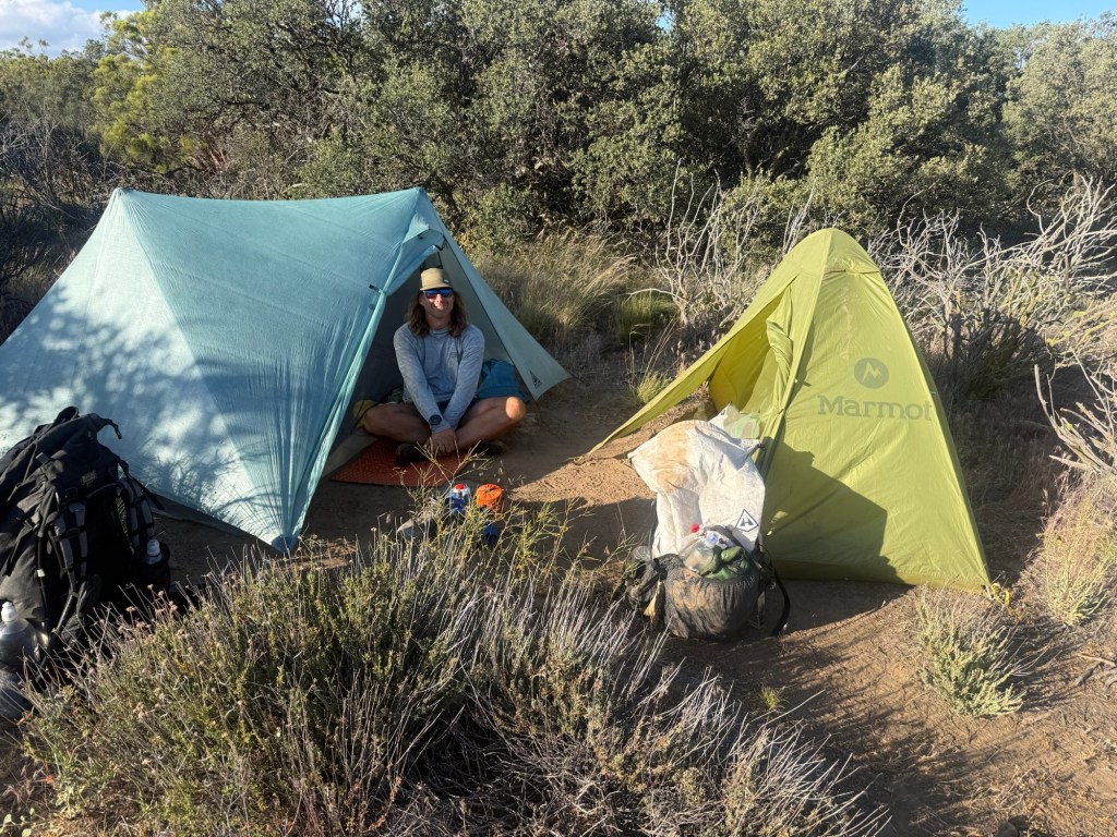
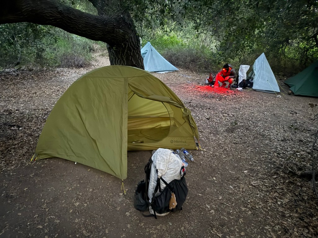
Too tired from the day and marmot drama, I opted to cowboy camp, ready to get up early to tackle Muir Pass.
Day 59: June 13; 24.1 miles
Baby Marmot survived the night! I’m not sure if I’m happy or sad about that – the next sentences will highlight why. If he passed, he would’ve had a proper burial. I would’ve mourned his short life, but would find solace knowing it ended warm and with love. Having lived, I knew we’d have to say goodbye not knowing if he’d be okay. I can’t take him with me (I considered it), a pack is no place for him. As the sun was rising and it was time for us to leave, we made him a little nest and put him in it, trying to keep him warm until the sun did the job. Without food and water, he had little to no energy, but did put up a little fight. He clung to my hand, breaking my heart. I had to let him go, nature has to run its course.
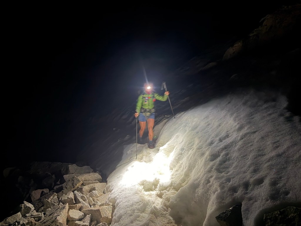
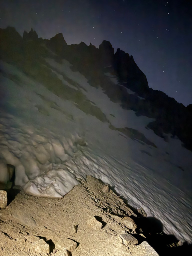
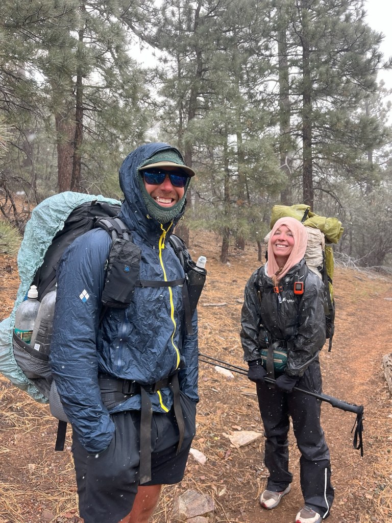
Through tears I put on my wet and cold shoes and went on my way up Muir Pass. It was a rough one. The snow started a mile in, requiring more route finding and steep climbs up icy terrain.
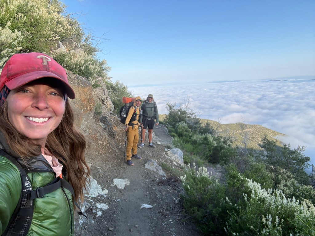
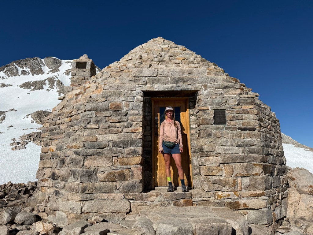
After an hour or two, we made it up to the top, only 3 miles. Visited the cherished Muir Hut, which seems to have gotten a bit of a facelift since 2018.
Exhausted already, we had another 3 miles of snow walking down the pass. At least the bootpack was easy to follow and the grade was not steep. Though it was long, I’d take this over any other of the previous passes.
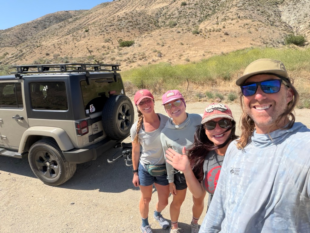
After conquering the pass, we took a dip in Evolution Creek. Only a few of us were brave enough to go under, somehow including me. It was enough to take my breath away. The half second I was under felt like an eternity. Water straight off snowmelt is unsurprisingly unbearably cold. But it does a good job of waking you up! We’ve been hiking on and off with Silver, who has made it a point to dip into just about every body of water he comes across on trail. I’m good with a rare dip here and there.
My shin has been acting up like crazy. I’m not sure if it has anything to do with the massacre, but it feels like I have horrible tendinitis just below the wound. Kent, an ER doctor, just happened to be on trail. He thinks I may have gotten some of my tendon on the fall, knicking it and now causing pain. I hope that’s not the case. He’s mostly worried about infection, but after taking a look at my left leg he noted that I obviously have a great immune system, seeing all the new scars I’ve acquired on the PCT.
The rest of the day was downhill, which I noticed absolutely kills my shin. This tracks with tendinitis, which I think I have because I need to roll down my socks to avoid the wound. My sensitive little ankles can’t tolerate compression – a big reason why I can’t wear boots with ankle support. I have to figure out how to make it all work because right now the pain is too much to push through, and I sure as heck don’t want to make it worse.
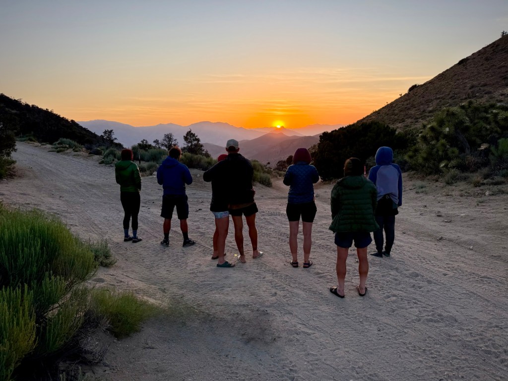
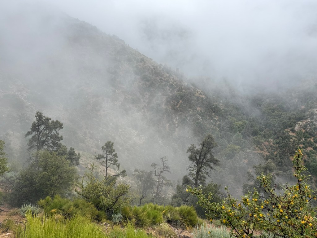
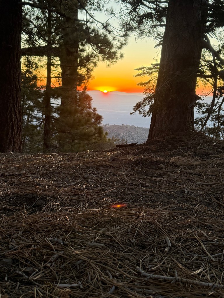
After what felt like a century of a day, we made it to camp. Everyday out in the Sierra feels like 5, mainly because of the tough mornings dealing with snow. Thankfully, Muir seems to be the last of the passes still holding onto significant snow. I’ll be happy to say goodbye! I wish I could say the same about mosquitoes. It seems we’re entering the hatching season, it’s been so brutal. Today was the worst of it. Can’t even leave my tent because of the bloodsuckers! Which is really unfortunate because it’s a gorgeous sunset.
Day 60: June 13; 15.4 miles + 4.5 bonus miles
Woke up pretty darn refreshed. The temperature was perfect for sleeping. Slept in a little bit later because Seldon Pass was rumored to be snow free. Hallelujah!! Packed up quickly because the mosquitoes were already up and ready to annoy us.
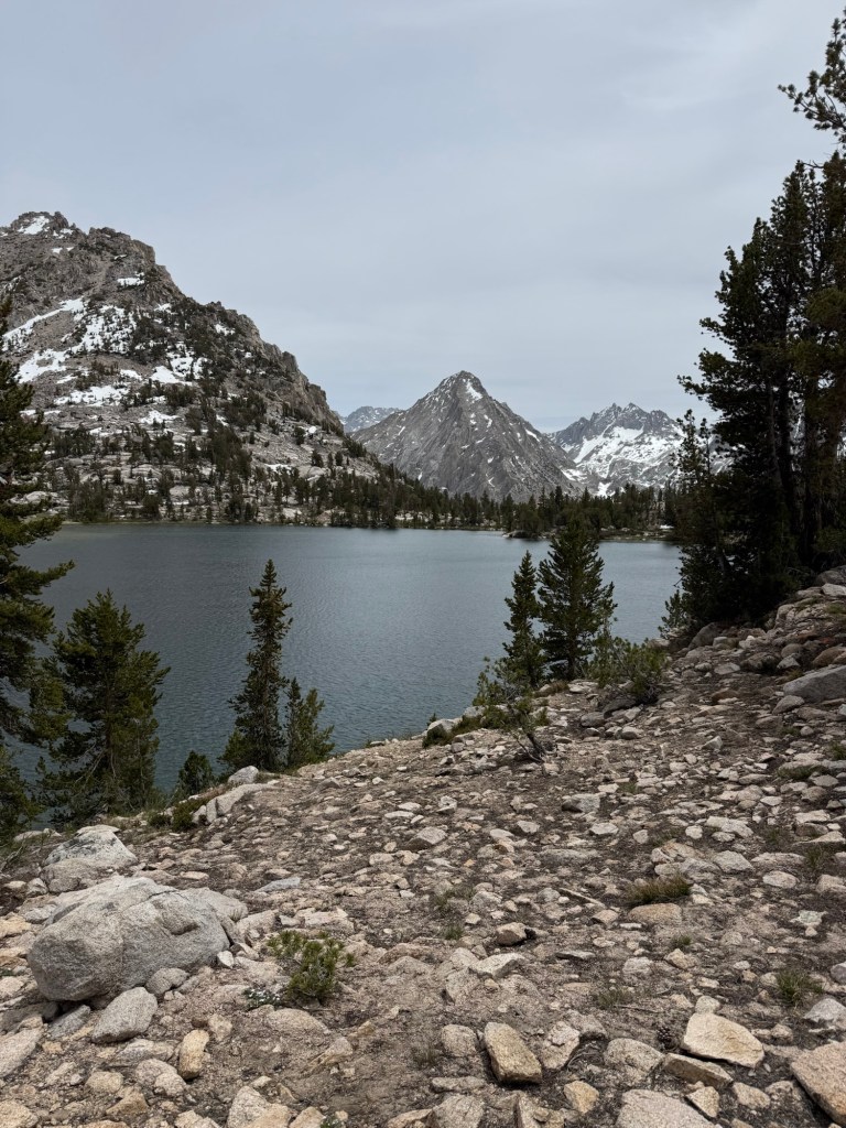
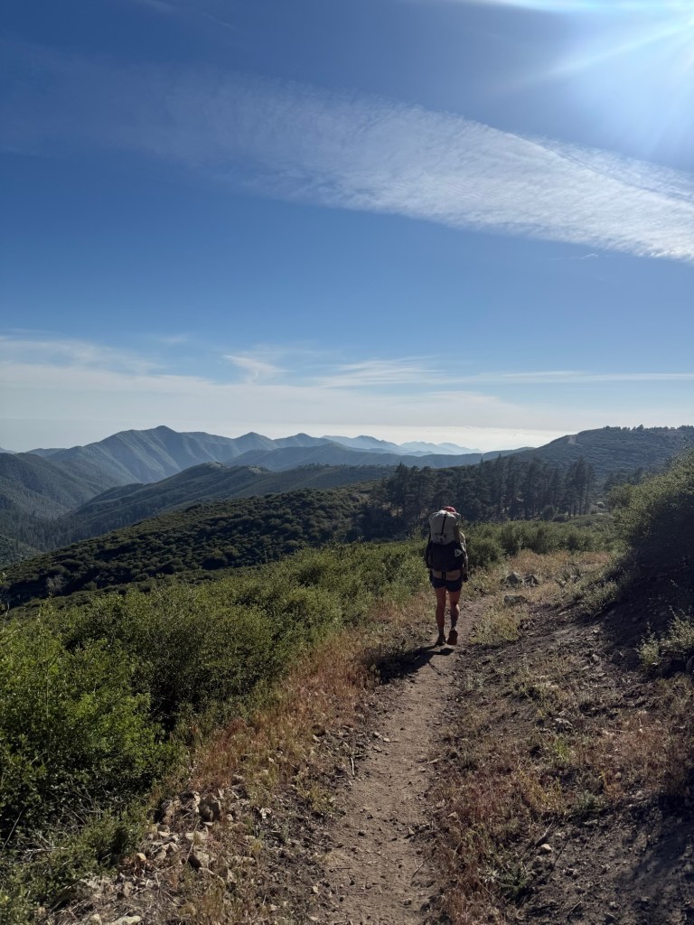
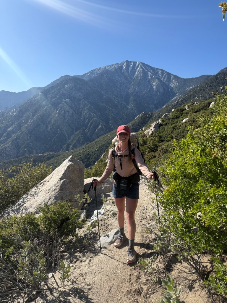
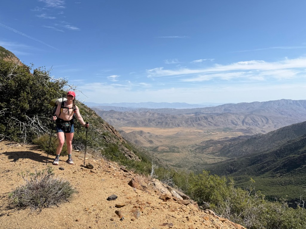
The climb up the pass was my favorite yet. Relatively gentle with gorgeous lakes along the way made for an enjoyable ascent. The last time I was here I was completely alone. I remember stopping on the manzanita lined switchbacks just listening to the silence. There were no people, no birds, no planes. Just silence. Today was a different story, it was crowded and full of distractions. Both great experiences.
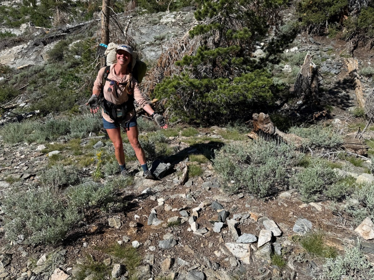
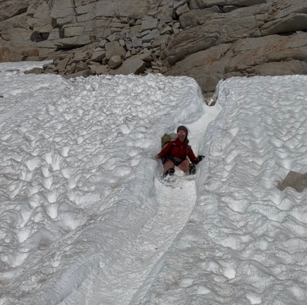
At the top we did see that there was some snow. Enough for a perfect glissade. After a quarter mile everything cleared up. I wish the same could be said about my shin. I’m fairly certain it’s tendinitis, the only thing that will help at this point is rest. But I don’t foresee that happening until Mammoth, 50 miles away. It’s not unbearable, just very painful on downhill descents. It slows me down considerably, frustrating me to no end.
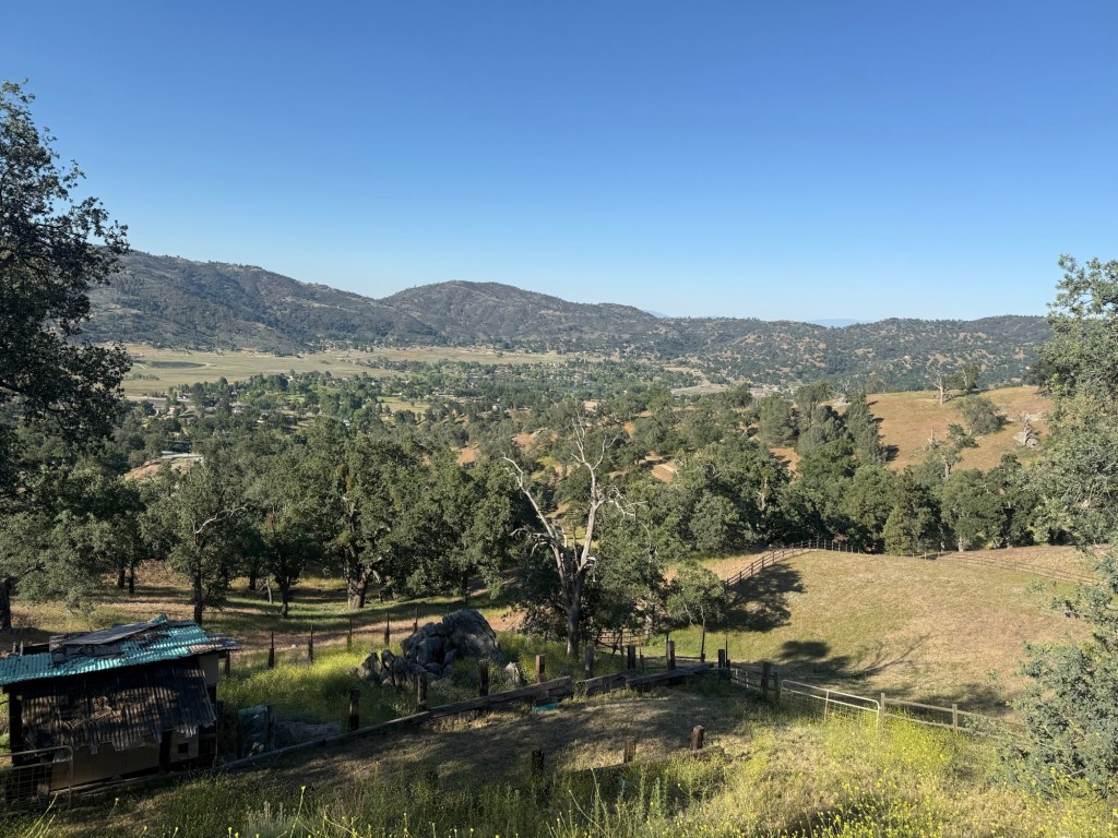
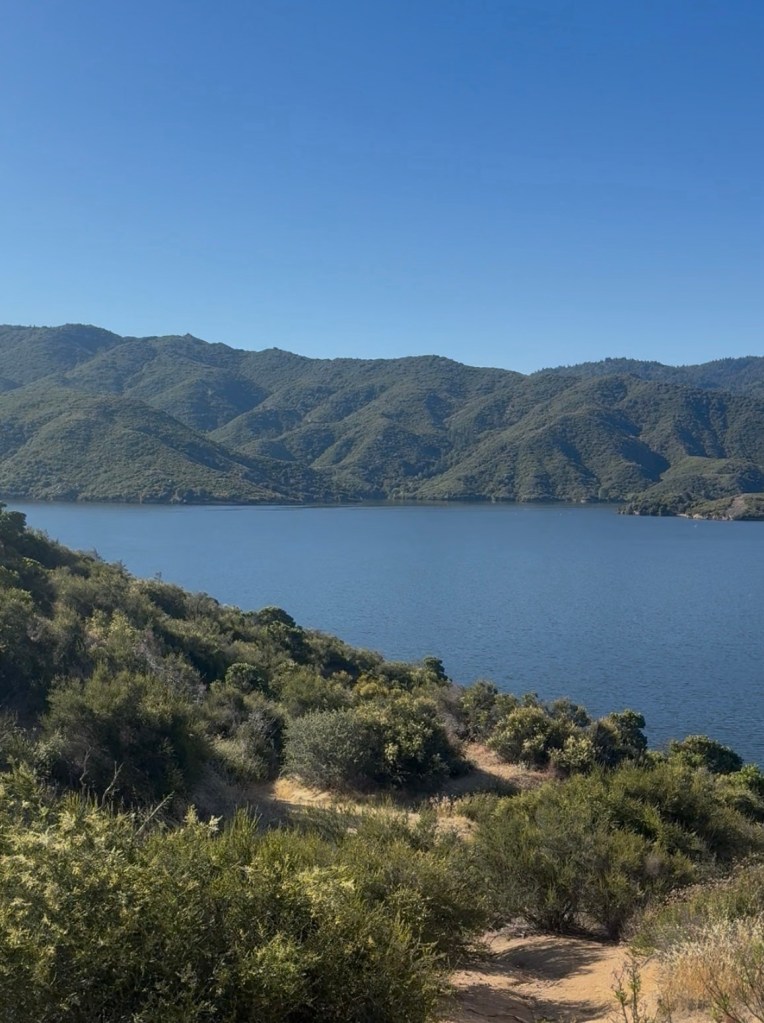
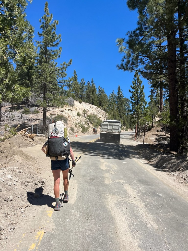
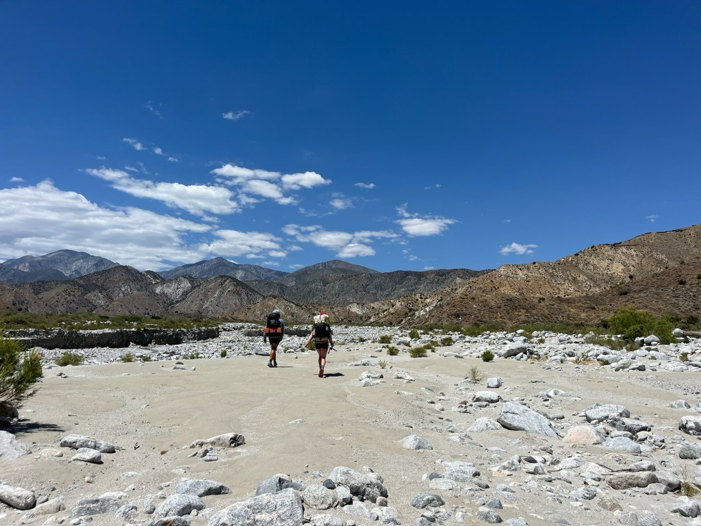
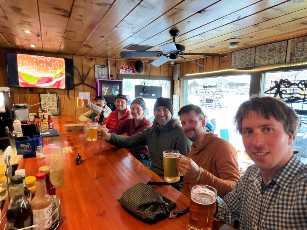
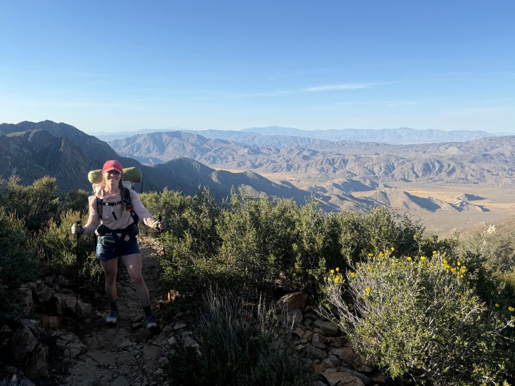
Eventually we made it to Bear Ridge Junction. We were back and forth as to whether or not Vermillion Valley Resort (VVR) was worth the detour. VVR is widely considered a JMT and PCT staple. I skipped it in 2018 and told myself I’d stop this year to check it out. But what I thought was a 10+ mile detour didn’t sound pleasant. But after mapping it out on top of the pass with a number of other hikers, we saw it really only added 5 miles plus would cut off the next pass, miles I’ve already done. To me, this made it all worth it. So we took the detour and descended (well I hobbled) 3000’ to Edison Lake.
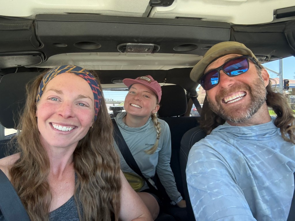
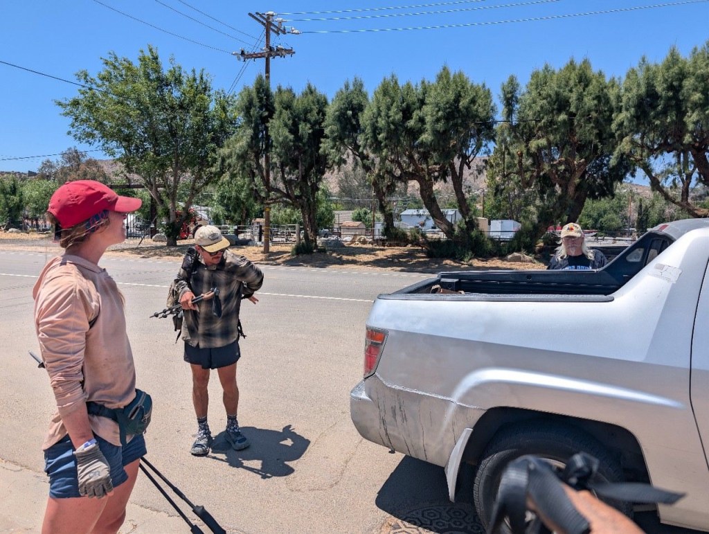
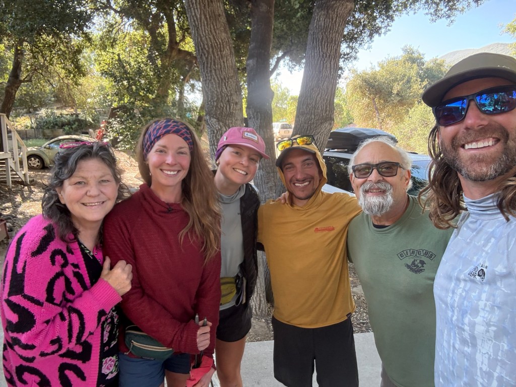
It was 4.5 miles to the lake and another 2.5 mile road walk to VVR. I was beat by the time I got to the lake. Already 4:30pm with dark clouds and booming thunder on my tail, I dreaded the road walk and was beginning to regret my decision. Was dinner and a free beer worth it? Lo and behold, I see a beautiful sight. Right there is a white pickup truck. David is standing with Adam, who apparently shuttles hikers back and forth from the trailhead. And just like that my hiking day is over! I was so happy.
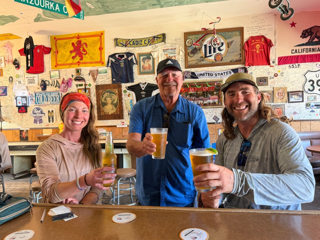
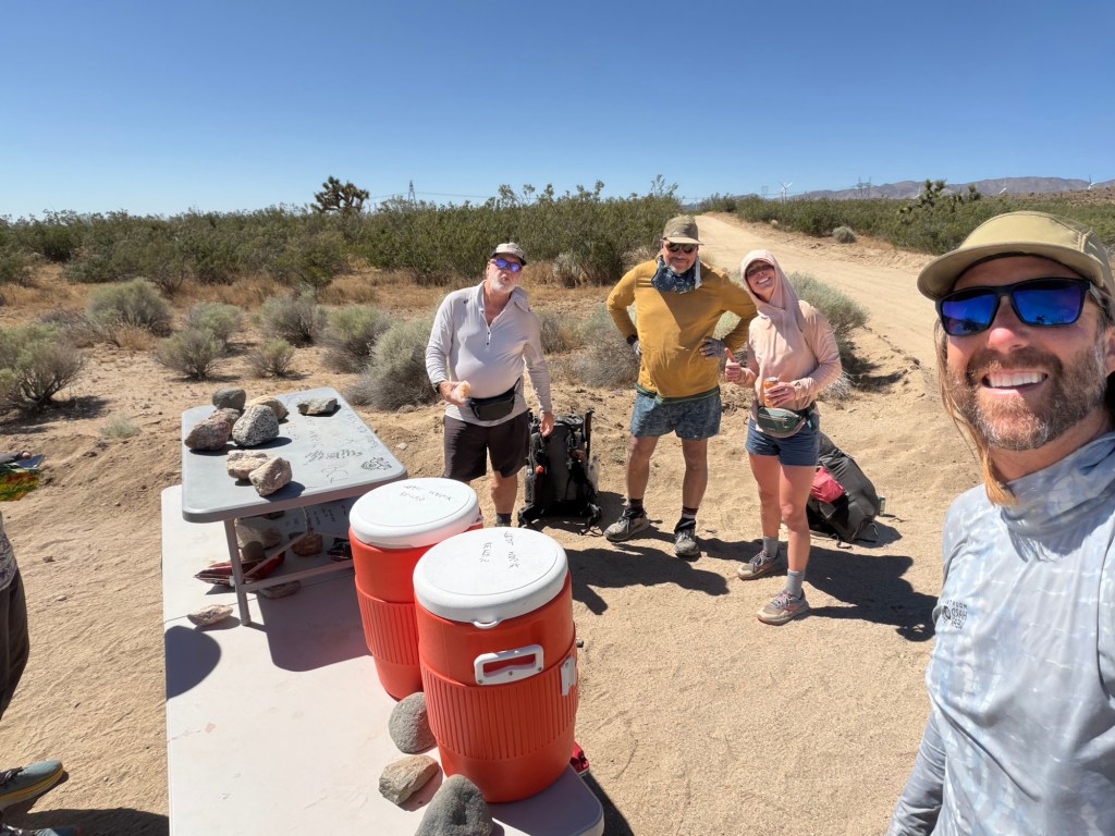
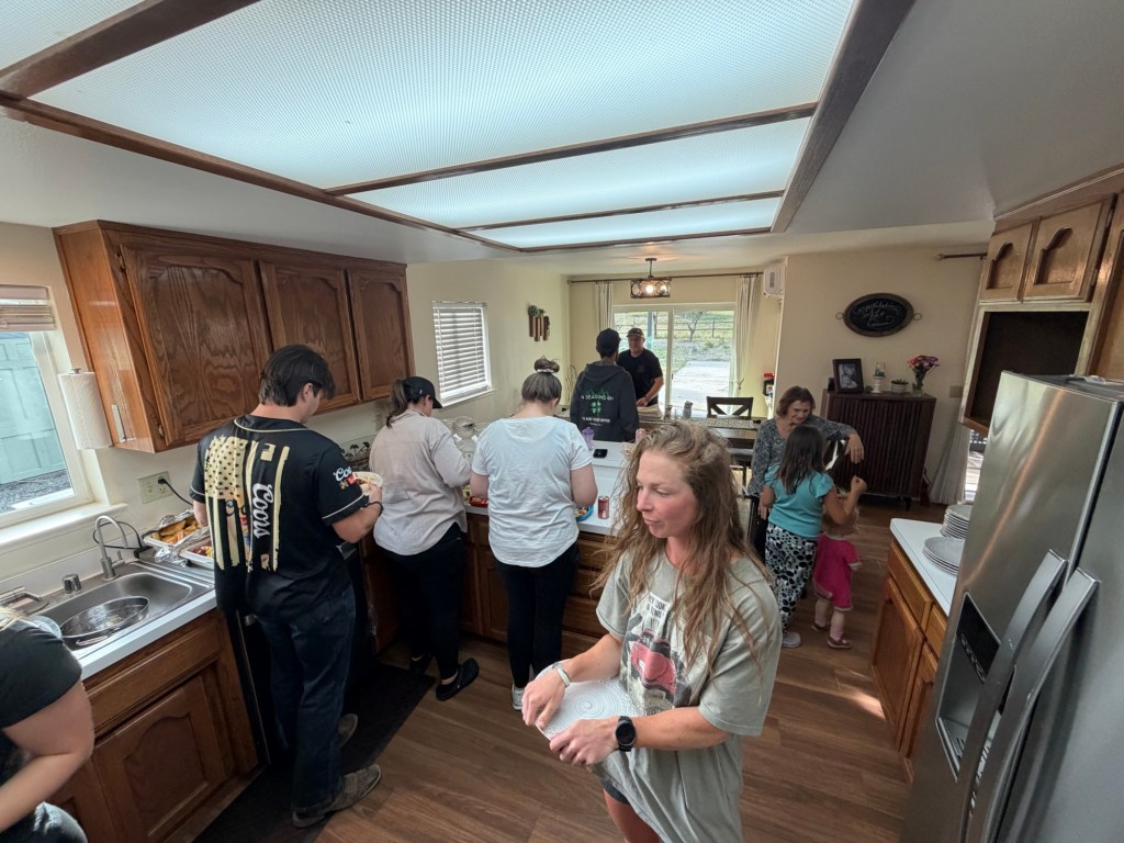
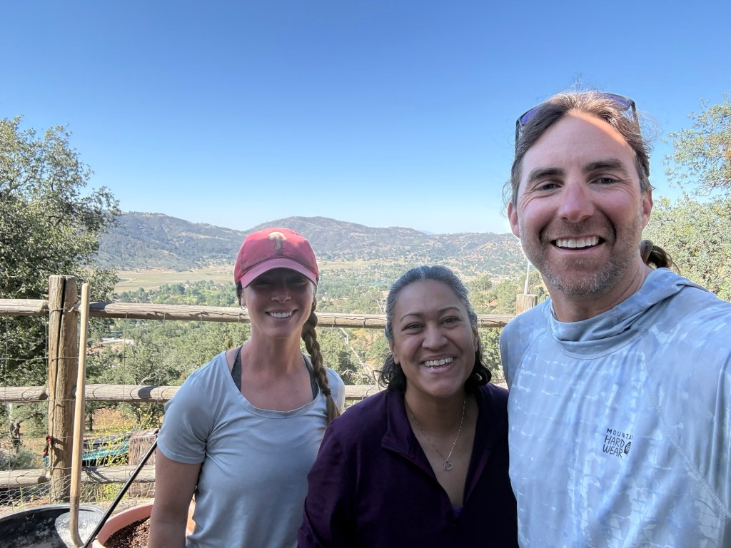
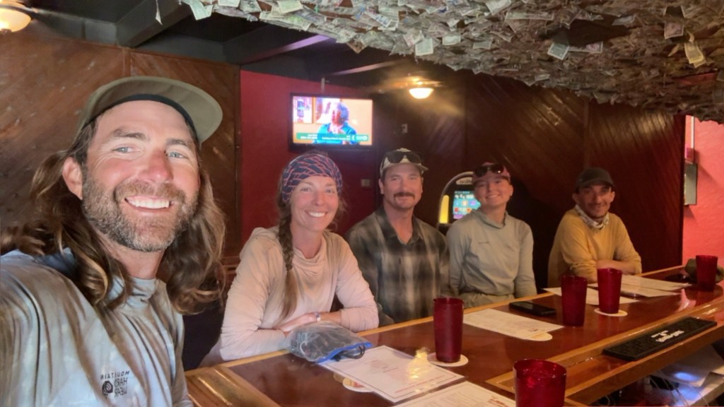
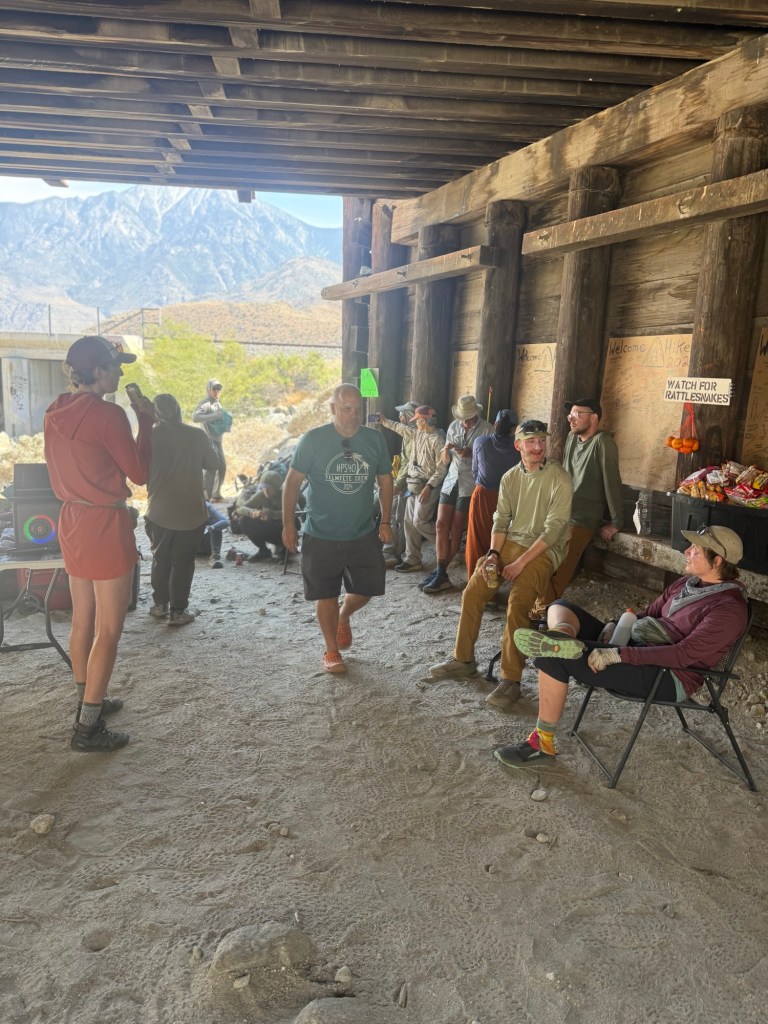
And even happier still to see VVR in person. It’s a bit small, but feels a lot like KMS. It’s very hiker friendly and has enough for a small resupply to Mammoth. We hung out with a lot of folks, including local ranchers. We had a huge spaghetti dinner that honestly I could’ve eaten 5 more plates of. Apparently there is a UFC fight happening on the White House lawn tonight which is garnishing a lot of attention here. Watching it was a bit surreal, I think I’d like to go back to the wilderness and remain out of touch with some of this dystopia.
Day 61: June 15; 7.4 miles + 11.3 bonus miles
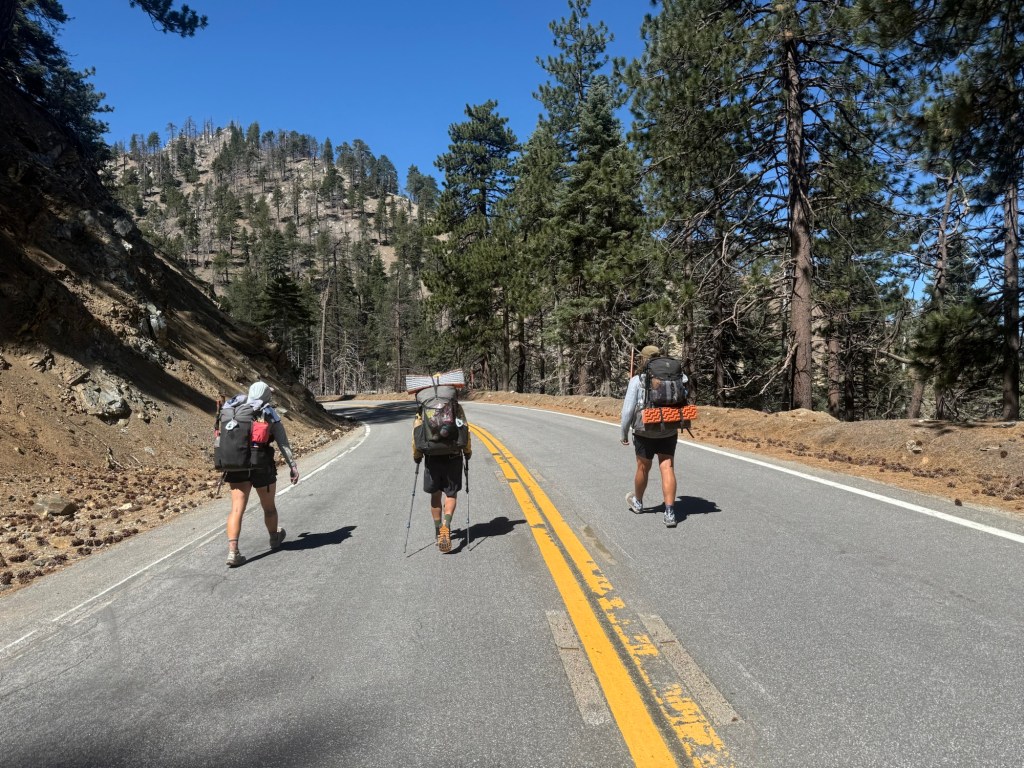
After a surprisingly decent sleep and a great breakfast, it was time to say goodbye to VVR. We headed out around 8am for the dreaded return back to trail. I say dreaded because it was a long trail with a lot of elevation gain. But all in all, it made more sense to go this way than from where we entered VVR. Think of the trails as a triangle. Maybe an acute one. Honestly, I don’t know much about geometry. My sophomore geometry class (honors, mind you) was so poorly behaved that the teacher quit and became a deacon. That should give some insight as to how much (or little) learning happened. Anyways, the bear ridge trail comes off of the PCT and takes you to VVR, the crux (?) of the triangle. Goodale Pass trail takes you north, cutting off several miles of the PCT. Having already hiked these miles, I didn’t mind skipping them to make for an easier escape. All in all, the VVR detour added 5 miles, worth it if you ask me.
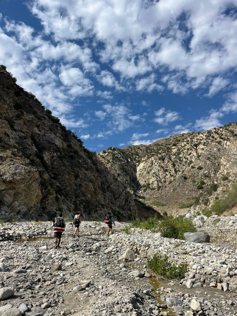
Let me tell you, Goodale was not at all good. The first 4 miles were through a poorly maintained burn scar, requiring frequent navigation over or around huge blowdowns. The next 5.5 miles were tedious, varying from extremely steep climbs to flat marsh walking. It felt like hiking back home. Eventually we made it to the pass, and right when we thought we were done with snow, we met right back up to it. For 1.6 miles it was just navigating through snow and rock. This was especially difficult because the descent was steep without boot pack and several risky drop off points.
But soon we met back up to the PCT. As Enigma put it, it was like coming back home. I was so elated to be back on trail. I really don’t like these off trail miles. After the Sierra it should be less frequent. I’m already warming up my hitching thumb in anticipation!
The rest of the trail is a blur. There were several lakes, notably Virginia and Purple. We’re camping at Purple Lake, swarmed by mosquitoes. They have truly become the bane of my existence.
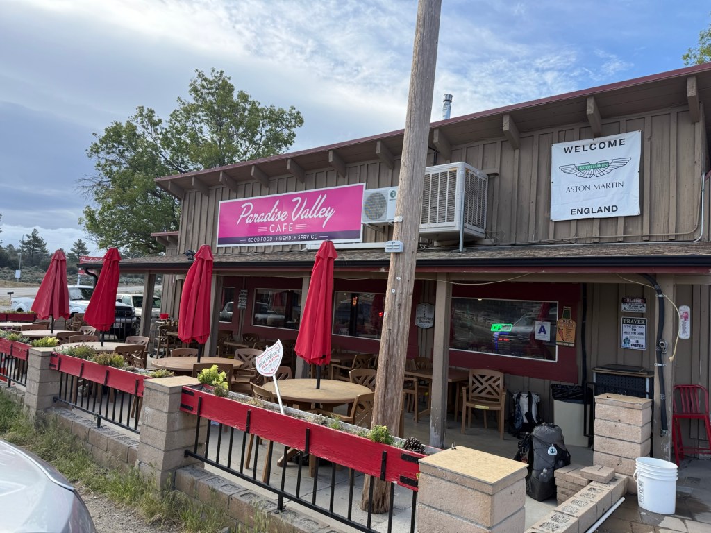
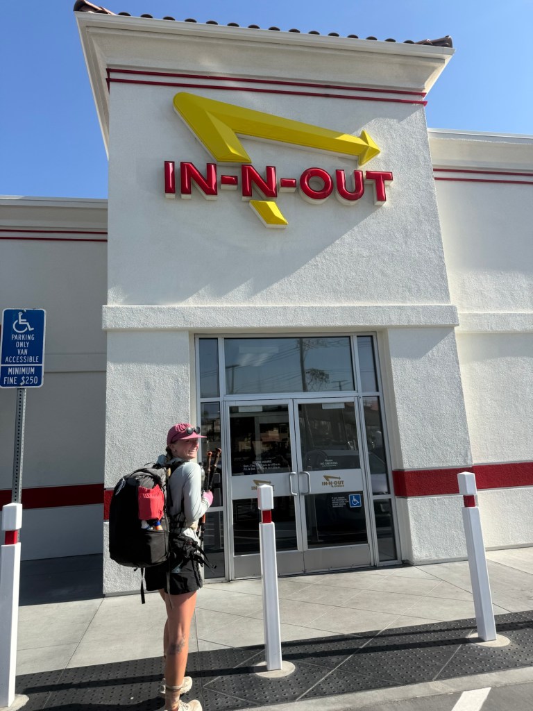
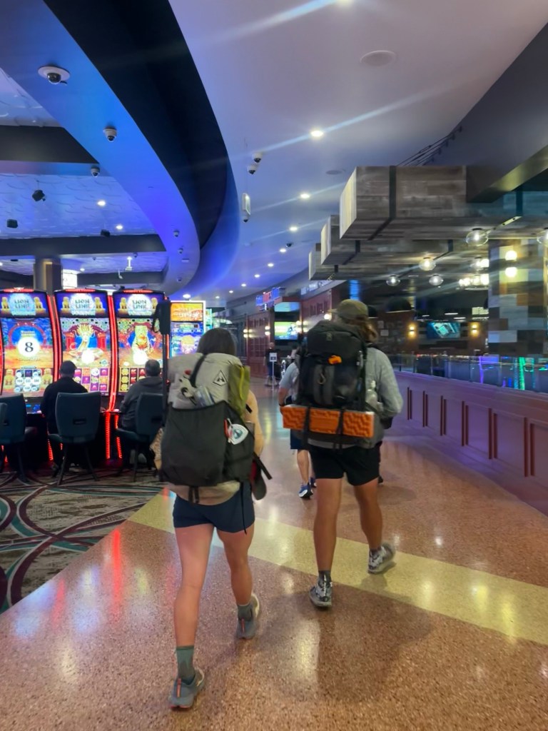
Tomorrow is town day! Even though VVR had great food and laundry, it’ll be so amazing to be back in town. It’s been almost a week since I’ve had a proper shower or had any service. Though I don’t especially miss it, I love being disconnected, it’ll be great to check in on family and friends and pets. It’s 10 miles to get to the junction to get into town, another 3.5 mile walk. Typically it’s more of a straight shot from Red’s Meadow Campground, where a shuttle takes you to Mammoth. Unfortunately, Reds isn’t open yet, forcing us to take this longer detour. Just more bonus miles!
Day 62: June 16;
One good thing about the exhausting days out here is that I sleep well. Extremely well. I’ve never slept as well in my tent as I have the past week. I blame all the snow and elevation gain (we’re literally climbing well over 5000’ daily). I’ll take the positives where I can get them! I woke up briefly and looked at the stars. They were gorgeous and I wanted to look longer, but I couldn’t keep my eyes open and it was back to snore city.
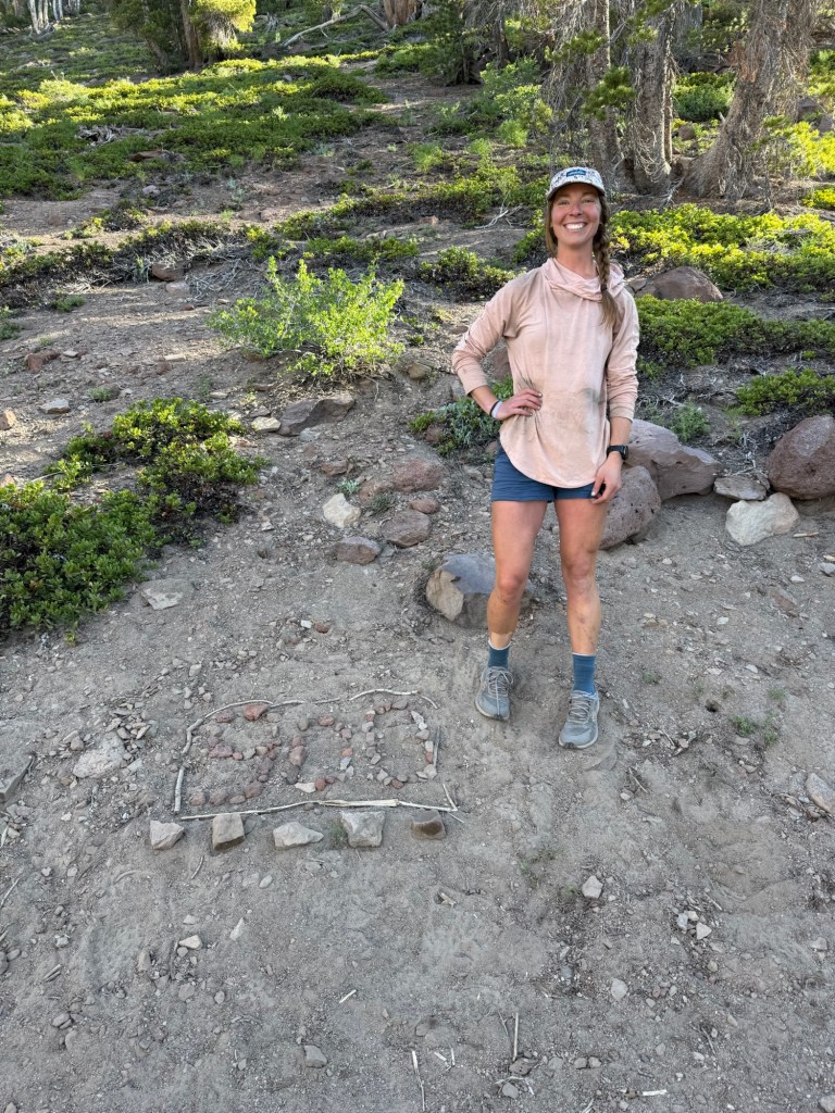
2 months on the trail! How crazy. It has gone by so quickly but also so slowly at the same time. Some of it is a blur, other moments replay constantly. And to have so much left in this journey!
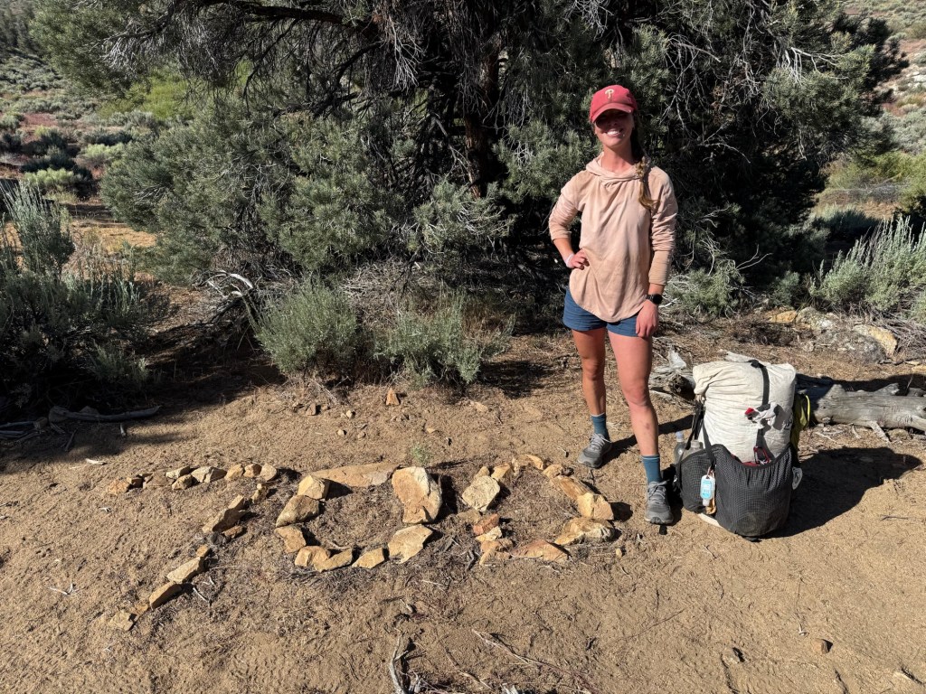
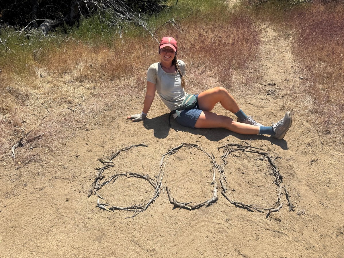
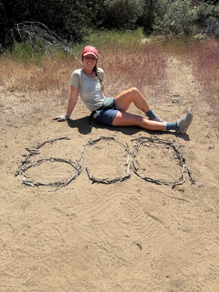
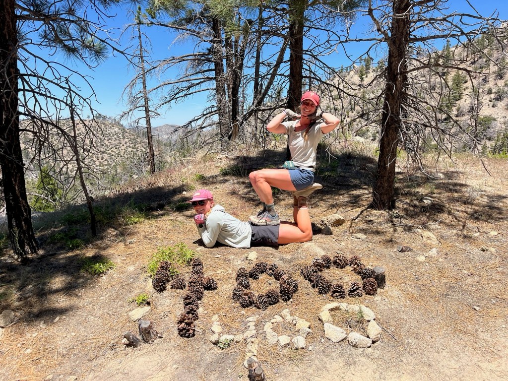
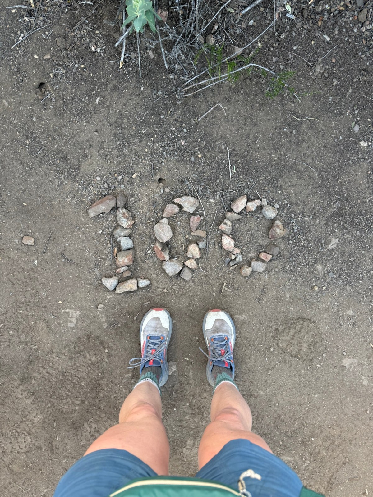
Hit 900 miles, the past 100 have felt so quick. Probably because they have been. Hiking 20+ mile days out here adds up pretty quickly!