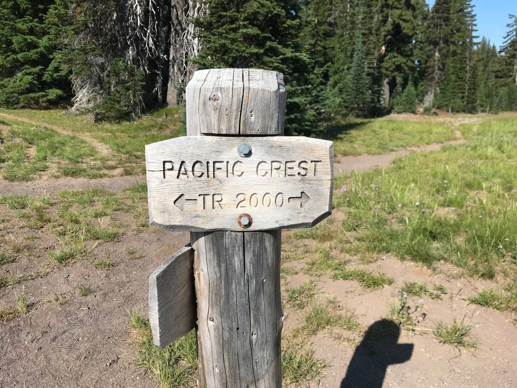
The PCT
Well, the time has come. Maybe it’s a little earlier than I anticipated, but I truly cannot think of a better year to embark on my most ambitious adventure yet – the coveted Pacific Crest Trail. 2650 miles over all different kinds of terrain traveling north from Mexico to Canada. Sounds intimidating and an adventure I never really thought I’d even attempt to accomplish, but like all things I set out to do, why not?
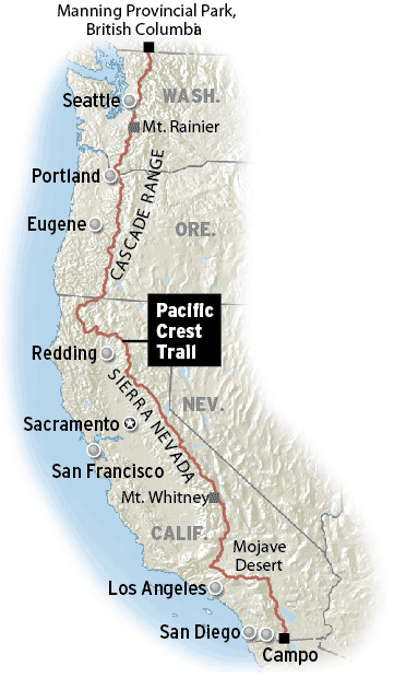
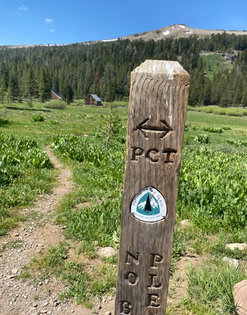
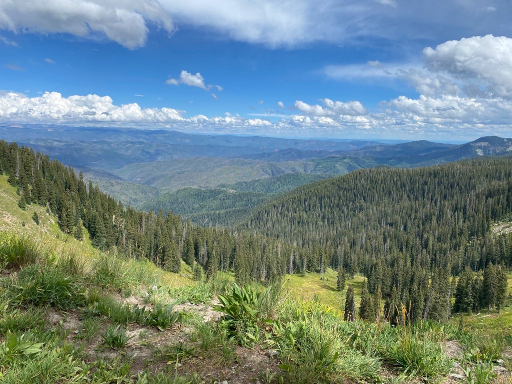
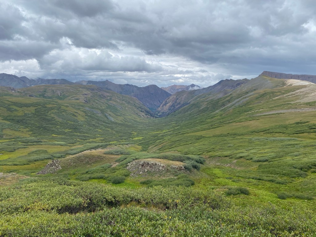
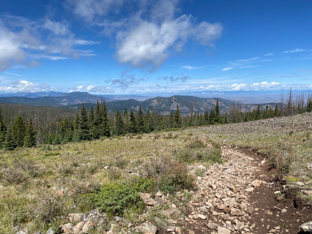
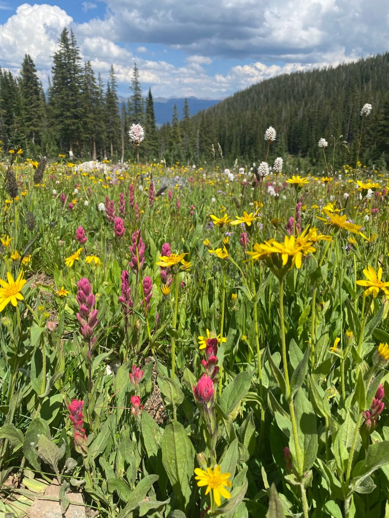
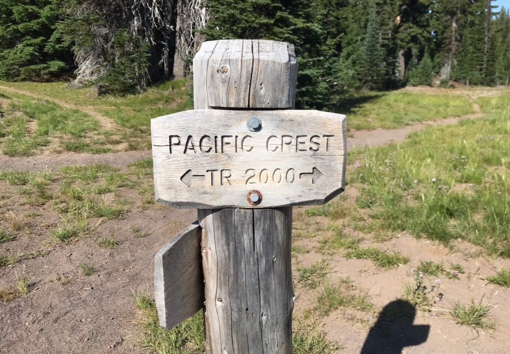
the Pacific Crest Trail (PCT for short for my fingers’ sake) is a continuous footpath from Mexico traveling through California, Oregon, and Washington with a northern terminus of Canada. While not main stream in popularity (like it’s eastern brother The Appalachian Trail) it certainly gained recognition from Reese Witherspoon’s portrayal of Cheryl Strayed in “Wild” (I have very strong opinions on this, as a woman who frequently hikes solo, but I’ll keep them to myself) and only gained popularity with COVID shut downs initiating a surge of outdoor enthusiasm. The trail, whose thought was initially conceived exactly 100 years ago, was completed in 1993. Its hardened miles attract thousands of hikers from around the world with its vast views of the California desert, the breathtaking eastern Sierras, Oregon’s rich bounty, and Washington’s tough Cascades, yielding to the almighty Canadian goal.
Why?
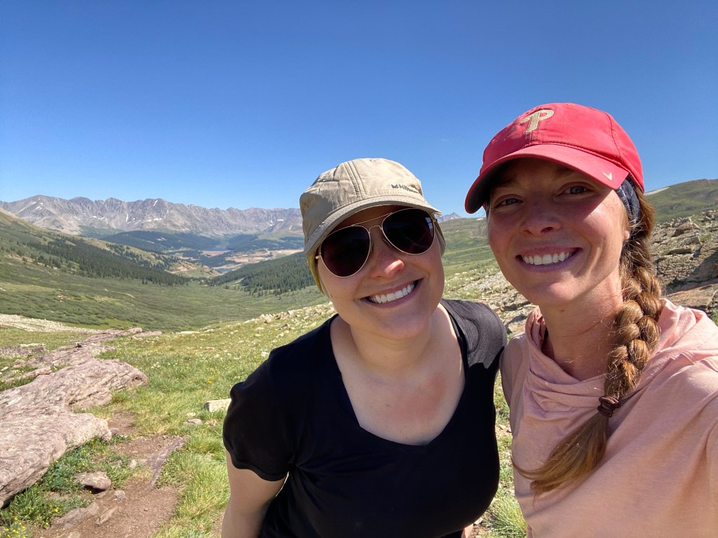
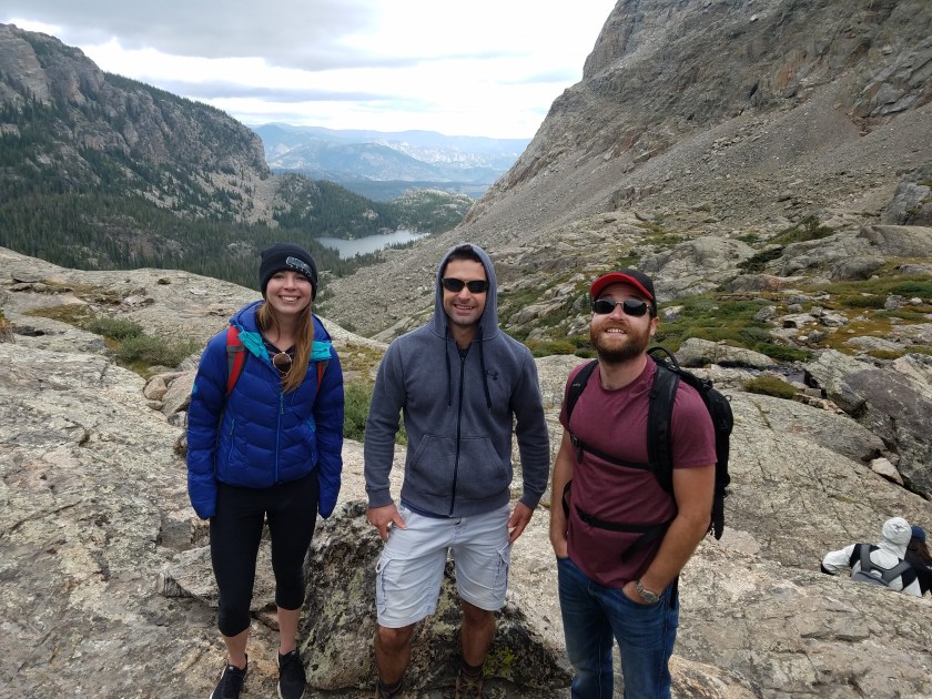
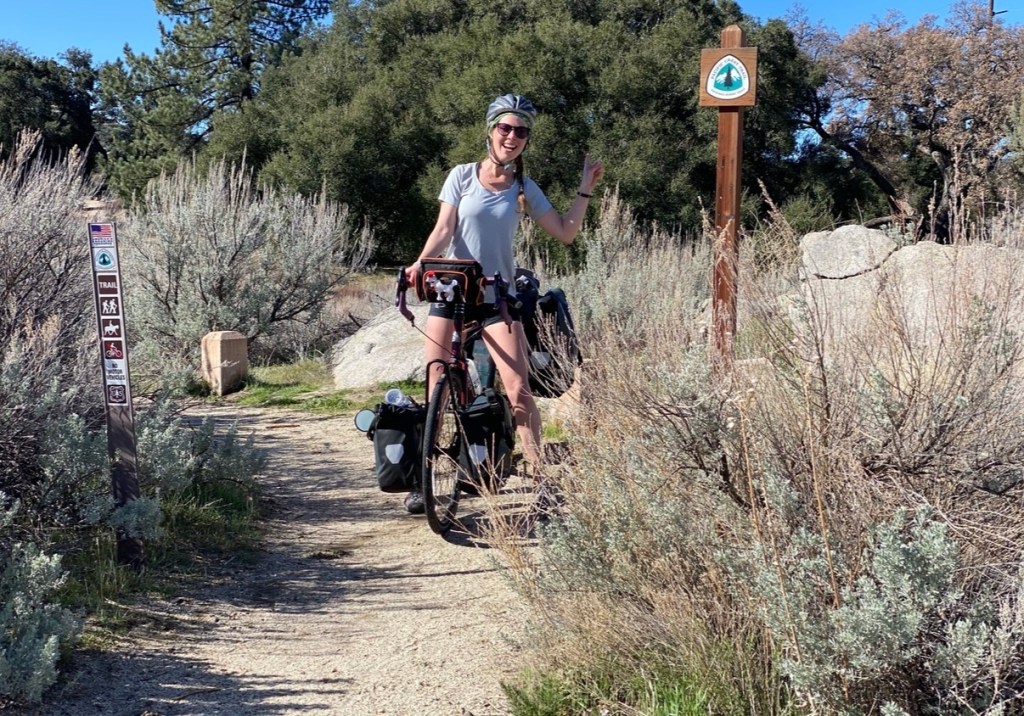
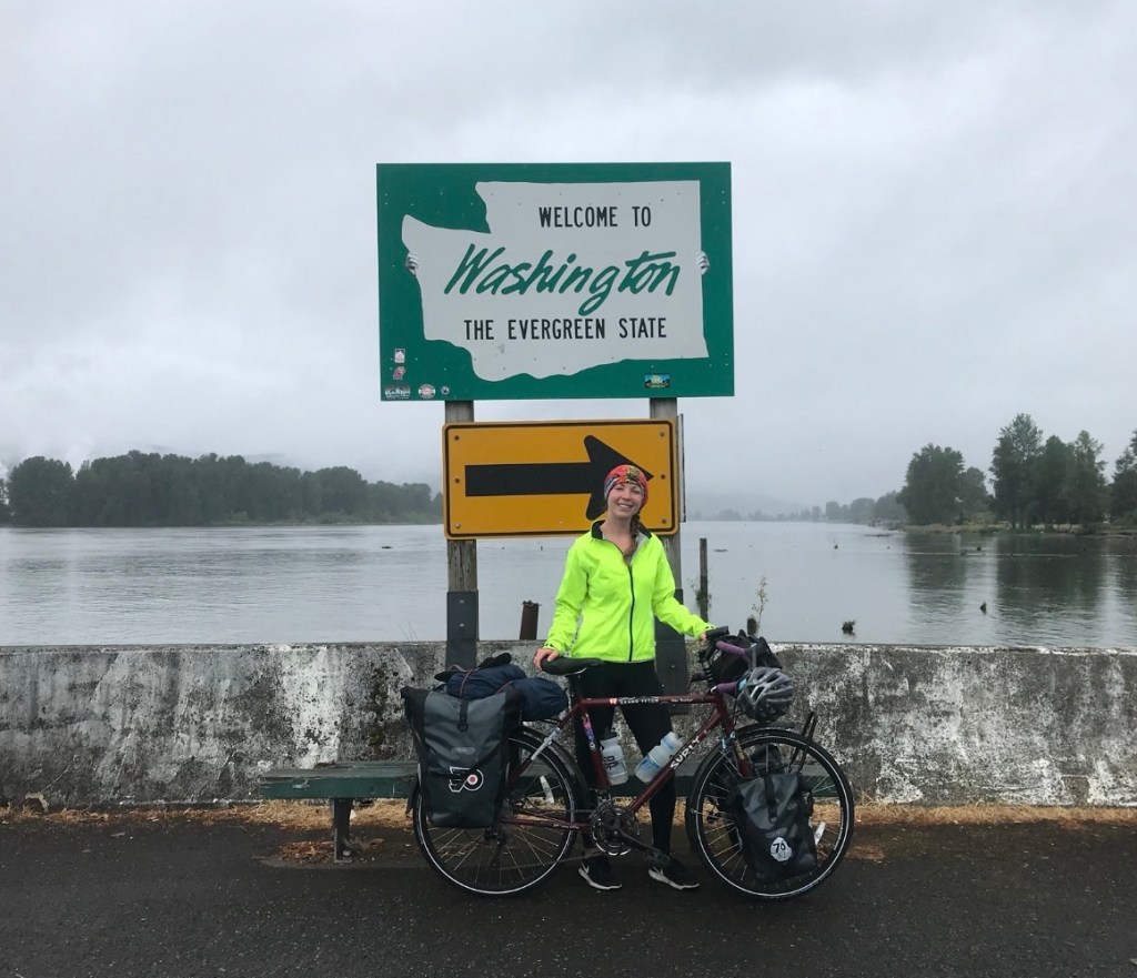
So why would someone want to spend months on end in the wilderness tackling thousands of miles alone? Well, add it to my list. Having traveled from Canda to Mexico by bike, isn’t this just the next logical step?? The seed was actually planted during my John Muir Trial excursion in 2018, but it didn’t really bloom until I passed a PCT sign riding from San Diego to St. Augustine along the Southern Tier Bike Route in 2021. Only 40 miles from the Mexico border, I ordered my dear travel companion Sheena to halt immediately, for I needed a picture with this sign! After departure, I looked back at that sign with a promise to it (and unknowingly at the time – to me), that I’d be back to see it. I didn’t realize that it would only be 5 years from then! But no time like the present, especially when I have relative youth on my side.
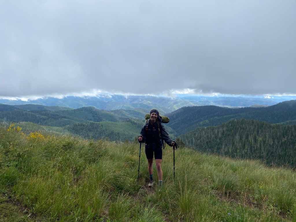
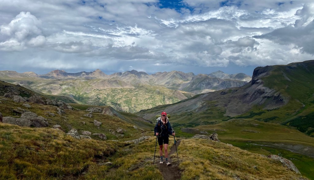
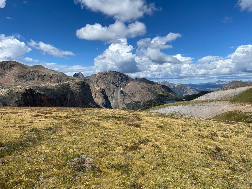
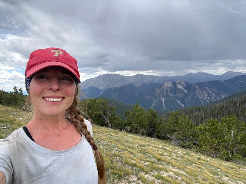
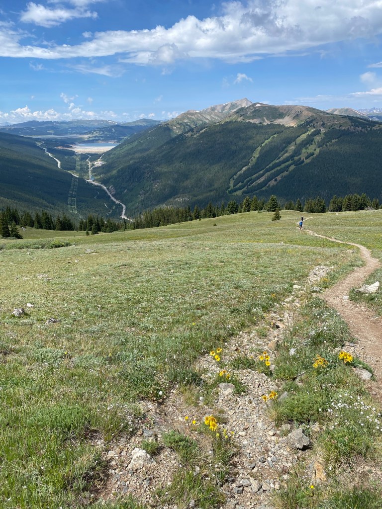
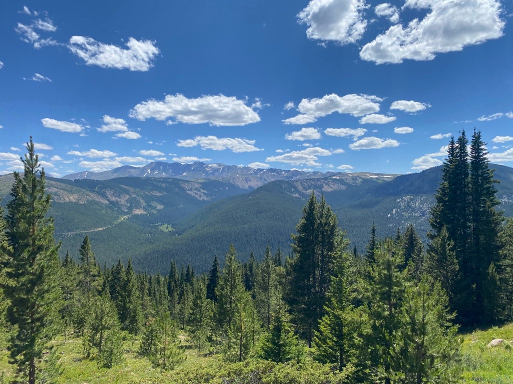
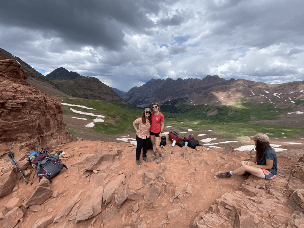
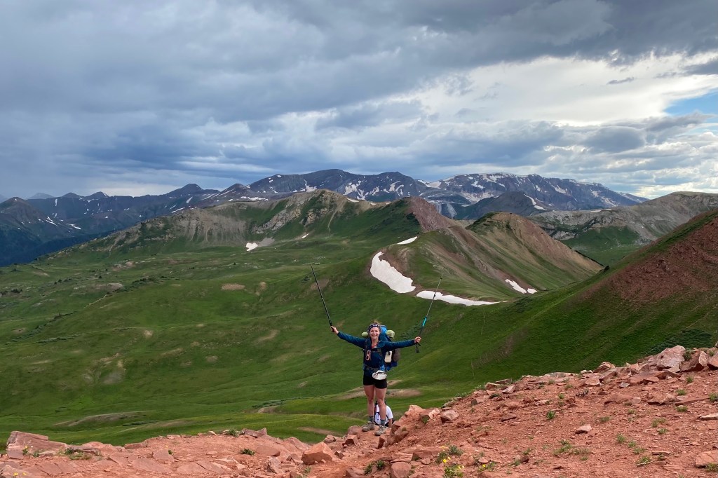
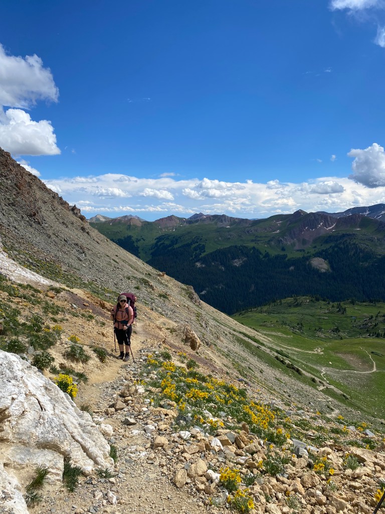
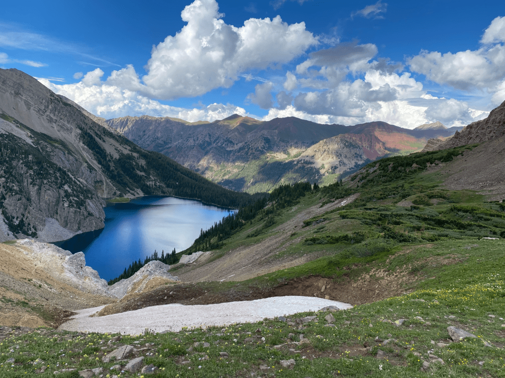
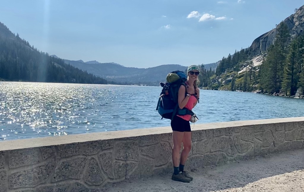
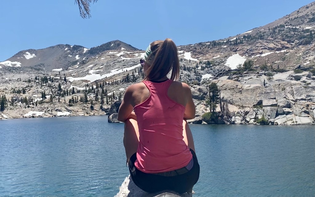
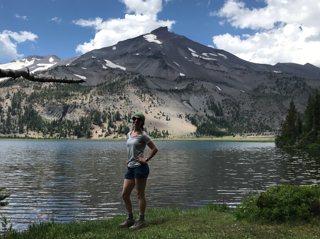
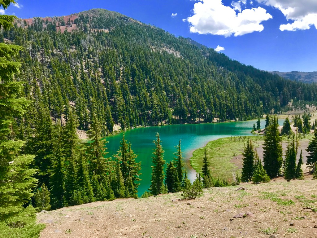
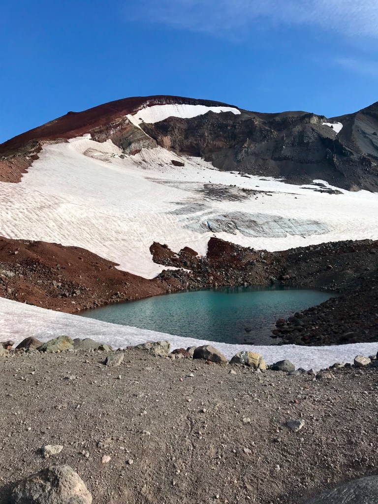
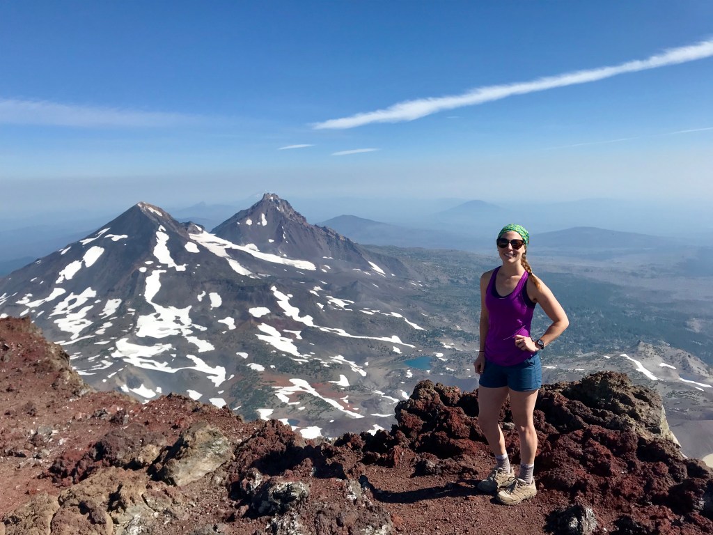
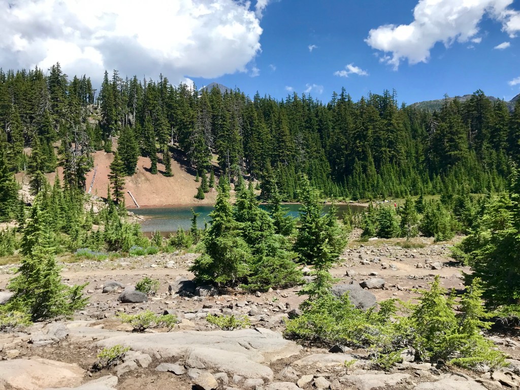
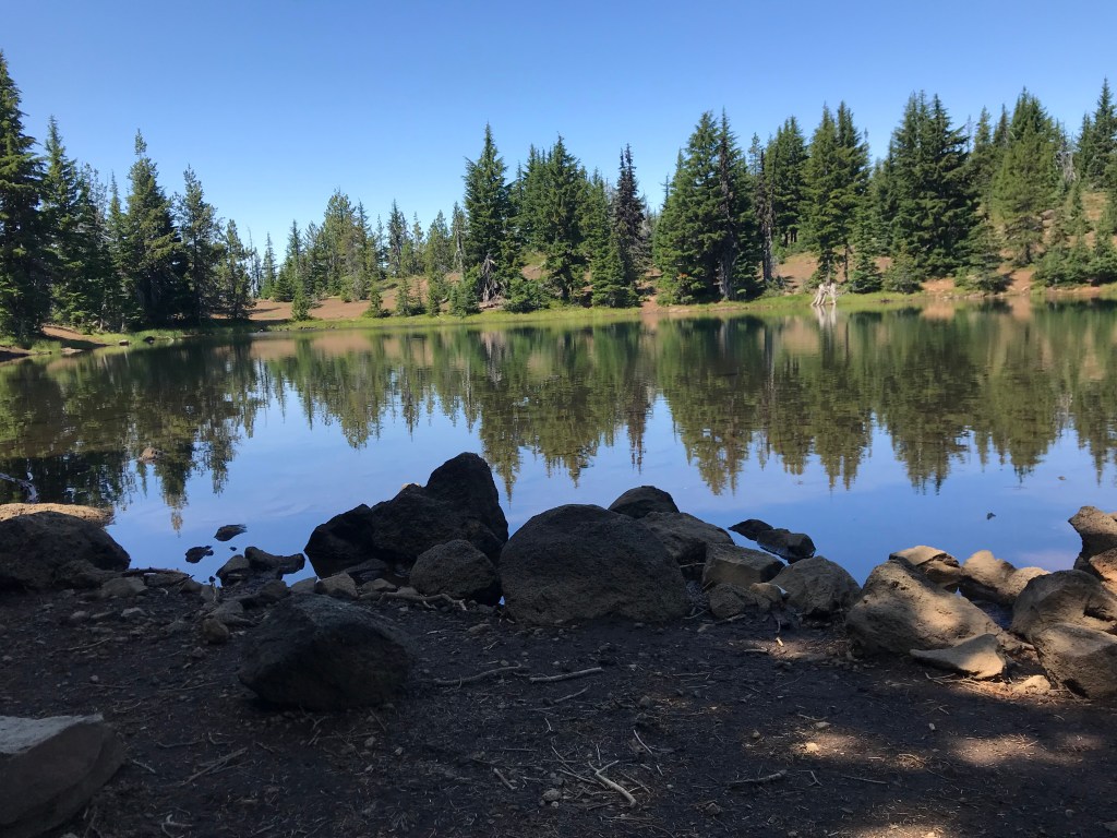
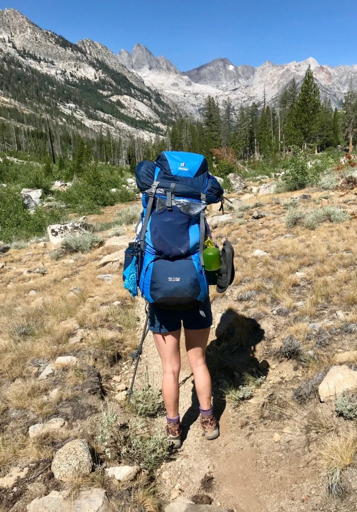
Between some of my other travels, I have already hiked roughly 14% of the PCT. I have experienced some of what it has to offer and I can’t wait to go out there and see the rest of it! The Sierras are some of the most beautiful mountains you can explore, and I’m happy to return and experience them in such a different way.
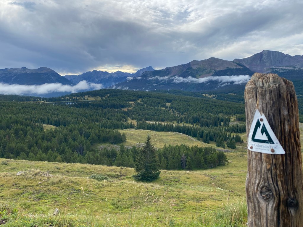
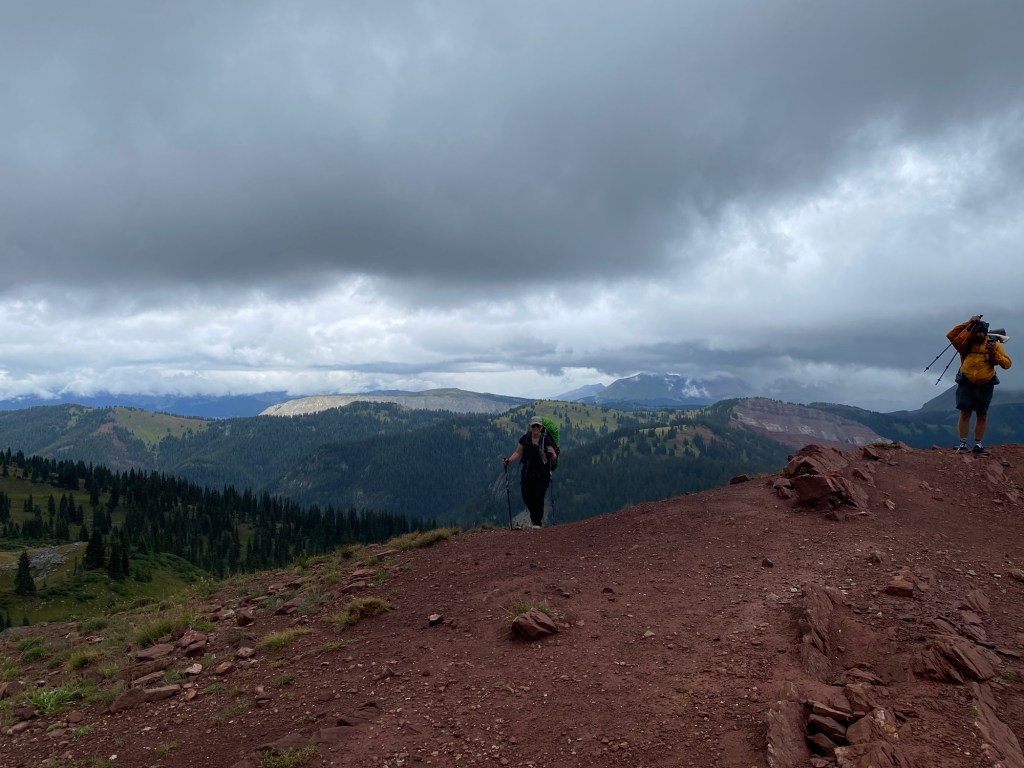
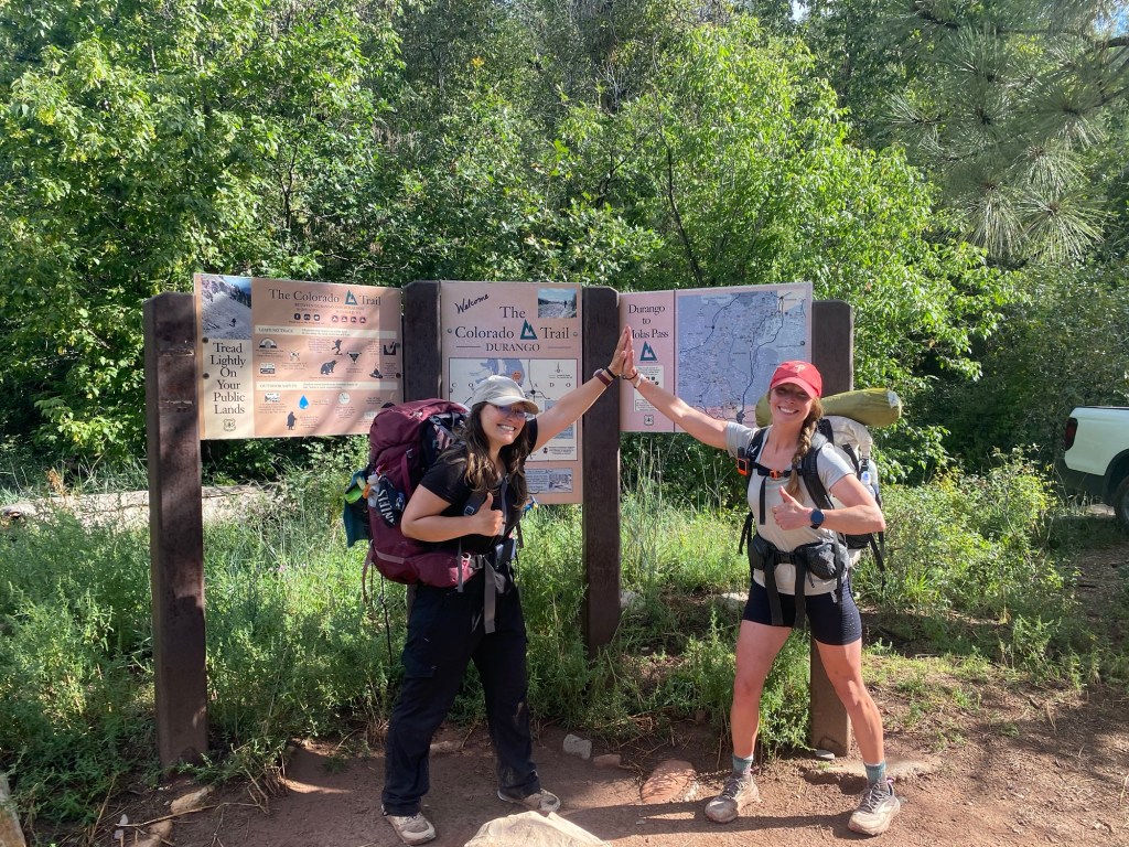
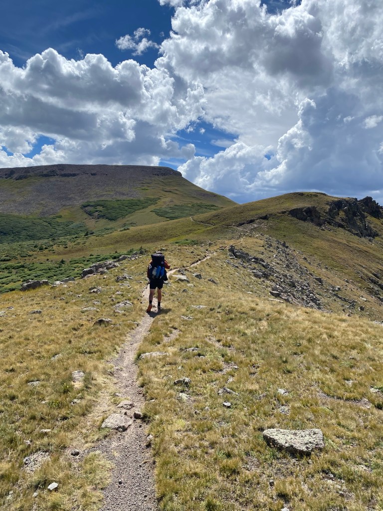
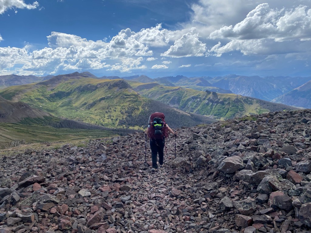
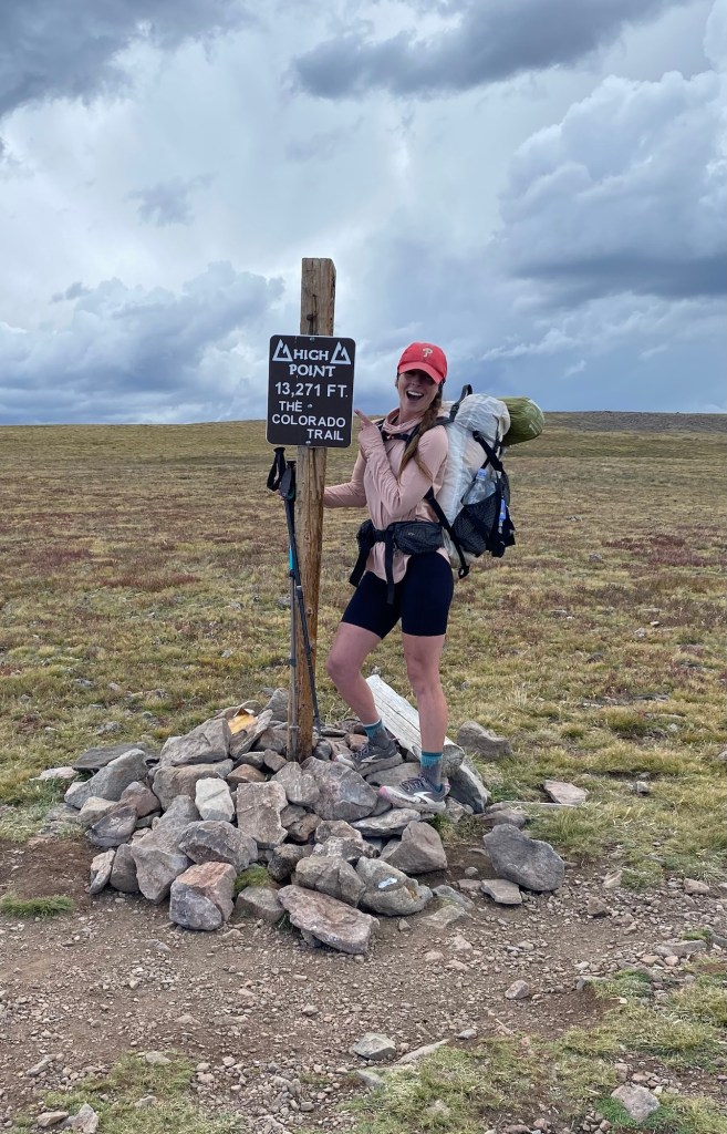
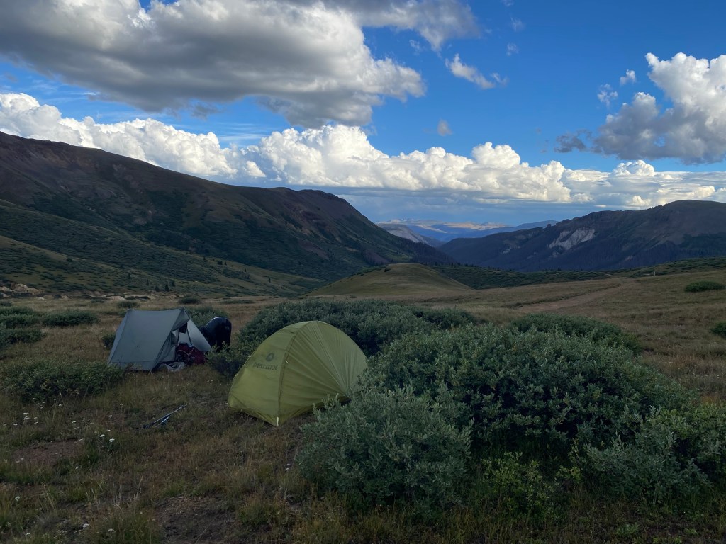
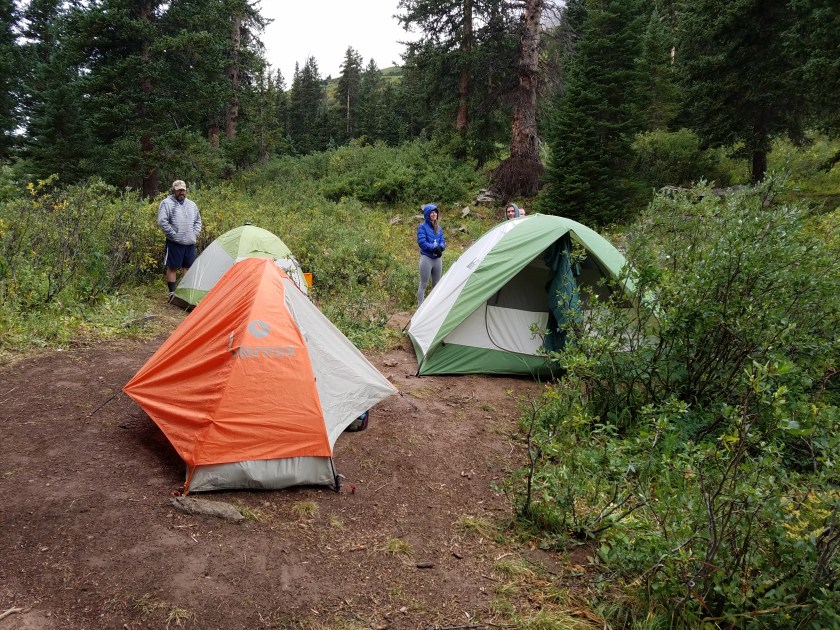
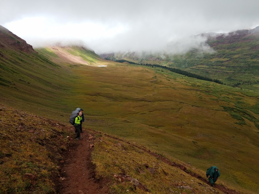
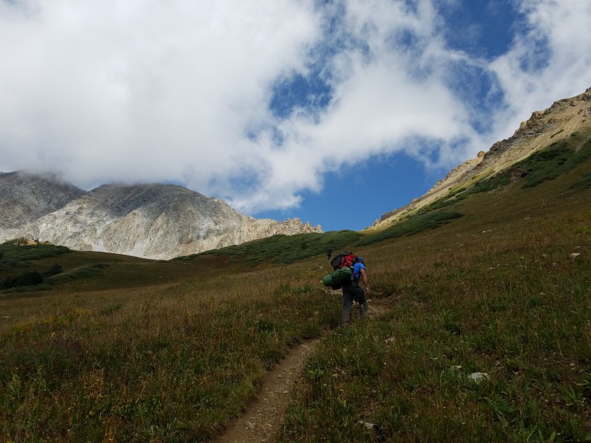
It’s difficult to put into words how backpacking makes you feel and the impression it places on you, like an invisible tattoo meant for your eyes only. Only those who have gone out there, with all they could possibly need to survive strapped to their back, can understand the pure elation and impact of thru-hiking. With two years coming since the end of my Colorado Trail experience, I haven’t spent one day without it popping into my head. Sure, all the bad memories have faded to, “oh – that day wasn’t THAT bad” or “wow, that was actually the most memorable part of the trip” or “lightning storms totally exposed at 10,000′ is actually invigorating”. So naturally I’m itching to get back out there again to experience all the Type II fun a trail has to offer. It’s amazing what your body can do if you just give it the chance to prove itself. Mile after mile, day after day with limited sleep and calories and yet the body keeps going. It’s often the mind that will throw in the towel first.
Barriers to Success
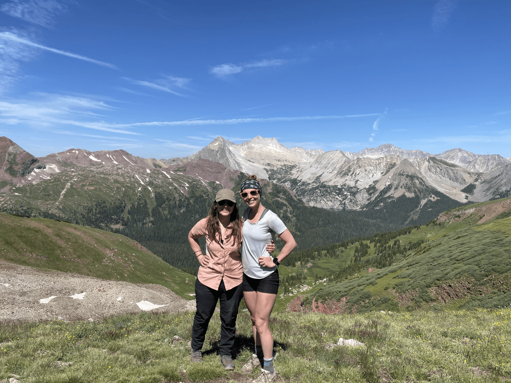
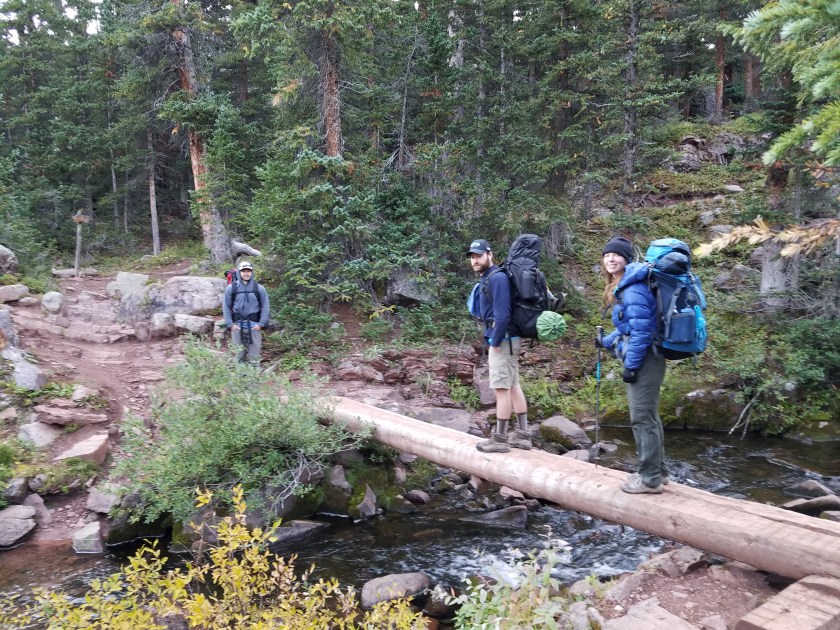
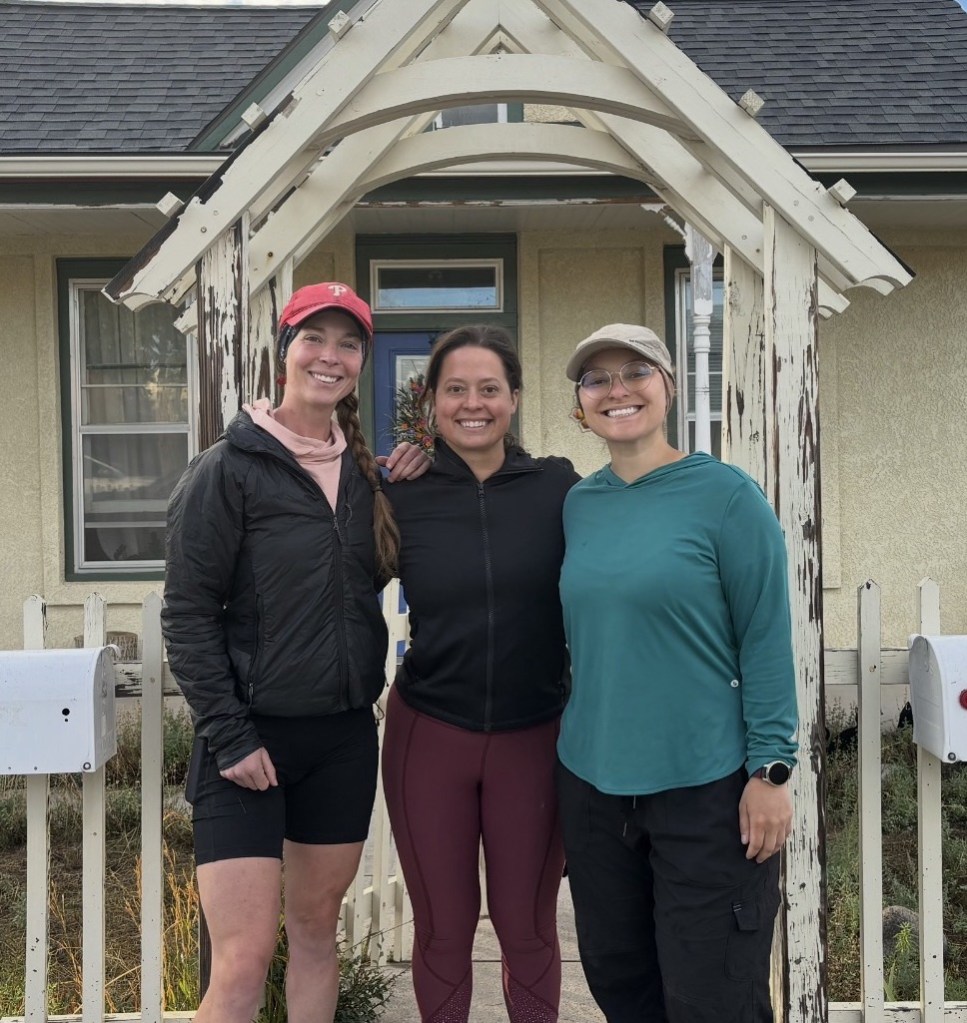
And that is just about my biggest fear setting out for a trip of this caliber. I’m doing it alone. Sheena (my dearest adventure companion) won’t be joining me, so I won’t have my most trusted person there with me to help make major decisions or just laugh along during the good (and more importantly horrible) times. Though it is a very popular trail, I doubt I’ll truly ever be alone. People meet lifelong friends on the trail, sharing one not so common denominator – being crazy enough to even attempt a 2650 mile trail. While I’m sure I’ll be fortunate enough to make such connections, sometimes the unfortunate truth is these connections can also turn toxic. I’m not ignorant of the fact that these trails bring out the best and worst in people. Latching on to someone might mean pulling you up a mountain, or be the chain that drags you down and off the trail. Making difficult decisions to disengage fellow hikers who I likely will continue to encounter throughout the trail may be necessary. But enough of the negative talk – I’m sure whoever I run into will be delightful and only enhance the experience. But still, I wish Sheena was coming along.
Along with mental fatigue, I have no doubt I will have physical pains as well. As the old saying goes (okay, it’s my own original saying, but it’s old enough for me), “you’re hiking nonstop with a 30 pound pack, of course it’s going to hurt! Suck it up buttercup, it’s all temporary”. And ain’t that the truth. I know my body isn’t what it was 10 years ago as I departed for the transamerica bike route (holy cow how was that TEN YEARS AGO!?). I have aching bunions. I have tendons that don’t bounce back like they used to. I have random pains that come and go. But know what else I got? A body that I know is capable of handling whatever is thrown its way. I’m not expecting this to be a walk in the park by any stretch of the imagination, but I also know what my body can do. I know it rises to the challenge. It’s one of my favorite things about hiking – seeing and feeling how my body adapts to the challenges I force upon it. Even after years of training in a gym, I never feel as strong as I do coming off a hike or bike tour.
Along with the physical pains, I am also terrified to get sick in the middle of nowhere. During the Colorado Trail, I had firsthand experience of just how unbelievably horrific being sick on trail is. Thankfully during this experience in which I was cursed by the stomach bug gods to expel all that was within me, I had Sheena to help get me through the 8 miles to Salida. What was even more kismet was having respite at my cousin’s home to pay the 48 hours penance the gods required. I don’t think I’ll be as lucky on the PCT. First – I don’t have Sheena, second – I doubt getting off trail will be as easy as an 8 mile hike, third – though I have a million cousins, none are along the PCT. And if anything, this winter has proven I am a magnet for illness and I have the immune system of a Victorian-era child. After getting through COVID, the flu, and bronchitis from November to December, I truly hope I have paid my sick dues, but it may be an unpayable debt.
Gear
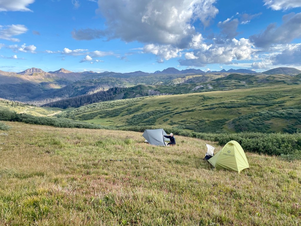
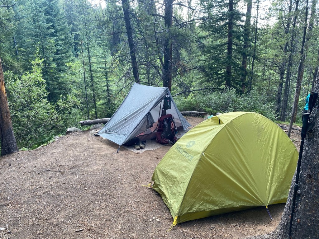
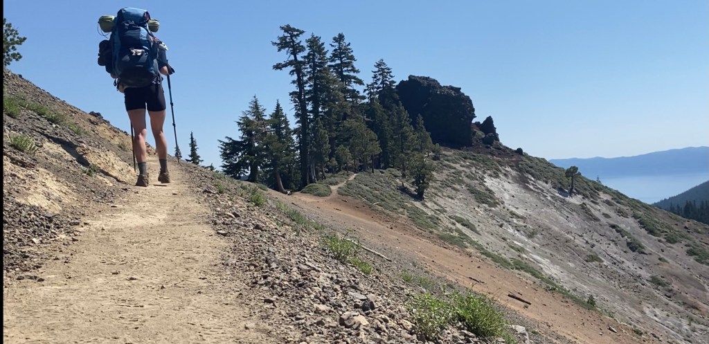
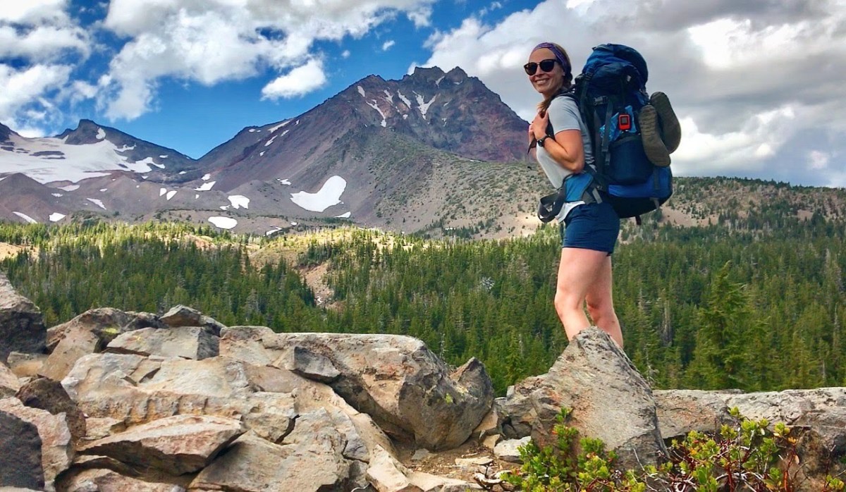
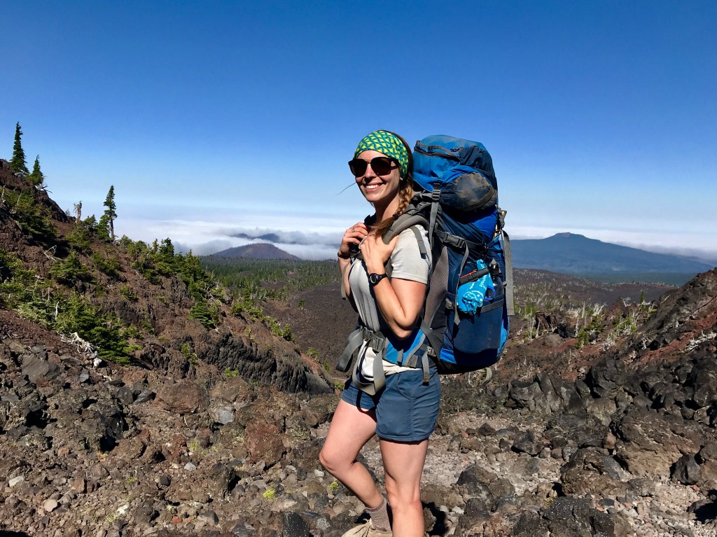
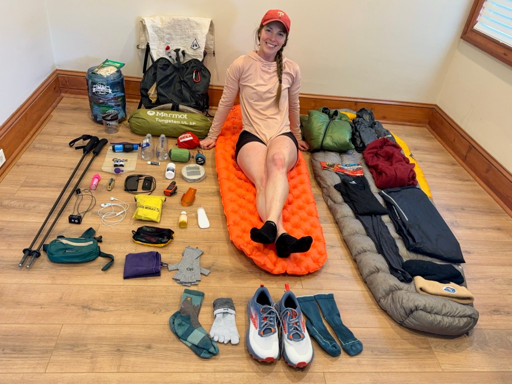
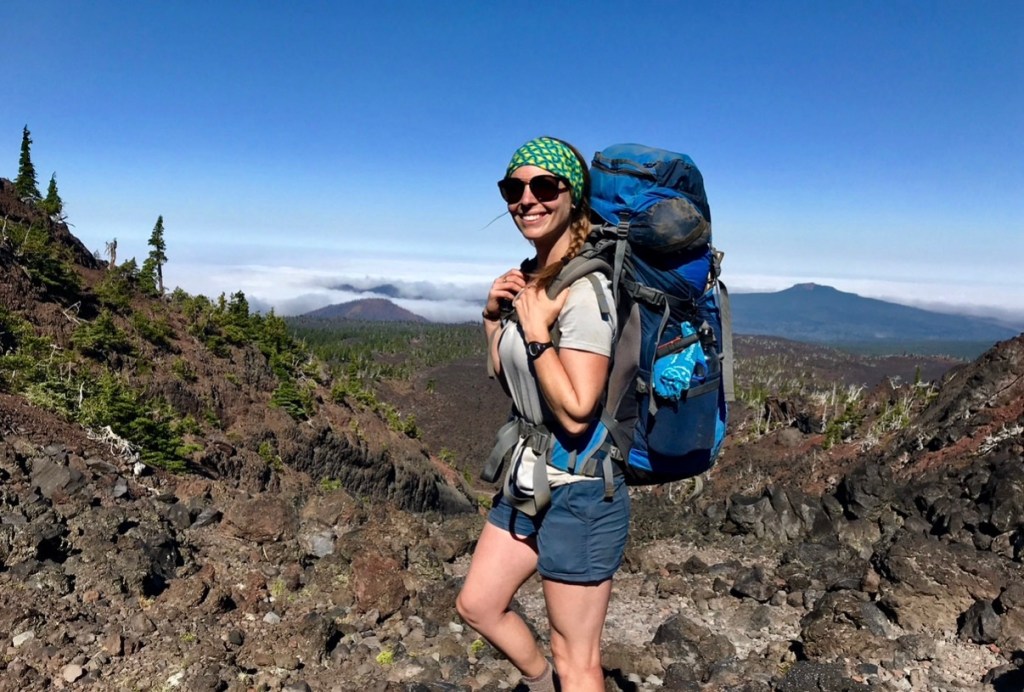
I haven’t changed much of my gear from the Colorado Trail. I’m sticking with my sleep system and keeping the good ol’ hyperlite pack, Minnie. Big Booty Judy is officially retired. After hauling her 45lb self for years, my body needs a break. I’m still not sure how I managed it. After one trip with Minnie, I knew it was time to move on.
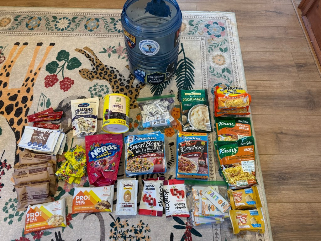
I’ll still be cold soaking meals, so I don’t have to worry about a stove and all that comes along with it. I may change my mind in the Sierras when I’m chilled to the bone and a cup of cold ramen just doesn’t hit like it did in the desert. The good thing is there are gear stores littered along the entire trail, anything I need I’ll be able to pick up along the way.
Personally, one of the things about backpacking I hate the most is packing up camp in the morning – namely stuffing that dang sleeping bag into its tiny little compression sack. It infuriates me in a way that is not reasonable or easily explainable. Just know, it ticks me off. I have finally decided to take the leap and do what everyone else does – just stuff it in a darn stuff sack with everything else and call it a day. I have always been against this. My father raised me to be meticulous with camping gear and make sure everything is put away just so. Plus compressing the sleeping bag to as small as possible saves space in your pack! But saving my mental health I think is a little more important. And thus, I will be putting all my sleep system (minus tent) into a waterproof bag all willy nilly praying for the best. This will save me 2 min during camp breakdown and probably 2 gazillion mental breakdowns.
But other than that, everything is basically the same. Don’t have to reinvent the wheel when the wheel you got runs relatively smoothly. I did trade in some small things for lighter weight things and will have extra warm things because I’m terrified of being cold. I’m packing 2 pairs of gloves and down booties. I also will be packing extra warm clothes that an ultralight (UL) backpacker I’m sure will scoff at during some point of the hike. Scoff all you want, buddy! My tootsies will be nice and toasty in these booties!
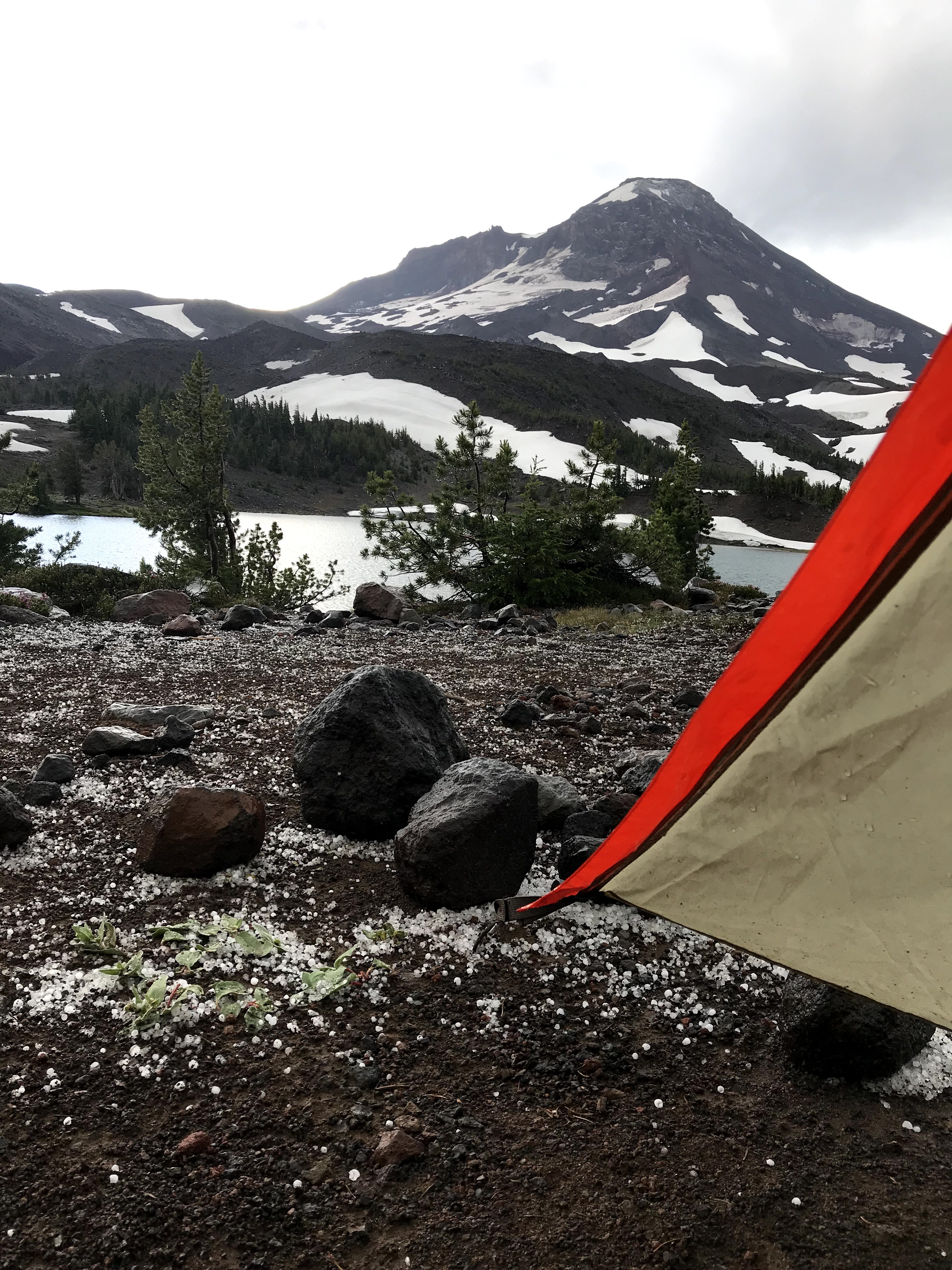
Speaking of cold, there are a few spots where ice and snow are of concern. Mainly the San Jacinto mountains and the Sierras. Considering I’ll be hitting the San Jacintos early in the trek (approximately 2 weeks in), I want to be prepared for the snow conditions. I will have microspikes with me from the start (sorry UL bros!) and may get an ice axe just prior to entering this region depending on the snow. More than one hiker has perished from not taking these precautions seriously, and the last thing I want is to be another name on that list. The Fowler O’Sullivan Foundation, Fowler-O’Sullivan Foundation – Assisting Families of Missing Hikers, is a wonderful organization that helps families of missing hikers as well as provide hikers with discounted snow equipment to prevent money being a deterrent for using potentially life saving gear. Their story is a sad one, but it’s inspiring how they turned tragedy into helping others.
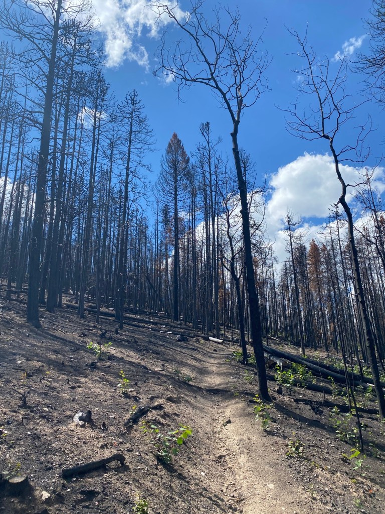
**Currently (3/21) California is in an unexpected “heat dome” in which much of the snow I will encounter in the desert has already melted. I may save a pound of weight by leaving the microspikes at home. Fabulous! Though this heat dome has caused a bundle of other issues. Water is now a scarce resource in the desert as many of the streams have already dried up. The already low snowpack in the Sierra has started to melt, making crossing them in June likely manageable, but again, water sources may be scarce, requiring long water carries. Low water also means higher risk for wild fire. Will this be a repeat of 2018 JMT in which my last few days were cut short because of a wildfire? I sure hope not, but like anything else, humans were built to adapt, and so, I shall adapt to whatever challenges I may face out there**
Oh! And I’ll be sporting some new fancy ultralight trekking poles! Maybe that’ll distract the UL bros from my booties. I entered a contest in a Facebook group (I have so far won THREE things from these groups, luck may be on my side) and won Ruta Locura Yana Trekking poles. They seriously weigh nothing. Which is a bit concerning, mainly because I feel like I could bend them with just a little pressure. But according to reviews, they’re the best money can buy and are super reliable and durable.
Training
I hate to admit it, but I have not been training for the PCT like I had been for the Colorado Trail. It’s been a rather tough winter here on the East coast. After just getting over one storm that dumped ice and snow (I had forgotten what grass looked like with 4 weeks of it being covered) we experienced a blizzard of 24”. I think the Sierras could’ve used this, not us! I have been using a 20lb weighted vest at the gym on the stair master and the treadmill. After a few weeks of that, 20lb feels like nothing and I feel more confident that at least my tendons and ligaments will be primed and ready to go. It’s also acclimating me for the stench of not showering for days on end. Doing an hour on the Stairmaster with that thing on turns me into a sweat factory. I can’t exactly throw it in the wash, so the thing has turned into a disgusting smelly creature that no amount of Febreze or vinegar can touch. I’m embarrassed even whipping it out at the gym, but it has to happen, sorry folks!
I’m trying to get in a good stretching routine to make sure my hips are at least a little more flexible. Notoriously, the first 2 weeks on trail is when you get the most “training” in… start easy with low mileage days and soon your body will adapt and be ready for bigger mileage days. Conversely, the first 2 weeks on trail are also when most people drop out from injury. The last thing I want to do is have to stop (even for a couple of days) to nurse an injury. Time is money out there, and any delay must be made up on the back end. I would love a smooth journey, but I know that is impossible when talking about a 2650 mile journey. If I can mitigate the risk of injury to decrease the chances of one affecting me, I’ll certainly do just that.
These types of trails are notorious for being effective at major weight loss. At only 5 weeks on the Colorado Trail, I lost 12 pounds – nearly 12% of my body weight. I cannot afford to lose this amount of weight consistently on the PCT. Without proper nutrition, you are more susceptible to injury and hyponatremia, both of which can take you off the trail. Plus, no one wants to hike hangry! Buring 3000+ calories a day, it’s all but impossible to eat at maintenance. Weight loss will happen, it’s just crucial to prevent massive loss quickly. I have tried my best to gain weight prior to setting foot on trail for my body to draw from, but that is proving to be a hard task. Stress from planning a 4.5 month hike away from family, friends, and pets as well as general life anxiety has effectively killed my appetite. I have actually lost weight. But all the celebrating during my last hoorah week before leaving may provide the boost I’m desperately seeking!
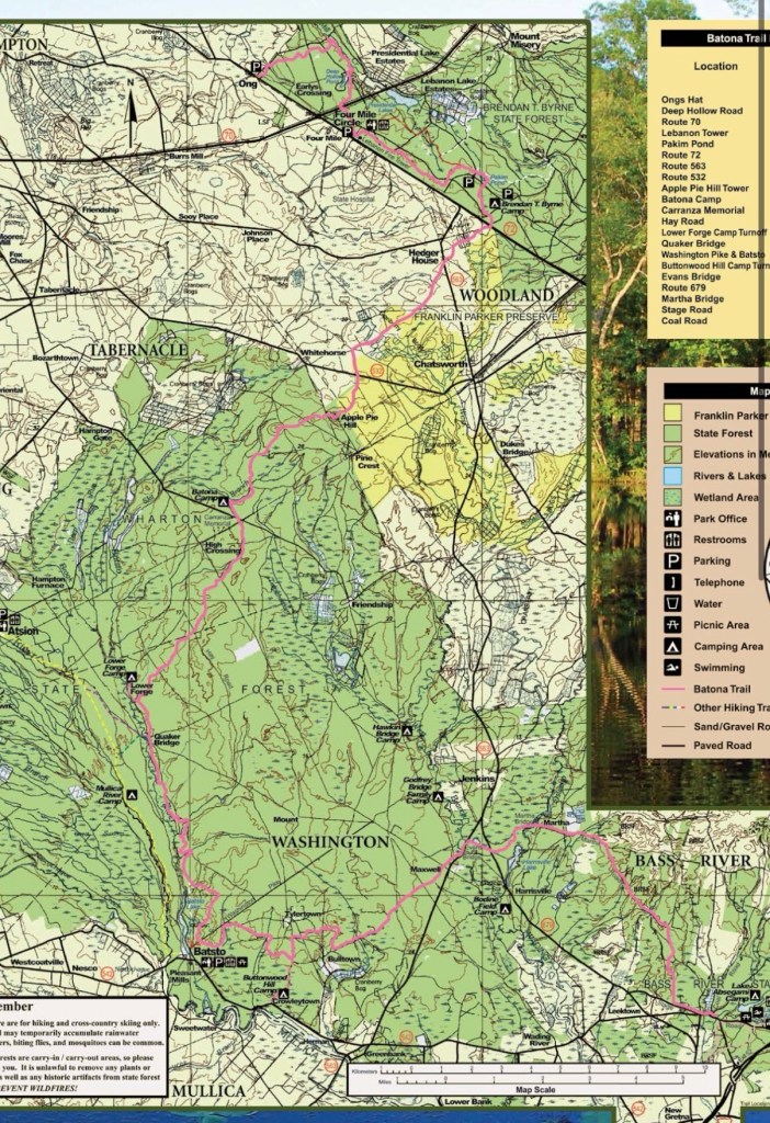
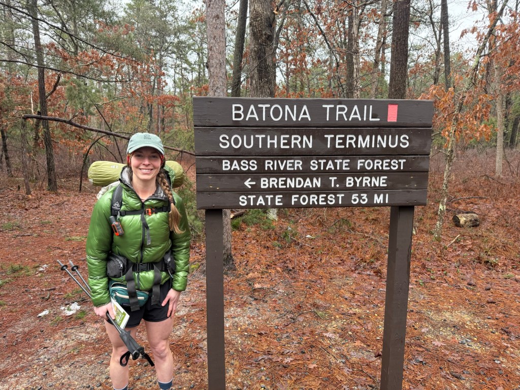
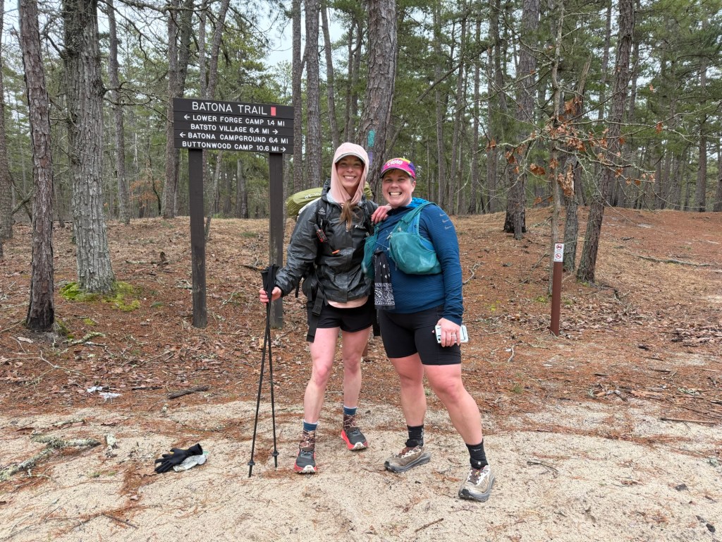
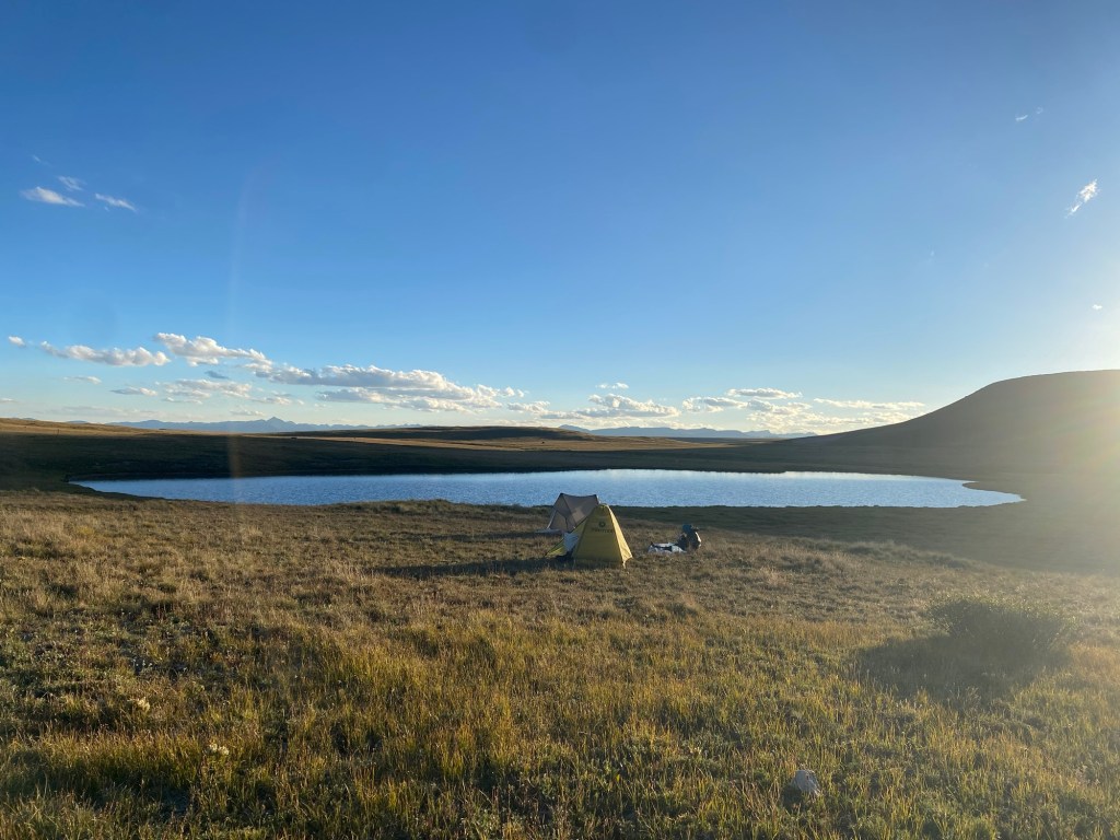
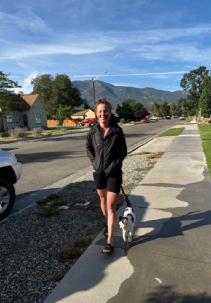
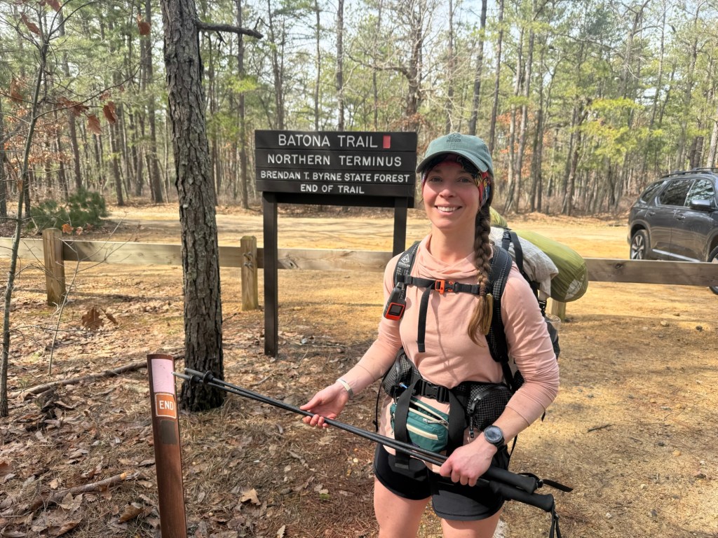
Update: I did a shakeout hike! I hiked the boring (to me) Batona Trail through the New Jersey Pinelands. While I didn’t have a run in with the Jersey Devil, I did test out all my gear and pushed my body in preparation for the PCT. You can read about it here (The Batona Trail – Emilie Bikes and Hikes) but the condensed version is that I now have a new air mattress, a reliable pair of rain paints, and boosted confidence that I can handle big mile days. Sure 22 miles on flat Jersey trail is different than out in the mountains, but I did it with relative ease so I’m ready for what the PCT may bring!
Logistics:
On a 2650 mile trail, logistics are going to be necessary. First off, the PCT requires a permit if you plan on going more than 500 miles. This permit system is quite interesting and unlike any permitting system I’ve ever been a part of. If you know me, you know permits are not my thing. So much so that I decided to forgo a permit and hike the whole Grand Canyon in one (very long) day Rim to Rim (Grand Canyon AZ) 2019 – Emilie Bikes and Hikes. Without boring you with all the details, you are essentially assigned a random personal login time from 10am-3pm PST in which you can snag any of 50 permits for early March to early June. Given that most people want to start from early to late April, these dates go the quickest. If you’re assigned an early login time, you’re in luck! You will likely have your desired start date. But if you have a late login time, good luck. You either will have to start in the snow or the dry desert heat. You can always look for cancelled permits if you have a bad date. Luckily, with a 10:31am login time, I nabbed my dream date: April 16. This is a perfect date because you still have relatively cool days in the desert and get to the Sierra mountains just as the snow is starting to melt, allowing for safe passage. With a permit secured, it was time for the real planning!
Except, planning for 2650 miles is all but impossible. From all the research I’ve done on facebook (PCT facebook groups are a wealth of toxic knowledge) and reddit, the best plan is no plan. Being someone agonized over resupply for my JMT and Colorado Trail experience, going in without any kind of resupply plan is baffling and anxiety inducing. It is recommended to plan only the first four days out there, any more than that is useless. Usually after four days all plans go out the window. I’m seeing that now as I observe people already on the trail. Some expected high mileage days from the jump but realized that 10 MPD is much more doable. Others underestimated water or the harm that comes with blisters, either needing unplanned rest days, rescue, or just plain quitting. I will be sending a resupply to Kennedy Meadows South (mm 703) because of bear canister requirements and likely will be sending a few to some obscure Washington towns, but other than that I’m flying by the seat of my pants. Sure, I hate it, but it’s all about being comfortable with being uncomfortable. Plans may go South, but I won’t let it derail me from going North. Plus, the trail provides.
And as always, I bought the maps on FarOut to help guide me as well as provide intel. FarOut is a map app in which members can post up to date details on the trail, mainly water updates or camping options. Water updates are critical, particularly in the desert section. Knowing if a stream is flowing or bone dry is crucial for maintaining hydration as well as being aware of the amount of water you have to carry at any given time.
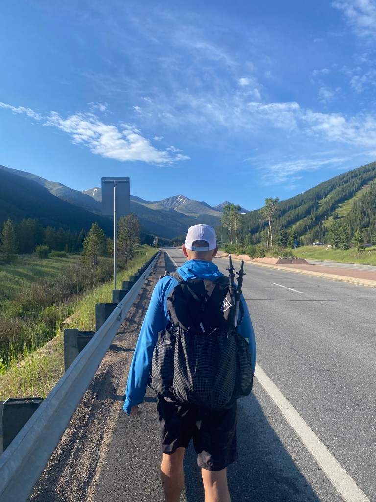
I fly into San Diego 2 days before I am due to start the trail. I booked a hotel right on the Pacific Beach for hopefully a relaxing last night in a real bed with what I hope to be a delightful last supper. I then will catch public transportation to the transit center in Old Town to catch a free shuffle provided by trail angel Keith to Campo, the start of the trail. I will be camping overnight at CLEEF and start my first day bright and early.
Trail Breakdown
Notoriously, there are 4 distinct sections of the PCT, all with their own challenges. Below I break them down and review special considerations a hiker needs to be mindful prior to setting out as well as my own personal fears for each section.
Desert: Mile 0-703
Special considerations: Being it’s 703 miles of desert, water and heat are the primary concern. This section is notorious for long water carries and praying that trail angels re-stocked coveted water caches. There are long unshaded sections that can get blazing hot. I’m hopeful that with my mid-April start date that the temperatures will be moderate and manageable, though this heat dome business has me questioning this. I would rather be hot than cold, but not hot enough where I have to worry about heat stroke. Most hikers mitigate these fears by starting early and taking siestas during the heat of the day. That might mean a late arrival into camp, but it’s worth avoiding the risk of heat stroke or dehydration.
Fears: I worry about encountering a nasty mean rattlesnake, falling into a poodle dog bush (no, this isn’t a made up Dr. Seuss vegetation – it’s a very real, dangerous, and prolific plant in the desert) as well as running into snow in high elevation. I have also heard horror stories about folks that hang out along the trail closer to Los Angeles as well as risky characters in, off all places, Hikertown. I hope to be in a group when passing through and I’m planning on skipping Hikertown altogether. Another huge fear I have is the Mission Creek section within the desert. Thanks to tropical storm Hilary in 2023, a large section of the trail was washed out. Just last year a girl had to be rescued after attempting this section of trail totally unaware that it was washed out. After sliding down, she was found clinging to the side of the mountain where she had been for hours. There is apparently an easy to follow detour, but knowing my navigation skills, I’ll probably end up in Arizona. This is also the section that most people quit – usually from injury. I was lucky enough to never experience any overwhelming pain on the Colorado Trail or JMT, but I’m also a few years older with crankier ligaments. Overuse injury is not something to write off and has taken thousands of hikers off the trail permanently.
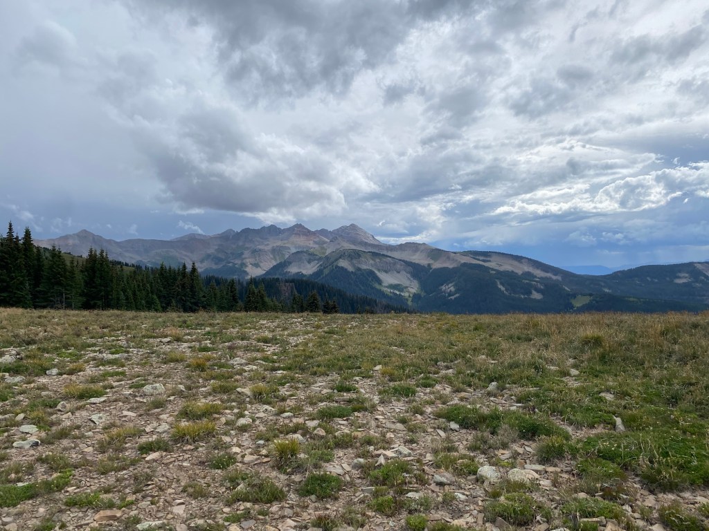
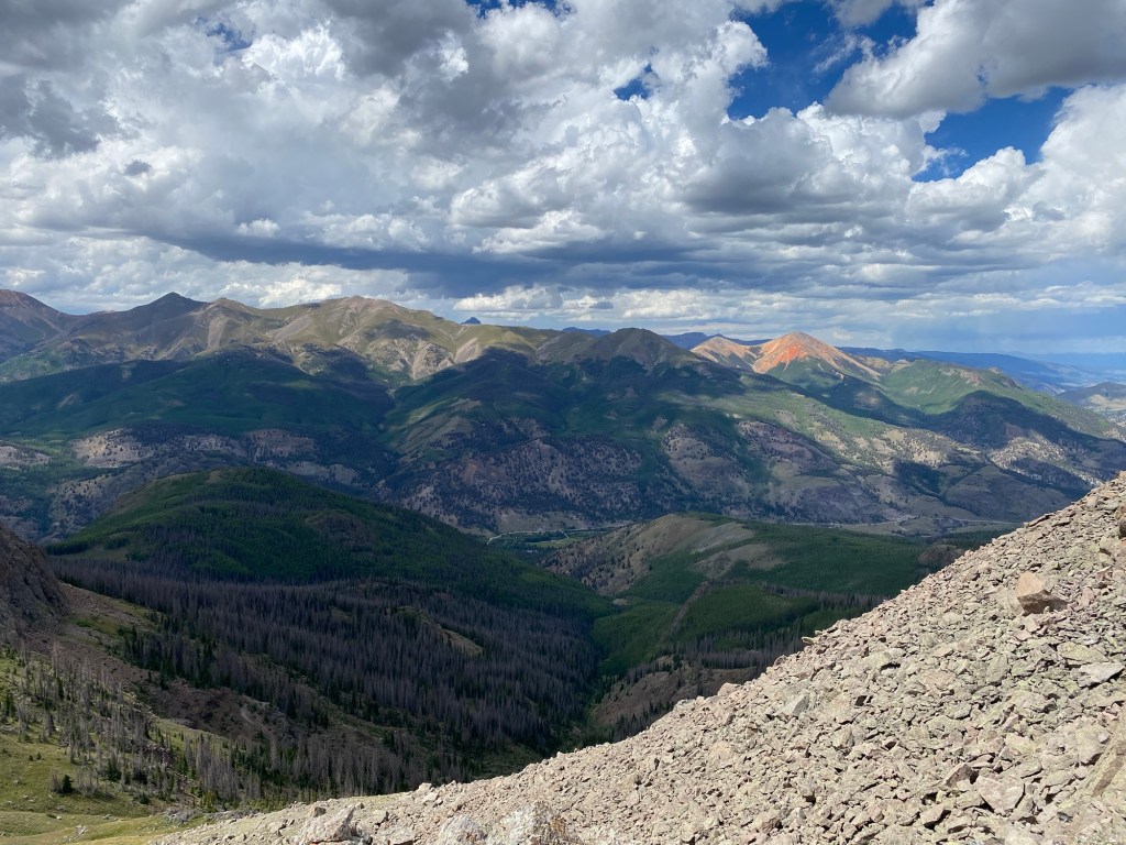
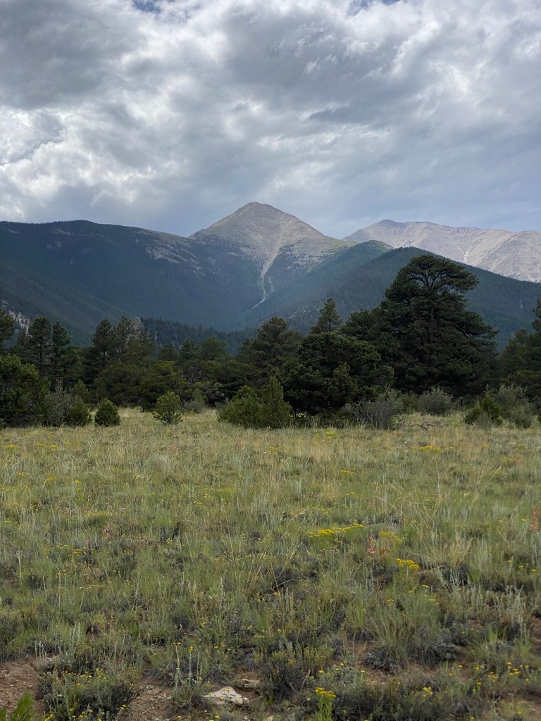
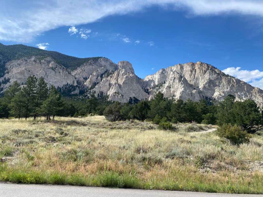
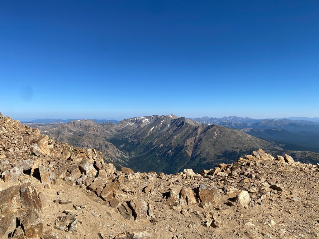
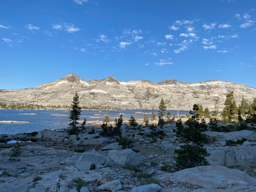
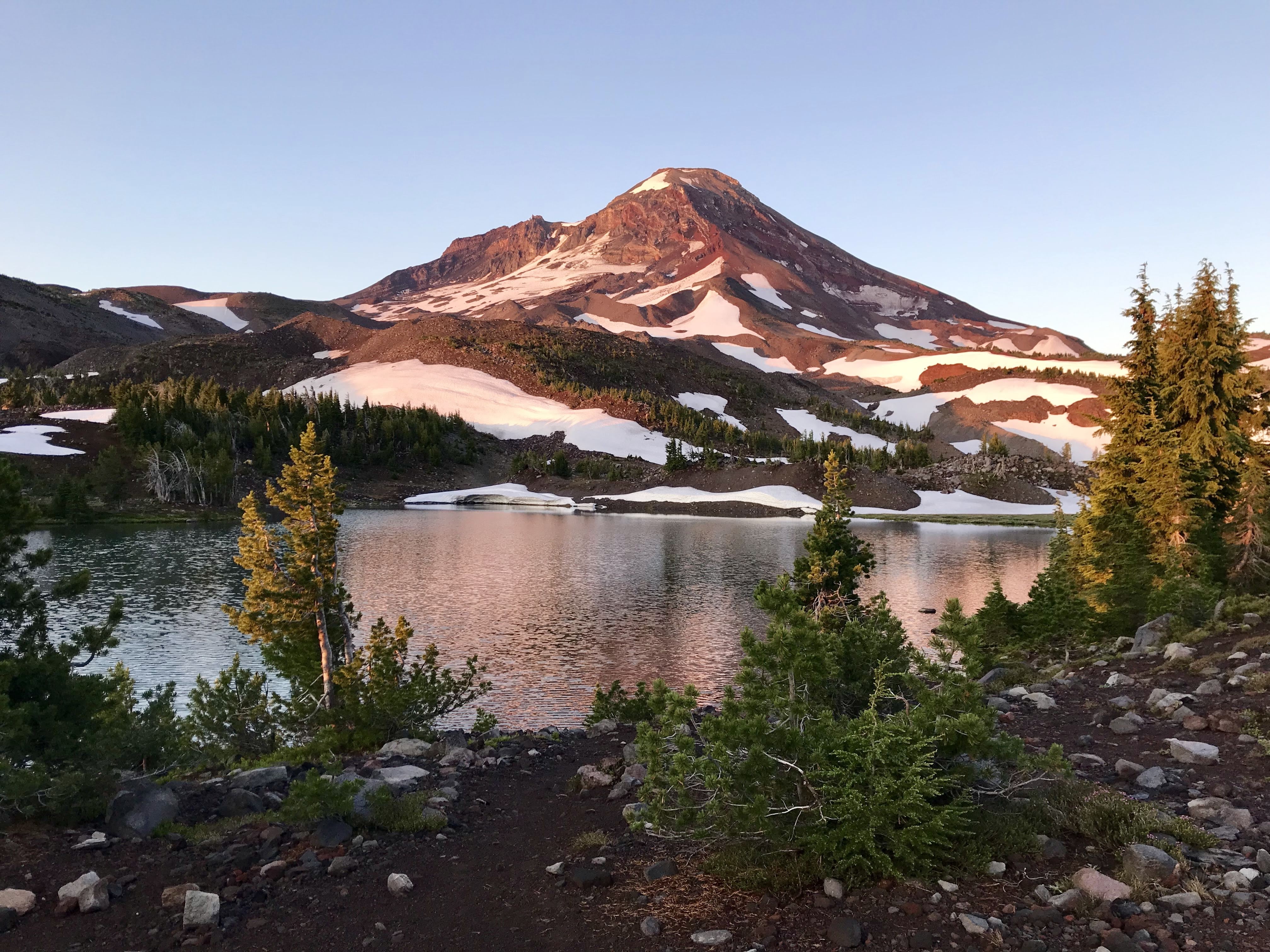
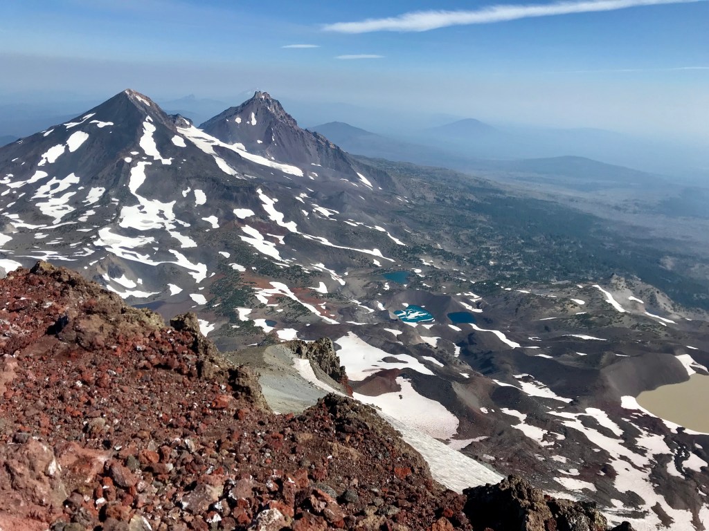
Sierra: Mile 702-1092
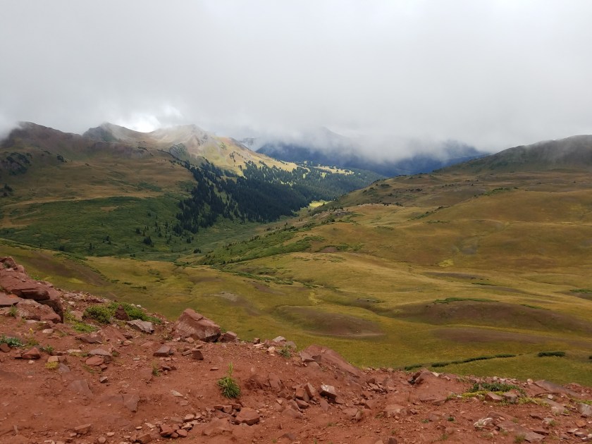
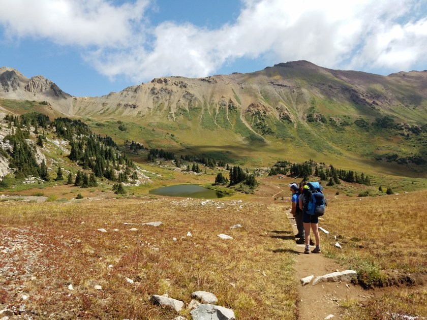
Special considerations: With a likely arrival at Kennedy Meadow South, the official start of the Sierras, the beginning of June, I know that I will very likely encounter snow. Just how much won’t be known until I get there. Today, in mid March, the Sierras are having lower than average snow pack, meaning likely easy passing through. However, that also means less water and higher fire risk. But the mountains are unpredictable and there is plenty of time for storms to add literally hundreds of inches of snow to high elevations. My plan is to enter the Sierras with a group (or even one other person) of individuals I trust in high stakes situations. This will alleviate a lot of fears I have with managing snow and river crossings.
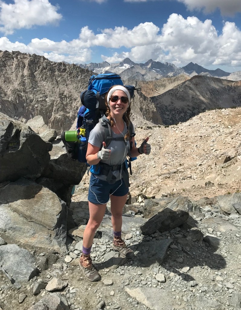
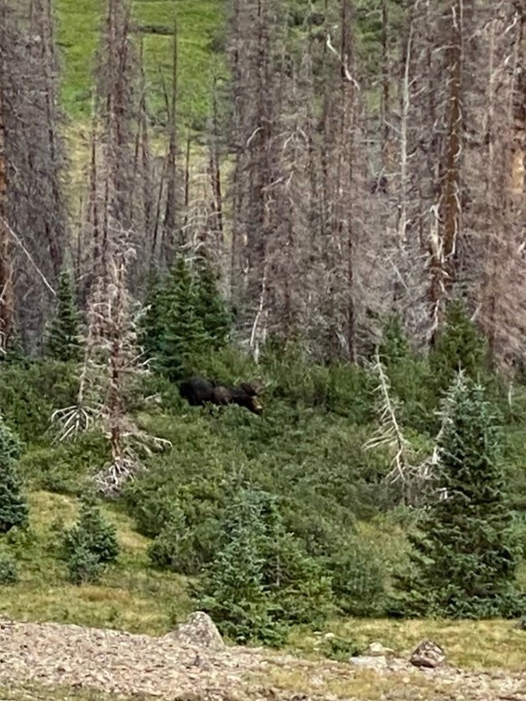
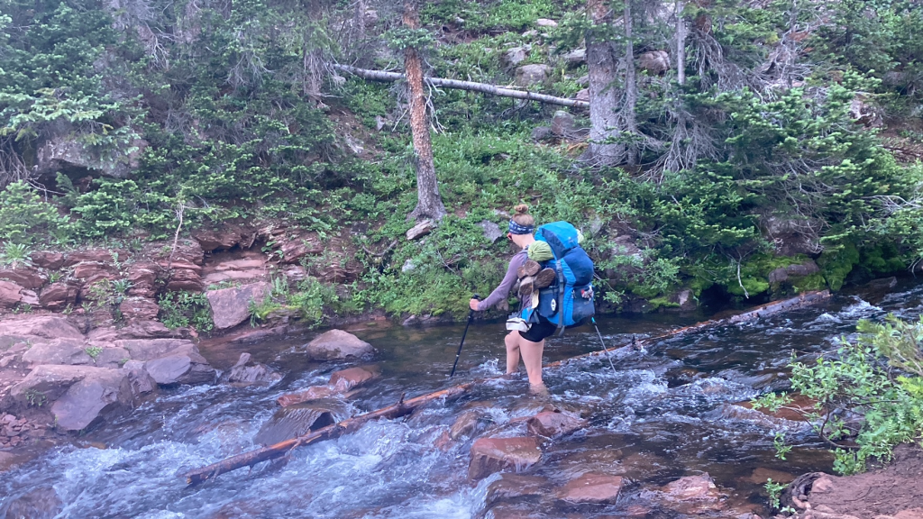
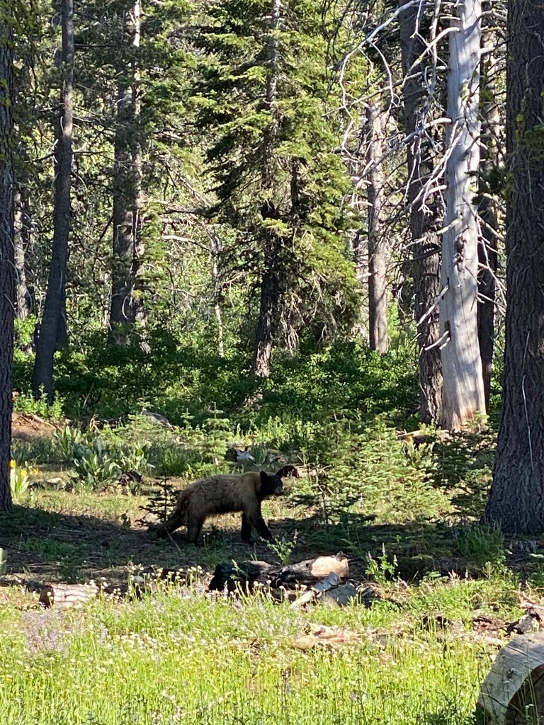
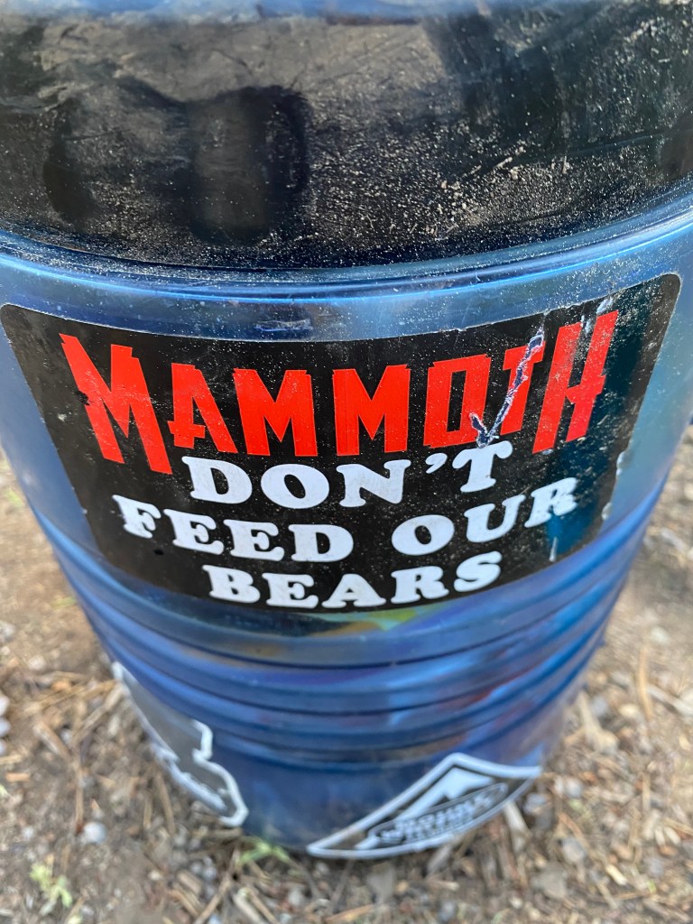
Fears: Anyone who knows me knows I hate the cold. Truly. I believe I have Raynauds Syndrome with my biggest symptom being complete loss of fine motor control in my hands when cold. It could be the hottest day of the summer and my hands are freezing – just ask any of my patients! I find I get cold easily and that turns into a miserable experience that is hard to recover from. Add rain and wind? That’s a recipe for me to quit. I will have plenty of warm clothes, including gloves, mittens, and down booties for nighttime. I am also fearful of water crossings. Having already gone through the Sierras, I know that some of the streams and creeks pose danger to anyone attempting to cross. Getting taken by a strong current stream is not how I want this adventure, and potentially life, to end. I will mitigate this risk by crossing large streams/creeks early in the day when the snow pack has not had a chance to melt in the afternoon sun. This will likely slow me down, but better late than dead! While I have little to no fear of bear encounters, they aren’t unheard of in the Sierras. To mitigate bear risk, bear canisters for food containment is necessary in this section through parts of northern California. I have completed most of this section already, if I did it then I can do it again!
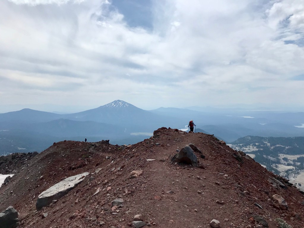
Northern California: Miles 1092-1692
Special considerations: Known as the “NorCal Blues”, the mental fatigue of making it through this section is apparently very real. With not much to see past Tahoe, it seems like it’s a “keep your head down and march” section. Granted, after what I’m sure will be a tough trek through the Sierras, I think my nervous system might enjoy the break some boring hiking will bring. If anyone is apt to visit, this is the section to do it! All I ask is you bring me my mom’s pepperoni bread – I will no doubt be having a huge hankering for it by then!
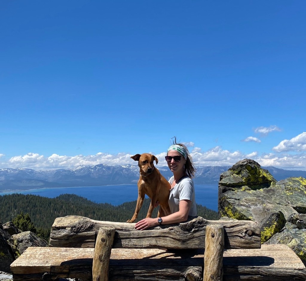
Fears: My biggest fear is my mental health. After this amount of time on trail, tripling the mileage of the Colorado Trail, I worry that I might get to the point of “well I did enough, I’m done”. I am hoping I will be stronger than that mentally, especially at that point, but I have no way of predicting this. I quit the Tahoe Rim Trail because I mentally wasn’t into it. Sure, Addie was being watched by strangers and I felt so guilty dragging her out there, but I was so mentally checked out nothing could convince me to finish that trail. Addie (and the cats) will thankfully be in good hands at home, but I may find another reason to come home with my tail between my legs. Bears are also known to roam around here (lest we forget the great Tahoe bear encounter of 2021 in which they literally stole someone’s bear canister after a full night of stalking) but they tend to leave us two legged folks alone.
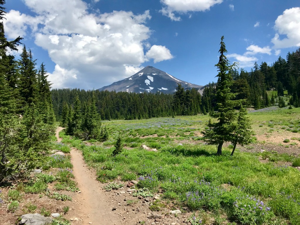
The trail continues through 456 miles of Oregon and 505 miles of Washington. These two sections are such wildcards for me, and as such, I won’t elaborate much on them, just in case I don’t make it (gotta be realistic – the odds are not in my favor!!). I’m not sure what to expect, though I have experienced some of what Oregon has to offer. I’m excited to see what these PNW states have in store for me, particularly Washington, which (from a hiking perspective) is totally untouched land for me.
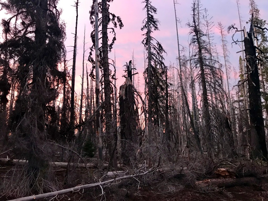
I have heard of blowdowns that make these sections difficult and stressful, but the beauty makes it all worth it. By the time I get to these states, I will be very much in fire season. As of right now, the snow pack in these regions is below average. Should things not change, fire risk goes up, as does risk for having to skip some sections due to fire closures. Washington was also hit pretty hard this winter with floods that have wiped out some sections of trail. I’m hopeful that by the time I get there, established detours will be in place to ensure safety. All in all, these sections are the most anticipated for me – just have to get through the 1652 miles of California to see them!
Well, that just about summarizes it. I have still a lot to do before heading out, including telling work! Oh dear, hopefully I’ll have a job to come back home to, but I might really be pushing my luck this time (edit: I have a job to come back to!). I’m fully expecting this journey to be tough. A lot of people love to highlight the good parts of their thru-hikes. The “look at these views!” and the “magic of it all!” and “I will never be the same” is all fine and dandy, but I’m expecting those feeling of elation and joy to be few and far between on this trip, but the few I do encounter I expect to be the best life has to offer. I’m planning on highlighting the good and the bad. I won’t sugarcoat the physical pain, the mental breakdowns, or the little frustrations that can make or break a day. That’s all part of the journey. I’m going in with the expectation that (on average) 50% of the day to be boring, 25% to absolutely suck, and 25% to be thrilling and exhilarating, I mean that sure as heck beats my current ratios, so I’m down to get going!!