The Pacific Crest Trail: Oregon Part I

Day 101: July 25: 3.7 miles

Today was such a nero it may as well have been a zero. After a quick and cruisy walk to the road, we had to walk a little further to the interstate ramp to get a ride. Thankfully it didn’t take long for Nick to pull over with a truck packed to the max with gear for a trip to the Sierra. There was just enough room in the back of the bed for me to squeeze in. Did you even hike the PCT if you didn’t ride in the bed of a truck??
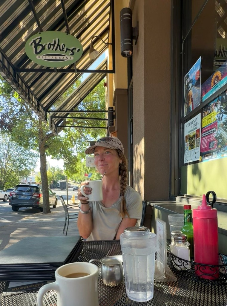
If you ever find yourself in Ashland, this breakfast may have been the best on trail.

We got dropped off at a great breakfast place and even checked out the farmers market. No hydroponics, I see an untapped market here! We met Brian, who recognized us immediately as PCT hikers and offered a ride back to trail tomorrow. He is a talented woodworker and makes beautiful creations. If you are interested in checking out his work, his business is Mother Tree Makery. With Christmas right around the corner maybe you’ll find a beautiful unique handcrafted gift!
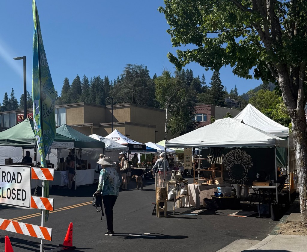
Brian’s booth is the first one on the right

Ashland is an amazing town. They love hikers and are very welcoming. Plus they have great food. They are mostly known for their summer long Shakespeare Festival, drawing in crowds from around the world. If I had another day in town I would’ve happily watched a show! There’s just not enough time in a day, especially a town day unfortunately.

We’re staying with Craig, a hiker and biker (sound familiar??) who loves to host hikers. He has a lovely home and is just an overall kind person. We shared intriguing conversations, including lots of hiking and biking tales.

Day 102: July 26; 13.7 miles

After over 100 days, I made the difficult choice to continue this hike alon. Spending so much time together in such a stressful and exhausting environment can cause a lot of tension and conflict that can be difficult to resolve. In this case it was impossible. The best solution was to go our separate ways.

In an effort to create distance I decided, along with my parent’s advice and concern, that skipping ahead 56 miles was the best way to ensure separation. After the events that unfolded in Ashland, I no longer felt safe. To me, it was clear that this partnership was done and there was no need to maintain contact. I was resolute that I would do my best to keep my location private- no posting on social media, no updates via the blog, and no signing trail registers. I know I scoff at skipping ahead, but this strategy was necessary. I have every intention of going back to Ashland and completing those miles when time allows. I have to say, the men of Ashland helped make this transition seamless and as stress free as possible. Brian, Craig, and Uber driver James offered comfort and support during a very difficult and emotional time for me. I cannot sing their praises enough.

I arrived to the trailhead at Fish Lake Resort around 3pm. I hadn’t looked at this section of the map so I had no clue what to expect. Luckily for me, it was cruisy and mostly good terrain. A few blowdowns here and there, but I managed just fine. As the events of the past day repeated in my head, I prayed that this strategy would be enough to prevent our paths from crossing. It feels weird saying “I” instead of “we”, but I felt confident about my abilities. After all, I set out on this trip with the intention of hiking solo, now it was time to finally do just that.

When I got to a water source I noticed something was off with my filter. Seeing as it is fairly new, I’m used to filtering taking a minute per liter at most. Just yesterday it was flowing like a champ. This filter was barely flowing, despite my every effort to squeeze the bag to force a harder flow. Taking 5 minutes to filter a liter, I grew concerned about the effectiveness of the device. I couldn’t even be certain it was mine. I shook and banged it, things you’re supposed to do to get it to flow better. No dice. Regardless of how it happened, I need a new filter. Thankfully I have amazing parents who were able to get one shipped to Shelter Cove ASAP, just a few days away. Looks like I’ll be getting in a good arm workout until then.

I arrived at camp before 8pm, tired from the whole ordeal of the day. I ran into some familiar faces and some new ones. I’m hoping to see more people the next few days even as just a distraction.
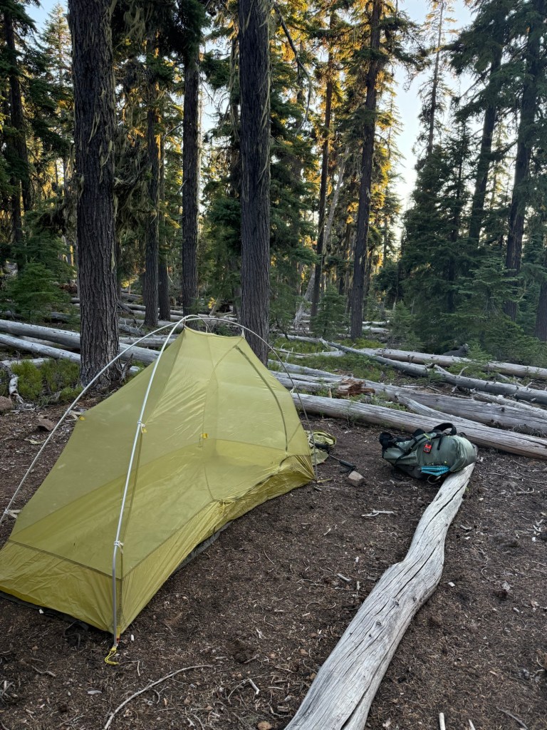
Day 103: July 27; 29.4 miles

I slept like a rock. The tent always does it for me. I also woke up with a raging headache. Not sure if it was a subdural hematoma from knocking my noggin or just a good old fashioned stress headache, but either way it made breaking down camp rough. Thankfully some ibuprofen did the job.
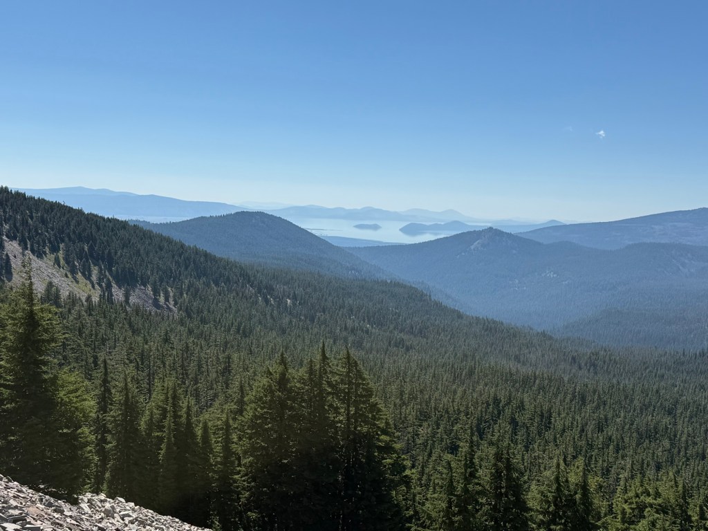
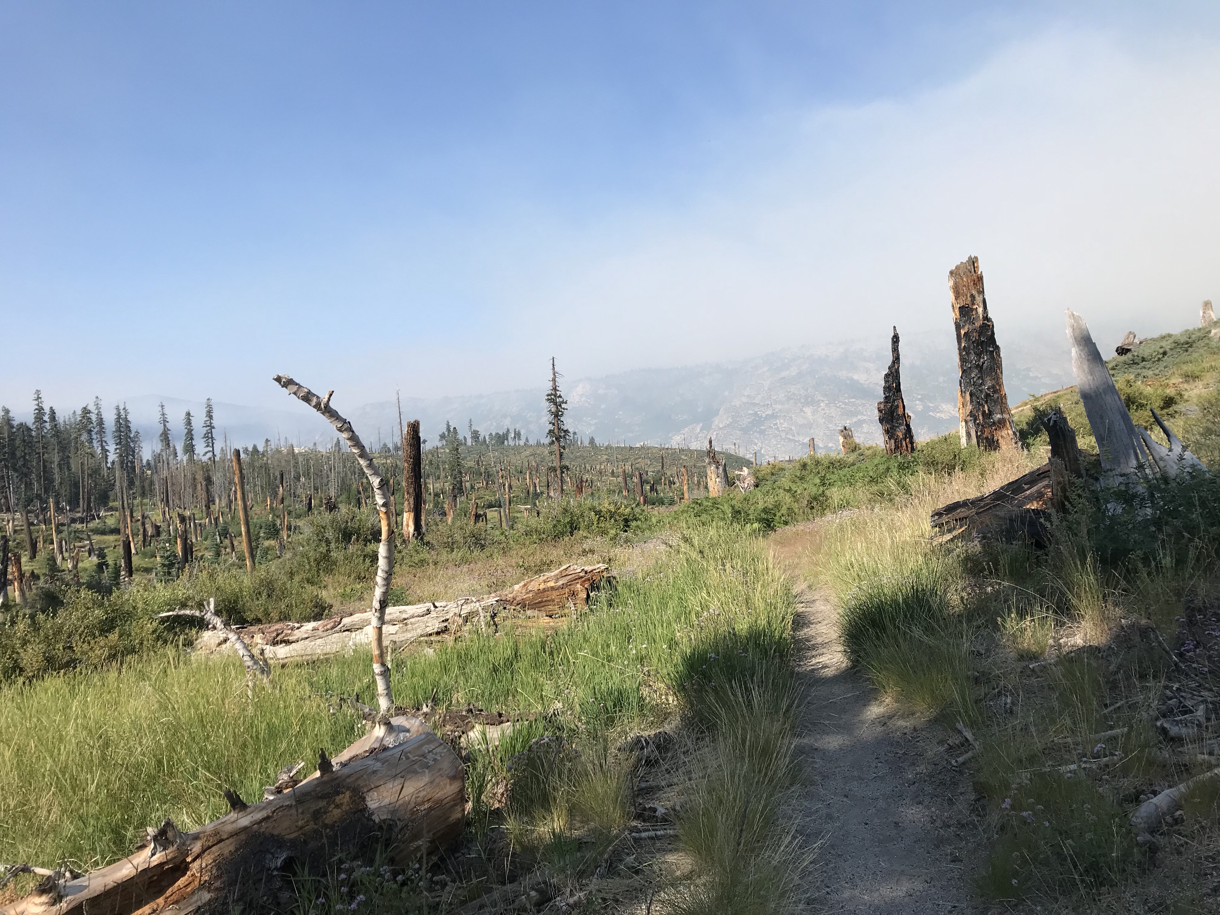
The day had its challenges, mainly some pretty frustrating blowdowns, but it went quickly. There were more burn zones which I think I’m just going to have to get used to.
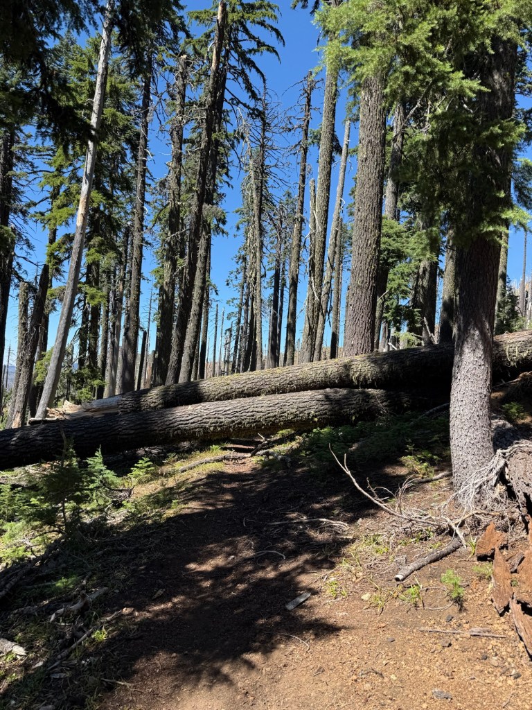
Easy to get over

Uber driver James explained a lot of why the forest fires have been so bad in recent years. He said that though the uptick in protected lands is positive, there has not been maintenance of the protected forests. They have become so overgrown with trees that if a fire breaks out, it’s too thick for firefighters to even attempt to enter to put it out. Instead they have to just let them burn. Apparently there are 40% more trees now than there were when Lewis and Clark came through. He knows all this because his brother is a biologist and does consultant work for the Forest Service. He’s frustrated because of the politics of it all. Without getting too into it, essentially politicians campaign on the premise that logging is bad and more protected spaces is good. James’ brother believes that there can be a happy medium. Logging to control the tree density to mitigate fires while also keeping the land protected… from wildfires. Walking today I did take notice of just how dense these forests (that remain intact) really are. You can only see a few feet in and any space that is even a little open is already covered with multiple saplings. Very interesting and definitely food for thought.
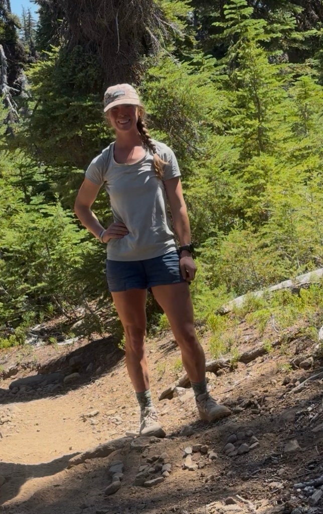
1800(ish) miles

I got into camp at a reasonable hour thanks to a very cruisy landscape. I didn’t see one NOBO hiker, but did see a few SOBOs. I know the NOBOs are out here though, the trail register for entering Crater Lake National Park boundary had 27 names for today! And a few I even recognized. I’ll hopefully see them in person tomorrow at Crater lake. In order to keep my location private, I have stopped signing trail logs, posting on social media, or publishing this very blog. I already made the difficult decision that I will not be attending Trail Days, a mini PCT hiker reunion that just seems like a general good time. By the time you read this, I’ll very likely be off trail and home. It’s unfortunate, but worth it to ensure safety and continuation on trail.
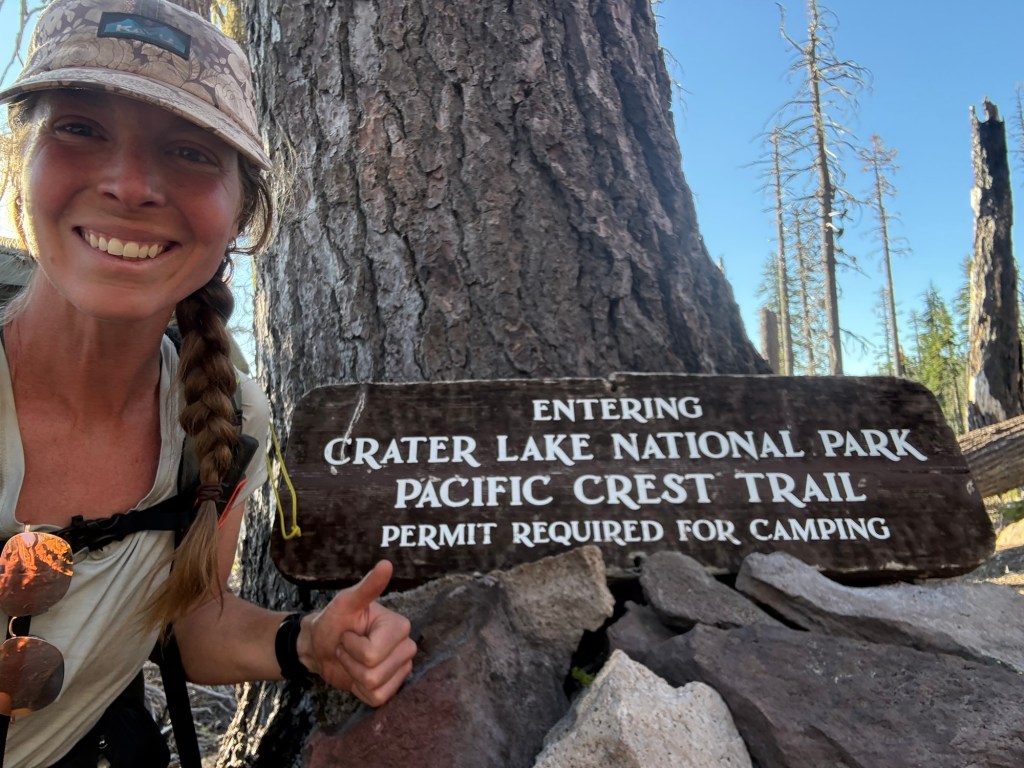
I’m really looking forward to seeing Crater Lake. It’s one of the few National Parks I’ve never been to. I’m sure I’ll be blown away by it, after all it’s the deepest lake in the United States!
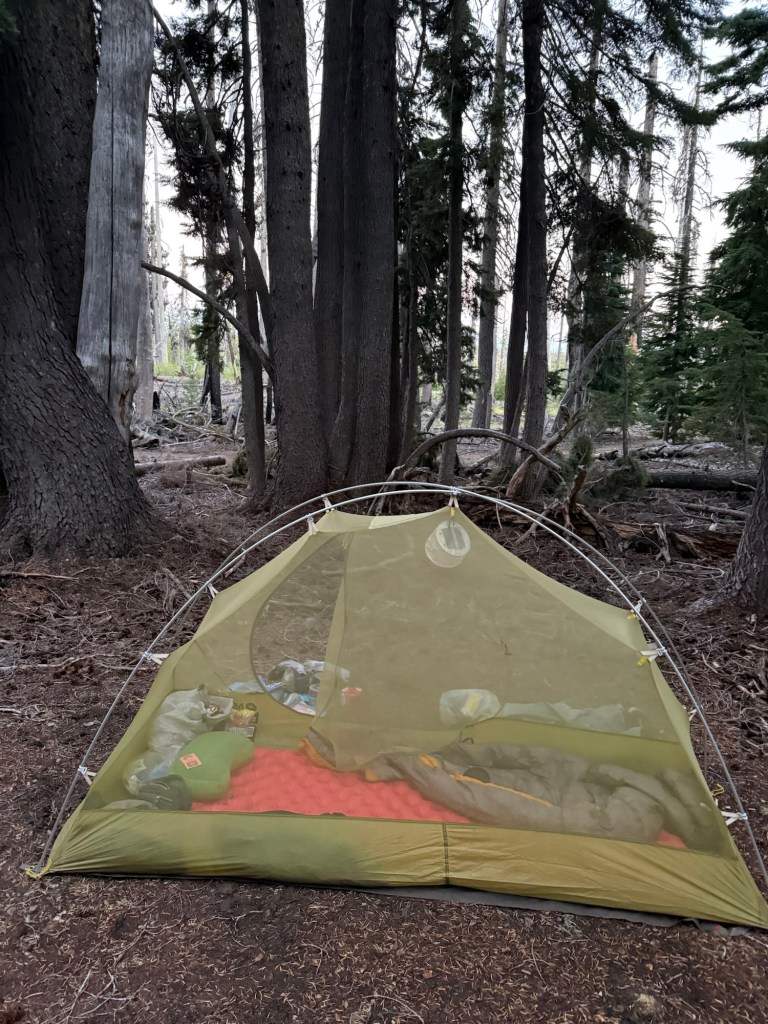
Day 104: July 28; 25.7 miles (ish*)

It was just about midnight when I was startled out of a dead sleep by something clumsily crashing through the bushes. Fearing the worst, with a pounding heart, I calmed myself down and realized I recognized this distinct pattern of stumbling – and for once it wasn’t me causing the ruckus! Positive it was a deer in desperate search of urine (or maybe socks?), I had to make sure to settle the dark thoughts that maybe I lucked into meeting the world’s loudest mountain lion. Do they even have mountain lions out here?? I was about to find out.

I searched for my headlamp, miraculously finding it within seconds. I shined it out and instantly found two eyes glowing back. No matter the culprit, it’s always unnerving. Startled by my boldness, the animal slowly retreated, eying me the whole time. Its neck movements clearly giving the mystery away – it was indeed a urine thirsty deer. Knowing the jig was up, it casually strolled away but the need for pee was too strong and closer it came. Not tonight! I wrestled vigorously around in my tent, yelling at it to back off. Realizing that this crazy lemon wasn’t worth the squeeze, it bounded back into the woods. I grabbed my socks from outside and safely stowed them away in the tent. Uninterested in its comings and goings, I put in earplugs and drifted off into a peaceful sleep.

I only had a short walk to Mazama Village, an off trail area within Crater Lake National Park that houses a restaurant and general store. I shipped a resupply package there, but with skipping up trail I didn’t really need it. I still had plenty of food. But I decided to grab it anyway… there were a few items in there I wanted.

So at 8:00am I arrived and found a whole crew of hikers. They had stayed at the campground overnight and were eager to explore the park. I ran into Pics and Car Fax, both of whom I haven’t seen in well over a month. It was nice to catch up with Pics and I was so happy to see that Car Fax was in much better health than the last time I saw him. I met new faces, but it was a short meeting. They were getting ready to catch a shuttle to the lodge, effectively cutting 5 miles off the trail. It sounded tempting, but by taking the shuttle my first view of the lake would be by vehicle. I wanted the pure experience of seeing it by foot. I have never seen Crater Lake and wanted to savor the experience.

I stayed at the general store until 11am, effectively giving away well over half my resupply package. It was way later than I had intended, but I needed to charge devices and use the wifi. I had also wanted to get some food at the restaurant, but they of course didn’t open for lunch until 11am, and I had already wasted enough time.

So off I went, with a pack loaded with entirely too much food and 3.5 liters of water for a suspected long dry section with unclear reliability of water caches. This pack was heavy. And of course, the whole trail to Crater Lake was aggressively steep. I was starting to regret not taking the shuttle.

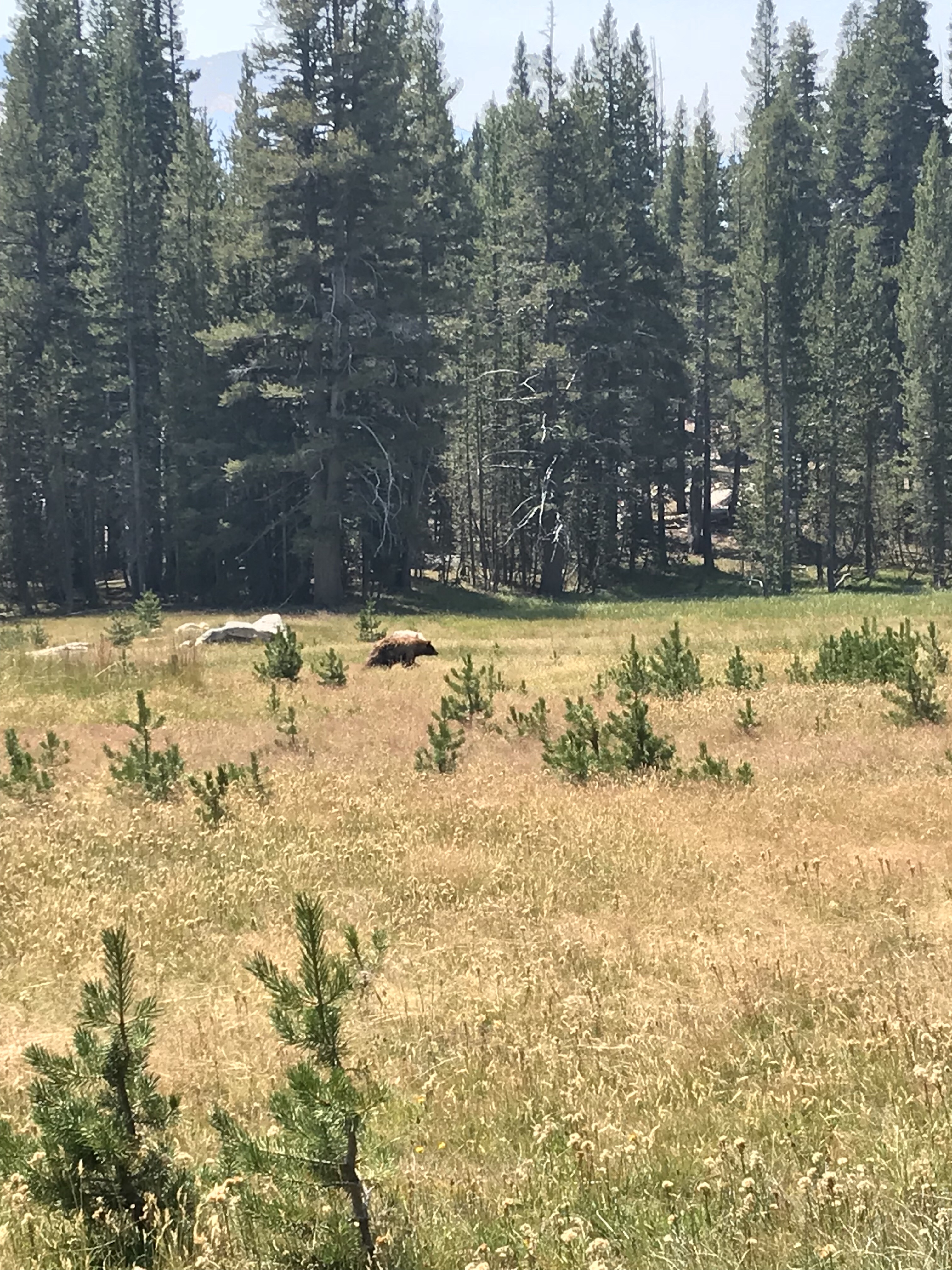
On my way to the rim I came across a bear. Still several yards away, I saw it before it even knew I existed. Right on the trail, I knew I had to scare it off. Which I effectively did by banging my poles together. Like a cartoon character, its hind quarters outpaced the front and it tore into the woods. Curious about what caused all the ruckus, it gained its composure and swung a left… right where I was standing. Oh great. I didn’t see any cubs, so I wasn’t worried about mama bear behavior, but did notice this guy looked hungry. Close to being emaciated, I was worried he was staring at me deciding how tasty of a snack I would make. I started yelling and thrashing about – if it worked for a deer surely it’ll work on a bear. It certainly did not… it remained fixated on me. I clearly wasn’t too scared, I snapped a quick shot before I scuttled calmly by it, wishing it a good day. There was no charging or following, so I felt safe moving on.
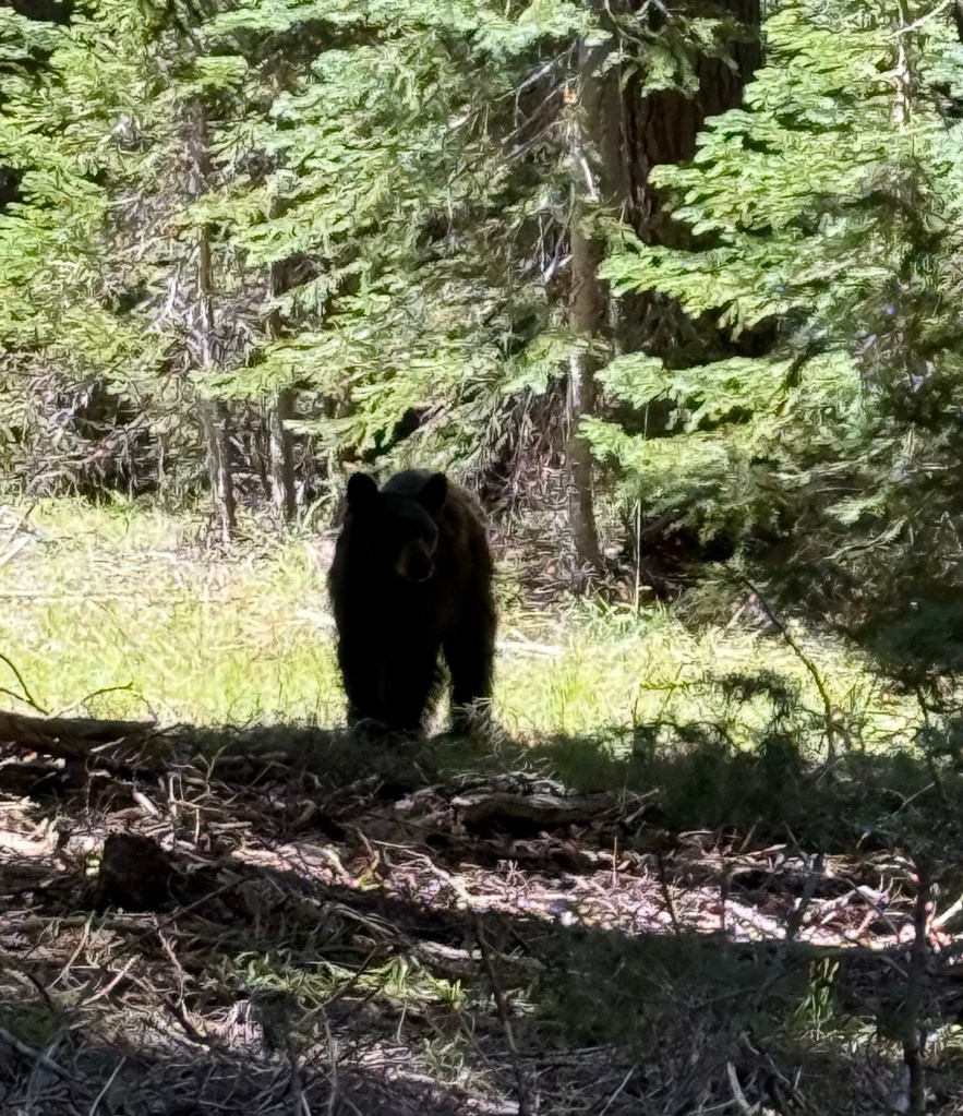
I think this was a geriatric bear

Eventually I made it to the rim… the lack of trees indicating that something massive was coming. Sure enough, I walked right up to the edge of Crater Lake. It was a beautiful blue behemoth.
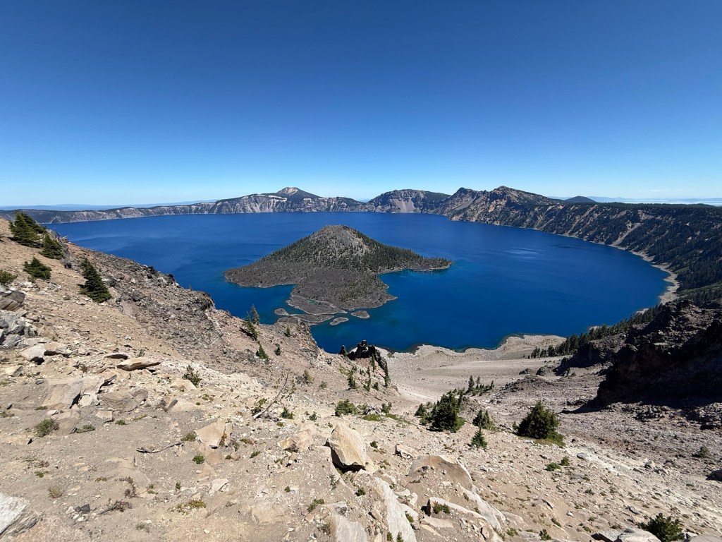
The rim trail around the lake is not official PCT, but mostly everyone takes it for the 11 mile views of the lake. I wasn’t anticipating the steep ups and downs the trail threw my way (I put my hiking poles away to avoid hitting the tourists) and grew tired, the view only providing so much motivation. But eventually it mellowed out so I could really take it all in. It was the first time in hit me… I walked (mostly) all the way here from Mexico. I had full body chills letting that thought sink in.
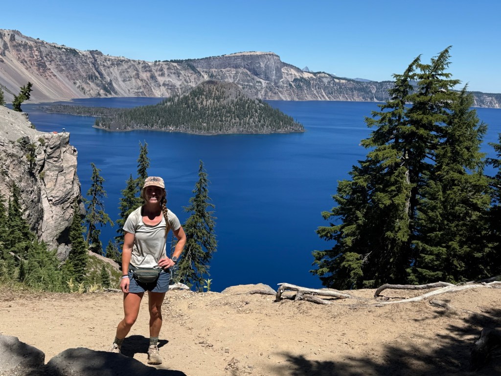
After rejoining the PCT it was nothing but smooth sailing to where I eventually ended the day. Because it was such a choppy day, the mileage is only my best guess. The rim trail cut off some mileage (the official PCT mileage would have been 29 miles), but not a ton. My feet are very tired so I’m happy to give them a bit of a break.
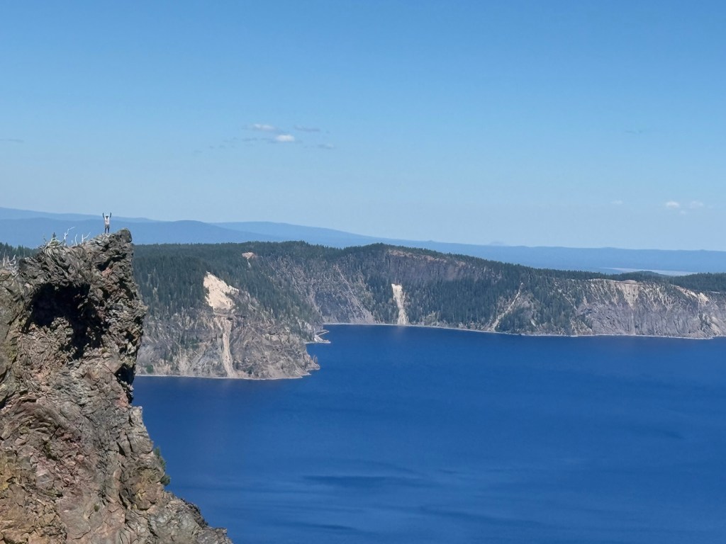
If you zoom in you can see Pics doing crazy 19 year old stunts

Day 105: July 29; 33.1 miles

The shortening of the days is definitely becoming more and more noticeable. Especially in the morning. I am l relying on my tent light and head lamp more, particularly trying to get out of camp earlier in an effort to get in more miles. It was a quiet night, not one deer came in search of pee.

I was able to make it to the water cache in record time. I was not at all surprised to see about 10 tents littered throughout the area. I’m glad I camped where I did. I think I prefer camping alone.
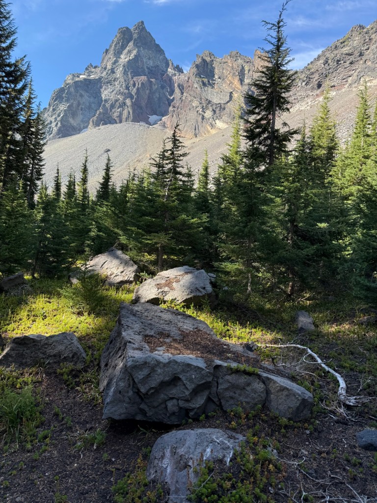
I haven’t hiked with so many people either! I did a few miles with Lamb, who along with her wife Brisket were the first to make bootpack on Forester after the late May storm. It was a pretty harrowing story. Even with mountaineering experience she said the trek was still pretty dodgy. I was grateful for their bravery!

The rest of the day I hiked with Chew Toy (Abby) and Idaho (Kate). They’ve been hiking together since South Lake Tahoe. I really enjoyed getting to know them and seems we all have similar goals with how to get to the end of the trail. We shared stories, good and bad, and talked about every subject under the sun. Maybe I’ll stick with them!
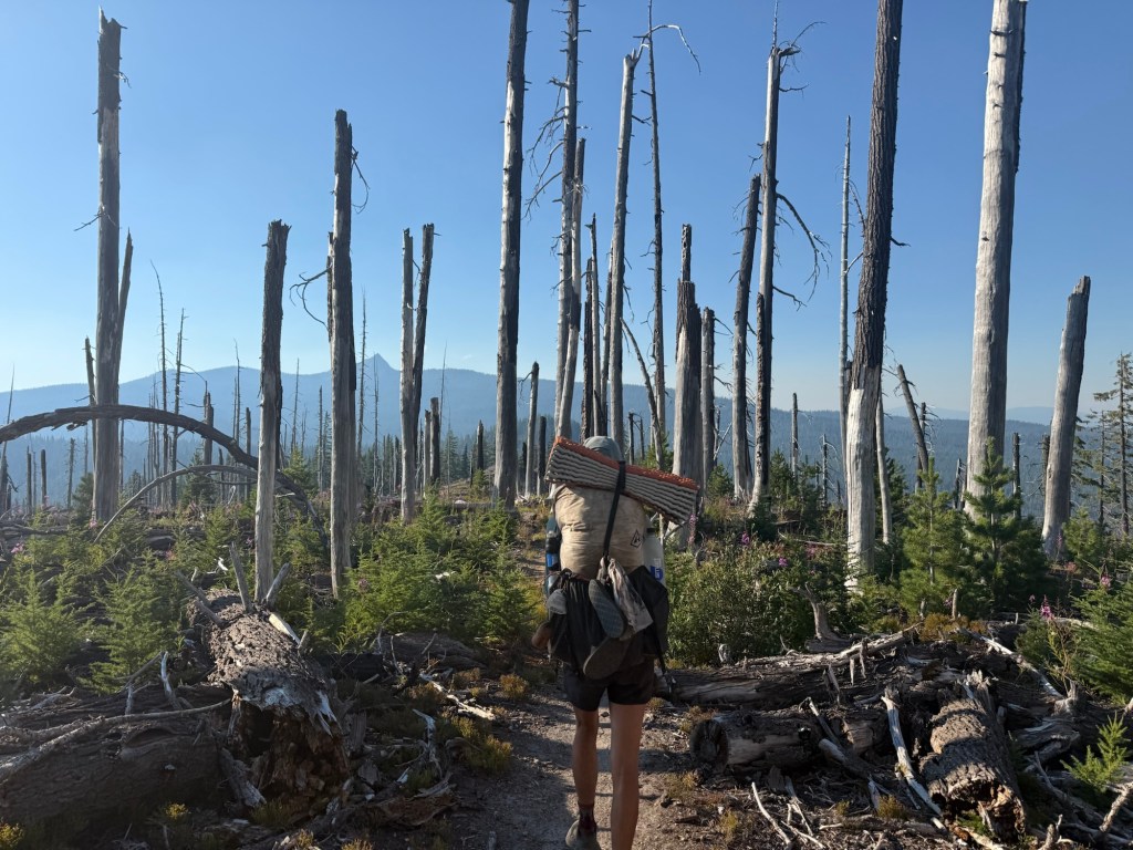
Hiking with new people definitely made the miles fly by. The easy terrain (though still many blowdowns) was also extremely beneficial towards getting through my longest day yet. I didn’t set out with the intention of a 33 miler, but poor water access forced me to. Not wanting to carry a gallon of water for a dry camp, I let good conversation guide my tired feet to a water cache where I stopped to camp. Chew Toy and Idaho decided to move on, but I’ll definitely catch up with them tomorrow. It seems to be a pretty popular spot with already 10 people here. I wouldn’t be surprised if another 10 show up sometime soon. I can’t believe how many people are on trail up here!

I’m only ~30 miles from Shelter Cove Resort, my next “town” stop. It’s a little off trail but I’m excited to get there and check it out. The terrain looks even more forgiving and with only 30 miles, it’ll feel like a nero, ha!

Day 106: July 30; 30 miles

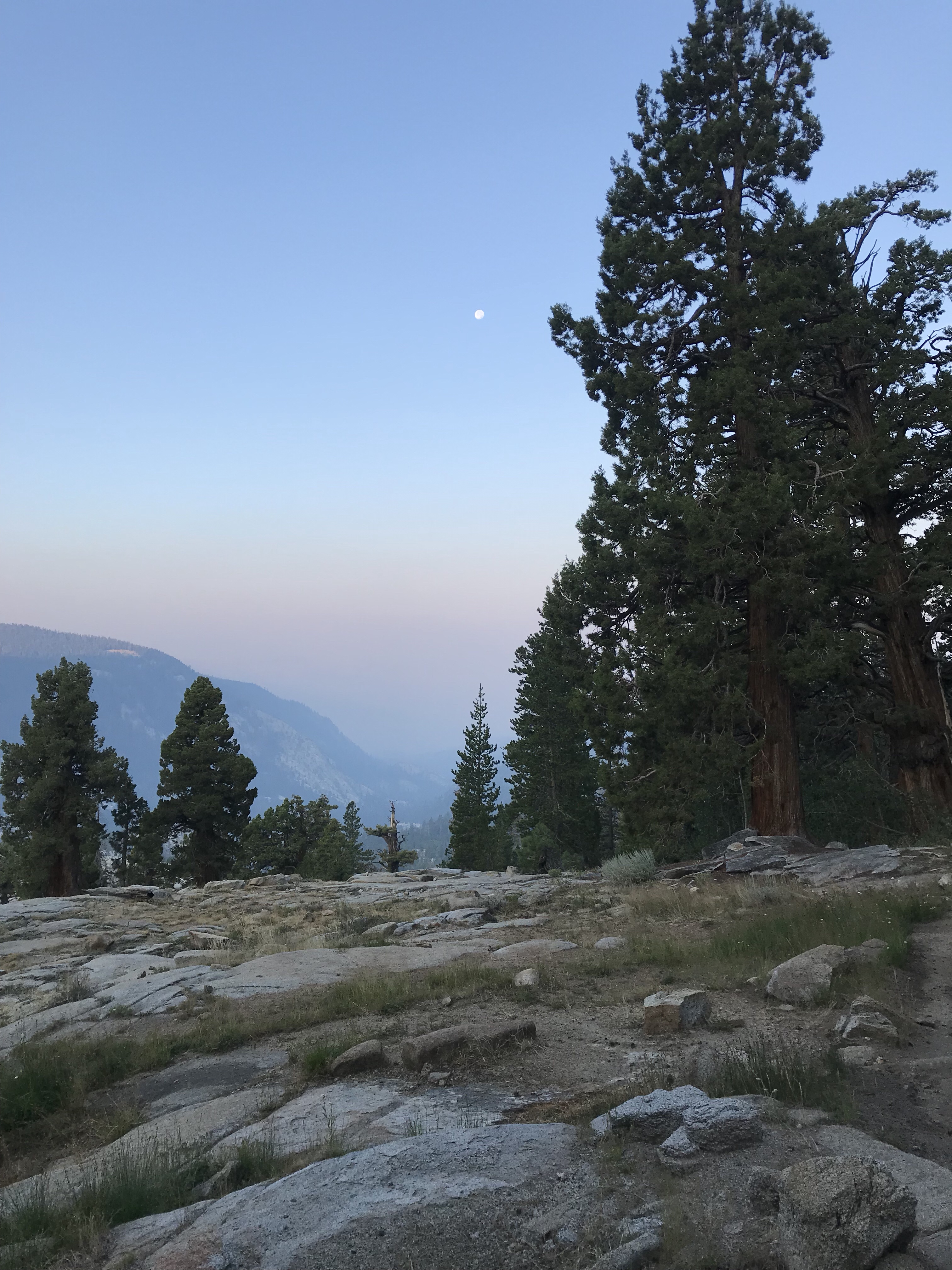
It was an early start with a full moon to light camp breakdown and the start of the hike. While absolutely beautiful, it didn’t foster good sleep when shining directly into the tent. But it definitely wasn’t the worst nights sleep.
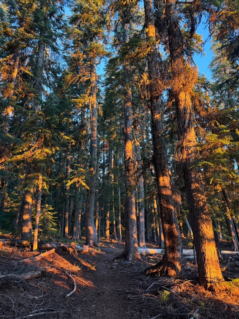
I felt great after yesterday’s big push. Today didn’t look dreadful by any means, so I was ready to take it on and get to Shelter Cove. I was going to skip it because I have plenty of food and it’s off trail, but I needed to make the stop to pick up the filter my parents so kindly sent my way. Thankfully I haven’t had to struggle too much with the filter because the caches have been so great. But they don’t last forever so I’m thrilled to have a filter that will actually work and I know is effective.
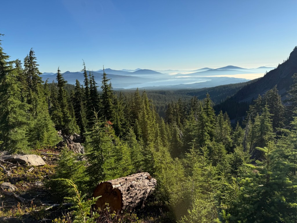
The day was cruisy, a couple climbs but nothing to even give a second thought to. I left before everyone else and didn’t see anyone until the afternoon, where I ran into Callie. We talked a bit before I drifted off, eager to get to Shelter Cove early – well aware that everyone else was going there too.
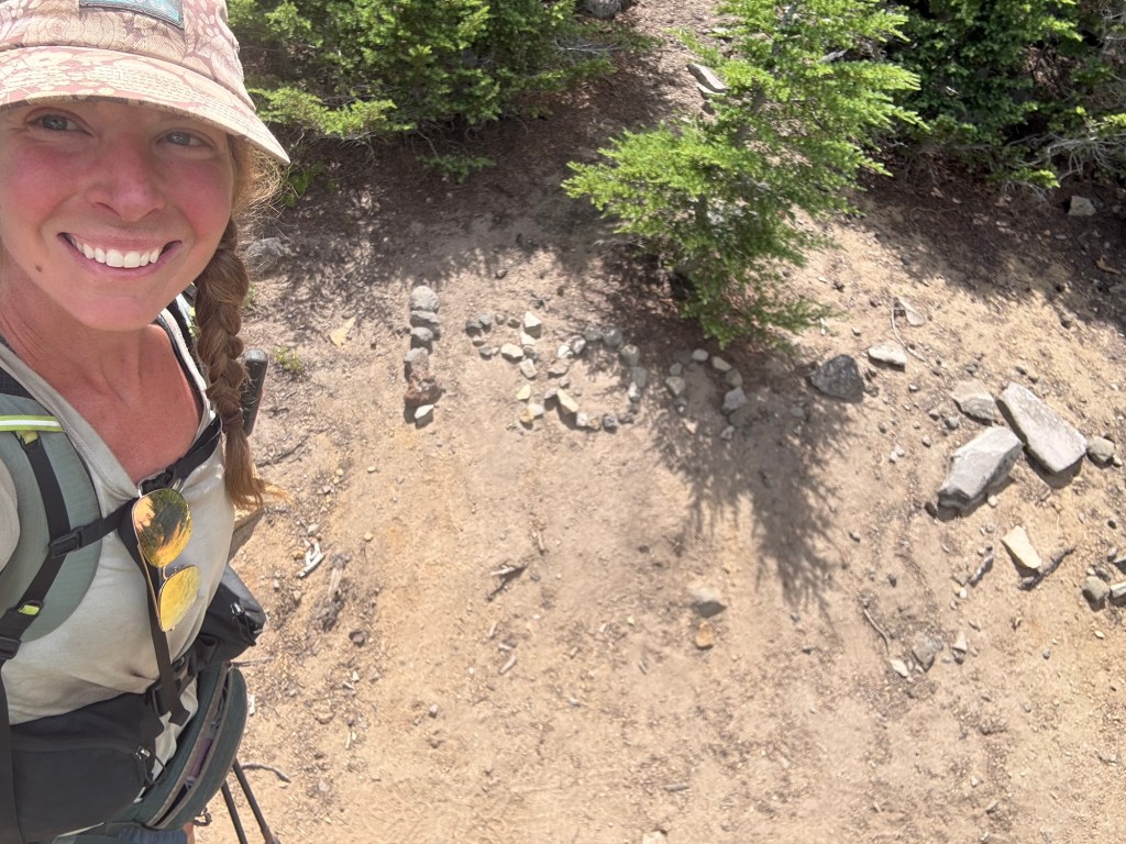
1900(ish) miles

Prior to running into Callie, I received a text message stating that he found out I was ahead. Apparently he had seen that I picked up my package at Crater Lake two days prior. My stomach dropped – I did not expect my location to be found out so quickly, and by a means I didn’t anticipate. In fact, when I signed that I received my package, I thought about asking them to not tell anyone I was there. But I figured that the logbook was secure enough that they wouldn’t allow hikers to sift through it. I’m not sure if he was granted access to the entire book or simply asked if I was there, either way my location was compromised and I was furious as well as scared of what the outcome may be. However, with 56 miles between us and me pulling 30 mile per day averages, I wasn’t overly concerned that he would catch up.
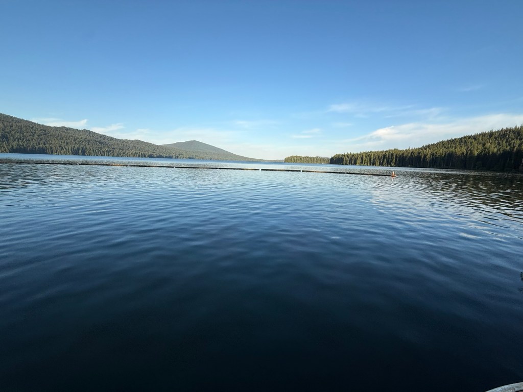
Shelter Covr

I wasn’t surprised to not see many people today – most who camped at the cache decided to take a shortcut that cut off 8 miles of trail. I knew if I wanted to beat them, I had to hustle. So I did just that and completed 30 miles by 4:30pm, a new record. I did beat most of them (it’s not a competition, but I wanted to shower and get a good camp spot) and got in a big dinner that didn’t seem to cure my hunger. I decided to forgo laundry (I’m gross, I know) and wait until I get to Sisters to complete that chore. Though I did scrub off about 3lbs of dirt in the shower.
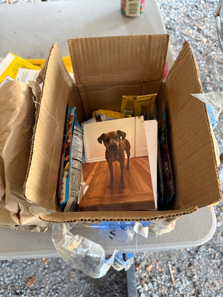
The first thing I saw when I opened the package. What a great surprise.

I can’t even count how many people are camping here tonight… probably well over 20. I’m not a huge fan of group camping and even considered hiking out to camp a few miles away, but already 7:30pm I’ve settled on staying here, after all they have breakfast!
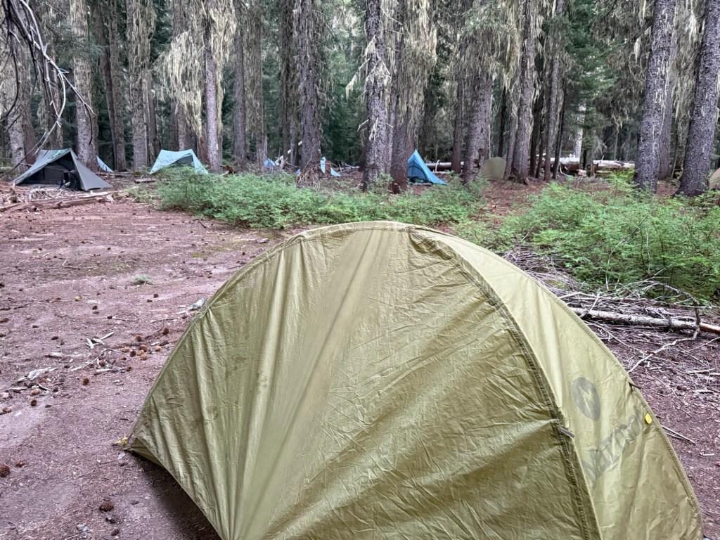
Day 107: July 31; 28.7 miles + 1.5 bonus miles

The moon was once again the bane of my sleep. It seems to always find the exact spot to shine directly into my tent. In fact, in a sea of tents, mine was the only one fully illuminated by the seemingly never waning (or is it waxing?) moon. Other than a neighboring RV generator, it was dead quiet by 9pm. The joys of being surrounded by tired PCT hikers.

I got up early to take advantage of charging and wifi to attempt to come up with a plan for Sisters/Bend. McKenzie Pass seems to be a tough hitch spot, especially now due to wildfire smoke. There’s not much I can do planning wise to arrange a ride, I don’t feel comfortable posting in any trail angel facebook groups at the moment. But after talking with a few people who are getting rides into town from there, I know I will be able to coordinate my timing with theirs to join. They all extended invitations, so I should be okay!

My intention was to get breakfast at the restaurant before heading out. I was disappointed to learn that they wouldn’t open until 8am, but the general store would be open at 7am. I resigned to wait to pick up something small for breakfast before heading out. As 7am came and went, there was a corral of very punctual hikers waiting for the store to open. As the worker opened the door, there was a mad rush to get in, only to be shooed away. Despite the posted hours, they weren’t opening until 8am. Disappointed with how mountain time works out here and annoyed with how much time I already wasted, I grabbed half a jar of peanut butter from the hiker box for breakfast and left quickly with Callie.

During this debacle I received another text alerting me that he knew I was no longer signing trail registers, and would be arriving at Shelter Cove that very day. The text itself felt taunting, I was extremely unnerved. It appeared he was speeding up to close the gap – this meant he was hiking over 45 miles per day in what I felt was an effort to catch up to me. Personally, I did not find these miles per day to be reasonable. Given that the increase happened immediately after he learned I was ahead, I interpreted it as an attempt to close the gap. I felt like I was being hunted down, and I was quite frankly terrified . I did not have time to dilly dally – I had to keep moving or get off trail. So I kept it moving.

I spent all morning and most of the afternoon with Callie, I learned a lot and we laughed a bunch. She is one of the most interesting people I’ve had the pleasure to meet out here and learned so much with our chats. We eventually stumbled across some excellent trail magic provided by Extra and Taylor. Snacks, hot dogs, sausage, eggs, pancakes, and drinks, everything a hiker could want. With a chronically upset stomach, I settled for a hot dog and Sprite. When I took the first sip I almost spit it out – this Sprite sure tastes a lot like a beer! Well, a quick label check revealed it indeed was a beer. Apparently Rolling Rock and Sprite have the same color green can. Well darn, I definitely didn’t want this beer. I told my tale of woe to Pitch Perfect, Snow, Lamb, and Brisket. Snow quickly volunteered to drink the rest of my error, as he was just about to get another. I was happy to trade it in for a Coke.
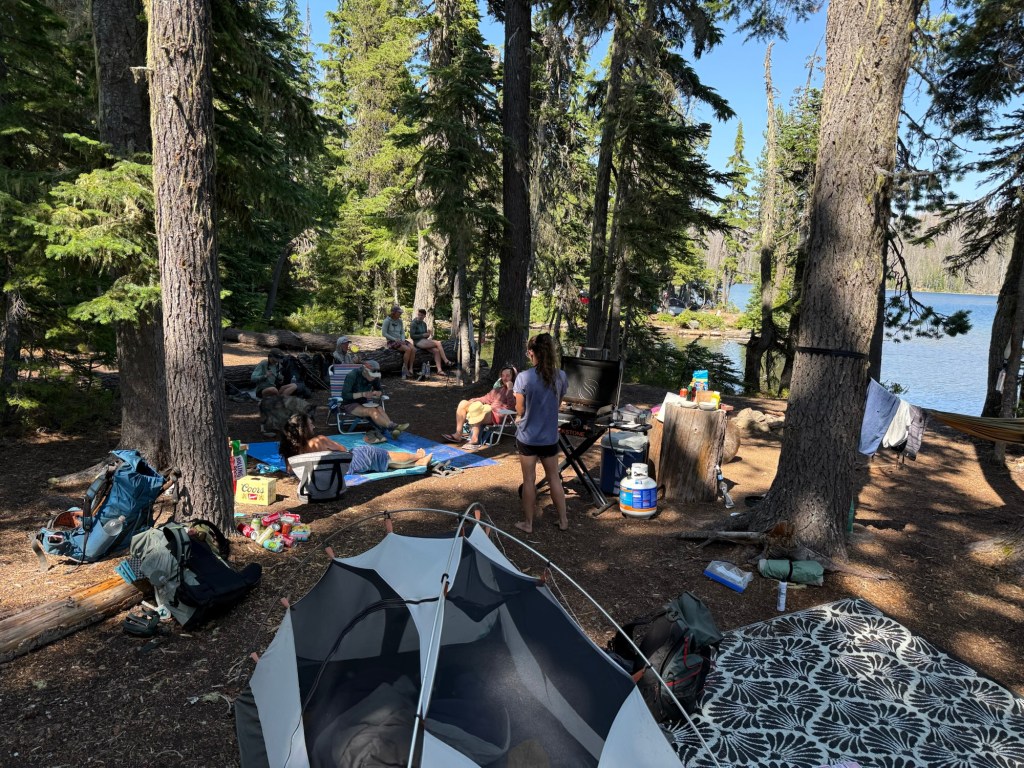
TM!

Already 3:45pm with 10 miles to go and a very unhappy stomach, I rolled out alone to finish the day. Though I started out with Car Fax and Lucky Charm (these trail names are getting out of hand) I knew they’d get ahead of me. And just like that, they did. I was happy to have a couple hours to myself, to really think about a lot of what has been happening recently. It’s been great having people around and making new connections, but being alone certainly has its perks too.
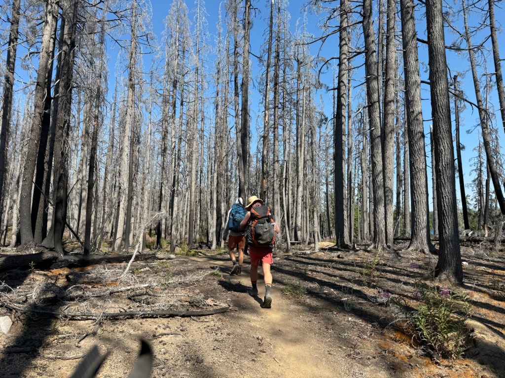
Car Fax, Lucky Charm, and a burn scar.

I got into camp a little after 7pm. It’s a lovely lake with enough spots that people can spread out. After the last 2 nights of being surrounded by people, I’m happy to have some solitude again.
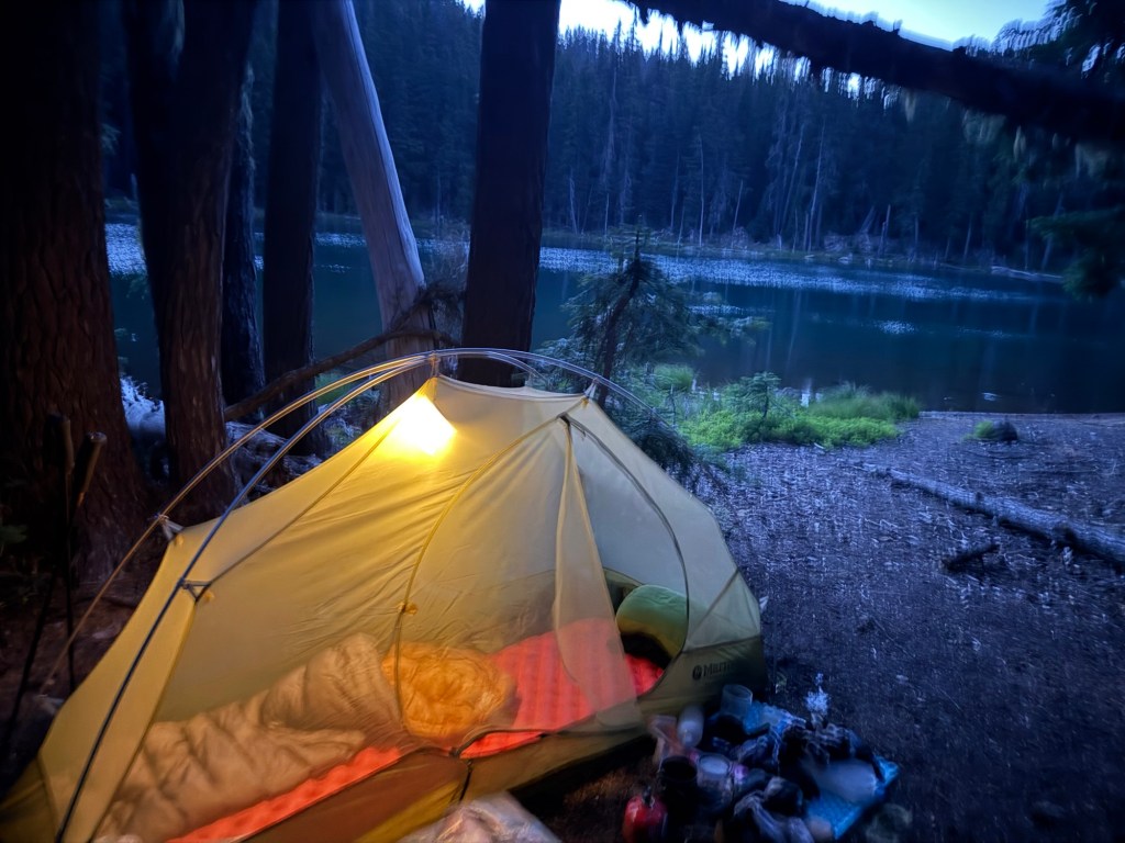
Day 108 August 1; 17.5 miles

I started the day very early to get in potentially 34 miles in an effort to get into town early tomorrow. With a cruisy path, I was making great time. I took break at the halfway point at a junction and called my parents. We discussed possible plans to get off trail considering I feel as if I’m being chased down. Ultimately I decided to continue … it’d be impossible and unreasonable for someone to make up that distance. As I left I received a text from another hiker stating that he indeed did make it to Shelter Cove yesterday. Shortly after that, the very person I’m trying to avoid sent another text that he knew I was at Shelter Cove yesterday morning, was sad he didn’t run into me, he that he hoped see me soon. My blood turned cold. It’s hard to describe without sounding dramatic, but for someone who you clearly told you are not interested in seeing again to make such an attempt to catch up to you by pulling 45+ mile days at a minimum, it’s terrifying. I instantly turned at the junction and prepared to execute the plan. I was getting off trail.

I got a ride with two hikers (I am keeping anonymous) who I met on trail. Their friend lives in Bend and was picking them up. She is a total angel. After a brief synopsis she insisted I stay at her house. Because I was so visibly shaken they took it upon themselves to reach out to the local sheriff’s office when I was in the shower – something at the time I didn’t think was necessary. I didn’t want to create more drama. However, upon talking to the sheriff and seeing how serious he was taking the matter, I was starting to see that something was wrong. My gut feeling didn’t seal the deal, it was the sheriff saying, “get off trail immediately” before I even could say hello. The relief in his voice when I told him I was already off trail in a private residence was eye opening.”I knew that there were no direct threats made and no official orders could be filed. The sheriff told me that, in his view, the situation was bordering on harassment and stalking, and he advised me to get far away from him

I had a lovely evening with the everyone, truly getting me to forget about such a horrible day. I even got to see a reenactment of my favorite most memorable FarOut comments about the Piss Deer, totally ignorant that I was with the author! I was in the presence of royalty! I hadn’t had a good laugh like that in quite a while. I will be forever grateful for the kindness and advocacy of these once strangers.

Day 109: August 2; 6.1 miles

I headed out at 8:30am to execute my plan to keep distance. I said goodbye to everyone. Trail Angels and Trail Magic are so much more than people who give you free rides or free soda… these people exemplified the true meaning of angels and magic. Barely knowing me, they saw a woman in distress and made sure I was safe, fed, advocated for, and had a comfortable bed to sleep in. This is true trail magic. They are true angels. The couple whose house I stayed in are going to make incredible parents, and I really hope to run into the other hikers again on the trail.

I headed to the airport to pick up a car to drive back down to Ashland to complete the 50 miles I skipped. Having not driven a vehicle in almost 4 months, I was worried I was going to be a bit rusty, but a Jersey driver never forgets. In fact, when coming down a windy mountain road, I felt like a local yelling at the tourists who don’t know how to drive. Stop all that silly braking!!

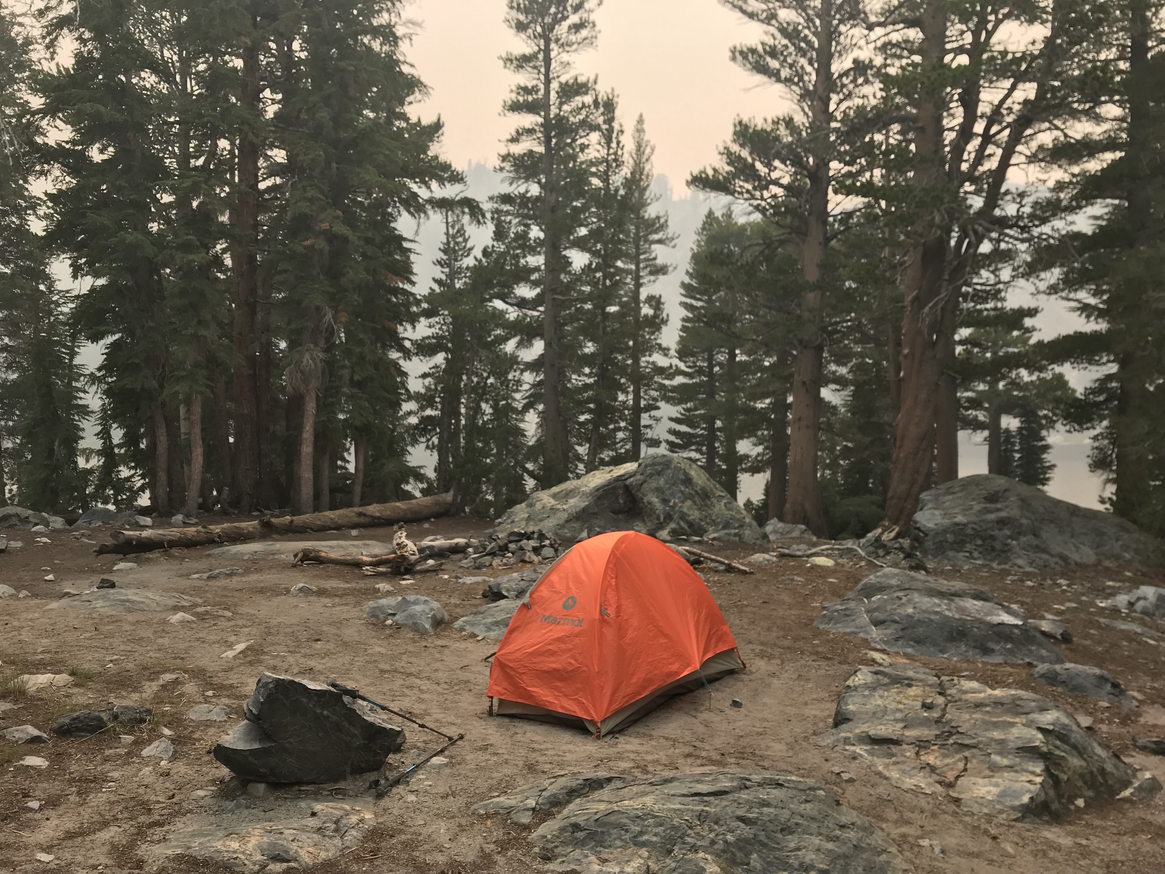
I got into Ashland with just enough time to ship back my old tent and ship up a resupply package to Timberline Lodge. I am the only person with a Marmot tent on trail, making me super identifiable in a sea of Durstons. Wanting to maintain anonymity, I bought the cheapest ultralight one person tent REI had. I hate doing that without putting any research into it, but you know what they say about desperate times. I also called Timberline Lodge to ensure they keep their pickup logs private, as that seems to be the number one reason he knows my general location. The man on the phone ensured me that they maintain privacy and there is no way any staff member would reveal private information. Fingers crossed.

So after doing all that, I returned the car and got an uber back to Fish Lake to take the trail SOBO. I figured it’d be easier to hitch back to Ashland than getting a hitch or uber out of Fish Lake, a remote resort.

It was already 5:30pm and the first potential campsite was over 6 miles away. So off I went. It is so weird going south. The maps are not made for SOBO hikers, putting mile markers and direction completely off. The comments all are in NOBO numbers, forcing my brain to constantly perform gymnastics to make sure I know exactly where water and camping are. It’s certainly a NOBO’s world out here! But like anything else, it’s all temporary and I’ll be making my way back north soon.
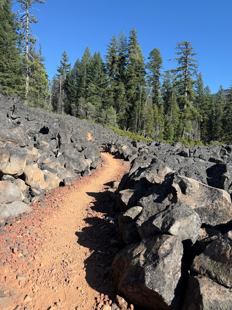
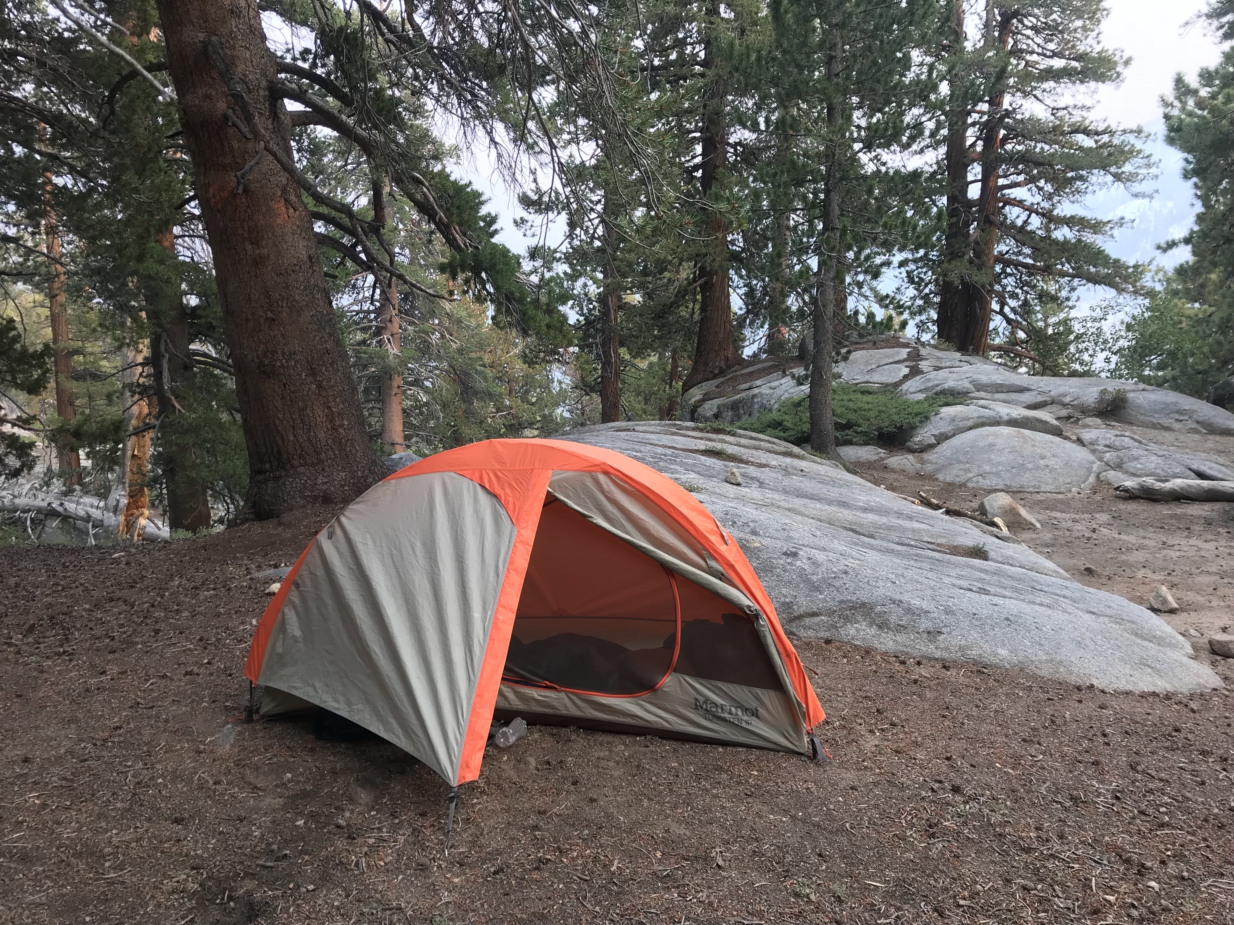
The tent I bought certainly isn’t my favorite. It opens from the head of the tent, not the side. I have way less room under the vestibule to spread out my stuff (if you know anything about me my pack explodes the instant I stop, I need a lot of space to spread it all out!) and it makes my Marmot feel like the Taj Mahal. People always say 1 person tents feel like coffins. I never thought that about my Marmot. But this tent? Absolutely. It’s so tiny. But alas, I’ll be done this trail soon and I will have Addie and the safety of my bed to look forward to.

There is so much up in the air. If I continue to feel hunted and scared, I will likely exit the trail and go home. This has already tainted so much of the trail for me, but I’m also not willing to let someone intimidate me to leave something I’ve worked so hard to achieve. But I know my mom (my dad, family, and friends too, but mostly my poor mother) is beyond worried for me, and it may be time to stop being selfish and do what’s right for the people who love and worry about me. Regardless, the northern terminus won’t be open by the time I get there. So no matter what I’ll be home much earlier than I had planned or wanted. Whether that’s next week or early next month, the next few days will determine my next move.

Day 110: August 3; 30.9 miles

The wind picked up in a big way overnight and the new tent just loves to flap around. It was very distracting, pulling me away from my much needed sleep. I haven’t needed ear plugs in a while, but found them quickly and they worked like a charm – I was out like a light.

Because I’m going SOBO just for a few days, I’m going against the flow of traffic. During the short walk yesterday I saw 10 hikers. You feel a little like a celebrity going south… a bit of a rarity for the NOBO hiker considering not many SOBOs have made it this far south yet. With the enthusiasm of a deer about to indulge in pee, their eyes get wide with glee asking how the journey has been. It’s a bummer to pop their bubble with the old, “I’m only a SOBO a couple of days!”
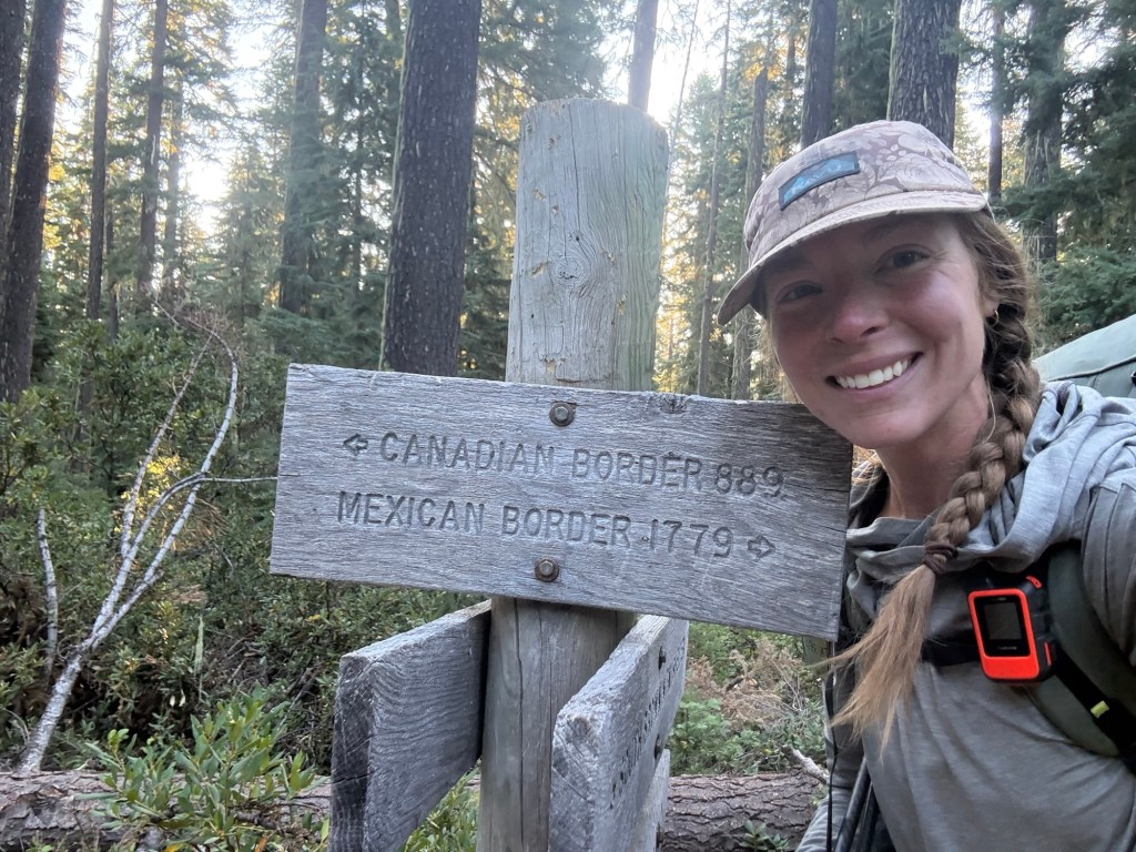
Whoever made this sign is clearly a Lord of the Rings fan – everyone knows the mileage from Hobbiton to Mt. Doom is 1779 miles! I walked the same distance as Sam and Frodo.

Today I was determined to count all the NOBOs, but lost count by 11am at 75. By the end of the day it was well over 100. Of those 100, I would say 75 I recognized and 50 I had a conversation with. Notable run ins were Dean, Tea Time, German Couple, Stallion, and Oats. Most were confused why I was alone and going the wrong way, which was complicated to answer without giving away too much information. Either way it was so great to see faces I haven’t seen since the Sierra, knowing that they’re still on trail having (mostly) great time.

When filling up water, I overheard that there was trail magic just a mere 17 miles down the trail. Having already done 16, I was bound and determined to make it. Already 12pm, I knew I had a small window to get there by 6pm, when they wrapped up. Stopping to talk to everyone, though worth it, really slowed down my pace. But with a 2.6 mile road walk shortcut, I wasn’t too worried that I’d be late.

Am I a fan of shortcuts? No. Not at all. I try to avoid them, but the mind can be weak when the body is tired and root beer floats are hanging in the balance. I’ve taken a few shortcuts but really try to avoid any that would short more than 4 miles. Sure, it’s still a continuous foot path, but I want to try to stick to the trail as much as possible.

But like I said – there were root beer floats hanging in the balance. With gusto and determination, I think I set a new speed record for myself. In fact, I ran into Albie about 4.5 miles north of the trail magic. He introduced himself and let me know there was trail magic up ahead. “I know!” I exclaimed, “that’s why I’m hustling!” He’s one of the three men who provide the magic. I let him know I’d be there at 5:30, only an hour and 15 minutes away. When I got there huffing and puffing and in desperate need for ice cream, he was shocked I made it in time. “I told the guys we weren’t leaving till you got here! I didn’t think you’d make it till after 6!” Well, at least I had confidence in myself!

Jim, Ron, and Albie have been providing root beer floats to hikers for at least a week and will be going until the 15th. The trail goes through Ron’s property and he loves meeting hikers and we love his root beer floats. There were a number of us there, consuming a never ending supply of sweet and cold goodness. A few faces I recognized and caught up with.
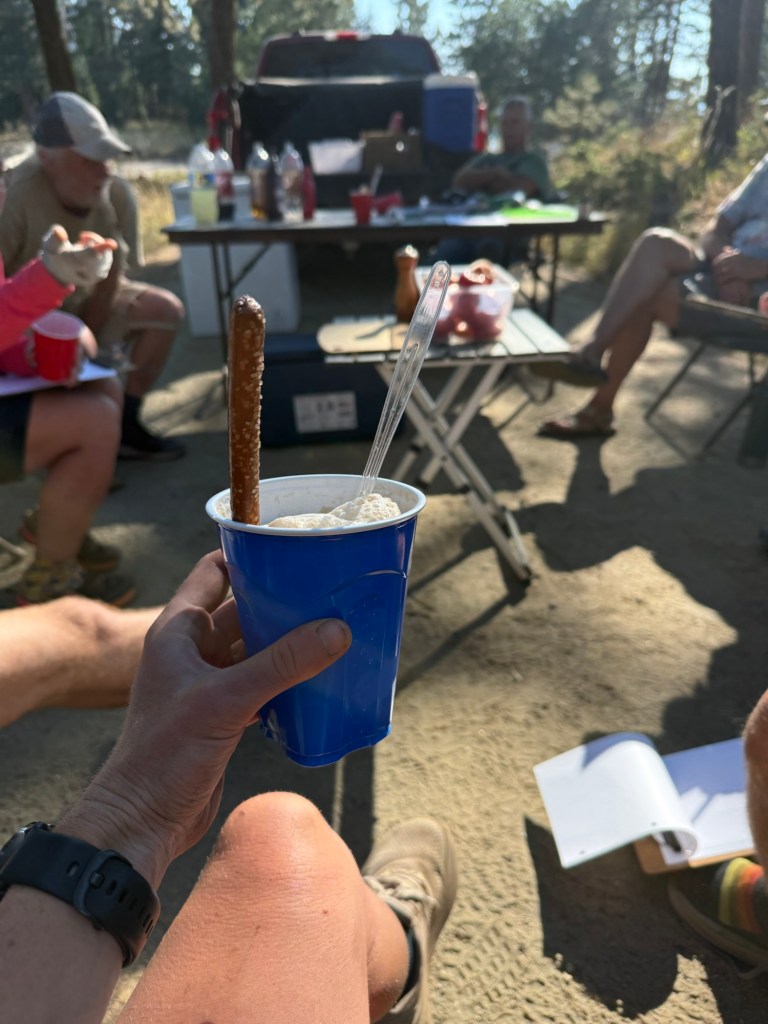
Worth it.

But alas, though Albie offered me a room in his home and Ron a place to camp in his yard, I wanted to give the tent another shot and so off I went for another few miles, belly full and happy. I ran into a bear along the way, no doubt enjoying the abundance of blueberries, and so I decided to keep going a little farther. I found a perfectly good flat spot around 7:30pm and decided to call it quits. I’m too tired to cook, and besides I’m full off of floats anyway. So it’s off to bed for a short day back into town tomorrow to see what may come of it.

Day 111: August 5; 14.2 miles

I slept in a little… if 4:45am is sleeping in. The wind once again made itself known middle of the night. It’s mostly irritating because it sounds like little critters are rustling about, eating either my pack or the tent. But they kept their distance and I just had a minorly restless night’s sleep.

With short distance I wasn’t necessarily in a rush to get back into Ashland, but did need some time to plan out my next move. Whether it was back to Bend, up to Washington, or home, it had to get figured out.
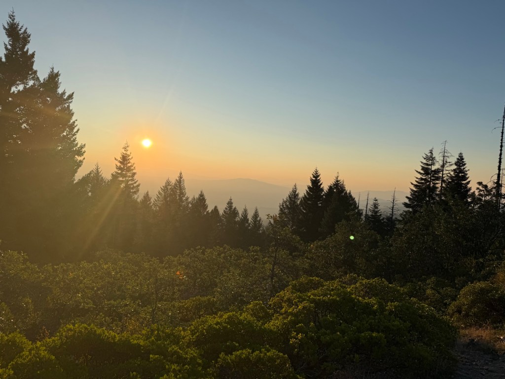
The hike itself was pretty awful. I had no energy and I just wanted to be done. I blame how hot it got yesterday. I don’t think I realized how overheated I was, and I didn’t drink nearly enough water. There is a current heat wave where temps are approaching 100F. Maybe I’m ignoring it, but it’s not ignoring me. I kept having navigation mishaps that I blamed on reading the map backwards (I’m so used to going north, reading the map as a south bounder is really throwing me off), but I really think the heat got me.

I got to the road at noon. I sure wasn’t breaking any records. Now I just had to get a ride into town. I approached a woman who was surrounded by hikers. I asked if she was giving rides. She was, but her car was full. No problem! As I left the group a car pulled over and offered a ride! I didn’t even have to stick out my thumb.

Kathy lives in Ashland with her husband, John. Her mom just passed away last week but she spoke of the event so positively. At 89 her mom lived a long full life and decided to pass on her own terms. She was content and ready for what comes next, and was particularly excited to see her husband again. Having worked with folks at end of life, there is something beautiful (not at all sad) about being ready leaving this world after leading a full and happy life. If only we all could be that blessed.

After talking a bit in the car, Kathy wondered how I knew so much about Ashland. “Well,” I explained, “it’s my third time here” “What?!” She was shocked. I briefly explained what’s been going on and she insisted that I go to her house to plan. She refused to drop me off at a coffee shop in town and next thing I knew we were pulling into her driveway. She has a beautiful home with an unbelievable backyard that houses goats and horses. It’s so beautiful, in fact, her son got married there in June and her daughter will be doing the same next May. I asked if I ever get married can she can host – she said absolutely. At this point she’s a pro wedding planner!
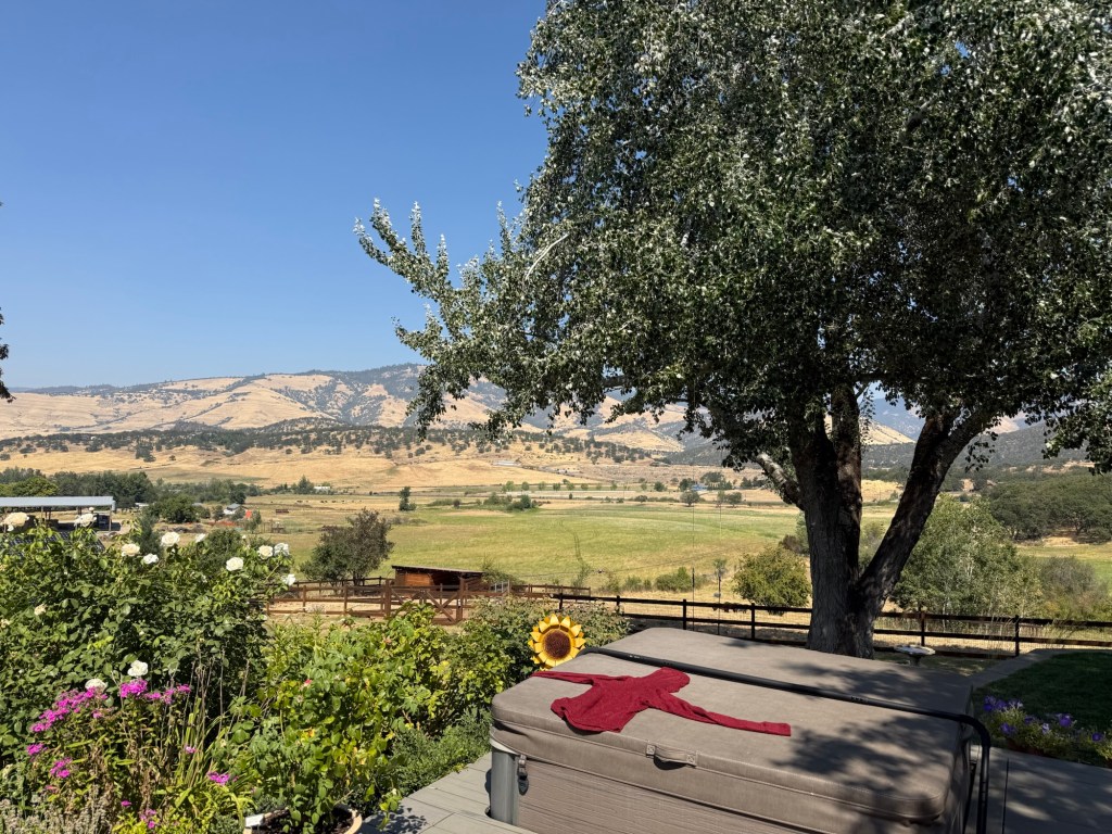
The backyard of dreams

Kathy insisted I eat, shower, and do laundry. Her friend Susie stopped over and they both convinced me that skipping up to Washington was the best move. So, mom and dad, you can thank Kathy and Susie for talking some sense into me. My parents age, they were a hoot to hang out with. You can tell they are genuinely kind and caring people – I mean look how they took in a poor hungry hiker! It’s a shame to know I’ll never see people like Kathy or Nancy (from Shasta era) in person again. But I plan on sending a bunch of postcards/letters/texts when I’m done this thing, wherever I end up.

The plan was made, I was going up to Washington. After saying goodbye and a million thank yous to Kathy, I got a rental car and started the drive. Already late afternoon with a needed resupply stop, I decided to only go halfway up to Portland and stop in Oakland at a cute little motel.

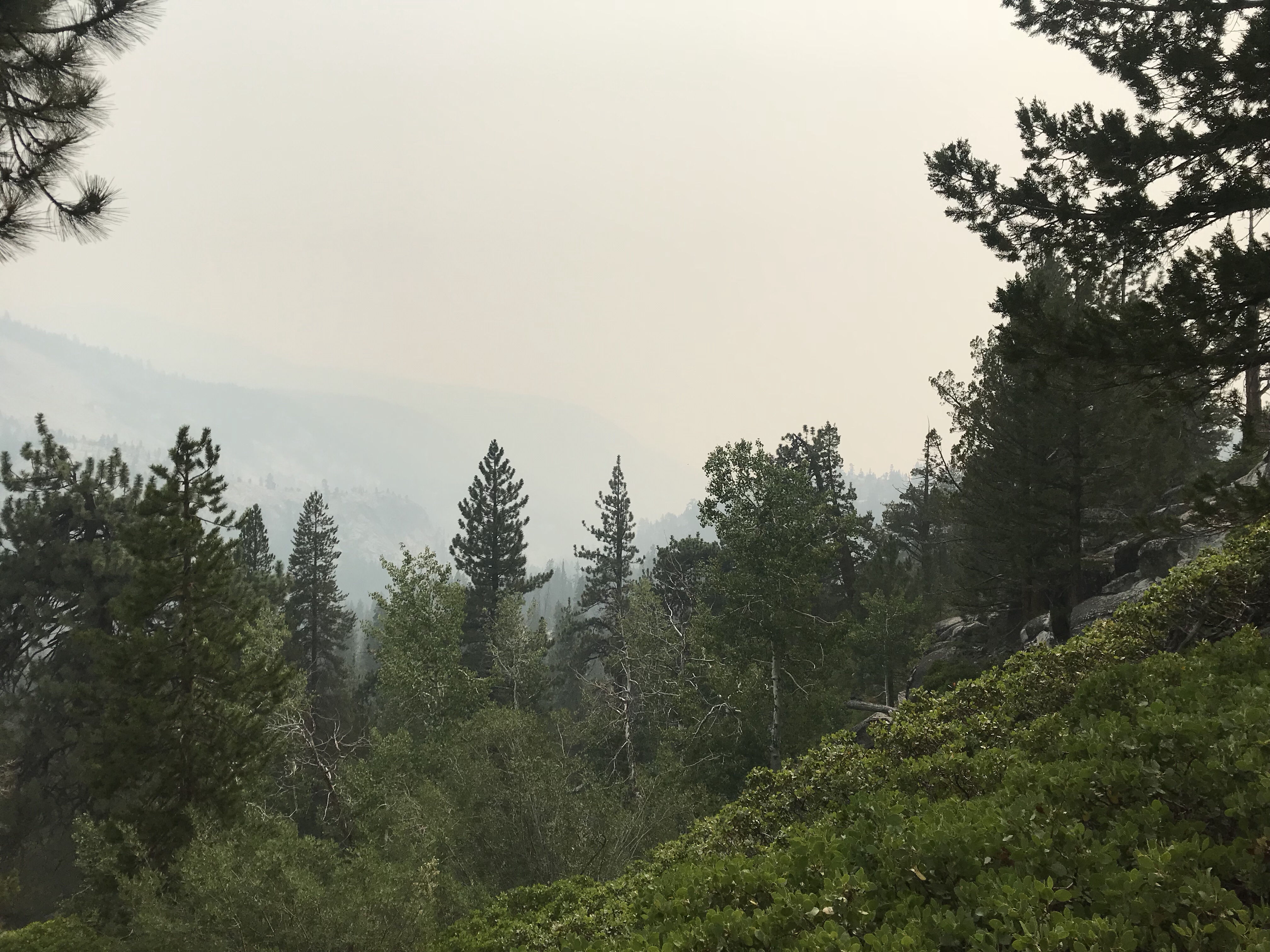
I haven’t spoken much about the smoke situation, but it’s been a constant presence for the past week. It’s progressively gotten worse the further north I go. A new fire seems to be popping up every day. A lot of hikers are sheltering in place, some even opting to go home considering the terminus is closed. Sure it’s not the end all be all, but it’s a huge bummer to not be able to sit atop that monument in victory, having completed the journey of a lifetime. But that’s just is what it is.

I thought about this a lot during the drive up to Oakland. I couldn’t possibly imagine this is how the last few hundred miles of my thru hike would look like. I could be angry and bitter at the hand I was dealt, but it’s my journey. We all have different experiences out here, this just happens to be mine. It’s my story, and I either can accept it and complete it on my terms, or let it consume me. Adapt or die is one of my favorite phrases, and I’m trying my best to adapt.

Colorado Trail: Getting Ready

It is shocking to me that my last big adventure was 3 years ago. I was deep in the Tahoe wilderness questioning why I brought my poor little pup on such an ambitious trip and desperate for a plan to bail her out. Luckily, all things considered, it all worked out and Addie is back to her happy little self and the failed trip has not dampened my love for adventure. In fact, after a relatively quiet few years, that itch for adventure has returned and the only cure is another grand trip! After floating around the possibilities, I boiled it down to three options – a Northern Tier bike tour, an international thru hike of the Tour du Mont Blanc, or keep it domestic with a Colorado Trail Thru hike. My love for the great West won, and soon I found myself knee deep in the logistics of planning a nearly 500 mile trek from Denver to Durango CO.

While I always knew the Colorado Trail existed, I never took much time to look into it. While setting out for the 2022 Four Passes Loop hike, I ran into 2 Colorado Trail (CT) thru hikers in Alma. I didn’t want to bother them too much, so I asked a few brief questions. Afterwards, I did a quick google investigation and right then and there I determined eventually I would attempt to conquer the trail. Maybe I didn’t forecast this would happen 2 years from then, but no time like the present!
What is the Colorado Trail?

The CT is a (for my personal thru hike) 491 mile thru hike starting in the outskirts of Denver and ending in the San Juan mountain town of Durango. Climbing over 90K’ vertical feet with much of that being over 10K’ of elevation, it is quite the endeavor for any level of backpacker. Born in 1974 and completed in 1987, the trail originally took hikers east of the Collegiate Peaks Wilderness, but like all things, it evolved in 2012 to include an alternate route through the Collegiates, known today as the Collegiate West alternate. The trail wouldn’t be what is it today without the passion of the Colorado Trail Foundation and its devoted volunteers. A trail of this length obviously requires a lot of logisitics and planning to complete, but luckily there is no shortage of trail towns along the way who offer supplies and rest for a weary hiker!

Trip Planning

My biggest concern for taking on a trip of this magnitude initially was logistics. Luckily, I am no stranger to complicated logistics and thankfully for me, though the CT is over double the distance of the JMT, planning this hike is much less complicated.

For my trip planning, I utilized The Colorado Trail Guidebook that I purchased 3 years ago, the Colorado Trail Foundation website (truly, all the information one needs to plan a CT thru hike is in there), and various blogs/vlogs from those who have completed the trail. From that wealth of knowledge, I boiled down a rough plan for a 5 week journey. A trip this large it’s nearly impossible to plan day to day itinerary. While I was able to for the JMT (more out of logistical necessity), the stress of having a daily schedule to keep up with can be a distraction and has the potential to take away from the spontaneity the trail can bring. The major things I had to be aware of were resupply towns. Fortunately, the trail does have towns relatively close that are accessible by either a short hike off trail or easy to get hitch. With full services, I can shop in town and not have to worry about shipping a resupply box – that is, with the exception of one. And I’ll get into that shortly.

5 weeks alone on a trail can get pretty lonely, so I shot a message over to my favorite adventure buddy, Sheena, asking if she was interested in joining me. Never one to turn down an adventure (in her home state none the less!) Sheena obliged and I’m so grateful and excited I’ll have someone to bask in the beauty (and pain) with.

We’re back!

Originally I debated driving out to CO. Not wanting to risk delays or lost luggage because of recent nonsense with airlines and loving long drives, I was going to take a leisurely scenic drive out to one of the most scenic places in the country. But alas, plane tickets and a family trip the weekend before our start date nearly forced me into flying. I already shipped out my food and majority of gear out to Sheena in Leadville (shipping cost more than the plane ticket – d’oh!) and will just carryon the rest on the plane.

Trip Prep

500 miles is no joke! The longest I have completed is the JMT, and like I previously said, the CT is over double the mileage. Not wanting to haul Big Booty Judy over all the mountains Colorado has to offer, I decided that I needed some gear change. I have slowly replaced most of my old heavy gear with new ultralight gear that makes life a little easier. This old body no longer can handle a 45lb pack and anything I can do to hedge my bets at completing this trail I’ll do.

So I now have a 55L Hyperlite Mountain Gear Southwest pack, a Sea to Summit ultralight sleeping bag, finally gave in and got a Sawyer Squeeze filter, a lightweight food storage system, and decided to trade in my clunky hiking boots for trailrunners. Theoretically, when all is said and done, my gear should be weighing ~12lb not accounting for water or food. Not bad when compared to my previous set up!

Gear pic! Addie unfortunately not included.

All this new gear gave me a good excuse to get out and test it out! Thankfully, Addie is great at processing trauma and didn’t hesitate to join me on a shake out hike out in Loyalsock State Forest in PA. We did a 2 night 26(ish) mile hike through the beautiful landscape and really put the new equipment through the ringer. Outside of slow miles with a senior dog (really just my own excuse, I had a severely painful foot I hobbled through those miles with, thank God for trekking poles), some really loud owls, a loud thunderstorm, and caterpillars raining from the sky, it was a great trip to take with Addie before leaving her for so long.

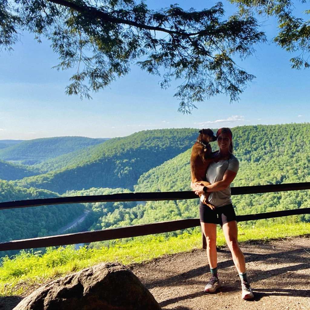
Addie and me at World’s End State Park – the trail goes right through it!

The pack was amazing, carried everything perfectly and felt so light, even with 5# of dog food. The trailrunners were light and bouncy, even with what I can only imagine was a fractured foot (the pain was nearly unbearable!). And I kicked myself for not hopping on the Sawyer train earlier – what an incredible piece of equipment! It made me feel so secure and comfortable with the new replacements and ready to tackle on the mountains in CO.

Okay, so what exactly is my plan?

Heck if I know! Like I said earlier, a trip of this magnitude cannot be strictly planned out. All that is set in stone is our first day has to be longer than 7 miles due to camping restrictions, we are choosing the Collegiate West route (barring any unforeseen circumstances), and we have to get in our miles early because of afternoon storms. Having experienced monsoon season on the JMT and gone through some of the most terrifying storms above treeline in the Sierras, I would prefer to not repeat this again out in CO. From what I’ve read, everyday around 2pm you can (and should) expect a storm to roll through – so just like the JMT!

Initially I wanted to just bust out miles everyday to complete this trail quickly, as I worry about my mental ability to stick it out for 5 weeks. But that all changed when Sheena accepted my offer. Having a good friend come along and share this experience with will only add to the magic of the trail. 25 mile days only sound more appealing if doing them alone. So the plan now is to start out conservatively and start tacking on longer mileage days once our trail legs develop. All in all, I am expecting this to take 30-35 days in total, including zero days. There are also opportunities to bag some 14ers, as some of these peaks are right off the CT! While this goal is likely to change depending on how tired the trail makes me, I really want to try and climb at least Mt. Elbert, as it’s the peak that my carved wooden Welcome Bear Bert I got in Frisco is named after!

Those bittersweet zero days! I remember feeling so guilty taking them on the JMT and just itching to get back on the trail. I’m sure the same will be true for this. Right now, our resupply stops are looking like Jefferson, Breckenridge, Leadville, Twin Lakes, Salida, Lake City, and finally Silverton. We certainly don’t want to have long food carries, so any carry longer than 6 days is not ideal. Wanting to have lighter back, hot food, and potential for a rest day will certainly hasten our pace to get in the miles for a resupply or zero day!

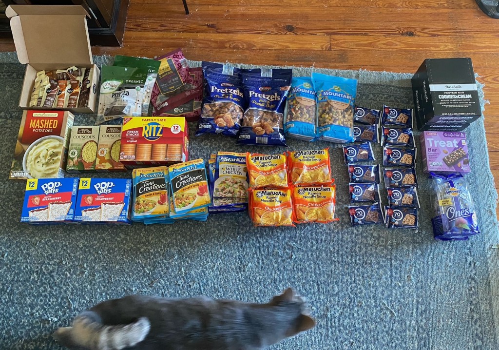
Speaking of resupply, this is the trail food I’ll be chowing down on! Though with shopping in towns, this is bound to look different with each resupply stop.

And thus we have it. My flight is scheduled, everything is shipped out, the animals will be properly taken care of (new addition to the pirate crew, Missy the tripod cat!), and the start date is set. We will be starting the trail July 18, just one day after the 6 year anniversary of my start date for the JMT! Wish us luck and peace from the bears and thunderstorms!

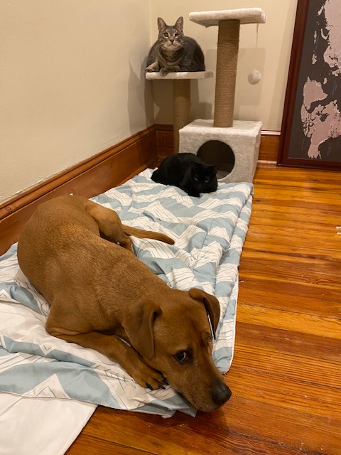
Obligatory pet pic! Missy brooding in the background is the newest member of the Pirate Ship. Missing one leg, she is slowly but surely becoming a defining member of the pack.

Four Passes Loop (Colorado) 2018

Fresh off the John Muir Trail, I had a choice to make. Either go back to work or join my dad and brothers on a backpacking trip in Colorado. Was it even really a choice? I still had my trail legs and didn’t even have to unpack Big Booty Judy. Besides adopting Addie, this was the easiest decision of my life. I purchased a flight and soon found myself in Denver heading over to Estes Park to start the acclimation process.

My dad took it upon himself to fully research The Four Passes Loop. For the first time in a long time I didn’t have to worry about logistics, camping spots, or mileage. I put my full faith in my dad’s apt ability to make sure everything is planned down to the very minute. And considering he’s the one who taught me everything I know, I trusted him implicitly! And it felt pretty great to just go along for the ride (or really the hike) without all the headaches that responsibility brings with it.

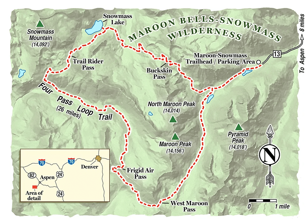
Four Passes Loop Trail map. We were headed clockwise.
https://scoutingmagazine.org/2016/08/plan-backpacking-trip-colorados-four-pass-loop/

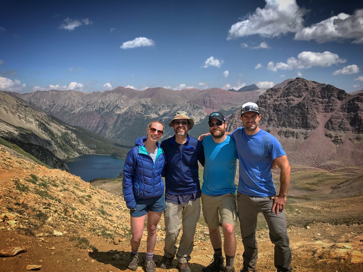
The Four Passes Loop is one of the most sought after loop trails in the United States. a 27 mile loop trail near Aspen CO, the trail takes a hiker over (you guessed it…) four passes around the Maroon Bells. Because I did zero planning or research, I really had no idea what I was getting myself into. However, I wasn’t really too worried since I figured if I could handle the JMT, a 4 day low mileage hike should be a walk in the park. I didn’t look at a map or elevation profile. Looking back at it, maybe I should have. But it was also thrilling going in totally unaware of what challenges I might encounter.

Elevation Profile Four Pass Loop
Elevation profile I should have studied before setting out.
http://hikingwalking.com/index.php/destinations/co/co_cent/aspen/four_pass_loop
Typical Keane photo

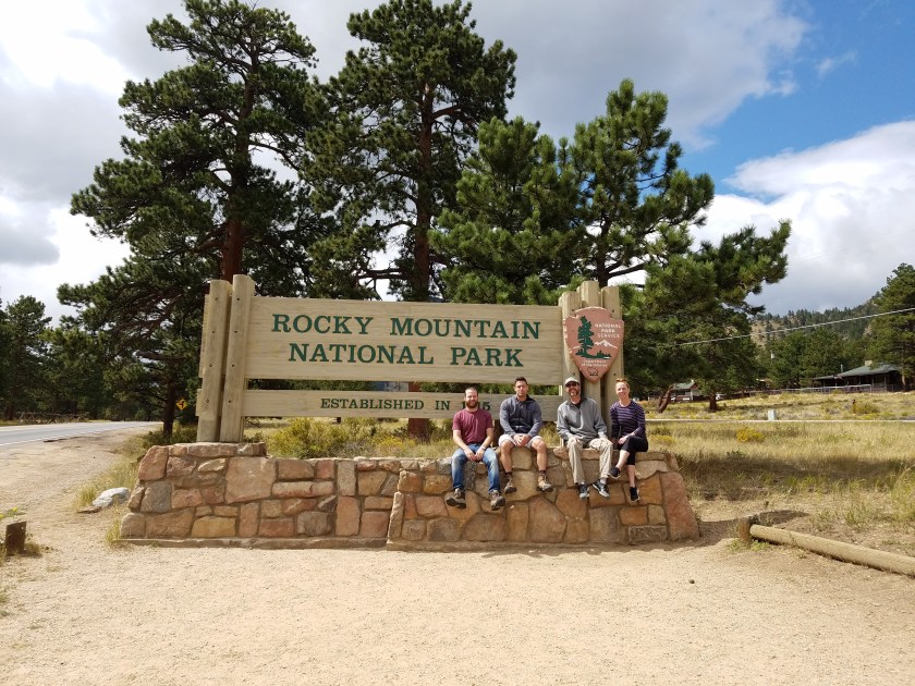
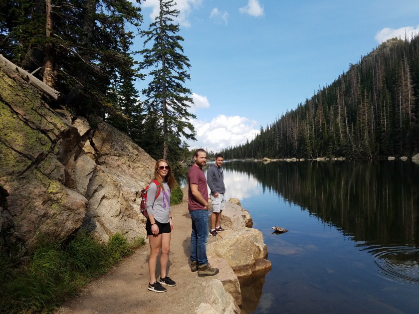
The first day in Colorado we all hiked in Rocky Mountain National Park to acclimate. Even though I had just previously spent 3 weeks at altitude, I was worried that being home at sea level for 2 weeks knocked out that advantage. Having suffered so much from altitude sickness the first few days of the JMT, I wanted to avoid nonstop vomiting and praying for a less painful death at all costs. I was more than happy to spend some time at altitude taking in the scenery of RMNP. The first day we hiked out of Bear Lake Trailhead and headed up to Emerald Lake, an easy first day trek of just 4.1 miles.

Emerald Lake
Heading back down from Emerald Lake

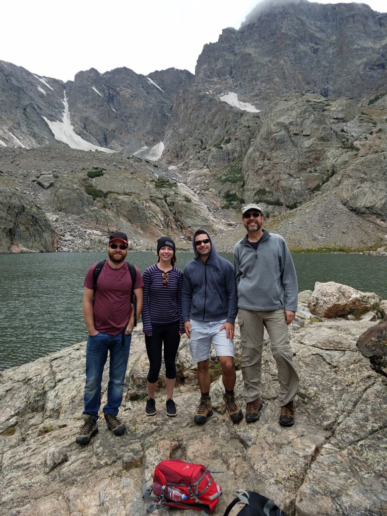
The next day we upped the ante and tackled the Sky Pond trail, an 8.5 mile climb that was a lot more technical than I had anticipated. We had to climb up a 30′ water fall full of other eager hikers. The weather wasn’t exactly our friend once we reached the highest spot, with cold gusty winds that threatened to soak us with rain, but it was beautiful. And being close to 11k’, we all did very well and felt confident that we were ready to set out for the Four Passes Loop.

At Sky Pond
Nothing better than those Colorado views!
Cautiously climbing down the waterfall

Realizing that the weather in CO can turn cold pretty quickly and all of us packed shorts, we stopped at REI to grab pants. I also remembered last minute that my air mattress failed the last few nights of the JMT. Not wanting to spend 3 restless nights being jabbed by rocks and sticks, I quickly picked up an ultralight mattress. I was slowly but surely on my way to becoming an ultralight hiker – ha!

And so it was time! Because it is such a popular spot and is threatened to be loved to death, the rangers have rightly attempted to control visitors by shutting down parking lots between 8am and 5pm. If you arrive between those times you’ll be turned away and forced to take an expensive shuttle into the park. We just made it and luckily for us we found a great parking spot in the overnight lot! We filled out permits (who knows how long a non-lottery permit system will last) and we set out, just as clouds were rolling in.

The journey begins!

We spent some time at Crater Lake taking in the views, getting to see why it’s one of the most photographed places in Colorado. We weren’t the only ones enjoying the beauty. There were loads of day trip tourists, one of whom scored a scolding from my dad for flying a drone.

We pressed on as the clouds rolled in and the temperatures dropped. Soon it was quite cold and the wind was really picking up. I was worried that if it poured we’d all get hypothermia and die. Yes it was August, but once temperatures hit 60, if you don’t get dry and into a warm spot, you’re vulnerable to succumb to the effects of hypothermia. While a farfetched scenario, considering we all had pretty decent sleeping bags, I was still fearful. Or at least really unwilling to be uncomfortable for a night. I pushed that thought into the back of my mind and pressed on.

Starting to feel the chill

Along the way we met John and his dog, Sadie. Being a dog friendly trail, I was sad Addie had to sit this one out but I was happy to see another four legged creature loving life. We talked to John briefly and then proceeded to find a camp for the night a few miles down the trail. After much debate, we settled on a spot right when it started to rain. John caught up with us and set his tent in the same spot as ours. We set up our tents quickly and sought shelter. Soon the rain eased and we ate a quick dinner and got to know John better before it started right back up. The rain didn’t stop the whole night and we were stuck in our tents until the morning, something the JMT trained me well for.

Having a blast in-between rain soaks! John to the right.

The morning didn’t show much promise. The higher elevations was covered in snow and the rain didn’t stop down where we were. We were all cold and wet, miserably eating our breakfast trying our best to dodge raindrops. The first words of doubt started to bubble up in conversation. John and Sadie decided that the weather was not in their favor and the poor forecast forced their hand at heading back. They said they’ll try to attempt it in a few days in clearer weather, but going counter-clockwise. If they succeeded in waiting out the weather, we would likely see them again towards the end of our journey.

We packed up our wet tents and slogged forward. The rain did ease, but being cold and wet I was still worried about hypothermia. We soon spread apart, with Tom and Chris taking the lead and me sticking with dad. I could tell he had doubts about the safety of marching forward, as did I. My damp hands were already white and wrinkled and my toes were losing sensation (not super uncommon for me). The boys stopped and we caught up. Dad verbalized his concerns and we all held court, weighing the pros/cons of continuing the journey. Arguably the smartest of the Keane siblings, Tom whipped out his phone and opened a coin flip app. Brilliant. We decided our fate would be in the hands of Tom, literally, as we let the coin dictate our future. Lo and behold, the coin flip gods determined we were to continue on! Without debate, we did just that.

We had two passes to traverse this day, West Maroon Pass and Frigid Air Pass. With the surrounding mountains shrouded in clouds and fog encroaching in on us, I felt as if I was on a mission to cast the One Ring to Rule us all into the fiery depths of Mordor in attempt to save the world from falling into darkness. I enjoyed it and was happy with the decision of placing our future on the fickle whims of a coin.

West Maroon Pass was relatively easy, it’s approach reminded me a lot of the southern face of Pinchot Pass on the JMT. I got up it relatively easily and waited for everyone else to join, getting pretty cold and miserable in the process. Again, the weather did not give way for too much of a view, so we caught our breath and marched for Frigid Air Pass, only a few short miles away. We descended from West Maroon Pass and walked through a lush green valley.

Thrilled by the view!
Breathtaking!
hiking down from the pass gave us a taste of what we were missing out on.

We stopped at the lowest part of the valley for lunch/snacks. Completely oblivious and not dong my usual pat down to assure myself that I have all my things, we set forth. 10 minutes later we heard people yelling towards us. Being so far away, I could only make out the word “phone!”. I did the pat down I should have done half a mile back and realized my phone was amiss! In a panic, I dropped my pack and instinctively ran towards the group, running as though I was attempting to beat my best 800m time. All my photos from the JMT were on that phone that I had yet to upload. If I lost that phone, gone were those memories and I would have been totally devastated. That phone was like the holy grail to me. I realized how truly lucky I was that these folks found my dear device and thanked them immensely. We saw so few people on the trail that it was as close to a miracle as anything else that they came across my phone.

The site of the missing phone, before it went missing.

Thinking Frigid Air Pass was going to be a piece of cake, I soon ate that cake when we came to the last 100m of the pass. It was straight up. And on loose, wet dirt it was like hiking 45 degrees up sand. At points using my hands, I distracted myself with thoughts of “why would they name a pass out here after a refrigerator??” I didn’t even think maybe it was because the air is actually literally frigid. That thought and other creative names I would’ve came up with to name this beastly pass fueled me up, along with Chris laughing at how ghastly and ridiculous the climb was. We all rejoiced at the top of the pass, thinking surely this is likely to be the steepest and most difficult of the passes. Famous last words.

All smiles after finally being done with that final climb.
Atop Frigid Air Pass
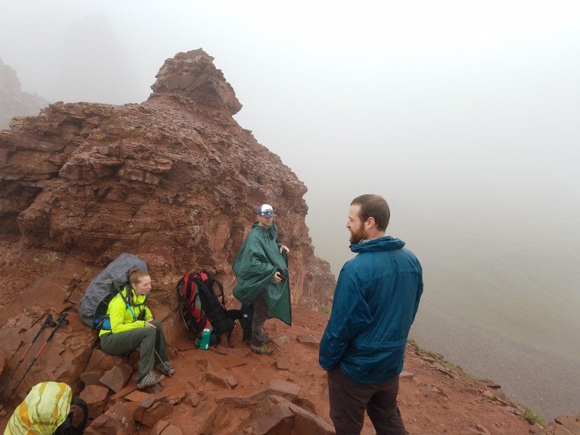
Heading down Frigid Air Pass, Tom looking particularly fashionable sporting a forest green poncho.

We snapped some photos and headed our way down to our second night’s camp. As we set up near a gorgeous waterfall, the sun made its first appearance of the trip and we were all elated! Finally, there was hope for a gorgeous bright second half of the trip. Everyone was very thankful for the coin’s wise and fruitful decision.

Night 2 campsite
Look at that sun!!

We woke up bright eyed and bushy tailed for the third pass of the hike, Trail Rider Pass. Being at the lowest point of the two passes, we knew we were in for a climb. Being that I did zero research on this hike, I had no idea what that climb entailed. It entailed about 2000′ of elevation gain over roughly 2 miles. Pretty happy I had no idea I was about to conquer one of the more difficult passes I had ever come across.

The calm before the storm.

We climbed. And climbed. And climbed. It was gorgeous scenery that we got to take in with plenty of breaks to catch our breath. We even got to see a small plane fly right by us! Reassuring in so much as if we all perish on this pass, at least there was a chance our bodies would be retrieved.

The climb

But the steepness gave way to a gentler grade to the top and we all basked in the glory of conquering yet another pass. Only one left to go! The view from the top was again stunning with breathtaking views of Snowmass Lake, which just so happened to be right where we were headed as we descended the pass.

The old man made it!!
Snowmass Lake
Thrilled to finally have a view!
The only thing missing from this picture is mom.


We camped just past Snowmass Lake, avoiding the crowds the huge body of water draws. Our site was higher than the trail and we had a birds eye view of it. Chris spotted John and Sadie hiking, but they just exchanged hellos and John was on his way. I was happy they made it back on the trail, though maybe they would’ve been wise to have flipped a coin.

Final night campsite.

The next day was our last day! Just one last pass to conquer – Buckskin Pass. A little traumatized from Rider Pass, we all were hesitant to get too excited for today’s challenge. But it ended up being one of the more fun passes I’ve encountered! It was a gentle grade (comparatively) and the view was stunning.

The only bridge crossing of the trail
Heading up Buckskin Pass
The last push

We all made it to the top early and had enough time for Tom, Chris, and me to make it to the top of Buckskin Mountain, a pretty steep climb. But relieved of our packs, we made it relatively quickly. We met a friendly couple up there and snapped some pictures, a great future Christmas present for mom and dad.

We joined back up with dad and enjoyed the views of Pyramid Peak and Maroon Peak as we started back down for our final miles of the trail. But not before the plane from yesterday flew back right above us!

We ended the trail where we started and looked back with a sense of accomplishment. I don’t think any of us were prepared for the challenges we would find on the trail, mostly being the temperamental weather. But we persisted and onward we marched!

Another hike complete!

We ended the trip with a bike ride up and down Glenwood Canyon. Afterwards we shared dinner with our cousin Julie and her boyfriend Adam in Denver.

No trip is complete without a bike ride!
Unfortunately, Glenwood Canyon was victim to a brutal forest fire August 2020 and the scenery we enjoyed in 2018 is now gone, charred and scarred.

Overall it was a wonderful trip. Being only 27 miles, I definitely want to return someday soon, either to run it in one day or bring Addie on the adventure of a lifetime. But alas, after the Pacific Coast Highway bike ride, Mt. Washington, the JMT, and the Four Passes Loop, my 2018 summer of non stop adventure had finally come to an end, and I was due to go back to work the following week.

Day 20: Unfinished Business

August 5th 2018: Lyell Fork – Tuolumne Meadows; 13 miles

It took me so long to write this final post because it took me this long to come to terms with what the following paragraphs are going to describe.  It should come as no surprise that I was not able to complete the trail in its entirety, as the Ferguson fire was not even close to being contained at this point.  More heartbroken I could not have been and it will take a very long time for me to accept the fact that 20 miles were left unconquered when I know full well I could have completed them.  But alas, here is it: my final day on the trail.

Last night was the first night on this entire journey where I was alone.  Granted there were nights when people weren’t nearby, but I at least knew there was someone within proximity of where I was staying.  Last night, however, I didn’t see a soul.  Which shocked me because I thought it was a pretty awesome campsite at a pretty awesome location! Right before Donahue pass going SOBO and right after the pass going NOBO.  Prime real estate! Well obviously I was wrong, or maybe the other hikers knew something I didn’t.  Because this was the worst night of the entire hike, and it wasn’t because I was alone.

Being alone didn’t bother me at all.  At this point, I think (I hope) I know what I’m doing when it comes to camp life.  I’m not worried about bears or things that go bump in the night, so I was actually looking forward to having a night completely devoid of human interaction.  But then the wind started.  And it didn’t stop.  Starting gently at 5pm, the wind soon picked up in gales and brought with it ash.  Thank God I set up my tent as soon as I got into camp, because with only 2 stakes (ultralight!) my tent surely would’ve blown away into the abyss.  To help out, I stayed in my tent to make sure with my weight and the weight of the pack, it wasn’t going to blow away.  I watched hikers come and go, wondering why they weren’t staying.  But like I said, I secretly hoped they would move on so I would have a night alone.

The wind got worse.  So much worse.  Because I was in a valley of sorts, it created a wind tunnel.  I could hear bad gusts coming up the valley 5 seconds before it would hit the tent.  Gave me plenty of time to prepare, not that any preparation would do any good!  The gusts must’ve been at least 60mph.  For the majority of the night, my tent was blown completely horizontal, right over my face.  Needless to say, I did not sleep very well.  I had visions in my head that the wind was so strong it would knock my bear canister over. Following the whatever law of whatever dynamics (physics wasn’t my strong suit), the canister would stay in motion until it met something that would stop it… and that would be a nearby stream. I was convinced that my bear can was gonna float away! Totally ridiculous. But I was in a heightened state of annoyance and sleep deprivation from the wind, so my brain wasn’t working so well. The only thing that would’ve made it worse would be rain.  Luckily the heavens didn’t open up on me, however, it did rain ash.  I wasn’t too surprised, considering how terribly smoky it was on Donahue and how low visibility was before I went in my tent.  Another nail in the coffin of my hopes of finishing the trail.

The wind didn’t die down until 6am the next morning, exactly when I wanted to wake up.  Good because I could break down camp in peace, but bad because it didn’t give me a chance to catch up on any semblance of sleep.  But knowing it was likely my last day, I didn’t need sleep.  Plus it’s all downhill to Tuolumne Meadows, so I could practically sleepwalk and be okay. And my bear canister took the wind beating well – it was still standing! The same cannot be said about my tent, however. The poles were bent from the wind. But with it already looking a bit long in the tooth, I personally think the bent poles add even more character to the old beloved Marmot tent.

Well I guess I was sleepwalking because I had a pretty bad fall down a steep decline heading down into the meadow in which I almost lost a Nalgene bottle and my pride. An older gentleman witnessed the fall and asked if I was alright.  I tried to brush it off like it was nothing, but it actually hurt quite a bit.  Nothing like a hard fall to wake you up in the morning!

As I continued the day’s hike, I took it all in.  I took more breaks and took in the views.  I also was super hungry which accounted for the majority of the breaks.  Leave it to the last day for my appetite to kick in full gear! I ate my entire day’s worth of food by 10am.  It felt so weird knowing that this was my last day on the trail.  I had a lot of teary moments, looking back on the struggles, pure joy, and breathtaking views I experienced on the trail.   I wasn’t ready for it to be over, especially cut short.  But I had no other option.

I saw a ton of people starting their SOBO journey.  With Tuolumne Meadows so close, I wasn’t surprised to run into so many fresh, bright eyed hikers who didn’t smell like weeks worth of BO.  They smiled happily and congratulated me on my journey.  I was happy for them and a little jealous that their journey was just beginning.  I ran into two older men and had a quick conversation with them before realizing one was wearing an ACA hat.  The ACA is the organization I used to ride the TransAm route and used their maps for the Pacific Coast Bike Route earlier this summer.  We talked about bike tours and how different it is from hiking.  Good to have a conversation about something other than the John Muir Trail!

When I arrived at the Tuolumne Meadows cut off trail, I ran into a ranger.  I asked him his honest opinion about Yosemite Valley opening tomorrow.  “Not a chance”, he said ,rather bluntly.  He also told me it wasn’t a smart idea to wait around optimistically to see if it’ll open in the next few days. He thought the valley would be closed for the entire season.  Though I wasn’t surprised by his response, it still killed me.  After we departed paths, I called my parents to tell them I’ll be coming home early.

When they answered, I couldn’t speak a word, phrase, or even a syllable.  I was crying hysterically, coming to the realization that this was real,  I was really forced to quit the trail.  They calmed me down and I was able to explain the situation.  After a few minutes on the phone, I saw something not far away come out of the woods.  “Oh my God it’s a bear!” “WHAT?!”, I heard my mom say (her worst fear is bears) “Get out of there!”.  I was only slightly alarmed, mainly because I had a pocket full of fruit snacks.  I hung up the phone, threw Big Booty Judy on my back, and walked to the wilderness center.  Mr. Bear followed along with me, keeping a good 40 feet between me and him.  He didn’t seem too concerned with my existence, so I tried to feign the same kind of indifference.  They can smell weakness, right?  Luckily I made it safely to the office.

There I figured out with the help of my parents how to get home.  I was going to take a 4:30pm bus from Tuolumne Meadows to Lee Vining, then take a bus in the morning from Lee Vining to Reno for a flight home.  While waiting for the bus to Lee Vining, I ran into Paul and Jeff, brothers from Seattle who completed the trail a few days ago.  They waited around to see if the valley would open, but gave up after a few days.  Paul was going to Reno to fly home, however, Jeff was sticking around because his truck was parked in Yosemite Valley.  Being retired and just recently widowed, he had plenty of time to wait for the valley to open.  Both were very nice guys and I enjoyed talking with them and getting to know them.  Finally the bus arrived and off I went for the journey home.

Lee Vining is a tiny town, but was a perfect place to stop for the night.  Paul and I waited for the ESTA bus (late as usual) and we were shocked by what came to pick us up.  It was an bus full of hikers from Mammoth who had to cut their journey short.  When I say it was full, I mean it.  Getting our bags to fit was an exercise in Tetris and patience.  There were no seats left on the bus, so Paul and I were forced to sit on the floor.  On a bus full of young, able bodied men, you would think one or two would offer their seat to a woman OR an older man, but nope.  The art of chivalry and manners was lost on my generation.

Eventually we made it to the airport where I had 7 hours to my flight.  I don’t even remember what I did to pass the time, I was so bored.  When I finally could check my bag, I didn’t have full confidence the woman who tagged my bag knew what she was doing.  I crossed my fingers that it wouldn’t be the last time I would see BB Judy.  My fears were justified because when I landed in Philly, Judy was no where to be seen.  Frontier’s baggage representative reassured me that she would be delivered within 24 hours.  She arrived at 1:30am missing one trekking pole.  Another reason to not fly Frontier in my opinion.

But I was home.  Not on my own terms, but here anyway.  Seeing my family and Addie was great, but would’ve been greater had I completed the trail.

I will follow up with one last final post soon reflecting on my experience.  Over a month later, I’m still digesting what I experienced and the feelings I have being home and returning to work.

Day 19: Coming to Terms

August 4th 2018; Rosalie Lake – Lyell Fork; 16.3 Miles

Last night was the first night on this entire trek that I was actually cold.  Honestly, I can’t complain, especially when I though I’d be cold every single night.  I woke up still half frozen to a beautiful sight – no smoke!  It was perfectly clear. Hope pumped through my veins warming up my body.  Hope that maybe, just maybe, the fire is on its way  to being contained and that Yosemite really will open tomorrow. Fueled by this hope that my trip may not have to be cut short, I packed everything up and set out for today’s hike.

This morning, I passed nothing but lakes.  From Shadow, to Ruby, to Garnet, to Marie, it was nothing but lake after lake that I’ll never be able to keep straight.  Garnet and Thousand Island Lake were the big ones. And they were pretty darn stunning.  In fact, Thousand Island Lake is pretty infamous along the JMT.  Originally, we were going to stay there for a half day.  I scratched that plan last night.  Good thing. Cause only 8 miles from Rosalie Lake, I got there at 10:30am.  I would’ve been quite bored.  Plus a lot of people had the same idea of staying there and it was pretty packed.  Not my kind of scene.

Onward I went to Rush Creek, where I had planned to stay.  Getting there meant going over Island Pass.  Funny thing about Island Pass is you don’t even realize you’re going up it till you’re already over it and on the downhill!  It’s barely a bump in the trail and snuck right up on me, or maybe I snuck right up on it? Either way, it was an anti-climatic pass and as such did not yield any kind of view.

I got to Rush Creek shortly after 1pm.  Still feeling pretty good, I wanted to keep going because I was aware that tomorrow would’ve been a hard and long push to Tuolumne Meadows if I didn’t keep pushing.  So with the attitude of “why put off till tomorrow that which you can do today”, I tossed Judy onto my back and we marched onto Lyell Fork.  Only 4 miles away, it looked like a perfect little spot to stop.  Only problem was it was just past Donahue Pass.  At 11K’, I knew it would be considerably more difficult than Island Pass.  But then again, just about anything is more difficult than Island Pass.I had all the time in the world to get over it, so I wasn’t worried.  After the terrifying incident crossing Silver Pass in a lightning storm, I would prefer to avoid passes in the afternoon.  You just never know when a mega monsoon might rear its ugly head! However, the skies this afternoon were clear – clear of clouds and clear of smoke! Perfect.

During the climb, I had a little blimp of cell service and told my parents that the smoke was gone! Hooray! They don’t have to worry (my mom even sent a picture of Addie in a mask, no doubt showing support).  As soon as I lost reception, the winds picked up and guess what it blew in?! Within minutes, the canyon was full of thick smoke, obscuring any view of my surroundings.  Great. I’ve been looking forward to Donahue Pass for weeks and now I won’t be able to see anything! Oh well, life’s unfair sometimes.

With the wind and smoke and tired legs, the ascend up the pass wasn’t the most fun. But it at least went quickly.  I was officially in Yosemite!!  I got a little emotional at the top.  Donahue is the last pass of the JMT going NOBO, a pass I was certain I’d never get to see when I started.

I made it down to Lyell Fork at 4pm, very weary and glad to have made it.  As I was setting up my tent, it started to rain ash.  All hope I had in the morning was quickly, well, burning up and turning to ash.  I talked with two guys who started in Tuolumne Meadows that morning who had spoken with some rangers before they left.  They said that none of the rangers were optimistic about the park opening tomorrow.  In fact, many of them said they wouldn’t be surprised if it remained closed all season.  That’s when it hit me.  I’m likely going to have to quit tomorrow.  And that is also when I accepted it. I can’t push pas this.  I have to swallow my pride and let the universe have this win. Besides, I cried enough about it in Mammoth.

So it looks like I’ll be ending 20 miles shy of Happy Isles.  But, I already hiked these miles with my family a few years ago, so technically I will have hiked the whole JMT, just not in one shot.

I’m exhausted.  The wind is still kicking around and being annoying.  I have a feeling it’s going to be another cold night.  But it’s the last one so big whoop.  At this point, I can handle it.

Day 18: Take It Easy

August 3rd 2018: Mammoth > Rosalie Lake; 9 miles

I woke up to the sound of my alarm, ready and excited to get back on the trail.  Though I was glad to have a roof over my head and a bed to sleep in, the Hostel was loud and I missed the quiet comfort of my tent. In fact, I got better sleep in my tent than I did in the hostel!  I went downstairs to grab a quick breakfast and promptly left after getting into a slight altercation with a man who thought he was more entitled to my phone charger than I was.  After dropping out of the JMT due to smoke, he found himself low on battery charge and ordered me to let him use my cord because he forgot his.  I had overheard him telling another hiker how much of a big shot he is in DC, so I told him he could find a cord at the Rite Aid down the street… surely he could afford one there.  I grabbed Big Booty Judy and soon we found ourselves on the shuttle back to Red’s Resort.

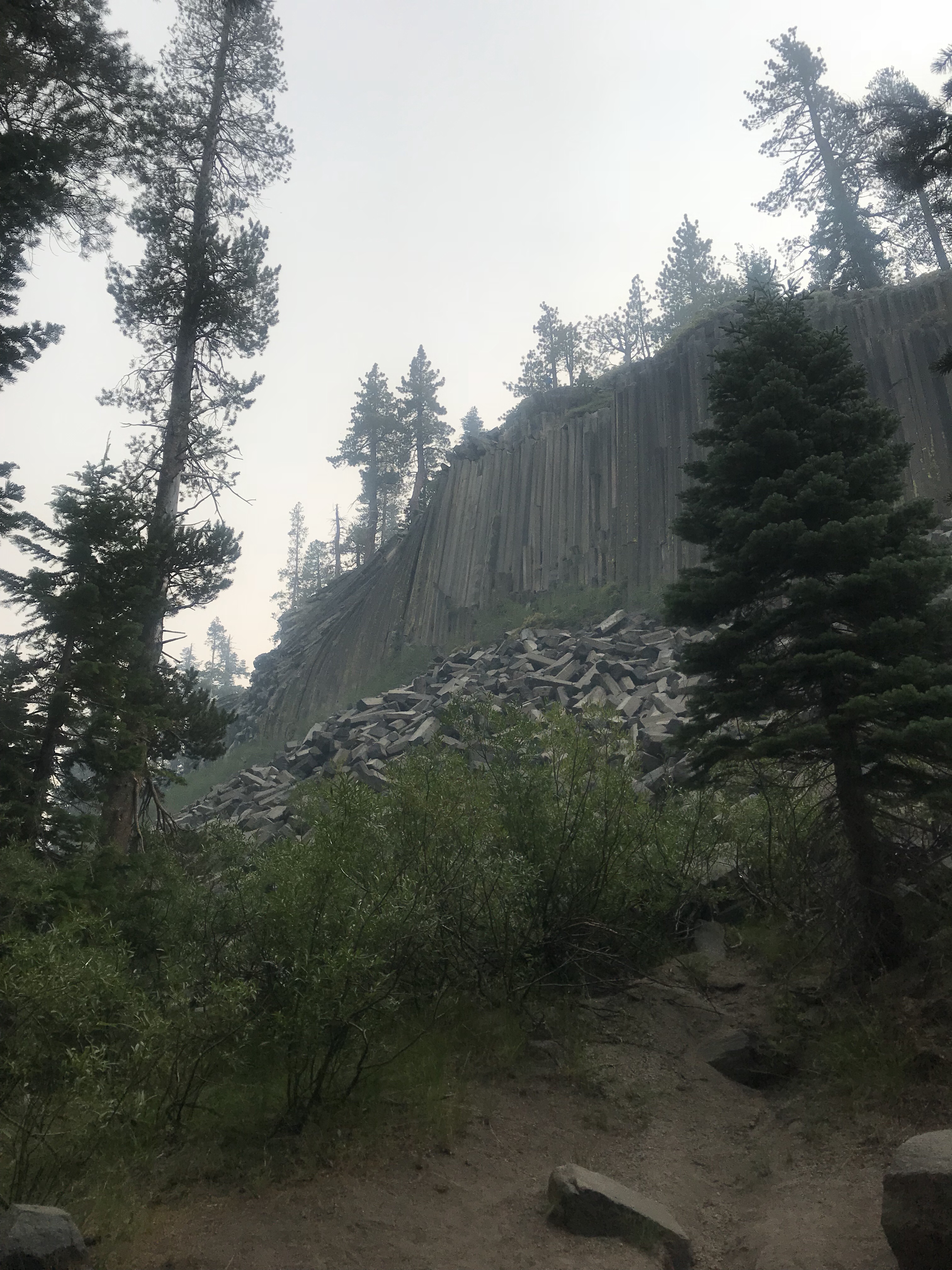
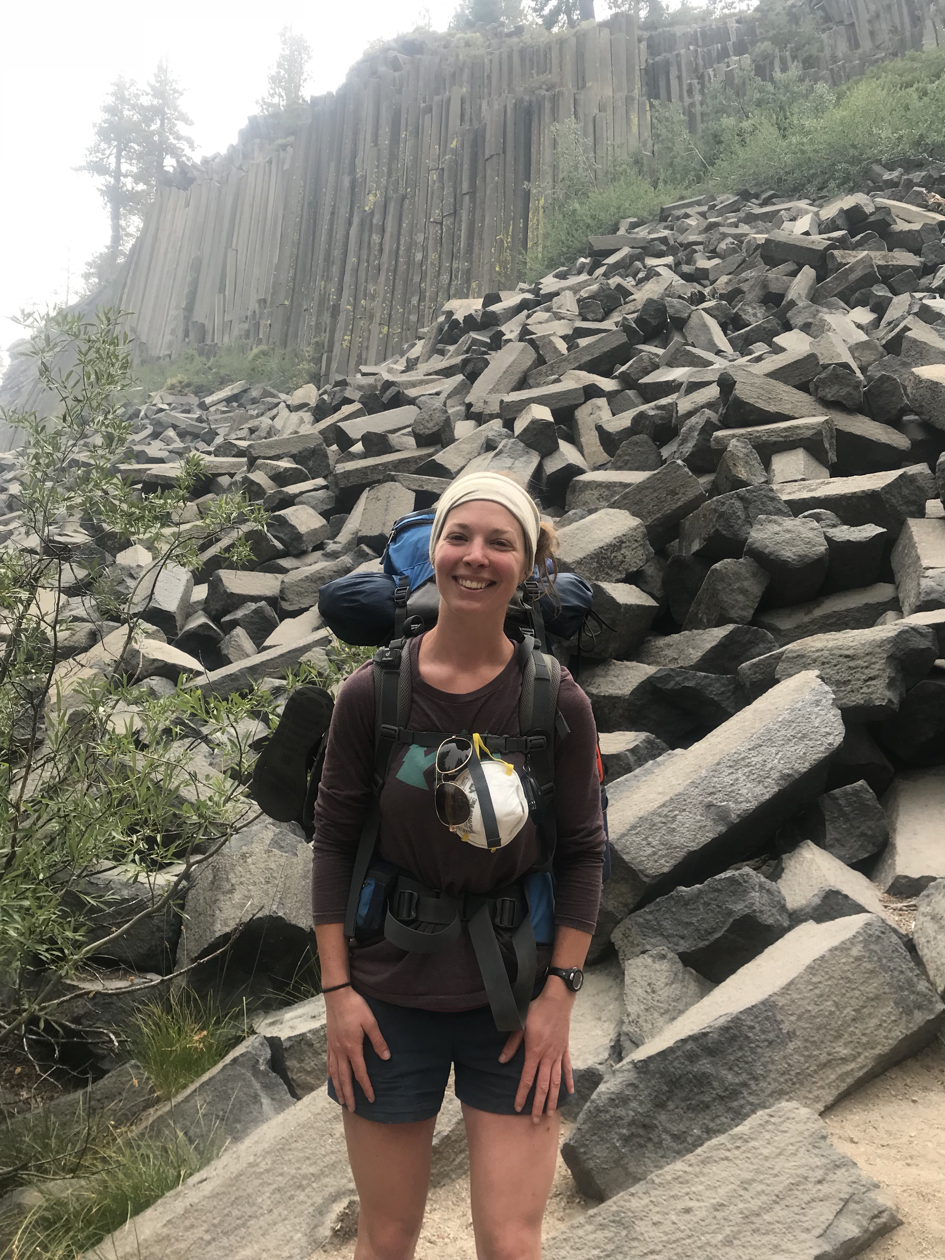
On the bus I was relieved to see that I wasn’t the only crazy person going NOBO directly int o the line of fire.  There were plenty of folks doing the same thing!  We got dropped off at 8:30am and I hiked with a group of guts from SoCal who were section hiking.  We passed by the famed Devil’s Postpile.  Not entirely sure what to expect, I was left minorly disappointed by the monument.  Really interesting looking, however, it was such a small geological feature that has accrued so much notoriety on the trail I was expecting a little more.  I stayed with the group until the JMT junction and we played leapfrog for the rest of the day.

Where I am camping tonight has been an issue of internal debate for the last couple of days.  Originally, I was supposed to stay at Rosalie Lake.  But that’s only 9 miles from Red’s Resort, and I wanted to go a little further to make it to Tuolumne by Sunday.  The problem with going further is there is no reliable water. Jen Warned me of that and gave the recommendation of staying at Rosalie Lake.  When I asked the guys their opinion, they agreed.  They told me to just take it easy, what’s the rush? I wasn’t sold until I actually got to the lake.  It’s beautiful, possibly my favorite late yet! I fell in love immediately and knew I had to stay here for the night.  I found the most perfect camping spot and an even better writing rock! The only problem is that it’s pretty windy and smoke is starting to settle right in the lake.

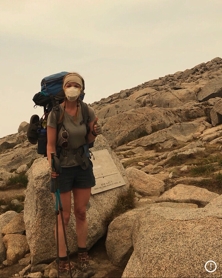
Speaking of smoke, all day it was a very ominous presence, causing an eerie feeling amongst the dead trees I’m still hiking through.  However, it hasn’t really bothered me or affected my breathing.  Someone at Red’s gave me an N95 mask, however, I haven’t had to use it yet.  And not that I’m really planning on using it – it makes breathing harder, especially when hiking uphill.

I was really tired today, (maybe it was all the blues at Bluesapalooza last night) so I wasn’t really bummed about calling it quits at 12:30pm today.  I had the whole afternoon to myself, save for a when the guys came over to inspect my campsite after seeing how much better mine was than theirs.  We had a nice conversation about their experiences in the Sierras.  I even taught them the thunder position, something they may find useful considering how many thunderstorms there have been out here.  They had never heard of it before and poked fun at me for even knowing what it was.  All in good fun.

Being in such an inspirational place has put me at peace, something I was definitely in need of after being in Mammoth.  I love it out here and am so sad to think that a week from now it’ll all be over.  I know once I get home I’ll be daydreaming about it out here, wishing I was back in it, despite all the adversity and hardship I have experienced.

The peace and quiet has been interrupted by a group of boys daring each other to jump in the frigid lake.  The air being filled with their screeches allows for some entertainment.  What’s not so entertaining is them urging each other to “just pee – you pee in the ocean, what’s the difference?”.  No – please don’t.  I’m pumping water from there later tonight.

With the smoke, the sun looks beyond spooky.  It look downright post-apocalyptic! After 5 pm it turns bright pink and you can look right at it.  The closest phenomenon I can compare it to is the solar eclipse.  It evokes the same kind of almost primal doomsday feeling.  I’ll be glad when I won’t have to deal with smoke anymore, I can definitely say that.

Day 16 & 17: And on the 17th Day, Emilie Said, “Let There Be Rest”

August 1st & 2nd 2018: Deer Creek > Red’s Meadow Resort; 5.5 miles > Mammoth

My poor weary body can rejoice! I’m writing this on a comfy chair in a hostel with a full belly of REAL food.  I haven’t had a 45 pound pack strapped to my back for over 24 hours and my legs feel fantastic! Although smoky and hot, this rest day in Mammoth was just what I needed.  However, I am getting a little itchy to get back on the trail tomorrow… it feels like cheating being off of it!

Yesterday I got to Red’s Resort right in time for breakfast.  The 5.5 miles there were easy, however, they were filled with devastation.  I walked through a forest of dead trees, likely dead for a while.  I’m unsure how they got that way (Edit: Lightning sparked fire in 2008), but there was an odd beauty to the destruction. As I descended into the resort, I saw the smoke that I had been warned about.  It made for hazy views into the meadow.  People coming up from the meadow were wearing N95 masks and complaining about how thick the smoke was down at the bottom and warned me to get out as soon as possible.  When I told them I was headed into Mammoth, they said that it wasn’t much better there.  Great!  Eventually I made it to Red’s (such a beautiful sight to see the sign!) and had a delicious – albeit pricey – breakfast.  Worth every cent.  Afterwards I picked up the resupply bucket and rooted through it to see what goodies I wanted to take along.  I gave most of it back because I still had too much food leftover from the MTR resupply and Marybeth had her resupply in the bucket as well.

I stuck around at Red’s for a while, talking with other hikers and just killing time since I didn’t have a plan for when I got into Mammoth.  Eventually I caught the shuttle into town and I checked into the Moderne Hostel.  I went around town to get supplies for a much needed shower.  Mammoth is not very pedestrian friendly.  Walking anywhere is putting your life on the line.  Luckily, however, the town offers free trolleys to you take to and from various points of interest.  Just simply hop on board and go to your destination worry free! I took the most amazing shower and for the first time in over 2 weeks I felt clean!  Plus now I won’t terrify Boy Scouts hiking the trail with my hairy legs – pretty sure I gave a few of them a decent fright as they passed by open mouth shocked by my legs – ha! I met the woman staying in the same room as me. Jen from Monterey (we bonded over their impressive farmer’s market) was hiking the JMT SOBO, but bailed out at Mammoth due to severe knee pain that started after coming down from Donahue Pass.  She was going to spend a few days here to see if it felt better, but after not being able to put any weight through it, she made the tough decision to drop out.  She was awesome to talk with and is a super friendly and sincere person.  Living in CA so close to the trail, she is planning on coming back out next year to attempt it with her 16 year old son.

Soon it was time to think about dinner. Someone who I had met on the TransAm suggested I go to Liberty Grill. It was right down the street and is owned by a Philly guy.  After looking them up online, I saw they had burgers and was immediately sold.  Though not entirely hungry, I still ordered and ate everything.  It was all gone quicker than I’d like to admit.  The poor people at the bar had to witness the pure savageness of me devouring that food. When I got the bill, I came to learn that Danny offered to pay for my meal! Thanks Danny!!

With an uncomfortably full belly, I went back to the hostel and immediately went to bed to sleep off the food coma.  At exactly 4am, I woke up and immediately regretted scarfing down all that fried greasy food.  I had a bad case of bubbly guts and practically fell off the top bunk in a rush to get to the bathroom.  Pretty sure I gave Jen quite a fright in my frantic rush.  I should’ve known this was going to happen – after 2 weeks of such bland foods, assaulting my stomach with a burger and fries was not a great idea.  But it tasted so good!!

In the morning I went to a coffee shop to try and figure out a game plan for getting to Yosemite amidst all these fires.  Mammoth is extremely smoky. In fact, I woke up to the smell of smoke this morning.  I know that a bunch of JMTers are either cutting their hike short or cancelling it altogether because of reports of smoke.  I began to question whether my bullheaded decision to try to push to Happy Isles was smart, or (more importantly) safe. Ultimately I came up with the conclusion that if the smoke gets too much to handle, I’ll just turn back and come home from Mammoth.

So the plan: get to Tuolumne Meadows by Sunday, when Yosemite is rumored to reopen.  If it opens, great! I’ll finish the hike in 2 days. If it doesn’t, I can camp out there for a few days till it does.  If I run out of time, I’ll find a way back into a town where I can catch public transportation to a major airport and fly home.  I is unclear whether or not YARTs is operational right now due to the fires.  If it is then it’s an easy ride into Mammoth. If it’s not, then I’ll just have to stick out my thumb and catch a ride into town with some generous stranger.

The prospect of potentially having to end this experience early is heartbreaking to me.  Even though it’s only 2 days worth of hiking, I wanted to finish more than anything in the world.  After having such a tough first week and not being sure if I would even make it past that, I would feel incomplete having to quit early when I know physically and mentally I am capable.  But with such a devastating fire rolling through such a beautiful place, it is completely selfish of me to think this way.  I hope the fire is contained soon, not only for my and other hiker’s benefits, but for the preservation of Yosemite and the safety of the firefighters working so hard to contain it.

With all my maps laid out on the table in the coffee shop and my dirty smelly ratty cloths,  I guess I gave off the hiker vibe.  A guy, Josh, recognized me as a JMT hiker immediately and struck up a conversation.  Being a photographer and having lived in Mammoth for some time now, he is very familiar with the Sierras and the JMT in particular. Seeing I was alone and likely bored, he invited me to Bluesapalooza with him and his friends, a yearly blues festival held right down the street from my hostel that apparently is the event of the year.  How lucky I was to stumble into town the exact weekend it’s being held! Having nothing better to do, I figured why not indulge in a little bit of Mammoth culture.

I’m so jealous of people who live in California.  All of Josh’s friends were talking about all the trails they have done and how easy it is for them to get a walk up permit for whenever they want to go camping out in the backcountry.  Not fair! It took me weeks of planning and stressing to get my permits! Oh well. Such is life.

After only being able to tolerate the Blues festival for an hour, I left to get some sleep.  I talked with Sheena on the phone and practically cried about how much I wish she was here with me for this hike! Oh well, next time!

Being back in civilization has made me want to get back on the trail ASAP.  It is such a weird feeling being in a town when you know you have unfinished business out in the wilderness to attend to.  I don’t like the feeling so I’m ready to hop on the first bus outta Mammoth tomorrow and get back to Red’s so I can (hopefully) finish this hike!

Day 15: A Woman on a Mission

July 31, 2018; Silver Pass – Deer Creek: 15 Miles

I woke up this morning a little groggy.  It took me a while to fall asleep, but once I found the sweet relief of sleep, it was hard to shake it off.  I did get up once during the night to a rustling next to my tent.  My body decided that right then was the perfect time to relieve myself.  With a swift shake of the tent to scare off whatever was creeping around (I always think it’s a bear). I saw a beautiful night sky free from the dark clouds that held it captive just a few hours before.  The moon was shining brightly behind a thin veil of misty clouds.  Though eerie outside the comfort and safety of my tent, I found immense beauty despite being so vulnerable and alone.

Although my alarm went off at 5:30am, my body did not.  It was a record slow camp break down for me.  By body is beyond tired, so I gave it a break and let it take its time this morning. Besides, I have a super easy day today… or so I thought (dun dun dun!) No matter what, however,  I was going to make it to that campsite and that one spot that potentially has service.  I think a big reason why I’ve been sleeping so poorly is because I’ve been so worried about loved ones at home.  After no contact in over 2 weeks, the mind goes wild with horrible scenarios in which everyone in your family died in a fiery car crash. Or maybe the entire East coast was wiped out by a nuclear bomb.  Or maybe Addie ate another baseball and this time wasn’t so lucky.  How would I know out here in the wilderness if any of these possibilities actually happened!? So I made it my mission to find this elusive service spot and today was the day this mission was to be completed.  I just had to get my achy 28 year old body to get on board – no easy task.

But I forced it to, as I have been this entire journey.  For the sake of Addie and my mental well being, I had to make it.  The morning started with a beautiful downhill view of the mountains, bathing in the amber glow of the early morning sun.  With a little added haze of the smoke, it looked like a painting.  But soon that downhill turned into a harrowing uphill, complete with switchback after switchback in the sun.  I have grown to absolutely detest switchbacks.  They are long and neverending.  Seeing the top the whole way up is mental torture.  Finally I was at the top and only had a short hike to Virginia Lake.  Yesterday, I toyed around with the idea of going further to stop at Virginia Lake because everyone told me how gorgeous it was.  But after talking with Jeb at Silver Pass and he told me it was a 1500′ climb (now the switchbacks make sense) I decided nope – I put my body through enough.  Plus the lightning storm solidified my decision.

I really thought that was the last of it with regards to climbing.  Today was supposed to be easy!  I took a nice rest at Virginia Lake and headed for another uphill battle up to Purple Lake.  It was up and down all day.  Although tough and unexpected, today was one of my favorite days view wise.  The lakes were beautiful.  And after the lakes came views of mountains. Gorgeous vista views along a crest for 5 miles.  It took my mind off the constant up and down.

But as you can tell by the pictures, those mountains did not look happy. No, they were blanketed in storm clouds, complete with rain and thunder. However , the rain was light (only but a drizzle) and the lightning was a minor threat being miles away.

Soon I approached the zone that was promised to have service.  I turned my phone off airplane mode and kept walking.  And walking.  Just when I gave up all hope on getting service, I heard the familiar ding of my phone! I reached the sacred zone, and it had perfect service.  My mission was successful.  I immediately called my parents and all is well! Addie is happy and healthy as is everyone else.  So I should (hopefully) sleep well tonight.

After such great news, I happily hiked to the campsite.  The happiness ended when I was promptly kicked out by a rude man.  I was (and still am) annoyed by it.  In fact, he’s wearing a mosquito net and there are literally no mosquitoes out tonight, which I’m thrilled about.  Because the campground is full, two young guys from the Bay area allowed me to share their campsite.

Earlier today while getting water at Duck Creek, I ran into two brothers hiking from Bishop to Mammoth.  They’re staying in the same campground and I got talking with Chris. He’s really nice and has a 12 year old daughter interested in backpacking. Great! Start them young!!

Tomorrow is a short jaunt to Red’s Resort.  I’ll probably get breakfast there and head into Mammoth.  Not sure where I’m staying yet, but I’m definitely looking forward to a shower and bed and real food!!

Day 14: Silver – Definitely Not Gold

July 30th 2018; Bear Ridge Junction – Somewhere Past Silver Pass: 14.6 miles

Oh what a day. I feel like I can start any of these entries with this phrase, but today was truly some sort of day.  I didn’t sleep well last night. With every noise pulling me out of whatever minimal state of unconsciousness I found myself in, I was jolted away with a fight or flight response.  Normally I’m fine sleeping in my tent, but last night was not one of those nights.  When I finally did doze off, my alarm went off at 4:45am – just in time for an early morning hike to VVR.  however, at the same time,  I saw that Marybeth had texted me on the Garmin.  She’s fine (hallelujah!) but won’t be meeting me at VVR.  I went back to sleep, content on skipping the holy grail of stops.  I wanted to get to Mammoth ASAP and a frivolous stop for a milkshake and a free beer didn’t exactly fit my plans.

The 5.5 miles to the VVR junction was all downhill. Aggressively so.  3 miles of it was rocky switchbacks.  I nearly fell 1/2 a dozen times getting down it.  If I was having that hard of a time going down, imagine the poor folks forced to go up it.  I passed nearly 20 of them, each one looking more miserable than the last.  I even waited for a mule train to pass.  I can’t believe these huge animals can navigate such narrow paths.  But thank God they do.

I had plenty of time to catch the ferry, however, like I said earlier, my drive to get to Mammoth by Wednesday fueled my drive to continue moving on.  That mean a 7 mile 3K’ climb over Silver Pass. Making sure Addie is okay was worth the torture I knew would ensue with this decision.

My whole body was sore and tired from overdoing it yesterday. I attacked this pass with a whole lot less tenacity than I did Selden Pass. I hated nearly every second of it.  I found excuses to stop every half an hour (well is refilling water really an excuse? It was hot I was drinking a ton of water!), making the climb take even longer.  I take back what I said yesterday about northern passes being gentle and gradual.  Leading up to Silver Pass was steep, ungodly so.  I suffered today, my friends.  But like all the other passes, the suffering eventually came to an end and I made it atop.  At 2pm, much later than I would’ve liked.  Although it wasn’t my favorite pass to get atop, it did yield one of my favorite views, even with the hazy smoke! At the top, I met Jeb, a fellow NOBO hiker who hiked the trail SOBO in 2016.  His pace is much faster than mine, so this is likely the only time I’ll run into him. He left and not soon after, so did I.  The rumbling of thunder was heard in the distance and soon rain fell from the sky. Being fully exposed on a pass, I knew I had to get down. Quickly.

I scurried down from the pass as quickly as my tired weary legs would allow.  I still had 2.8 miles to my camping spot and most of those miles were exposed. Not where I wanted to be when suddenly right in front of my face lightning danced across the sky.  With no option for shelter and honestly quite terrified, I went back to my grade school days and recited the rosary while practically running down the trail.  The lightning was nonstop and I couldn’t tell which thunder belonged to which lightning. Didn’t matter, all I knew was the lightning was way too close for comfort. It was just one constant symphony of thunder and I wasn’t too big a fan of the performance. In an otherwise completely safe situation, would’ve been beautiful, but unfortunately, that was not the situation I found myself in.  Soon my mad scramble down the mountain led to sporadic bunches of trees.  I went from tree to tree until I was safely below the treeline, where I soon found my home for the night. And a perfect home it is! Tucked under some big trees, I was able to set up my tent and stay dry! The storm lasted for about another hour before giving up.  And now the sun is shining, of course!

One this I’ve noticed since starting the solo journey is that people going the opposite direction are way more prone to starting a conversation in passing.  Not that it bothers me, it gives me a rest and distraction.  Plus most of the people are super nice and give me information about what’s happening up North with regards to the fires.

I’m only 20 miles away from Red’s Meadow Resort.  I’m planning on getting there tomorrow.  Just kidding! It’s a relatively easy 15 miles to a nice looking campground tomorrow – and rumor is there’s a spot a mile before this campground that has Verizon service.  I can call and make contact with family and friends!! Plus that makes Wednesday’s journey to Red’s Meadow a pretty easy 5 miles. Perfect!  Today was one of my toughest mental days.  With a fatigued body and brain, I’m pretty susceptible to my mind going negative.  I had a few tearful moments feeling sorry for myself, but got my act together pretty quickly.  No tears allowed on the trail!

Day 13: And Then There Was One…

July 29th, 2018; Florence Lake – Bear Ridge Junction: 16 Miles

Well, I survived by first day alone in the wilderness.  Marybeth made the hard decision to leave via Florence Lake to determine exactly what has her feeling so lousy. After a sad “see you later” – cause I have hope of her returning soon – I went long on my own.  It took 1.5 miles to get out of MTR territory and back on the trail.  That short distance was some of the toughest hiking yet!  Yesterday at the ranch, I overheard some guys going SOBO talking about their trek coming in. “May, I couldn’t imagine going NOBO outta here!” So at least I was semi prepared, but not enough! I was so glad to see the Selden Pass >” sign, indicating the end of that stretch. As soon as I got to that sign, I almost got trampled by two deer who I spooked.  Well, they spooked me too! Right before one was feet from plowing right into me, I let out the highest pitch shriek my body would allow.  That deer did not want to collide into something that made that kind of noise, so she last second changed course and left me alone. Phew. Now I could focus on the climb ahead of me. Like I mentioned last post, I had over 3K’ to make up in just a few miles.  The GPS elevation profile gave me an indication of what was in store.  Most of the elevation gain was in the first 2 miles. Rough, but it’s gotta happen! Good thing I was getting it over with first thing in the morning.

After the first few miles, things settled down and turned “flat”.  I enjoyed it until the last 1/2 of the pass.  But I gotta say, I’m a fan of going North, just because of the gentle grade of the passes this last half of the trip.  The way up going SOBO looks way more intimidating and less friendly.  But there is a trade off for these smaller elevation passes… less of a view.  And they only get smaller from here on out. I was spoiled by the grand views of Forester Pass. I’ll be daydreaming about those breathtaking views for the rest of my life.  Once atop Selden Pass, I spoke with some hikers and ate lunch.  Being exposed and in the sun,  I didn’t stay up there too long and set back down the pass.

Today, just after getting back on the trail, I observed complete sounds of nature.  Now I’ve experienced it before on this trip, plenty of times, but being by myself added to the magnitude of silence I was at that time listening to. While going up a set a switchbacks just before Selden Pass, it was early enough where I had the trail to myself.  The atmosphere was devoid of human made sounds. No airplanes, no cars, no music, no frivolous conversations, no clumsy feet or trekking poles accidentally kicking rocks (my specialty).  Just nature.  Once my heartbeat stopped drumming in my ears and I swatted all the mosquitoes and flies away, I was fully immersed by deafening nature.  The sound of the distant stream, the gentle breeze, the sing song chants of the birds flying amongst the clouds all put me at peace, just at time when peace was needed.  When surrounded in a world full of constant stimuli, it is beyond refreshing to experience a world so quiet and unadulterated, where humans have yet to fully inhabit.

Hiking such a trail in such wilderness alone is intimidating.  Though I’m confident in my abilityies to solo hike and I rarely go 15 minutes without seeing another human being, you can just not prepare for the unexpected.  Needless to day, the prospect kept me up last night (that and the fact that the campsite kinda creeped me out).  But there are signs out here that I’ll be just fine and that I actually am not truly alone.  My grandmother promised me that she’d be watching over me, keeping me safe.  She sent a sign (literally) today, of all days, that she was keeping that promise. I passed by Rose Lake Junction, and seeing as her name is Rose, I know it wasn’t just a coincidence! I know she’s up there, keeping a watchful eye, giving me confidence for the days to come.

Today was a long day. In fact, it was the longest mileage day yet! That because I got over be pass before 11:30am and felt great. I also want to try to get to VVR tomorrow early tomorrow for the 9:45am ferry.  By going further today, I only have 5 miles tomorrow to the ferry, making it easy to make that time.  Otherwise I’ll be waiting around until 4:45pm, no thanks!  Marybeth, if given the okay by the doctors, will likely meet me at VVR, so I’d rather get there early and just relax.  She’ll let me know by tonight.  If she isn’t able to make it to VVR, I’ll likely just skip it and head to Red’s Meadow.  Although VVR is a staple stop for JMT hikers and offers hot meals and free beer to hikers, I would rather push on.  More so than food and especially beer (yuck – at this altitude I’d be hungover for days), I’m craving communication with friends and family.  I need to make sure little Addie is okay!  The person who is sharing a campsite with me has a dog – ugh I might steal it for the night!

The smoke was the worst it’s been yet today.  As I learned on the Pacific Coast bike tour, winds out here tend to blow from the North down to the South.  Seeing as any of the fires are North of here, the wind is blowing the smoke right our way.  A cowboy leading a mule train told me, “howdy Ma’am, welcome to the most beautiful part of the trail!” News to me, I can’t see anything through the haze of the smoke!

I officially have less than 100 miles. And with 10 days to complete those miles in, I feel confident that I’ll be able to achieve my goal.  Unless, of course, something befalls me!