
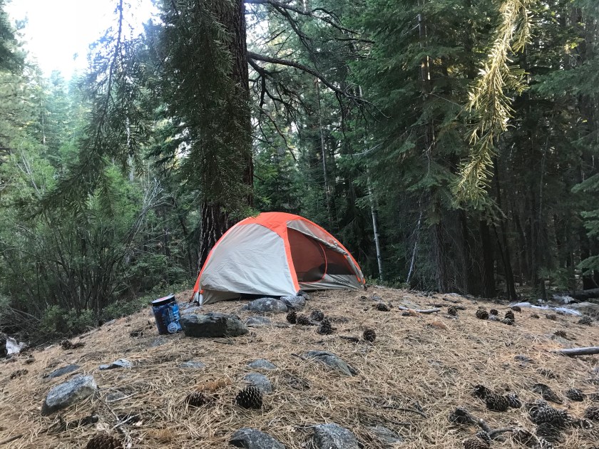
July 29th, 2018; Florence Lake – Bear Ridge Junction: 16 Miles
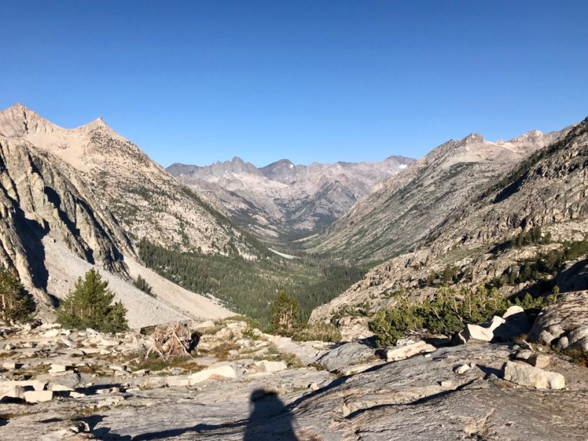
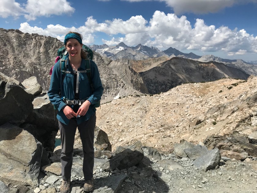
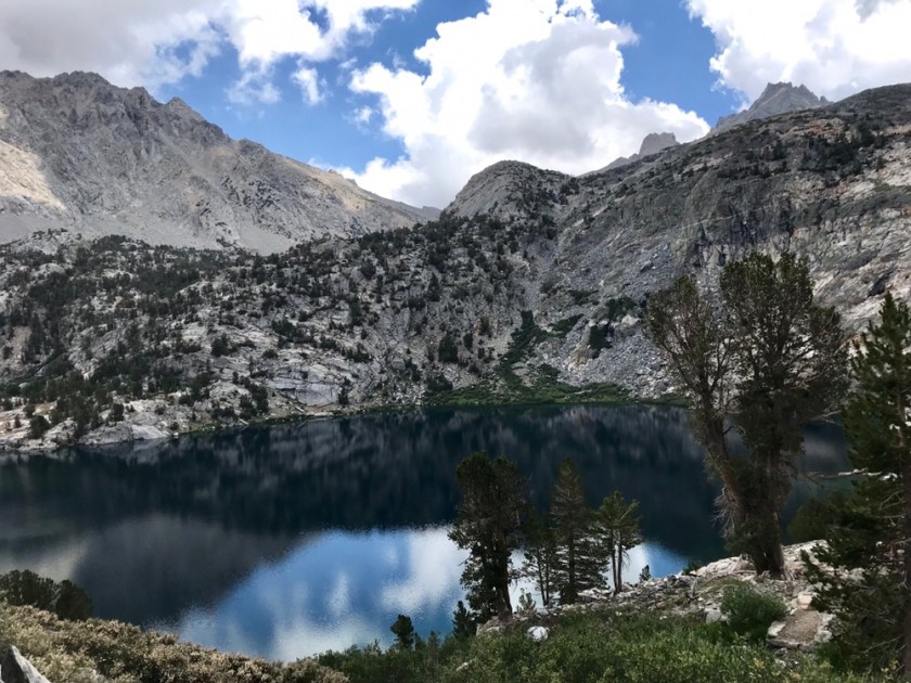
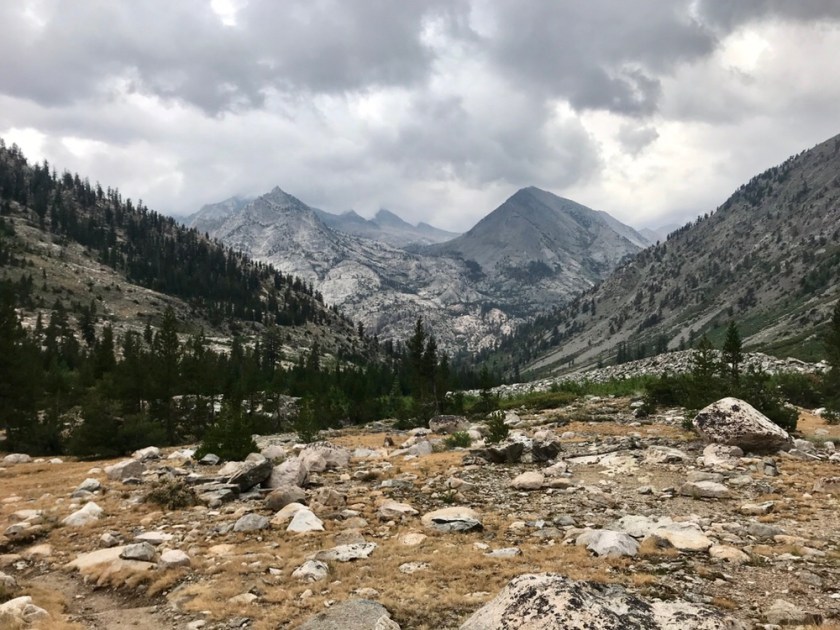
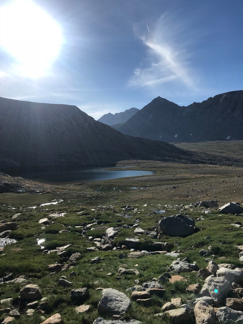
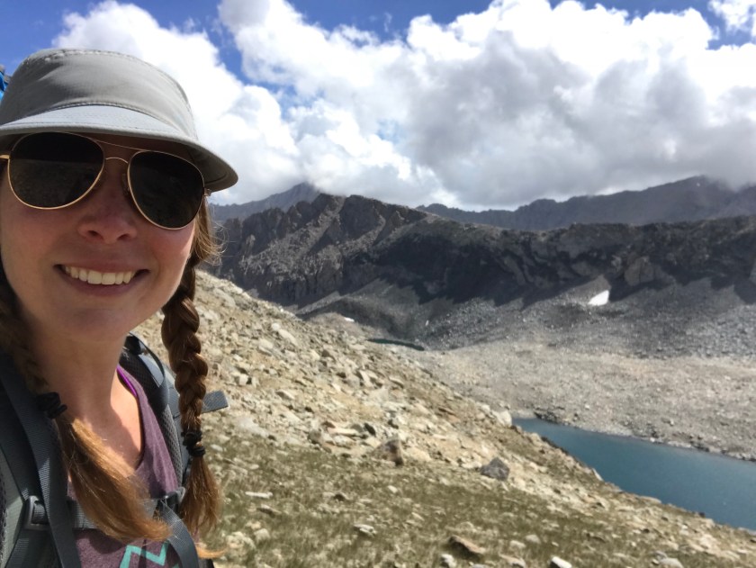
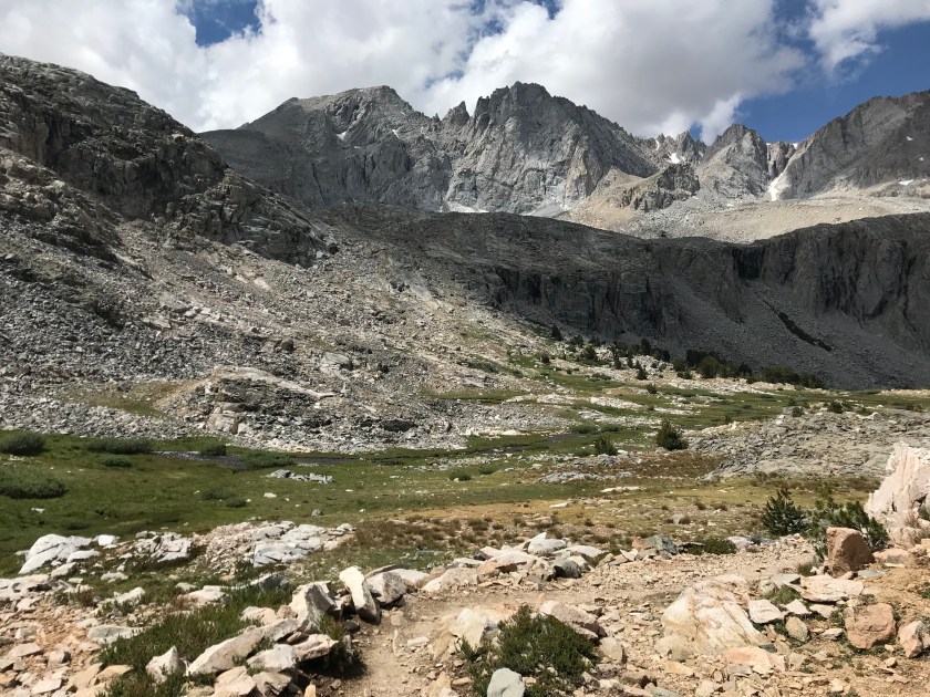
Well, I survived by first day alone in the wilderness. Marybeth made the hard decision to leave via Florence Lake to determine exactly what has her feeling so lousy. After a sad “see you later” – cause I have hope of her returning soon – I went long on my own. It took 1.5 miles to get out of MTR territory and back on the trail. That short distance was some of the toughest hiking yet! Yesterday at the ranch, I overheard some guys going SOBO talking about their trek coming in. “May, I couldn’t imagine going NOBO outta here!” So at least I was semi prepared, but not enough! I was so glad to see the Selden Pass >” sign, indicating the end of that stretch. As soon as I got to that sign, I almost got trampled by two deer who I spooked. Well, they spooked me too! Right before one was feet from plowing right into me, I let out the highest pitch shriek my body would allow. That deer did not want to collide into something that made that kind of noise, so she last second changed course and left me alone. Phew. Now I could focus on the climb ahead of me. Like I mentioned last post, I had over 3K’ to make up in just a few miles. The GPS elevation profile gave me an indication of what was in store. Most of the elevation gain was in the first 2 miles. Rough, but it’s gotta happen! Good thing I was getting it over with first thing in the morning.


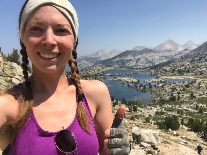
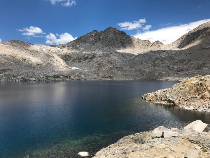
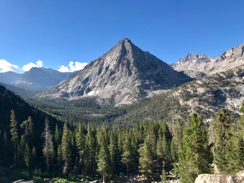
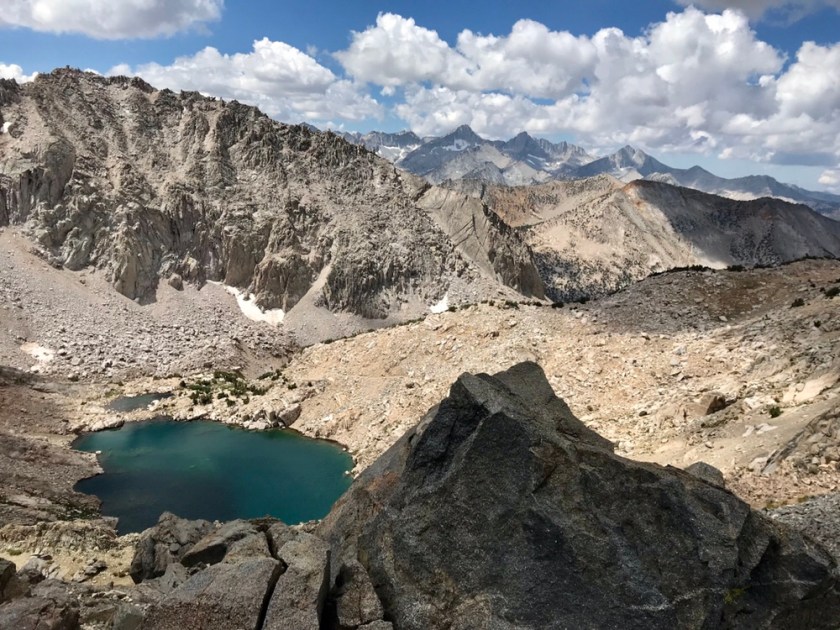
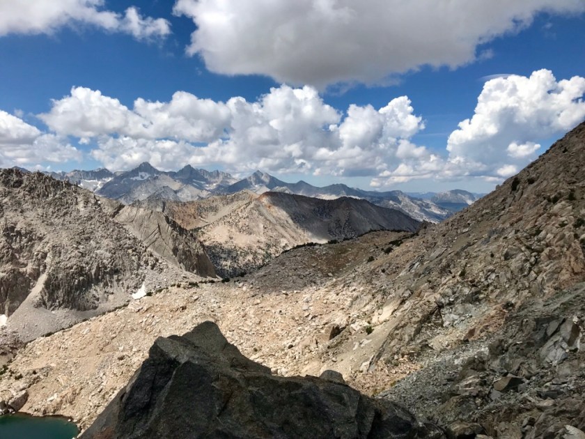
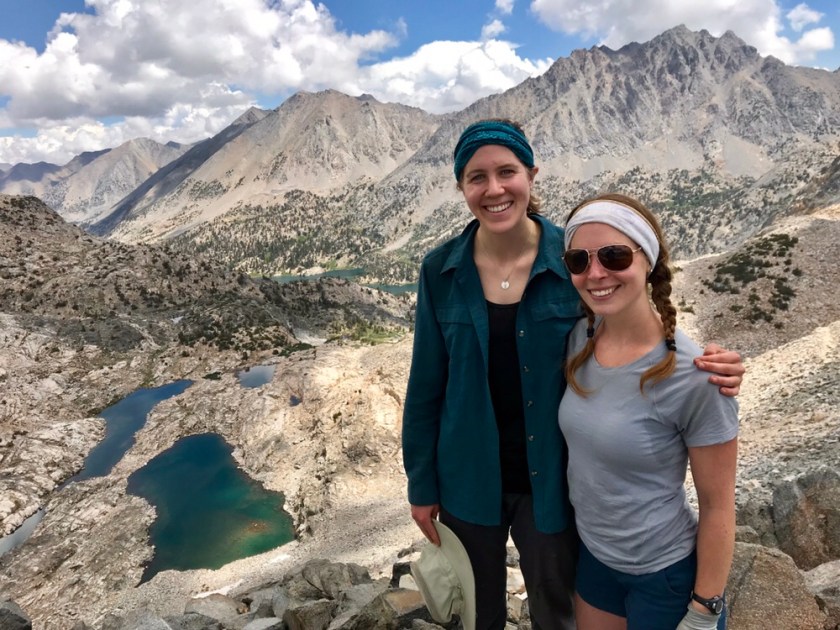
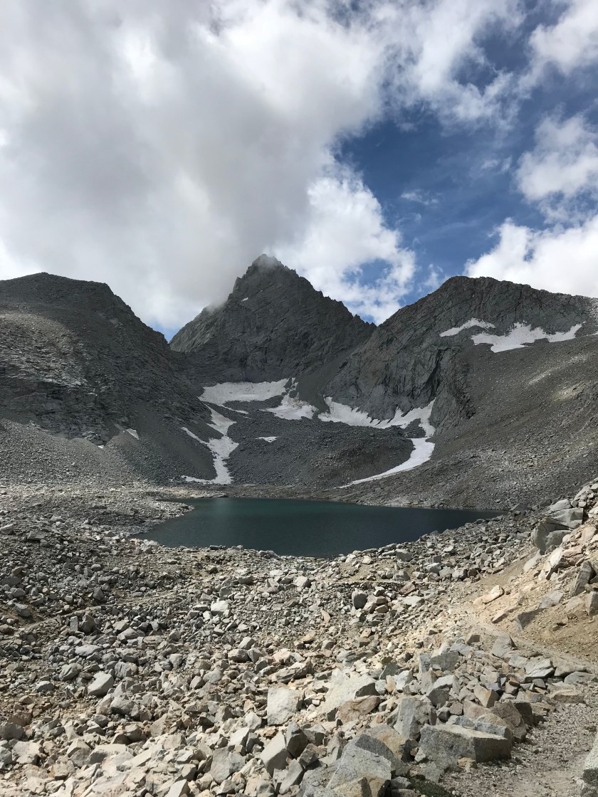
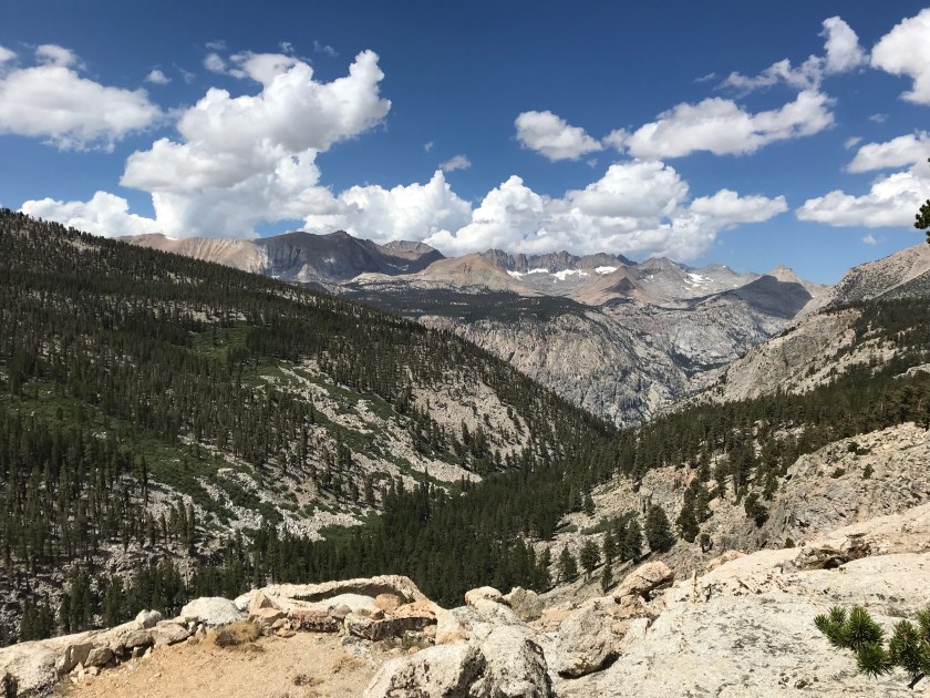
After the first few miles, things settled down and turned “flat”. I enjoyed it until the last 1/2 of the pass. But I gotta say, I’m a fan of going North, just because of the gentle grade of the passes this last half of the trip. The way up going SOBO looks way more intimidating and less friendly. But there is a trade off for these smaller elevation passes… less of a view. And they only get smaller from here on out. I was spoiled by the grand views of Forester Pass. I’ll be daydreaming about those breathtaking views for the rest of my life. Once atop Selden Pass, I spoke with some hikers and ate lunch. Being exposed and in the sun, I didn’t stay up there too long and set back down the pass.


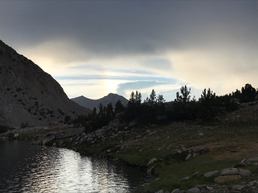
Today, just after getting back on the trail, I observed complete sounds of nature. Now I’ve experienced it before on this trip, plenty of times, but being by myself added to the magnitude of silence I was at that time listening to. While going up a set a switchbacks just before Selden Pass, it was early enough where I had the trail to myself. The atmosphere was devoid of human made sounds. No airplanes, no cars, no music, no frivolous conversations, no clumsy feet or trekking poles accidentally kicking rocks (my specialty). Just nature. Once my heartbeat stopped drumming in my ears and I swatted all the mosquitoes and flies away, I was fully immersed by deafening nature. The sound of the distant stream, the gentle breeze, the sing song chants of the birds flying amongst the clouds all put me at peace, just at time when peace was needed. When surrounded in a world full of constant stimuli, it is beyond refreshing to experience a world so quiet and unadulterated, where humans have yet to fully inhabit.
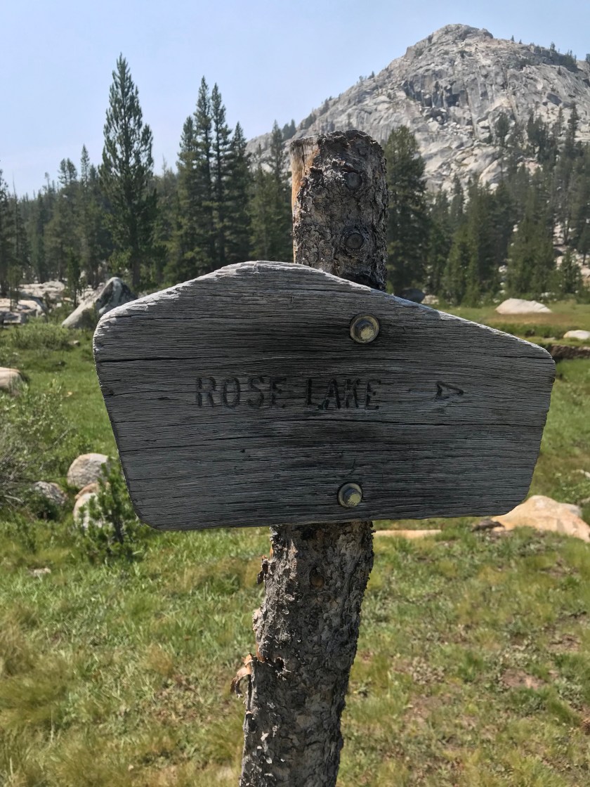
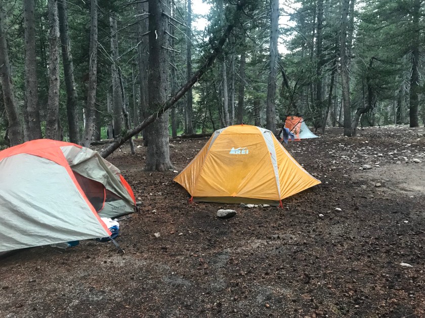
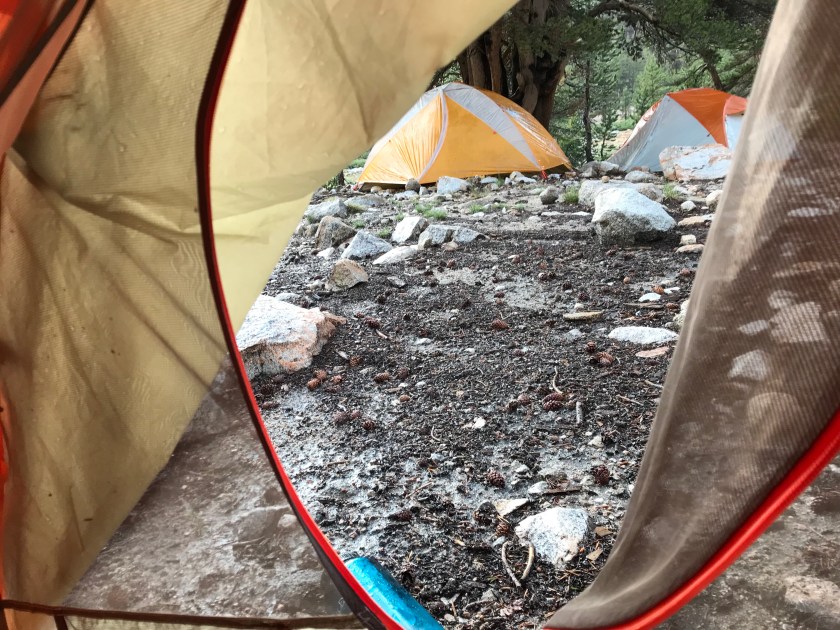
Hiking such a trail in such wilderness alone is intimidating. Though I’m confident in my abilityies to solo hike and I rarely go 15 minutes without seeing another human being, you can just not prepare for the unexpected. Needless to day, the prospect kept me up last night (that and the fact that the campsite kinda creeped me out). But there are signs out here that I’ll be just fine and that I actually am not truly alone. My grandmother promised me that she’d be watching over me, keeping me safe. She sent a sign (literally) today, of all days, that she was keeping that promise. I passed by Rose Lake Junction, and seeing as her name is Rose, I know it wasn’t just a coincidence! I know she’s up there, keeping a watchful eye, giving me confidence for the days to come.
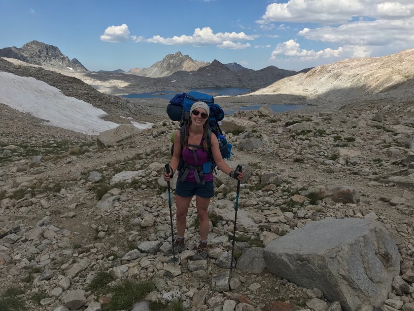
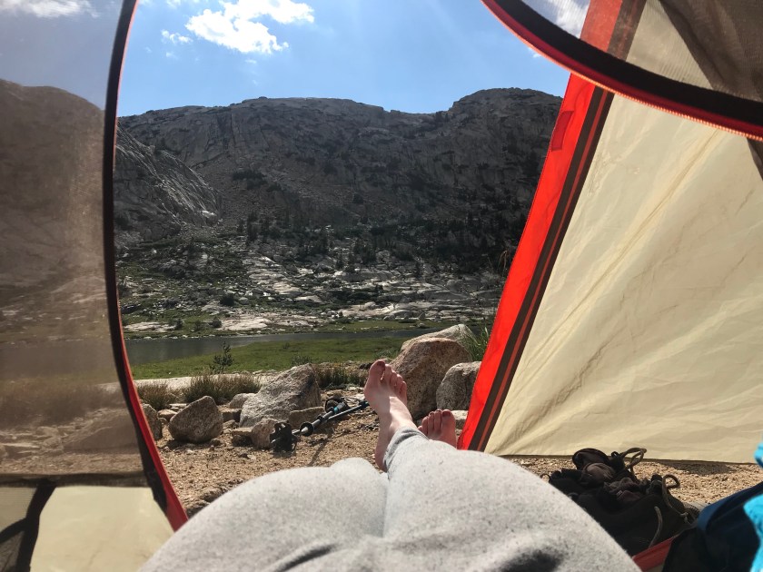
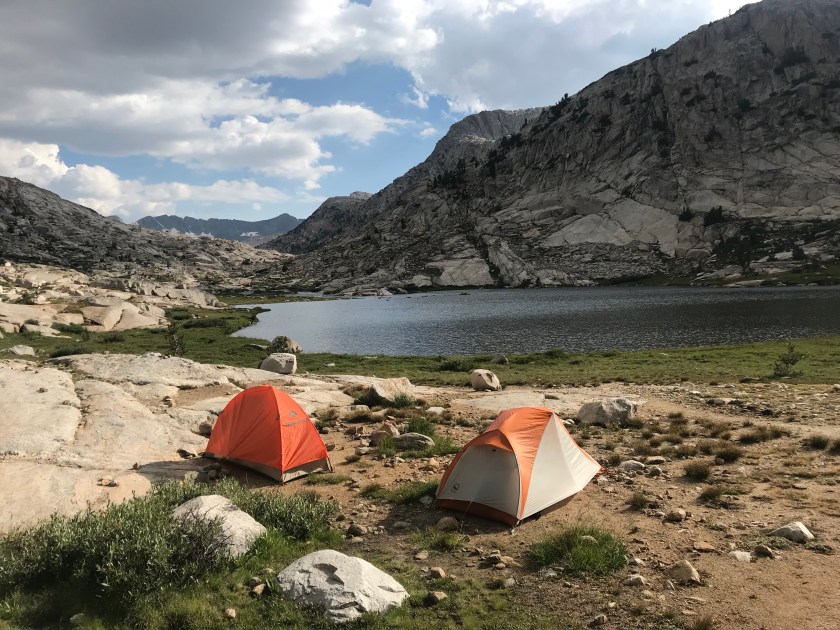
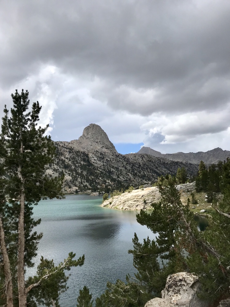
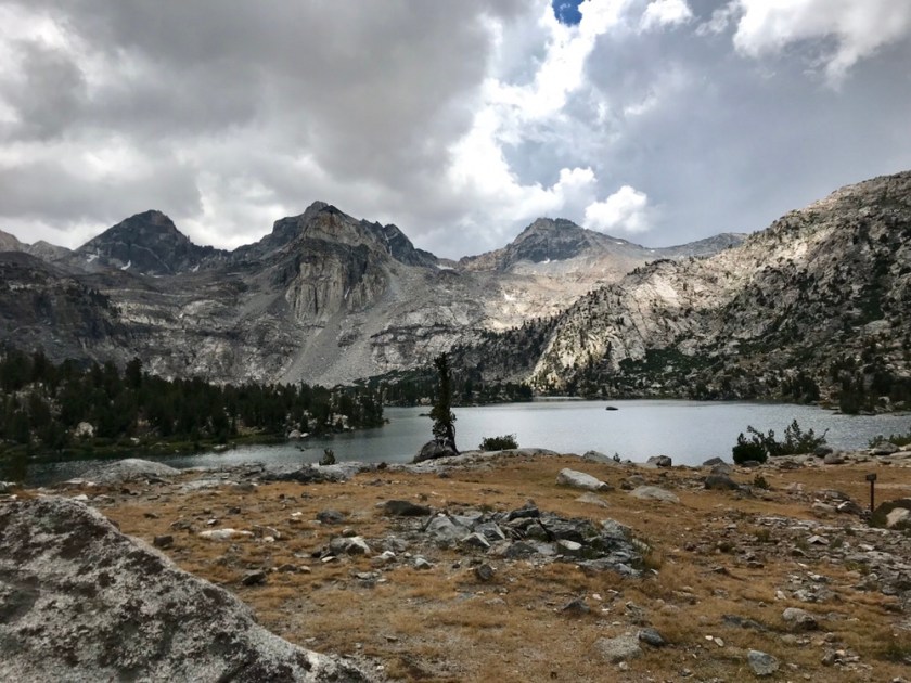
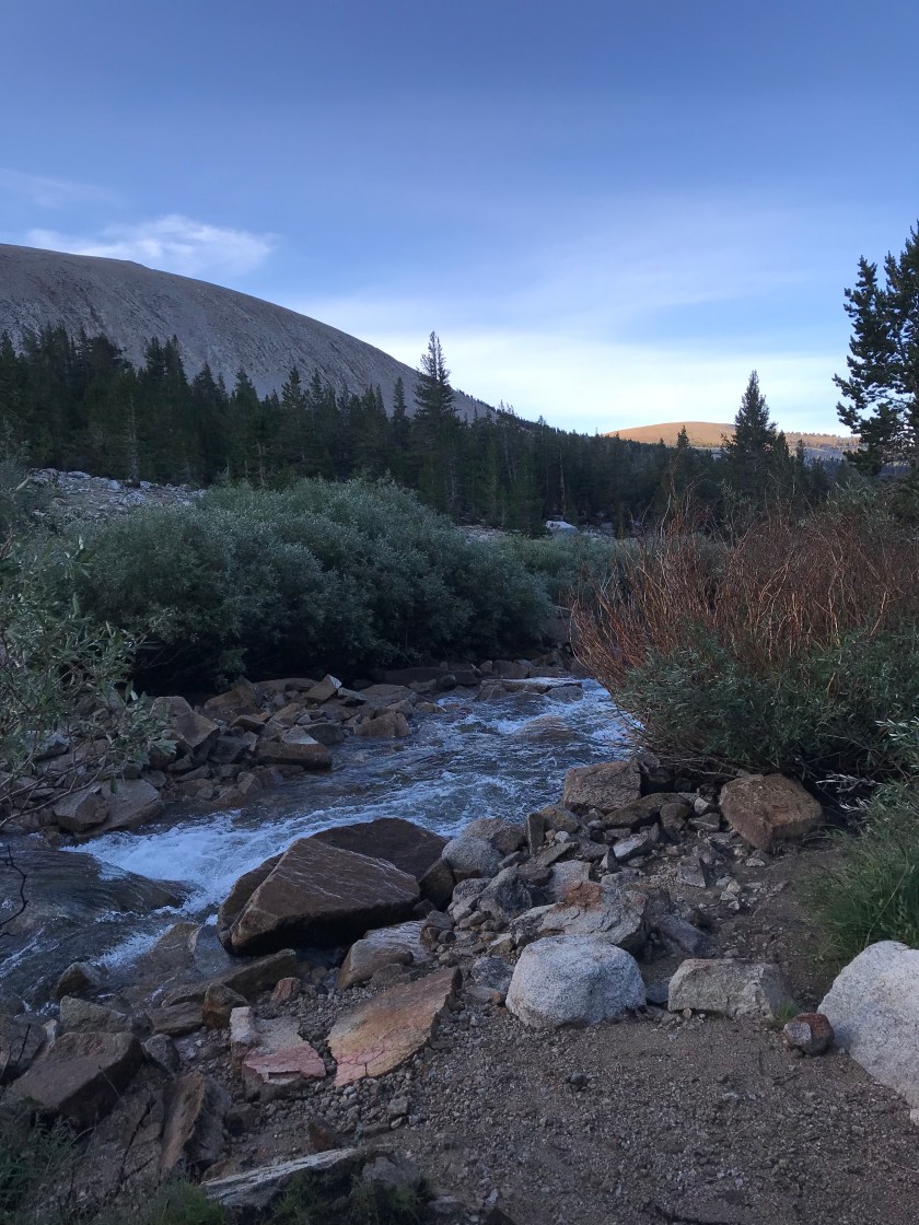
Today was a long day. In fact, it was the longest mileage day yet! That because I got over be pass before 11:30am and felt great. I also want to try to get to VVR tomorrow early tomorrow for the 9:45am ferry. By going further today, I only have 5 miles tomorrow to the ferry, making it easy to make that time. Otherwise I’ll be waiting around until 4:45pm, no thanks! Marybeth, if given the okay by the doctors, will likely meet me at VVR, so I’d rather get there early and just relax. She’ll let me know by tonight. If she isn’t able to make it to VVR, I’ll likely just skip it and head to Red’s Meadow. Although VVR is a staple stop for JMT hikers and offers hot meals and free beer to hikers, I would rather push on. More so than food and especially beer (yuck – at this altitude I’d be hungover for days), I’m craving communication with friends and family. I need to make sure little Addie is okay! The person who is sharing a campsite with me has a dog – ugh I might steal it for the night!
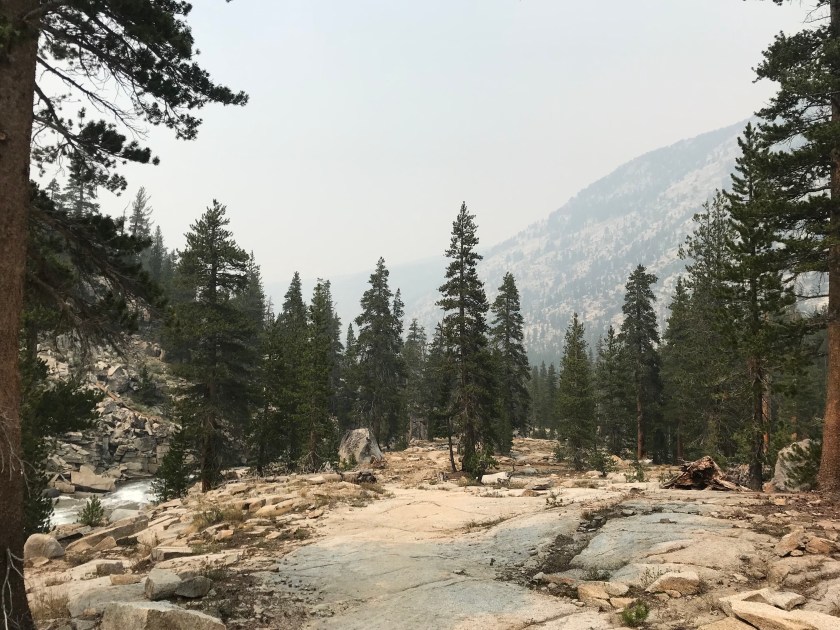
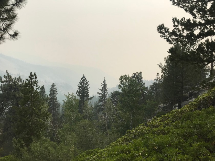
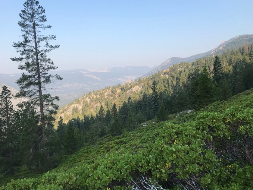
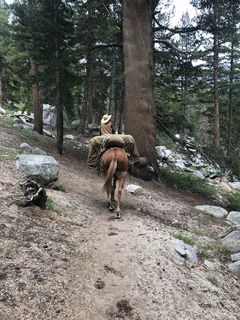
The smoke was the worst it’s been yet today. As I learned on the Pacific Coast bike tour, winds out here tend to blow from the North down to the South. Seeing as any of the fires are North of here, the wind is blowing the smoke right our way. A cowboy leading a mule train told me, “howdy Ma’am, welcome to the most beautiful part of the trail!” News to me, I can’t see anything through the haze of the smoke!
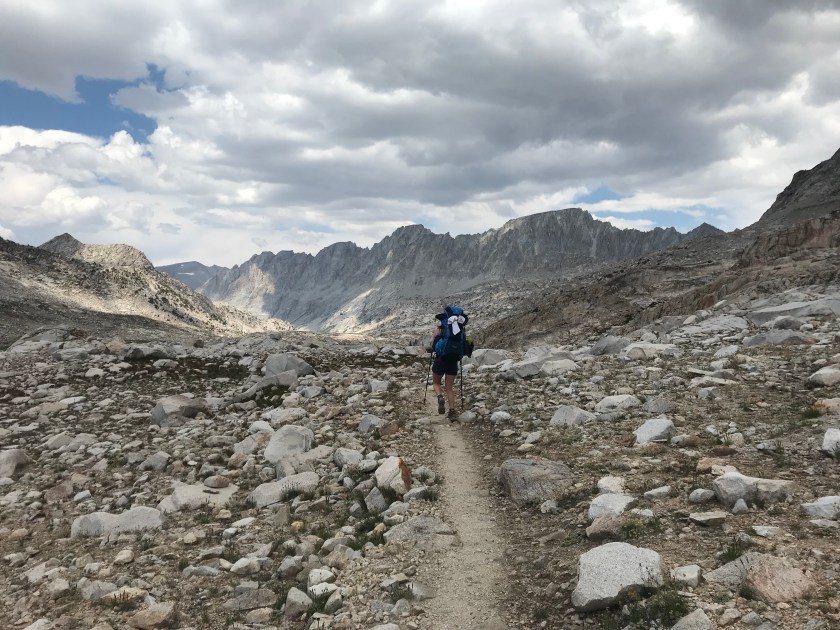
I officially have less than 100 miles. And with 10 days to complete those miles in, I feel confident that I’ll be able to achieve my goal. Unless, of course, something befalls me!


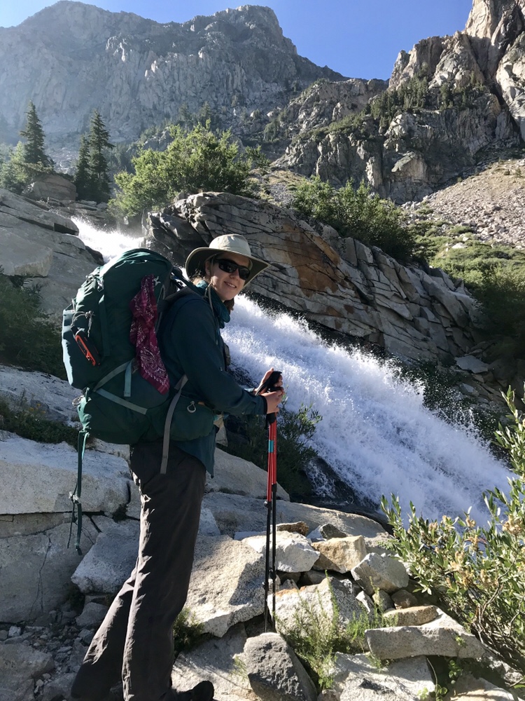
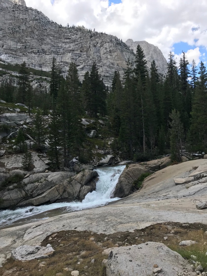
 We had a huge descent this morning, a nice change of pace. In fact, I believe we descended the Golden Staircase but I’ll have to look into that. *yes, indeed we did* The views were beautiful, as always. The lake was gorgeous and we saw plenty of waterfalls. The last 2 miles into Leconte Canyon were all uphill, but that didn’t bother me much.
 Today was, however, hot. And the ascent into the canyon was all in the sun. I felt overheated in a tank top and shorts. Imagine how how horrible Marybeth must’ve felt in long pants and sleeves for sun protection! Don’t worry mom – I use plenty of sunscreen and have not gotten even one tiny patch of sunburn.


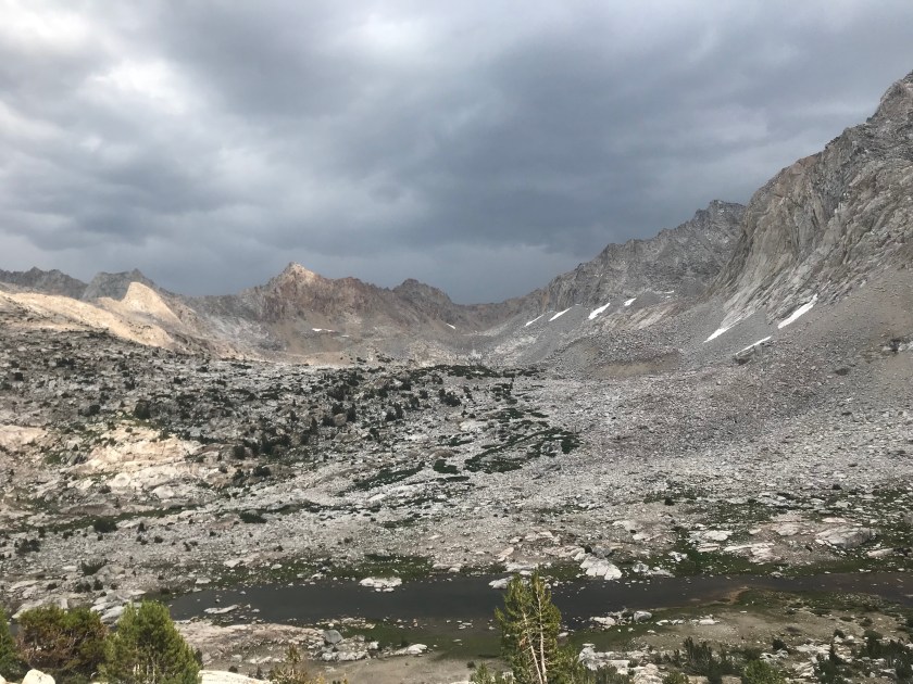
 We got into camp at 1:30pm and just plopped down our packs and our exhausted bodies. Guess what else decided to plop down with us?! Raindrops! But they weren’t bad raindrops. They actually refreshed us. After eating some lunch and the rain cooling things off, we discussed going further today to make tomorrow’s trek over Muir Pass easier. For some reason, I’m terrified of the 3K’ climb over 6 miles. I wonder why?! Just as we decided to go 1.7 miles further, I recognized the two SOBO hikers I met in Reno! A Dad and his young son were planning on hiking the whole trail in 17 days – and they were 5 miles ahead of schedule! Absolutely crazy. It made my day running into them. They were in good spirits and and definitely on their way to accomplishing their goal. Marybeth and I went on our way and as soon as we reached the exposed granite, it started to pour and thunder. 9 days of rain in the Sierras. Unbelievable. We ran into a ranger who reassured us the next few days were looking better weather wise. She also informed us that Yosemite Valley is closed due to wildfire and smoke. Yikes. I really hope it’s cleared and open by the time we roll through! The father and son told us that when they started, it was so smoky they couldn’t even see Half Dome! And that was a week and a half ago. Sheesh. After a 1.7 mile climb, we finally rolled into camp. We’re sharing it with a SOBO JMTer who started only 8 days ago. Talk about intense. He gave us a run down of what’s ahead and to check out VVR and Reds Meadow. While talking, a brazen deer came over and attempted to steal and devour his glove. The deer here have zero fear. They roam around the camp and come right up to ya looking for a handout. Sorry no luck buddy!
  By the title of this post, you probably think I’m in a rush to get done. No, absolutely not. I adore being out here, I can truly see why John Muir and anyone else lucky enough to experience the Sierras fall in love with it out here. It’s really magical! I just really miss my dog (I have dreams about her every night), I miss my bed (my air mattress has a small unidentifiable leak that doesn’t make for a comfortable nights rest – plus sleeping in my bed means snuggling with Addie), I miss real food (I can hardly stomach freeze dried dinners anymore), and I really miss Sunday night dinners with my family (where Mom makes great food). Although I wouldn’t trade being out here for anything in the world, I feel myself dwindling away. My pack isn’t fitting me right, causing nasty chafing and rashes. My hip still hurts and constant pain has a way of wearing you down. But end of my venting. I’m looking forward to Muir Trail Ranch, VVR, and RMCG. I’m also happy we’re all the more closer to Muir Pass! I’m off to bed – going to snuggle my phone (to keep it warm and preserve battery) and pretend it’s Addie!


 I didn’t take many pictures today because I just threw on some tunes and kept my head down. Although today was spectacularly beautiful, my body is tired and lacks the enthusiasm it had a week ago. Oh man. A week ago. Back when I was puking at 11K’ and didn’t think I would survive. Thank god I haven’t felt like that since.
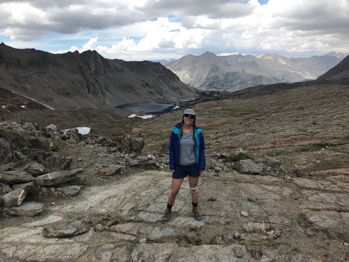
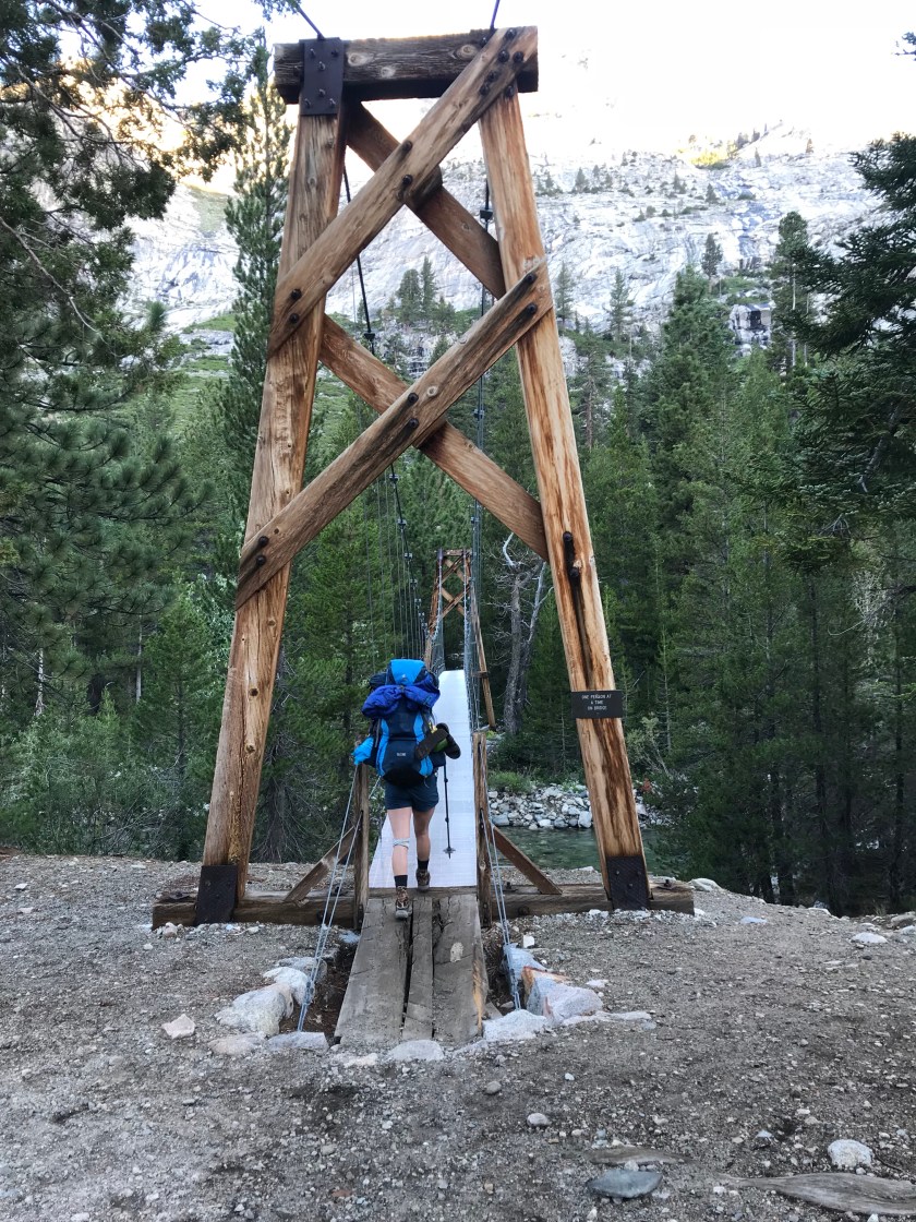
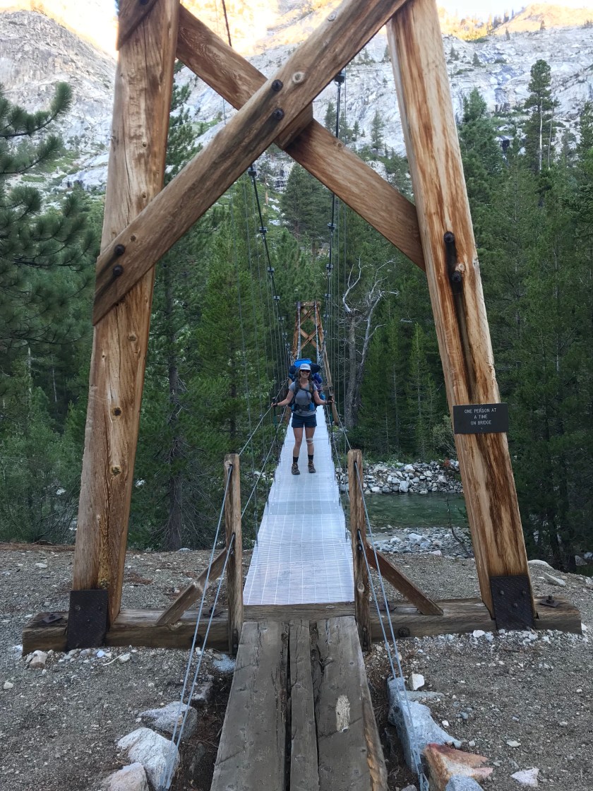
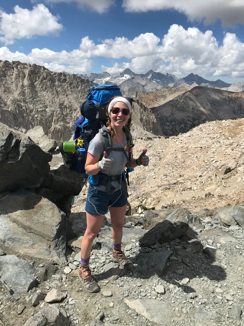
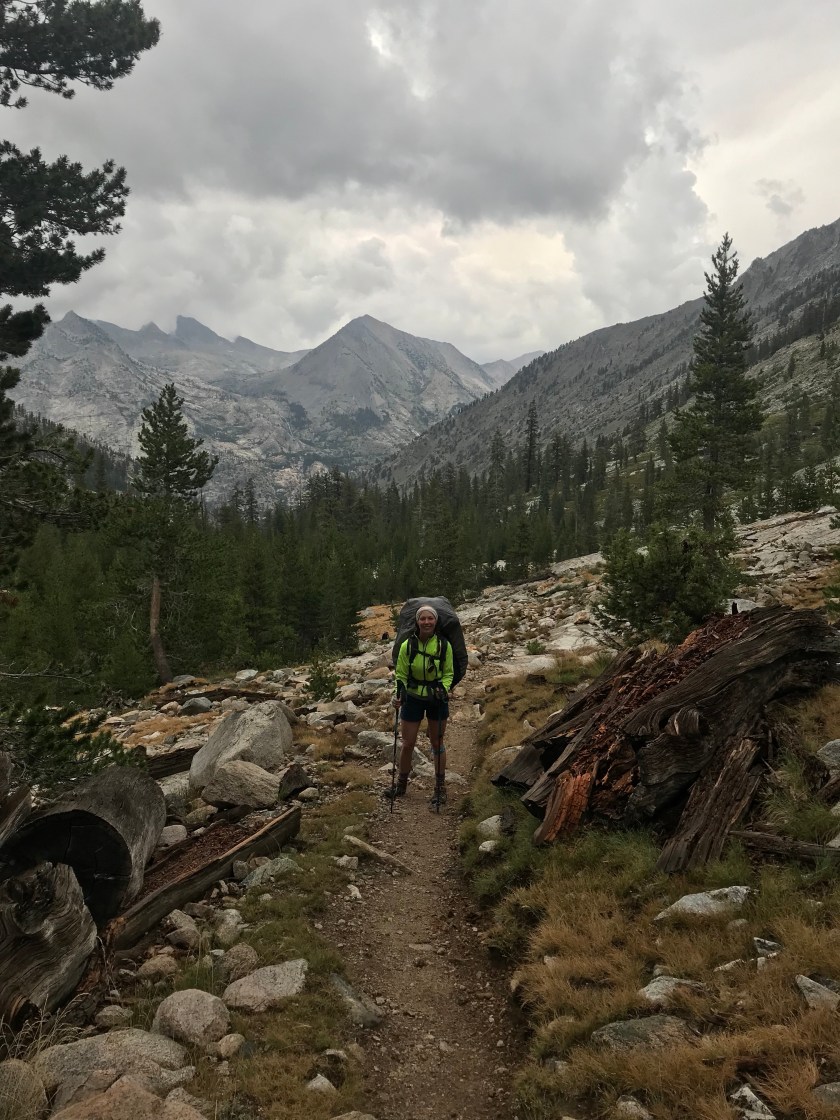
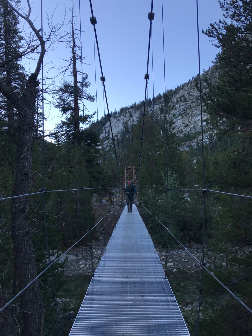 ^^crossing the infamous suspension bridge!Today was a horrible day. Let me explain why. After the bear fiasco yesterday, I had trouble sleeping. I was convinced he would come back knocking – and not looking for a snuggle. But I survived without a visitor. Marybeth and I departed at our normal 6:30am time. Perfect for a mere 9 miles! Ah, not so fast – literally. My hip is no good. Is it too early for a hip replacement?? So I took it slow. I told Marybeth I’d meet her st Sawmill Pass junction so as to not hold her back. A little bit of time passed and I checked my GPS. 0.8 miles to go at only 9:30am. Aside from the hip, I felt good. I should be there soon! I looked up from my phone and was instantly disoriented. I lost the trail but after looking around, I found it and off I went. Down. Down. And down. I began to get suspicious – I should be gaining elevation, not losing it. But I kept going. Until passing a father/daughter I saw last night who were going the same direction as us. Now they were going the opposite. Wait a minute. Something is not right. Instantly I whipped out my GPS. 2.1 miles until Sawmill Pass “WHAT?!” (With a lot of other colorfully worded words that scared a passer by-er). I was going SOBO! How?! I was instantly concerned by how disoriented I was. Was I dehydrated? I had already drank 3L of water, but I begged and electrolyte packed immediately. Was I hungry? Maybe – my appetite is still low. My hip belt is already as tight as it can go. I ate a small snack and off I went to meet back up with Marybeth.
  Nothing looked familiar. Likely cause I kept my head down the entire time due to the hip pain. And I was so stuck in La La Land thinking about how I was going to audition for Survivor when I get back. The hip pain was gone, with adrenaline pumping through my veins I felt nothing. With 2.1 miles, it could take me forever to get to the junction! Marybeth surely would’ve put out a search and rescue call by then, ha! But I gritted my teeth and eventually made it at 11am. Record timing. I collapsed at the sight of Marybeth in a tearful state. Marybeth thought my hip was so bad that it took me so long to get there. Nope. I’m just an idiot. The tears continued to flow due to frustration and the realization that we still had 4 miles to the dreaded Pinchot Pass. I felt horrible making Marybeth wait for my dumb mistake. But she had some sobering news – Sam was not going to return. That put things into perspective for me. Yes, I had a crappy morning. I was exhausted. But Sam would’ve been so happy to be in my spot. As would anyone else who got hurt or couldn’t get a permit. So quit your pity party and enjoy being in this beautiful wilderness!Pinchot Pass was a bear. Mainly because I was so exhausted from the hullabaloo of the morning. But I got up it and it wasn’t so bad. Left a lot to be desired view wise (oh I’m spoiled aren’t I? I blame Forester) but it was still nice to be on top of it.
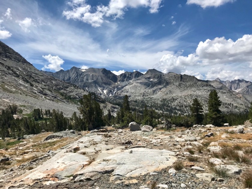

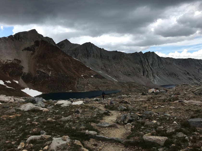
 We didn’t stay long because storm clouds were approaching. We only had 1.9 miles left to Marjorie Lake. Wouldn’t you know it – it started to rain and hail. And lightning. Right in front of our faces. We were still over 11K’ and totally exposed. We assumed thunder position for a few minutes until it died down a little. Wow did we feel the burn in our quads! After 1/4 mile we found a tree for shelter till things looked better over Marjorie. I fell asleep and woke up half frozen to death. I put on some clothes and we figure now was as good a time as ever to hike the half mile down to the lake. And just in time! Once our tents were up, it started to rain. As it has been the last hour and half. I’m so sick of it. It’s so defeating being stuck in a tent watching all of your stuff get soaking wet for 7 days in a row. And there’s nothing you can do about it. Go away monsoon, no one likes you!!
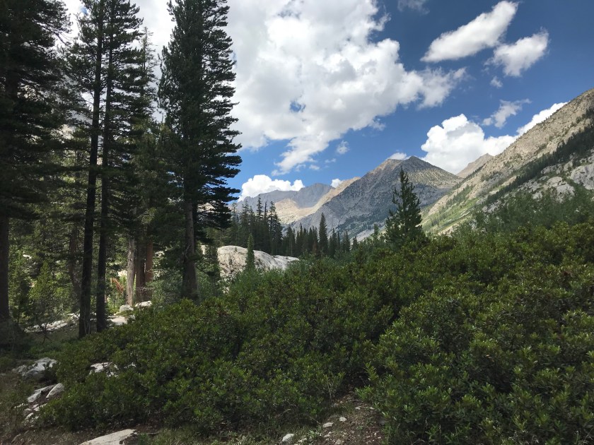
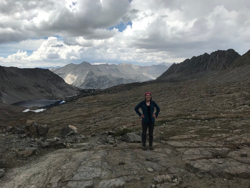
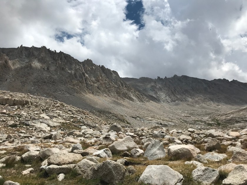
 We have our 4th pass in a row tomorrow. Mather Pass. Our last one for a while. And after him the elevation of the passes gets progressively lower. Woo! My hip will rejoice!!


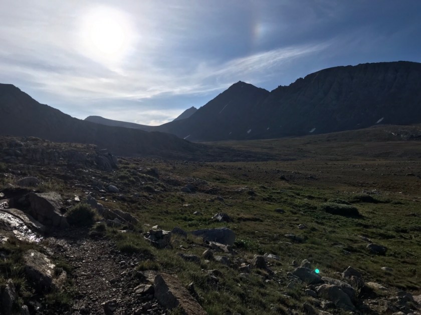


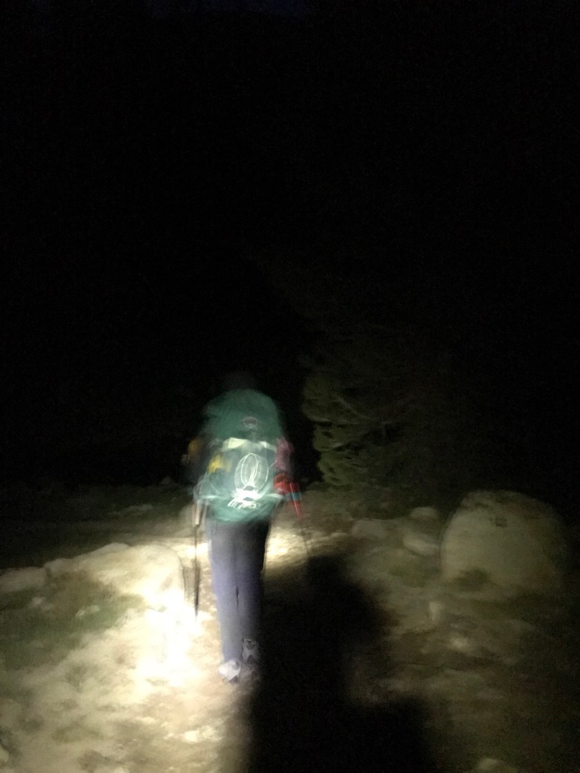
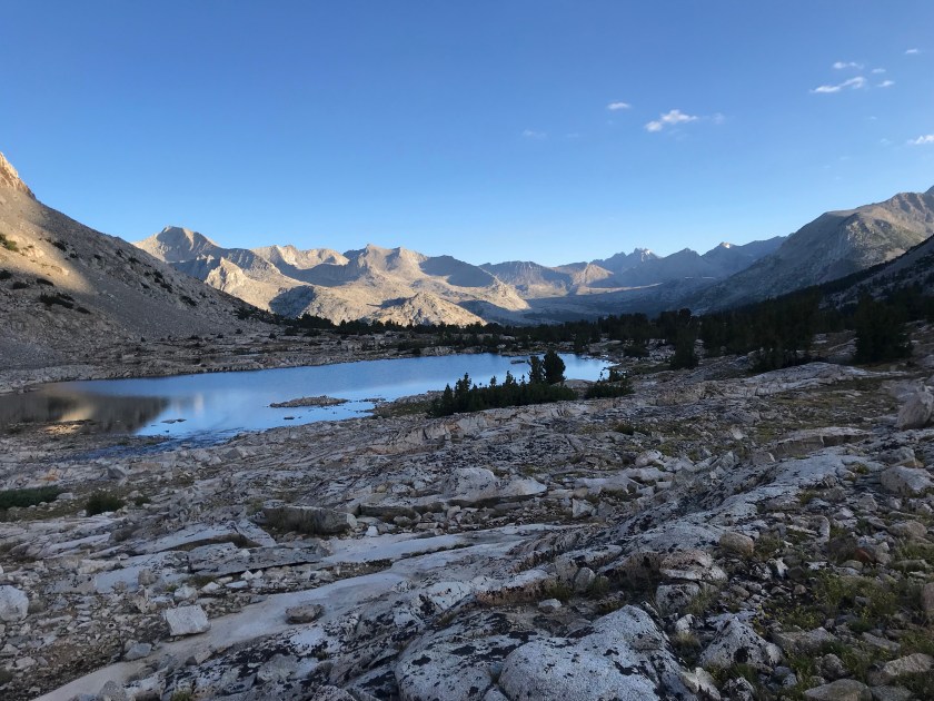
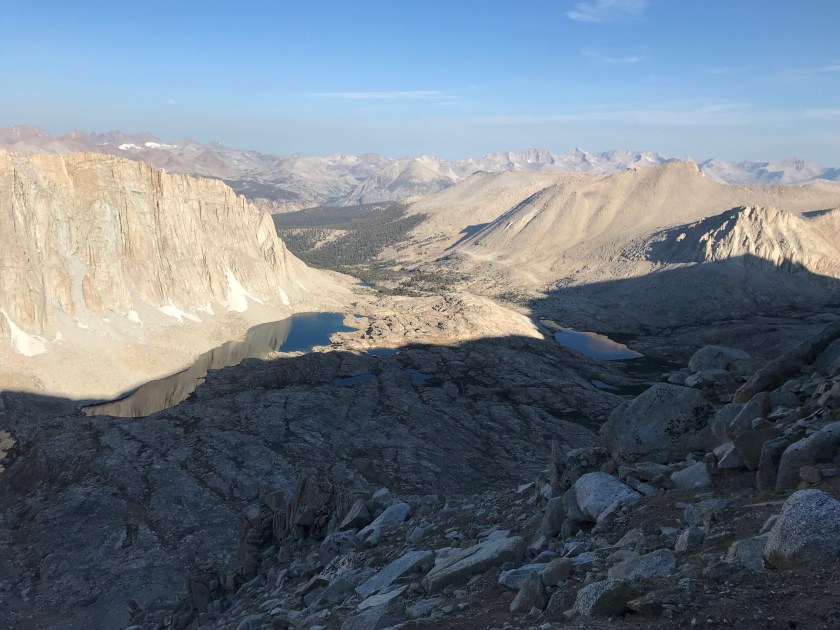
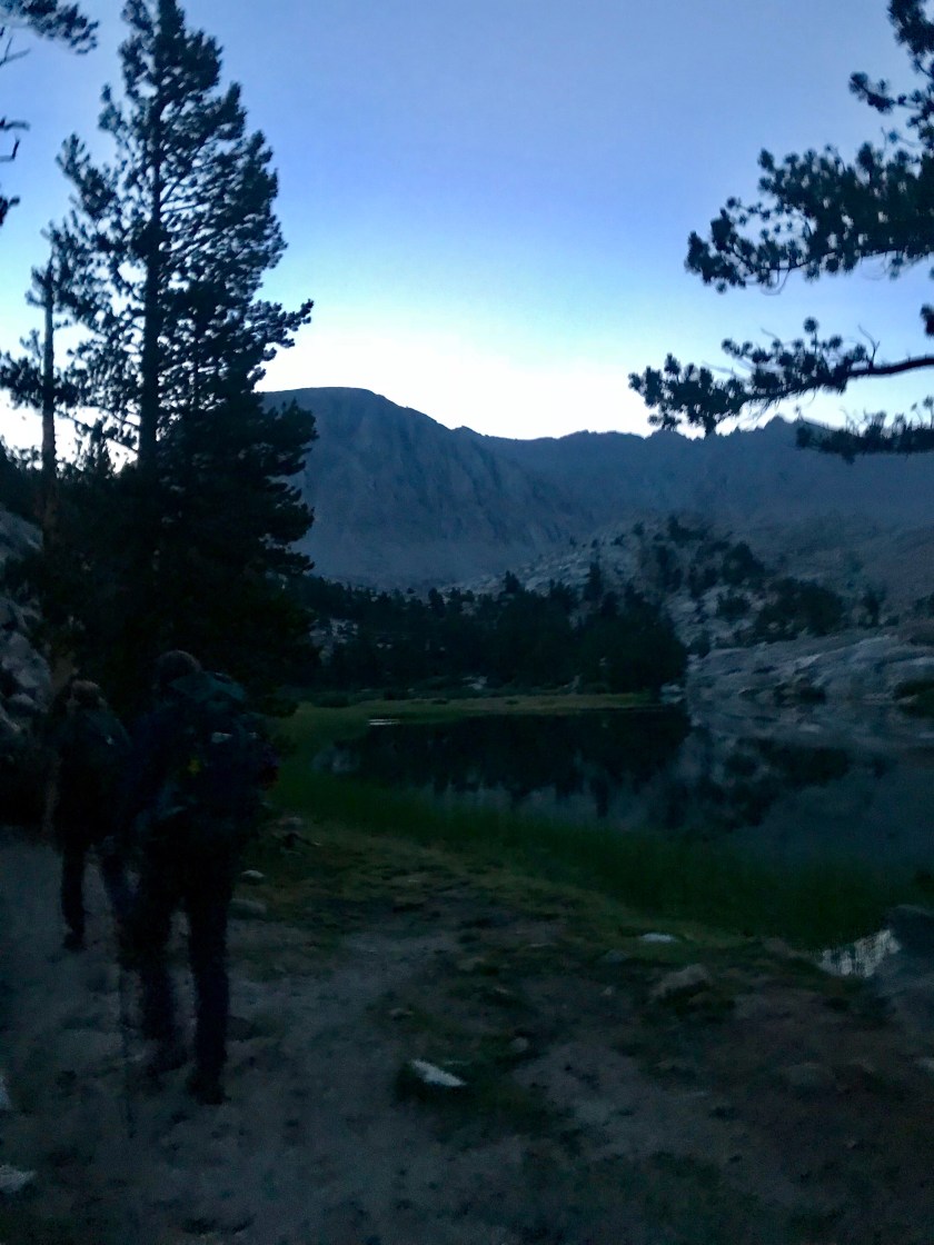 Being so early, the sun was far from rising. We had to use headlamps to guide ourselves through the dark for the first hour, which flew by. Soon we made it to the infamous Guitar Lake. I’ll give ya one guess as to why it’s named that. A lot of people just finishing their SOBO trip camp here for a shorter hike up Whitney and a more convenient exit point out of Whitney Portal.
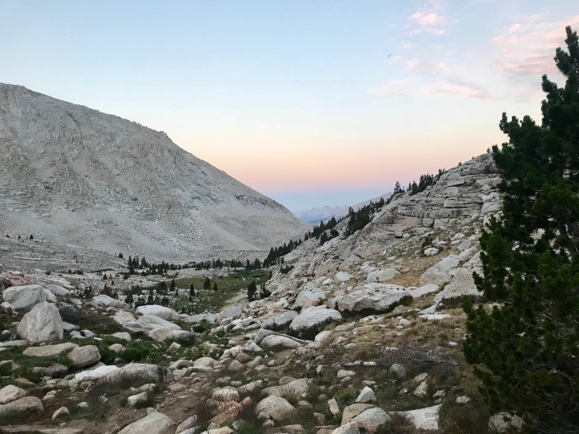
  The lake was stunning and we got to see the sunrise over the background mountains – bathing them in a pink glow. Stunning.
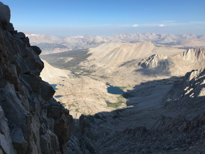
 After Guitar Lake, we hit some pretty major switchbacks to the Whitney Trail Junction. I knew that if I made it up the roughly 1.5K’ climb, I would make it to Whitney! With my mantras on repeat and taking it slow and steady, I found myself feeling great! The only time I had any doubt was when a rock slide occurred on the mountain directly in front of us. It was an identical mountain to the one we were climbing. What if that happened to us?! But we were safe from that natural disaster, at least. As Guitar Lake got smaller and smaller, I realized that I had made it to the junction! I couldn’t believe I made it before I knew it.
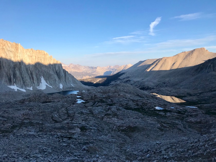
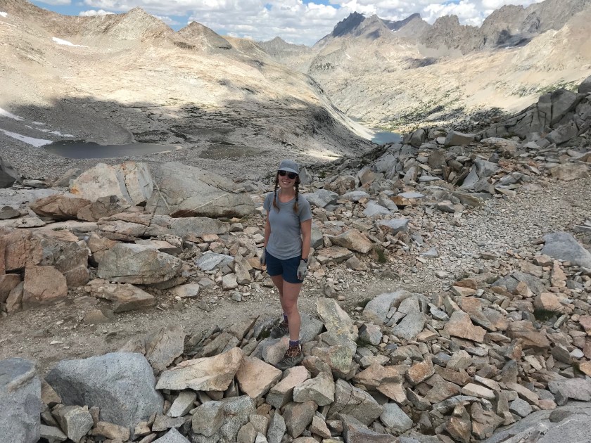
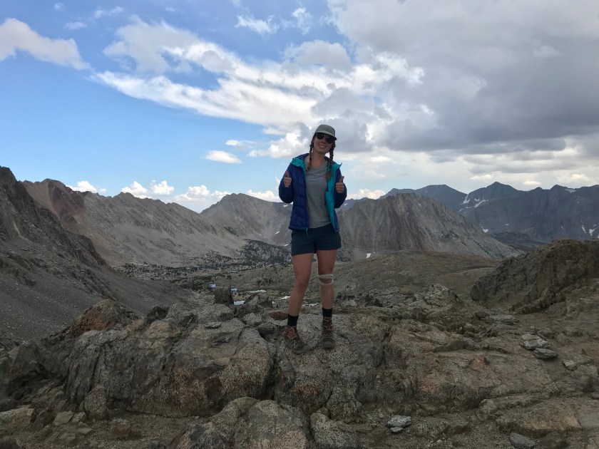
 At the junction, a lot of people who are entering or exiting through Whitney Portal tend to leave their packs so they don’t have to lug them up to the summit. Opportunistic marmots have learned this and savagely tear through packs to get to food. The fat little things have no fear of humans or other vicious marmots. In fact, one of the SOBO hikers just finishing up said he heard a story where a hiker saw two marmots fighting over food. One of them tore out the other’s throat and started going cannibalistic on his fellow species. Rather graphic, I know, I found this story hard to believe. Likely just a hiker wives tale. From the junction, it was “only” 1.9 miles to the summit with a 1K’ elevation gain. Those last miles weren’t easy, but wow were they special. They were breathtaking. But as I learned, with beauty comes danger. There were plenty of sheer drop offs with boulder scrambling to boot. With one misstep you could land thousands of feet down. So I treaded carefully.

 I was becoming progressively short of breath, but was motivated by people passing me telling me, “you’re almost there!” Soon I rounded a corner and I could see it – the famed shelter at the top of Mt. Whitney!! I felt elated. The only the separating me from the summit was about 500′ of walking. Though it took a lot of effort, I did it. I got to the summit. And then the tears started flowing. I became emotional because I didn’t think I would ever make it. Had you asked me just 48 hours ago if I would be able to, I’d laugh and say heck no in between vomits.
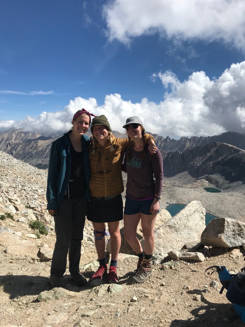
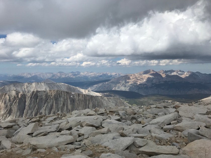
 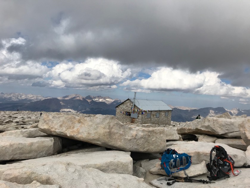 The girls were waiting for me at the top. I made a few tear filled calls (not sad tears – exhausted, joyfilled I MADE IT tears) and snapped a few pictures. Due to impending clouds, we didn’t stay up top long. But I did get to soak in a little of the beauty of being literally on top of the world, with Mt. Whitney being the tallest peak in the contiguous United States.


 We flew down the mountain (downhill is so much more forgiving) and considered jumping into Guitar Lake. But again, approaching clouds of doom stopped that idea.
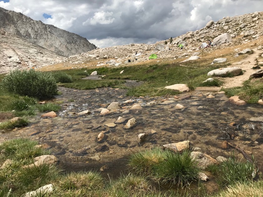
 Unfortunately, in our haste coming down from the mountain, Sam hurt her knee. I’m gonna try to use my career to see if I can help at all. Fingers crossed it helps! We got back into camp at 1:30pm. We joked that all our food in our canisters are going to be gone, stolen by the folks from yesterday. But all was intact. We were beat. Again, rain and thunder threatened with little precipitation. The ranger told us that for the next 48 hours we are in monsoon conditions. Great!
  We’re planning an early bedtime again. I know I’ll sleep well, I accomplished that which I didn’t think possible. I have someone upstairs looking out for me for sure.
