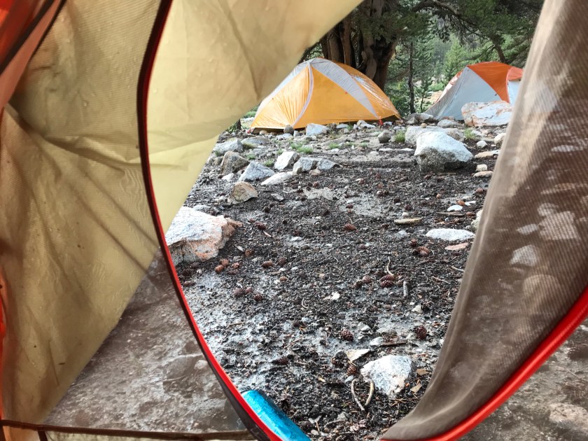
July 21st, 2018; Tyndall Creek – Bubb’s Creek Junction: 13.3 miles
Any guesses as to where I currently am?? 3…2…1… if you guessed camped out inside the tent waiting out another monsoon, consider yourself correct! Ugh. This is getting annoying. At least the thunder isn’t nearly as bad as yesterday!
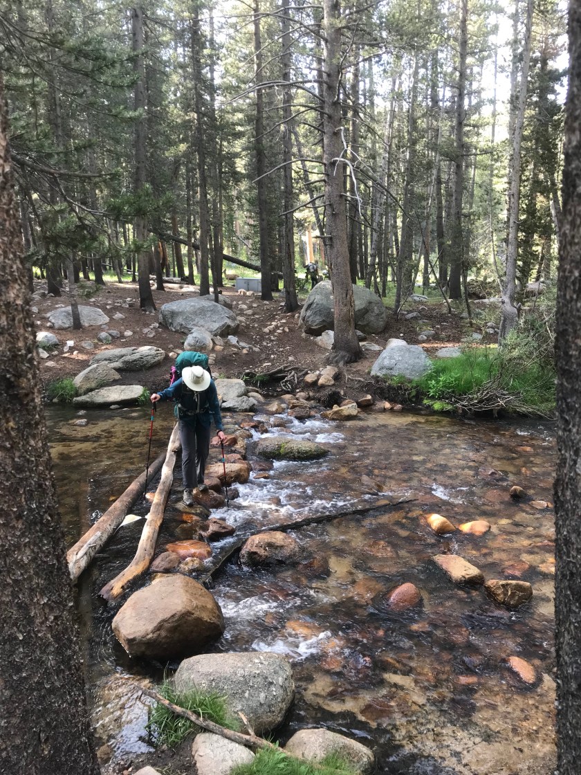
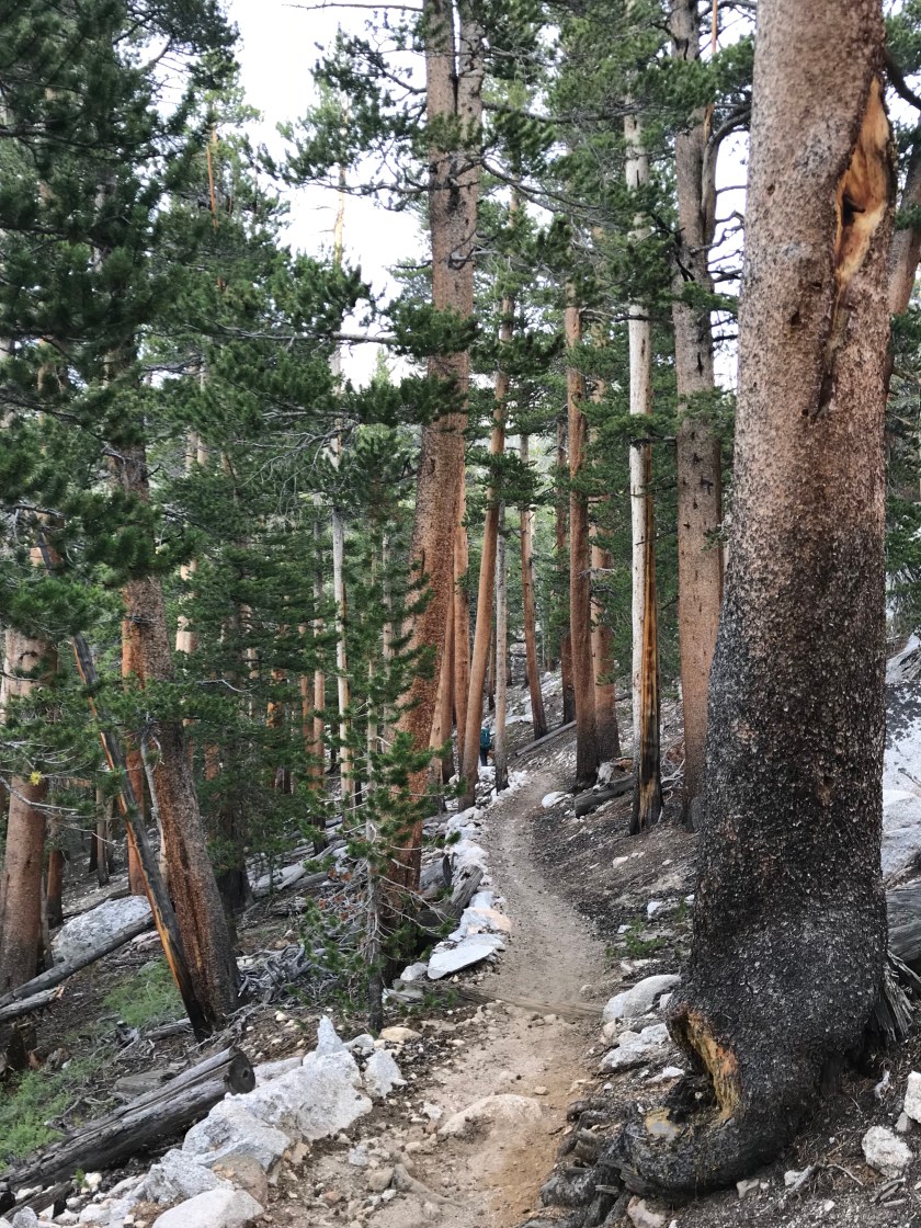
Today started early. I was anxious to cross the river creek and meet with the pack mule. So I packed up my wet gear and set out a little before the girls. I knew the first 5.2 miles were all uphill, so I wanted to get a head start. Within the first mile, I crossed the stream. Though narrow, it was extremely deep. I crossed in water shoes and used my poles to steady myself. Nothing like thigh high freezing cold mountain water to wake you up at 6:30am!
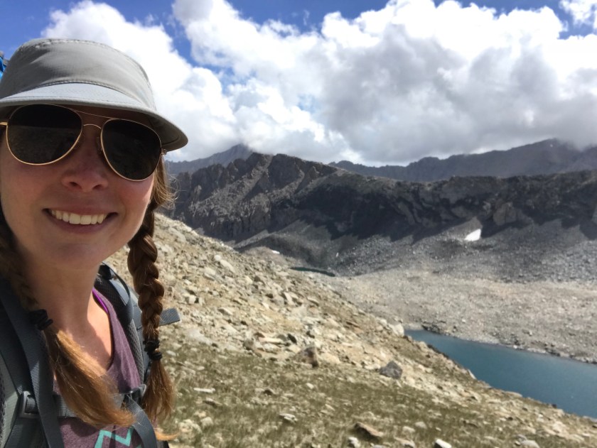
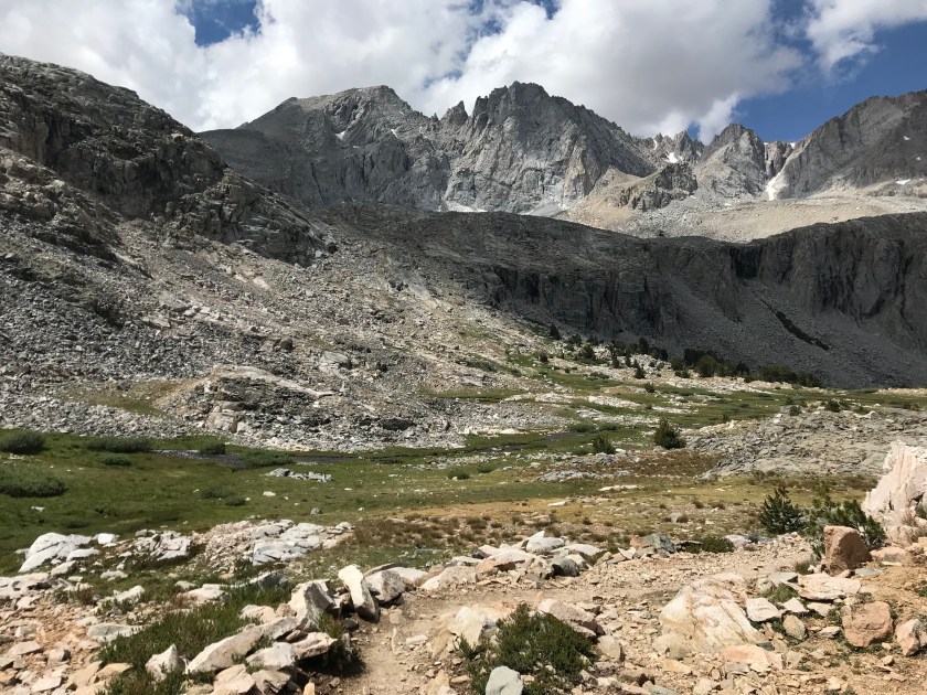
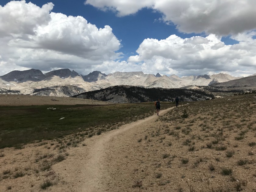
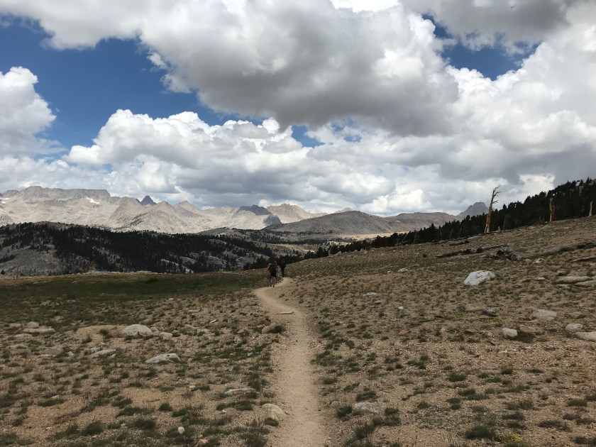
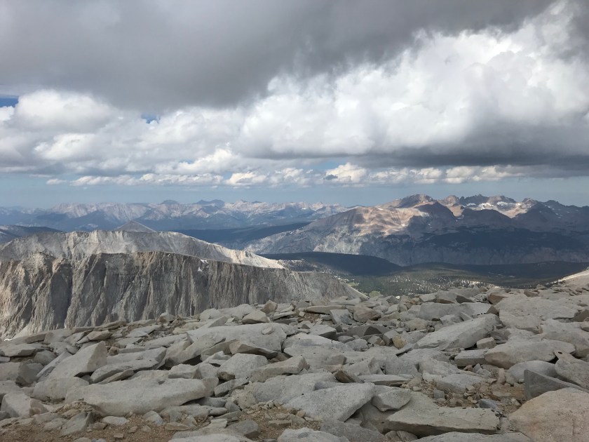
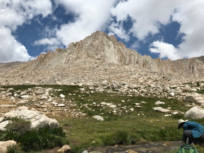
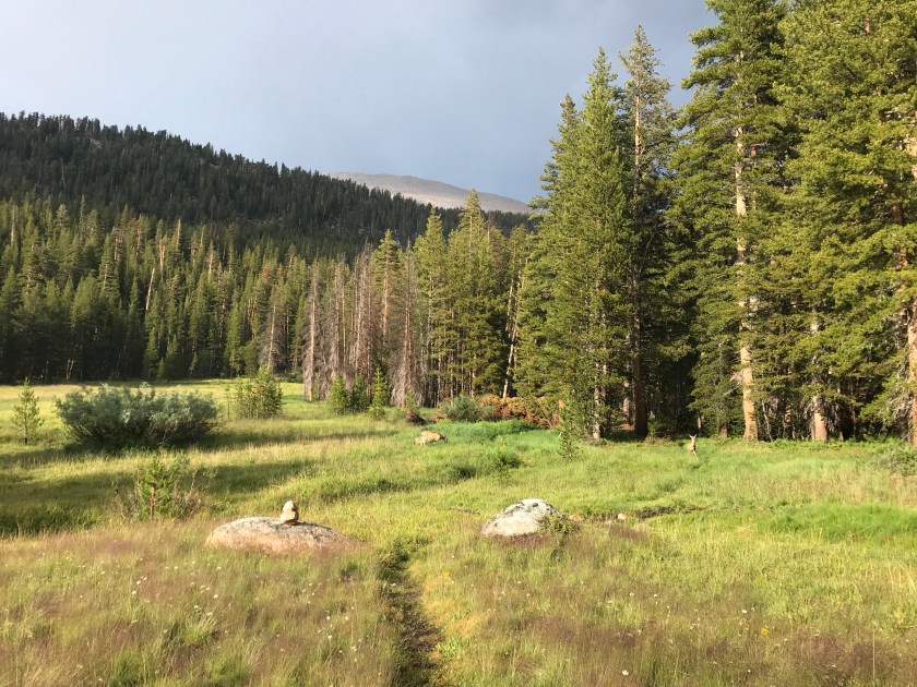
And what a beautiful morning it was. The meadow was stunning and got my mind off the gentle grade climb. I passed a group tour led by a young guy who was telling the group that this time last year the whole meadow was covered in snow. Thankful that isn’t the case now. One of the women in the group called me the girl who looks like Heidi (I’m assuming because of my braided pigtails), I’m glad that name didn’t stick! I slowly but surely made it past alpine lakes, waterfalls, and countless marmots. I lost count after 5 – I wasn’t really into keeping count of potentially cannibalistic rodents.

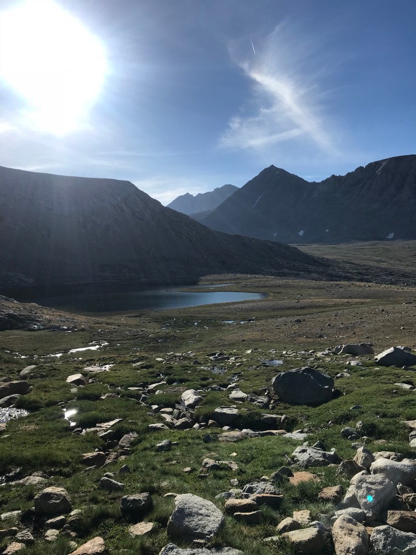
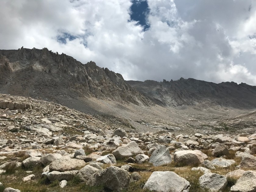
Then, from around the corner, I spied it. Forester Pass. What everyone describes to be the second hardest climb, the first being Whitney. And I already climbed Whitney, so Forester should be a piece of cake! Except it looked way intense. I recognized it from pictures. They made it look gnarly (I’m picking up local vernacular) and treacherous, but in person it looked way worse. It looked like I was about to embark on a journey to throw the one ring to rule them all into the fires of Mordor. How the heck was I supposed to get up that thing?! I couldn’t imagine how anyone could make a trail up such a steep mountain. Thank goodness a couple was camped right before the switchbacks so I could ask them. They pointed me in the right direction. The also told me how they got stuck in yesterday’s thunderstorm going over the pass. They were terrified but made it thankfully.


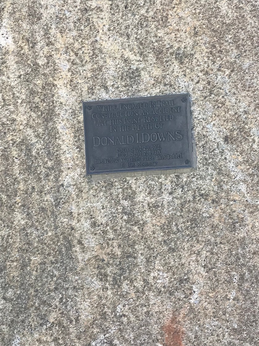
And so I was on my way up. I passed by a marker indicating the death of a young man who was working on building the trail. I stopped for a minute just thinking of the magnitude of what that marker represented.
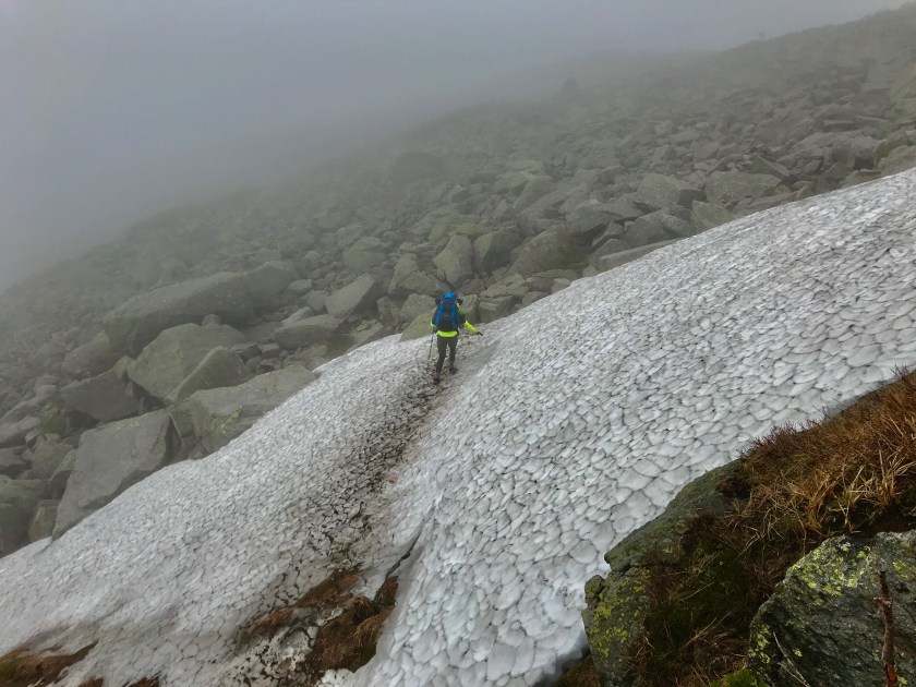
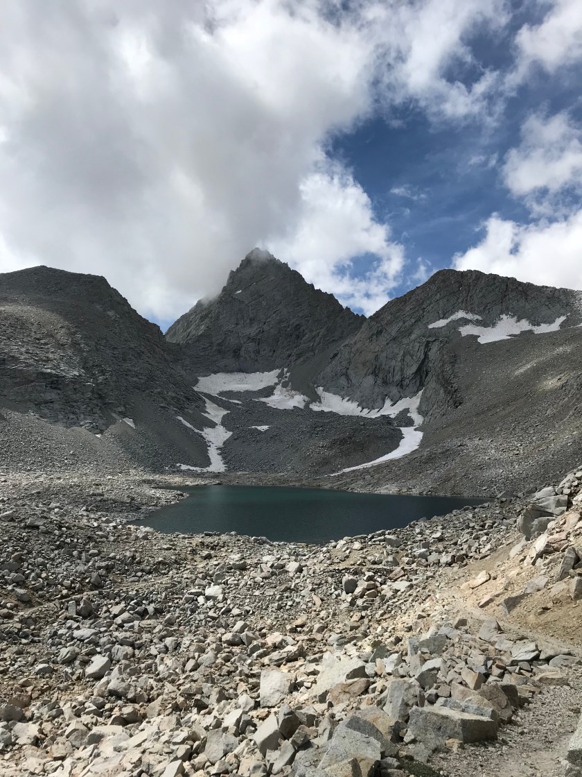
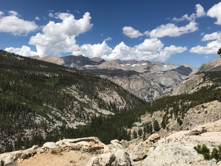
Switchback after switchback fatigued me, but I had music playing to keep me going. A few of the sections were narrow with sheer drop offs that were dizzying and quite unsettling. Caution was taken with every step. Then suddenly, by surprise, I found myself at the top! It was quite crowded with other celebratory hikers but I was too distracted to really notice them. The views. I was in shock. Facing north, I can’t even describe the beauty of what I was looking at. Nor do I want to – it’s something that has to be experienced in person. I was completely awe struck.


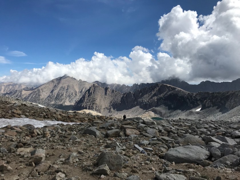
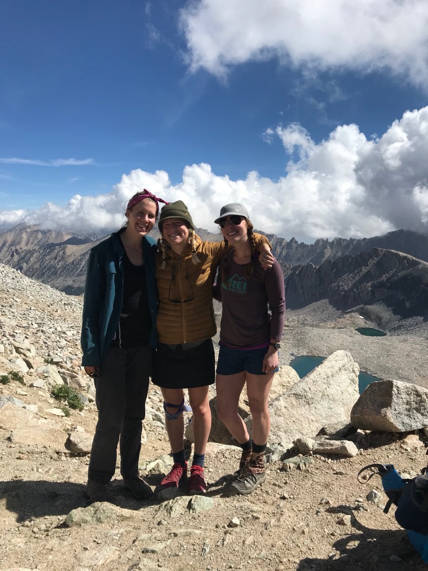
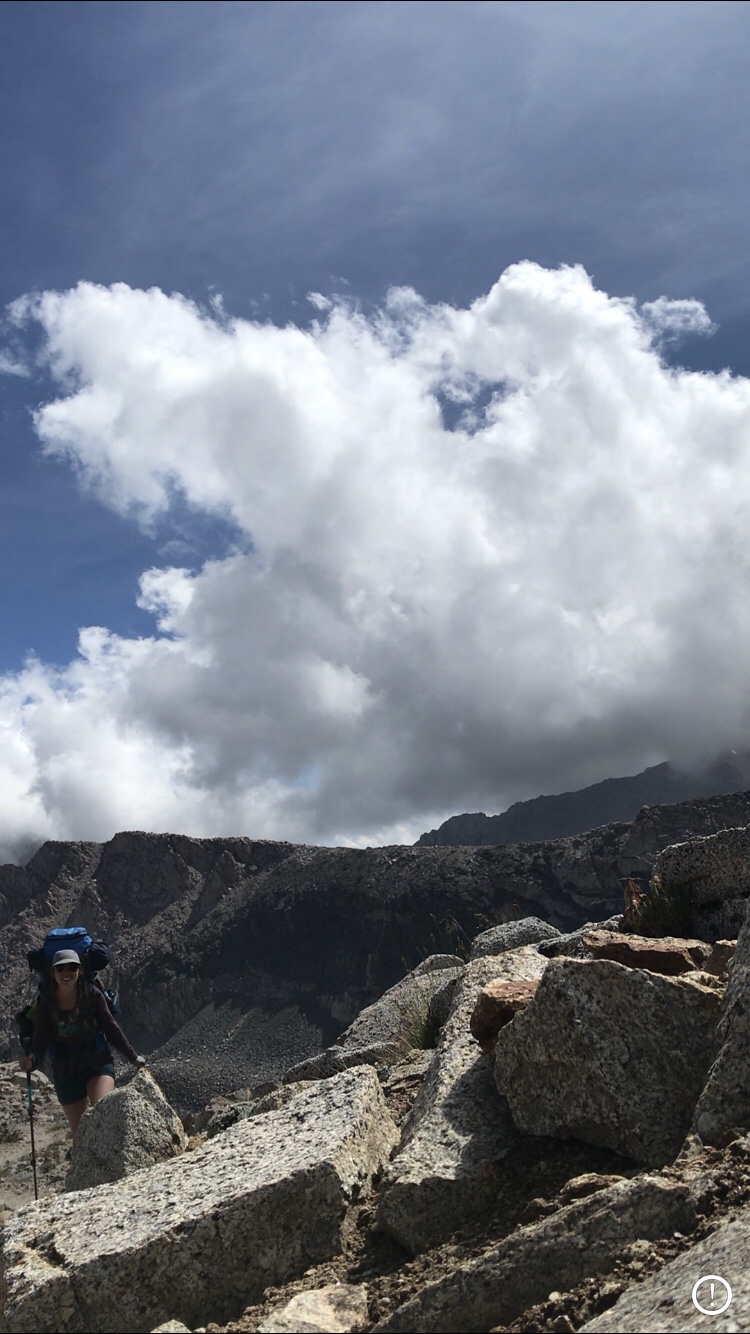
Soon Mary Beth and Sam joined me, along with the guided tour. “Okay guys, we got 3 minutes up here then we gotta go. We have to get to below tree line as soon as possible!” we overheard the guide barking. We looked up and saw why – dark doomy clouds were crashing the Forester party. Since it sounded like he knew what he was talking about, we decided to follow suit. We snapped a few pictures and off we went.


Hikers typically hike the JMT from North to South. So naturally, I was going against the current. The views going North down from Forester Pass makes going the “wrong” direction worth it. I was in Heaven. Cause surely, this is what my Heaven looks like. The 3 miles down into the tree line were phenomenal. I feel bad for SOBO hikers who not only have to go up the pass (they had it way worse than us) but because they don’t have that view in their face the whole time to distract them.

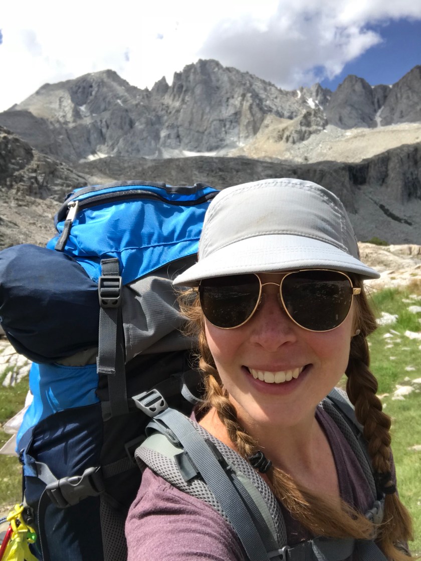
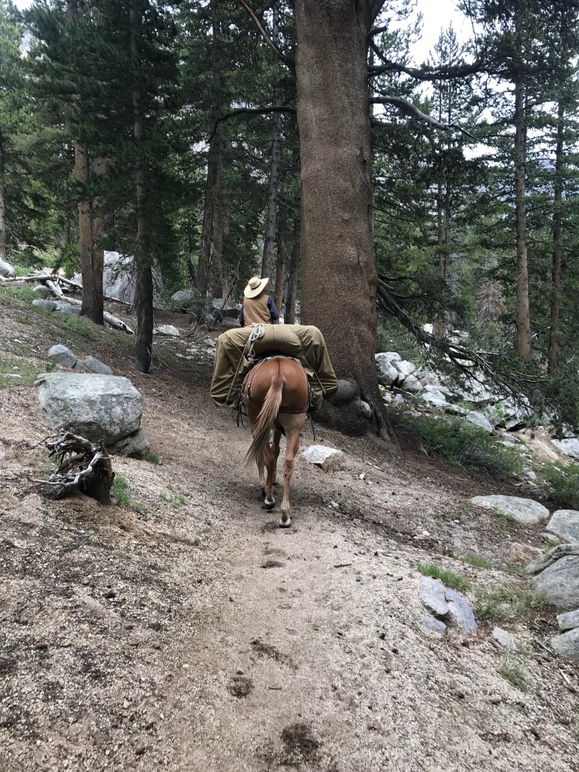
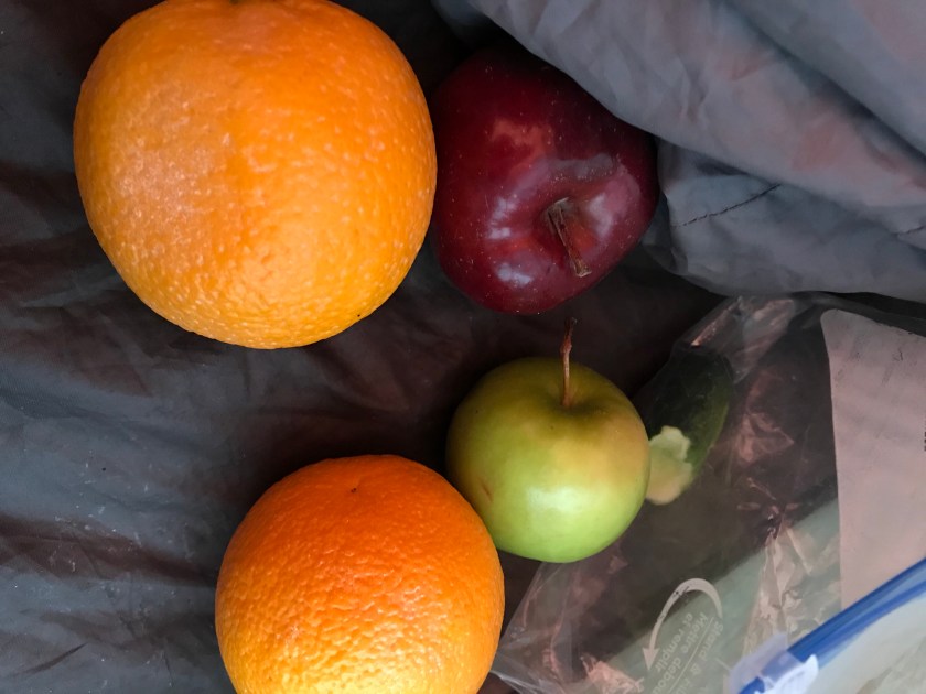
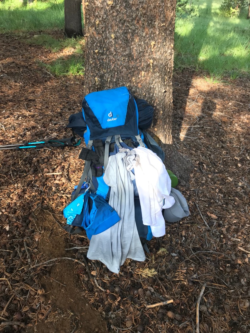
Still super paranoid about missing the pack mule, I jumped again of Mary Beth and Sam. I basically ran to where I believed the meeting spot was. I arrived before I knew it at 2pm. I was told “anytime in the late afternoon”, so I knew it could be a while. So I just sat and was left dwindling my thumbs, cause I had already chewed down my nails in a nervous frenzy. The dark clouds followed me, making me nervous that I’d be waiting in the rain. Soon I heard thunder… but I also heard the clomping of hooves. I looked up and saw a beautiful sight. I saw a cowboy with a fully loaded mule! A mule fully loaded with our resupply!! What a relief that it had all worked out! If anyone is embarking on the JMT and wants a reliable pack service, look into Cedar Grove Pack Station. They’re easy to communicate with, reliable, and even bring in fresh fruits and vegetables for you! When I told him (he looked EXACTLY like Mitchell from Modern Family) I wasn’t sure if he’d make the delivery in bad weather, he retorted, “no ma’am, we’re like the USPS. We delivery rain, snow, or shine. ”
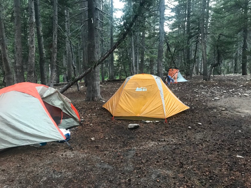
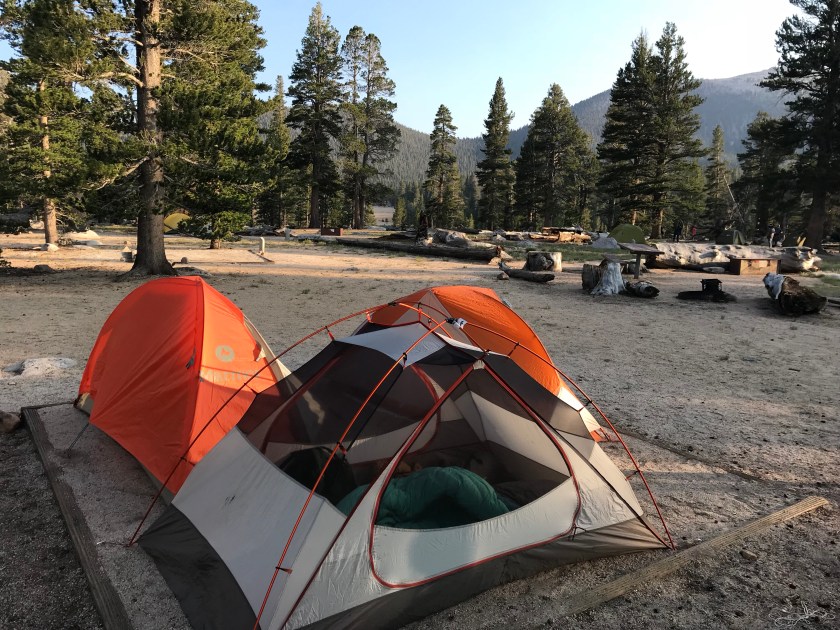
Because where we met didn’t have water or a bear box, we back tracked 1/4 mile to a campground that did. Along the way we ran into the girls and we all went back together. Just in time too. As he was emptying the panniers, it started to rain. We gathered up our goodies and quickly set up camp. Today’s storm wasn’t nearly as bad, I evaded any tent flooding.
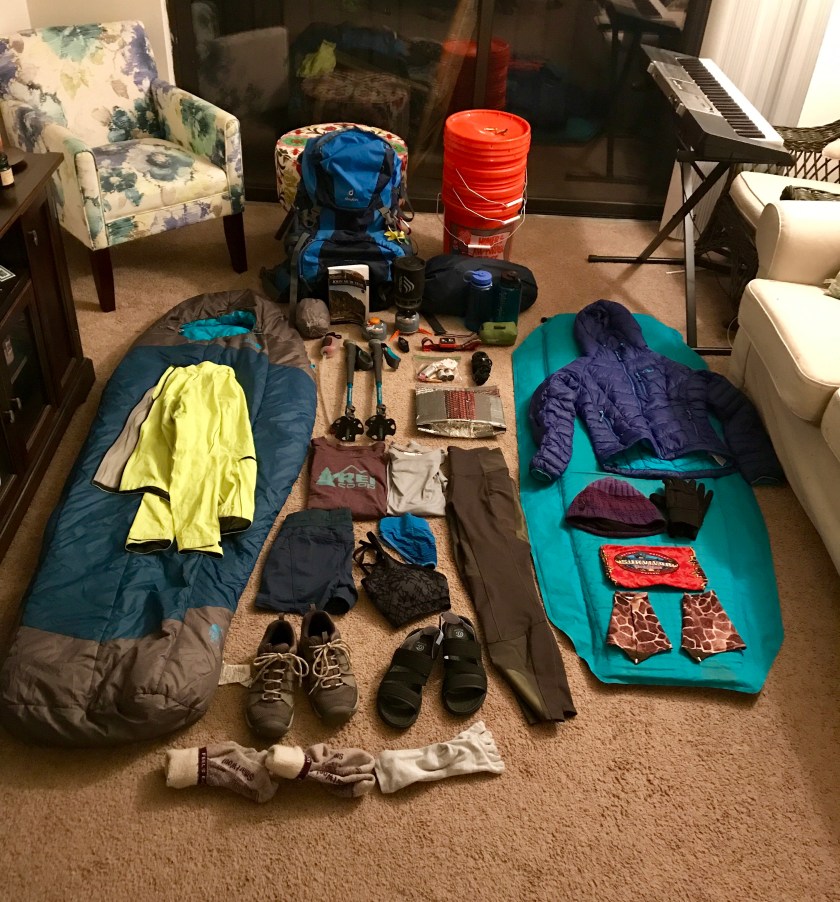
I have entirely too much food. I haven’t been eating nearly as much as I thought I would (I eat way more in my real life than I do in Trail life!). So I’m leaving a lot of food in the bear box, free to a good home! I’m sure a hungry hiker will find it useful.
Sam’s knee isn’t getting any better. We considered making tomorrow a zero day, but logistically that would make the next 6 days pretty tough mileage wise to make sure we’re good with food and resupply. We’re going to carry on and if her knee isn’t better in the morning, she’s going to exit via Kearsarge Pass. Really hope it doesn’t come to that.
Considering I did 13.3 miles and made it to 13.5K’ and felt fine, I think I have my trail legs and I’m finally acclimated! Now if just these storms would give it a rest!!


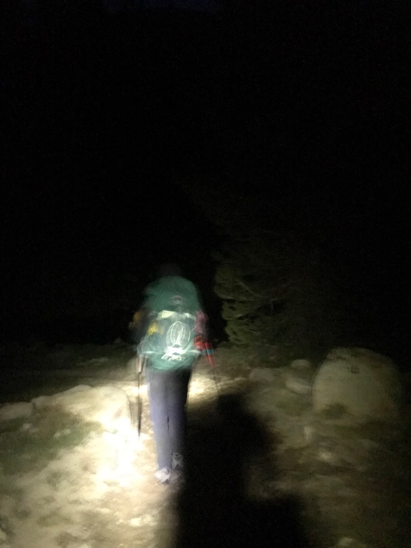
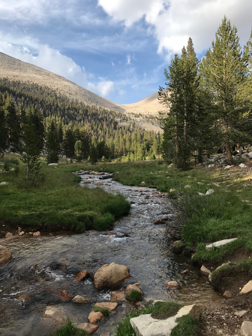
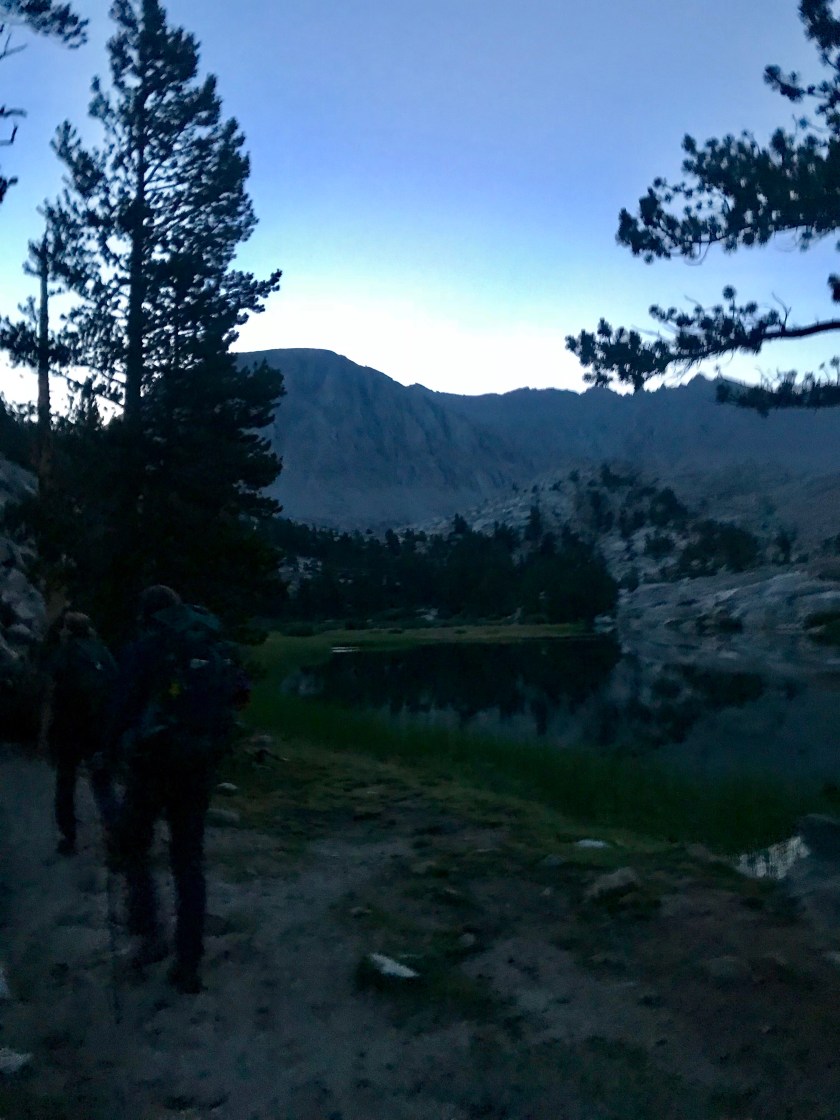 Being so early, the sun was far from rising. We had to use headlamps to guide ourselves through the dark for the first hour, which flew by. Soon we made it to the infamous Guitar Lake. I’ll give ya one guess as to why it’s named that. A lot of people just finishing their SOBO trip camp here for a shorter hike up Whitney and a more convenient exit point out of Whitney Portal.
  The lake was stunning and we got to see the sunrise over the background mountains – bathing them in a pink glow. Stunning.
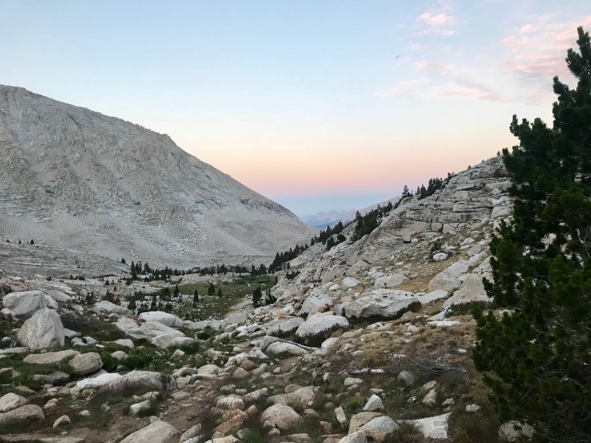 After Guitar Lake, we hit some pretty major switchbacks to the Whitney Trail Junction. I knew that if I made it up the roughly 1.5K’ climb, I would make it to Whitney! With my mantras on repeat and taking it slow and steady, I found myself feeling great! The only time I had any doubt was when a rock slide occurred on the mountain directly in front of us. It was an identical mountain to the one we were climbing. What if that happened to us?! But we were safe from that natural disaster, at least. As Guitar Lake got smaller and smaller, I realized that I had made it to the junction! I couldn’t believe I made it before I knew it.
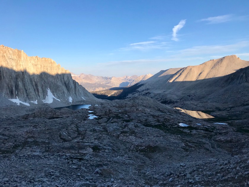
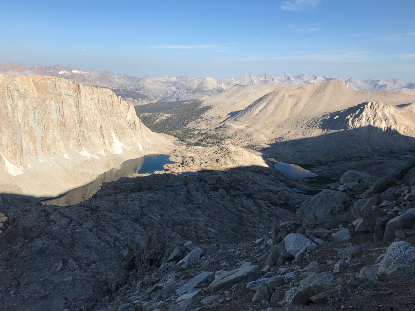 At the junction, a lot of people who are entering or exiting through Whitney Portal tend to leave their packs so they don’t have to lug them up to the summit. Opportunistic marmots have learned this and savagely tear through packs to get to food. The fat little things have no fear of humans or other vicious marmots. In fact, one of the SOBO hikers just finishing up said he heard a story where a hiker saw two marmots fighting over food. One of them tore out the other’s throat and started going cannibalistic on his fellow species. Rather graphic, I know, I found this story hard to believe. Likely just a hiker wives tale. From the junction, it was “only” 1.9 miles to the summit with a 1K’ elevation gain. Those last miles weren’t easy, but wow were they special. They were breathtaking. But as I learned, with beauty comes danger. There were plenty of sheer drop offs with boulder scrambling to boot. With one misstep you could land thousands of feet down. So I treaded carefully.
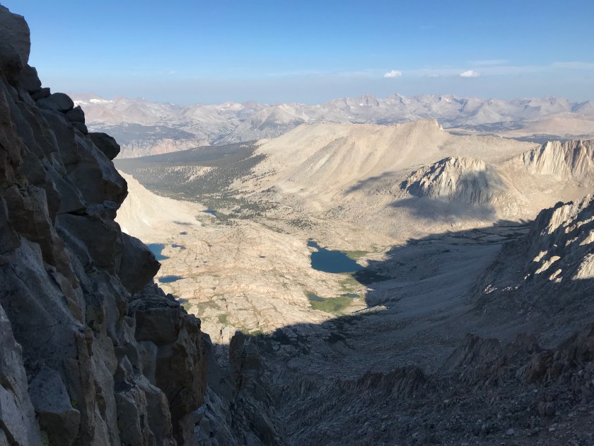

 I was becoming progressively short of breath, but was motivated by people passing me telling me, “you’re almost there!” Soon I rounded a corner and I could see it – the famed shelter at the top of Mt. Whitney!! I felt elated. The only the separating me from the summit was about 500′ of walking. Though it took a lot of effort, I did it. I got to the summit. And then the tears started flowing. I became emotional because I didn’t think I would ever make it. Had you asked me just 48 hours ago if I would be able to, I’d laugh and say heck no in between vomits.
 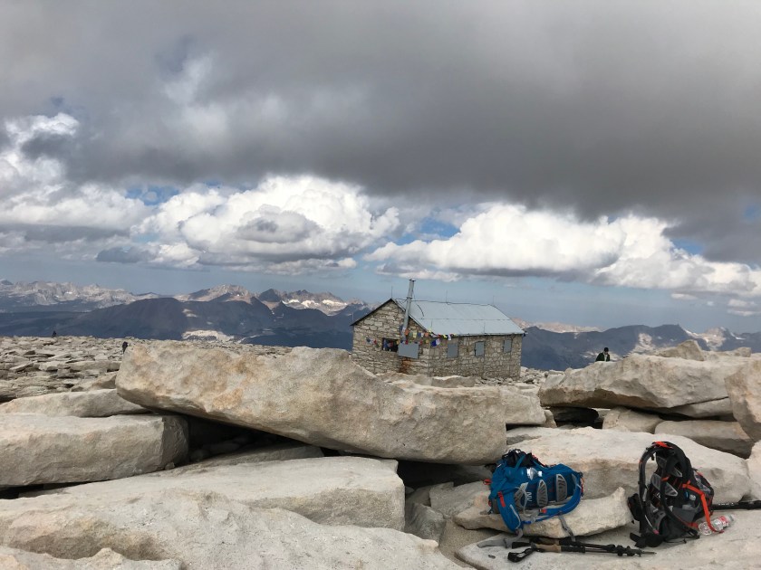 The girls were waiting for me at the top. I made a few tear filled calls (not sad tears – exhausted, joyfilled I MADE IT tears) and snapped a few pictures. Due to impending clouds, we didn’t stay up top long. But I did get to soak in a little of the beauty of being literally on top of the world, with Mt. Whitney being the tallest peak in the contiguous United States.


 We flew down the mountain (downhill is so much more forgiving) and considered jumping into Guitar Lake. But again, approaching clouds of doom stopped that idea.
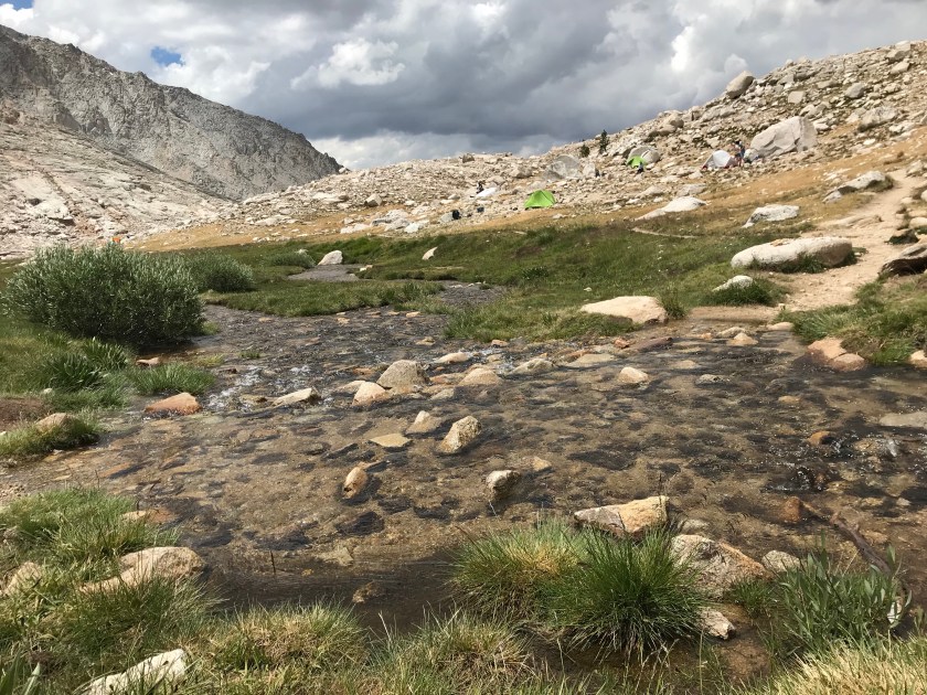
 Unfortunately, in our haste coming down from the mountain, Sam hurt her knee. I’m gonna try to use my career to see if I can help at all. Fingers crossed it helps! We got back into camp at 1:30pm. We joked that all our food in our canisters are going to be gone, stolen by the folks from yesterday. But all was intact. We were beat. Again, rain and thunder threatened with little precipitation. The ranger told us that for the next 48 hours we are in monsoon conditions. Great!
  We’re planning an early bedtime again. I know I’ll sleep well, I accomplished that which I didn’t think possible. I have someone upstairs looking out for me for sure.


 If you remember from my last post, I was prescribed anti altitude sickness meds. Why not use them if my altitude sickness was so horrible?! Well you see, I couldn’t keep anything down. Water, food, pills, you name it, it was coming back up. I hope to never feel that way ever again!! As we approached camp, I thought I heard thunder. Just what we needed! Mary Beth checked her handy dandy Garmin In Reach for the weather, which gave a prediction of 10% chance of rain. As we hiked, the skies turned darker and the thunder louder. We were in the 10% zone. The skies opened we marched 1 mile in search of shelter. We tried to wait it out, but it only got worse. We threw up our tents in a frazzled rush. My tent of course got flooded. I maguivered a way of unflooding it by bailing the water out with my coffee cup (never drinking instant coffee again – it’s all I could taste during the vom fest) and my sun shirt. It’s too white anyway. It needed to get a little dirty. And wouldn’t you know – as soon as it was perfectly dry (I was so proud) the sun came out! What a great first day.
 With the rain gone, we could cook dinner. Being back down at 9k’, my appetite came back full force after puking out its entire contents and not eating all day.
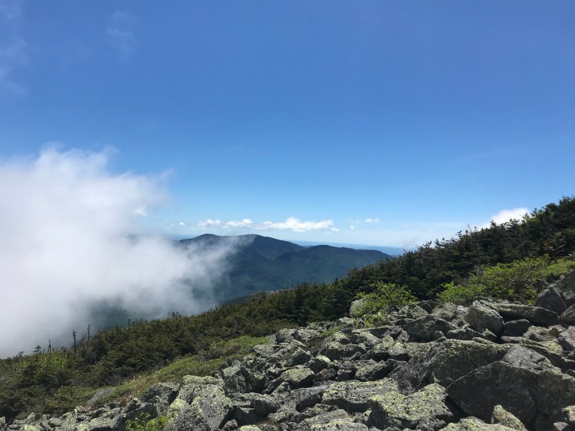
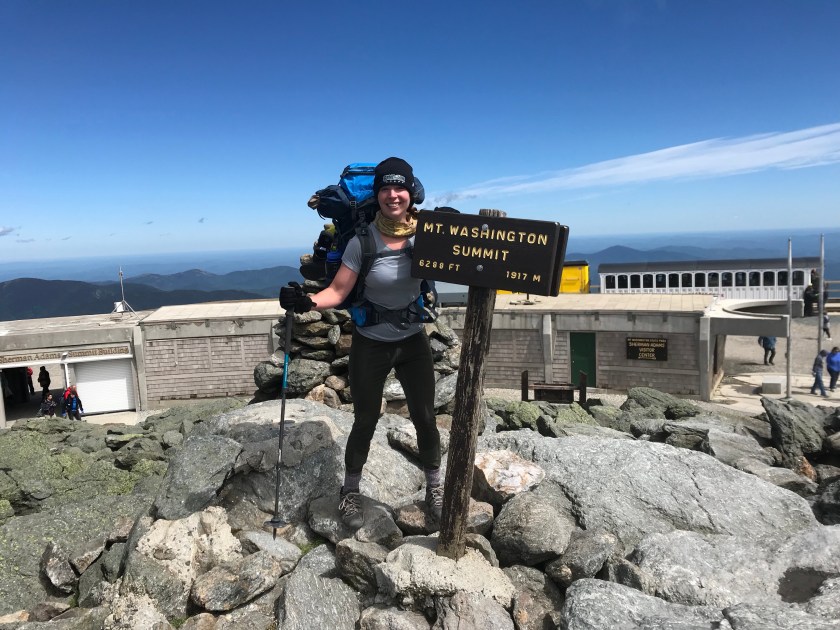
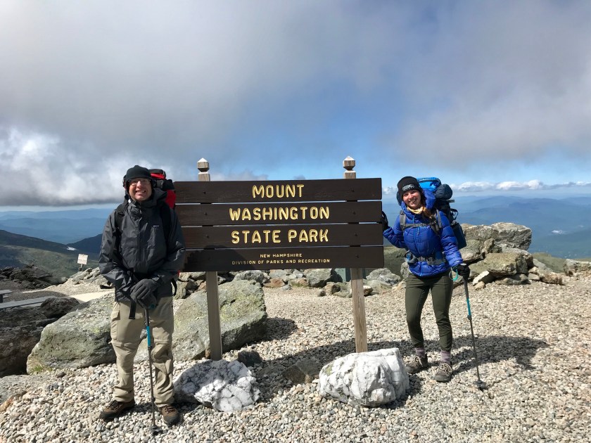
  Day one at 14 miles. I always knew this day would be difficult, I just could never imagine how difficult it would be. Give me Mt. Washington. Give me the hills of Washington State on bike. Give me the hot never ending hills of Kentucky on bike. But dear God – don’t ever give me today back again. Despite feeling horrible that whole time, I’m proud. I have never hiked 14 miles in one day (didn’t tell the girls – “oooo that’s why she sucks!”) let alone 14 miles in 10K’ of elevation. I made it when I was positive I wouldn’t. It’s a good day, and unlike the past 5 days I sure wasn’t bored! I’m definitely not acclimated yet, so I’m kind of terrified that today may be repeated soon enough. But tomorrow is half the distance and I can always turn around during Mt. Whitney!