Let me just start off by saying I’m pretty happy the John Muir Trail is in the Sierras and not the White Mountains. Not that New Hampshire isn’t beautiful and mesmerizing – because it most definitely is that and more, but whoa is it tough. Which I’m very grateful for because it made for a great shakedown for the JMT!
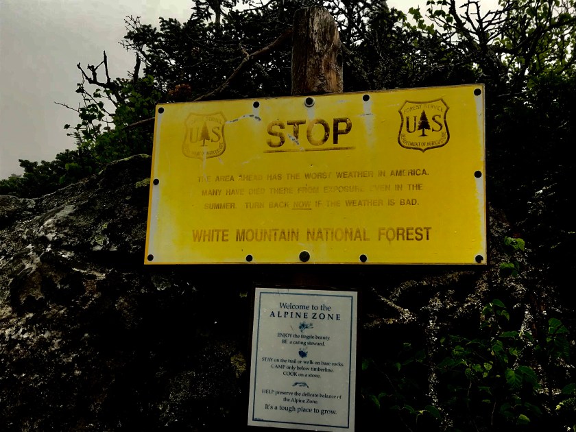
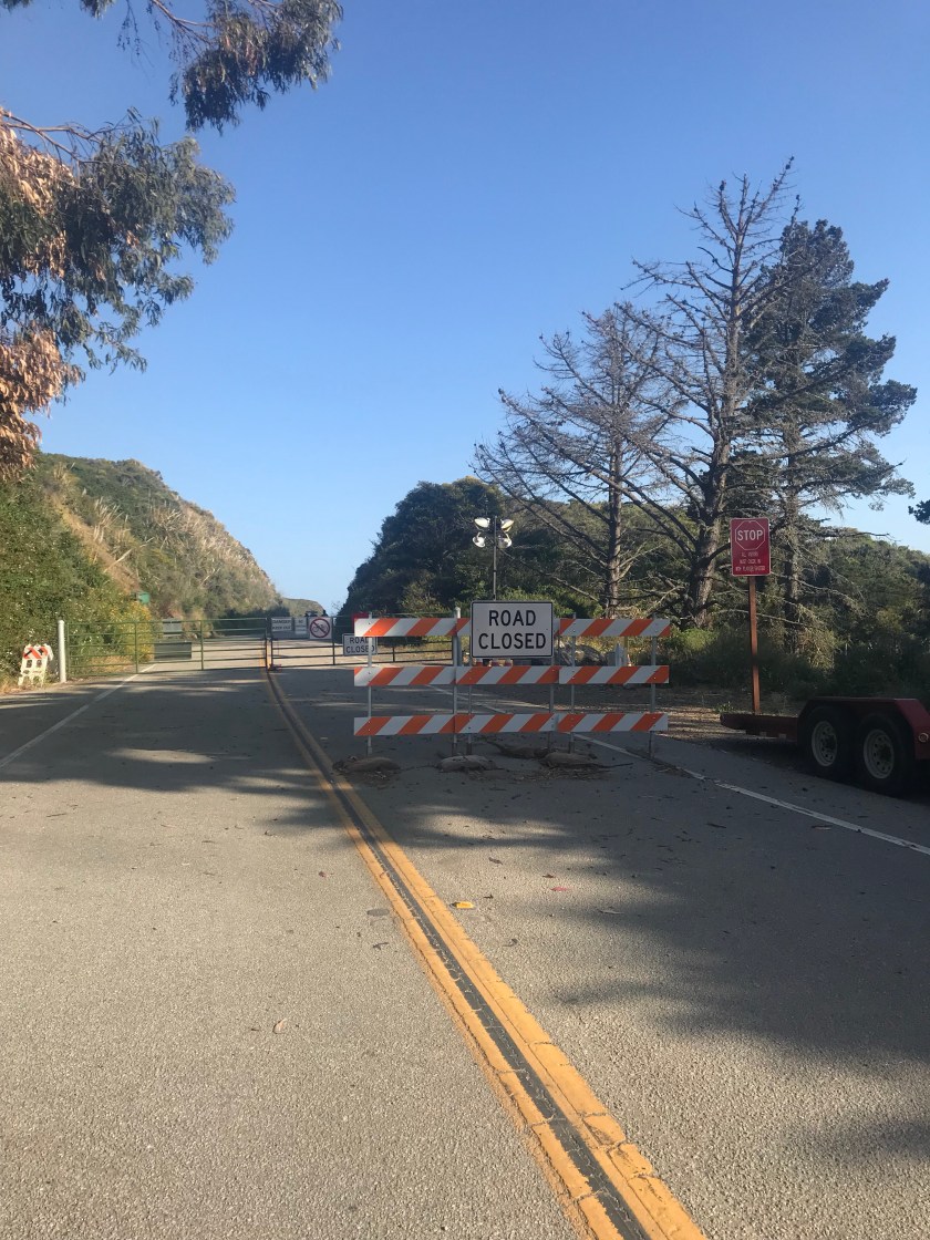
As the sign above clearly states, the White Mountains (particularly its most famous peak, Mt. Washington) is significantly dangerous and should be treated with respect and safety should be prioritized. Over 180 rescues occur yearly, mostly due to hypothermia (even in the summer!) and overexposure. I was aware of this going into this hike and made it all the more exciting to a semi- adrenaline junkie like myself.
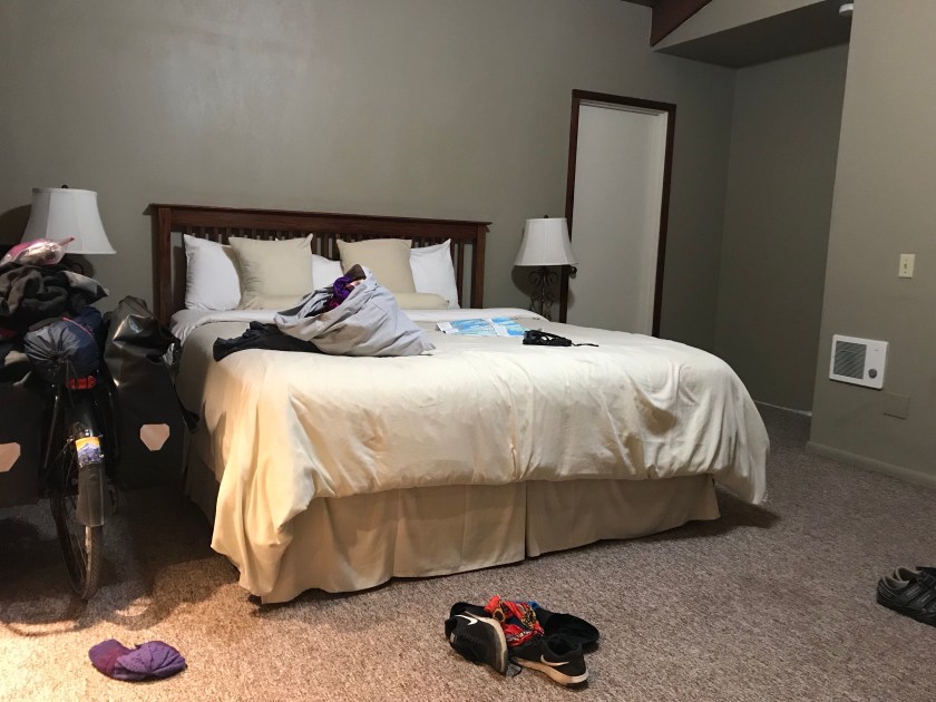
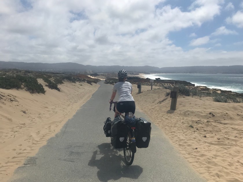
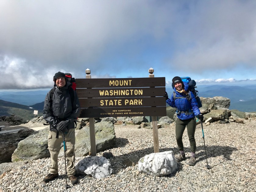
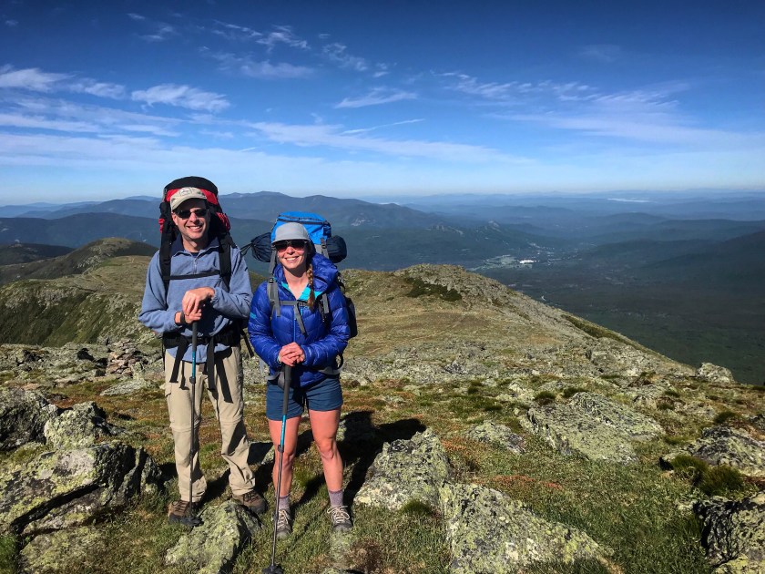
I am lucky enough to have a wonderful father who was willing to plan the whole outing and even hike it with me! So fresh off the bike tour, I quickly packed my backpack and we were on the road for the 8 hour journey to NH.
We originally were going to have a first day starting at Pinkham Notch and hike 7 miles to Valley Way tentsite. However, after weather reports indicated that there were going to be afternoon thunderstorms we reconsidered. Because that trail is exposed and above tree line for the last portion of the hike, we decided we didn’t want to worry about getting struck by lightning just yet. We got dropped off at the Valley Way trailhead via shuttle late morning for a 3.8 mile hike up to the tentsite.

The hike was mostly in trees, sheltered from the late morning/early afternoon sun. Yes, sun! Barely a cloud in the sky, making us pretty hopeful we might outrun the storm and be able to climb Mt. Madison before the heavens opened. The trek to the tentsite was pretty challenging. Nearly 3000′ in 3.4 miles means a pretty significant and relentless climb steeply up rocks and boulders. Thank goodness I caved in and bought trekking poles – a piece of equipment I used to believe was unnecessary and if I’m being honest, I saw as quite pretentious. But now I see people using them no longer as snobby, but smart! They are a huge help when hoisting yourself up rocks and assist tremendously with maintaining balance, especially when you have a 40lb pack trying to knock you down with every step.
But alas, we carried on (literally) and eventually made it to the site with empty bellies and a quickly clouding over sky. We ate lunch and set up the tents. As we were debating whether or not to attempt Madison, the clouds made the decision for us. Rain started and we sought shelter in the tents. The rain was on and off (mostly on) for hours on end. At times it was aggressive and I thought a river might form and sweep us down the mountain. We awoke the next morning with wet tents and soggy gear.
Nothing is worse than breaking down a saturated campsite, but ya gotta do what ya gotta do! All the wet gear likely added a couple of pounds to our already heavy packs, but we threw it on our backs anyway and headed up for Madison.
The fog we encountered affected visibility quite a lot, but still below the tree line, we had no idea what was awaiting us. As we ascended above the tree line we encountered some pretty significant gusts of wind. I didn’t think much of it – I’d rather hike in it than bike in it was as much thought as I gave it. I never questioned the safety of it until, that is, we got to Madison Hut to refill on water. All the guests were in a full out panic trying to reschedule their whole hike based on weather reports and the wind they deemed was too strong and unsafe to hike in. I then began to question everything. The staff in the hut were recommending people seek alternative routes to Mt Washington, including going down Valley Way and hopping the shuttle on over to the peak. No way! I was already content with skipping Mt. Madison, but there was no way I was going to skip the star of the show! Dad and I decided all the hut folks were being sissies and we were determined to get to Mt. Washington. Is it any surprise to see where I get my stubbornness from??
We almost immediately reconsidered this decision as we exited the hut and were hit smack in the face with wind that seemed to have increased exponentially. But we persisted, despite warnings from hikers who turned back claiming it was too windy for them to continue. Psh. It’s just wind folks. For 5 miles we battled the said winds that at times full out pushed me over causing me to crash into a boulder. There was one patch where the only way I could cross was by literally crawling. I couldn’t even stand up the wind was so aggressive! With a 40 lb pack, crawling was not the easiest, but it was the only way.

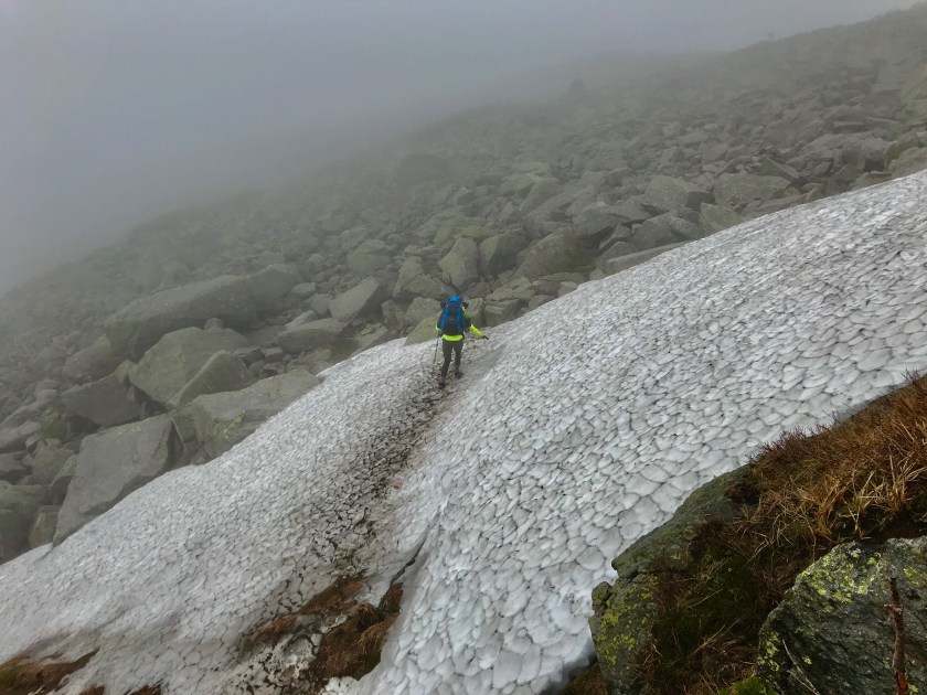
Despite the treachery we encountered, I loved every second of it. There was only one moment during the crawling bit that I got truly frustrated by it, but I wouldn’t have it any other way. Even though there wasn’t any sort of view due to the thick blanket of fog, I loved the eerieness and spookiness vibe it added to the hike. The treachery continued with full out rock scrambling (not the easiest thing in the world with a pack!) and a snow crossing!
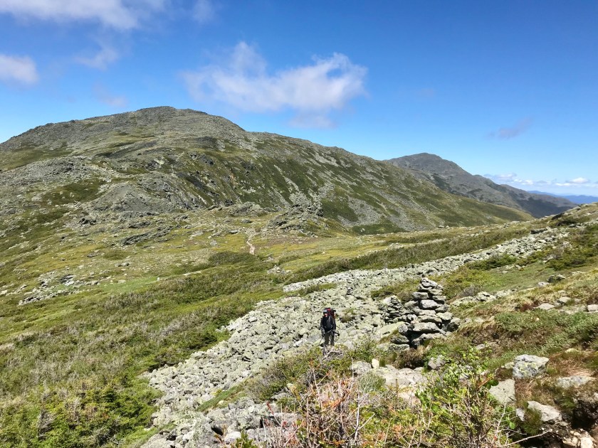
We took lunch in a random spot, unable to make heads or tails of where we were because of the fog. As we ate, we saw patches of blue sky float above us for brief seconds. Eventually the time increased and we realized we were eating right in front of Mt. Washington! It was spectacular to finally see views of the mountains that we were missing out for miles and hours before. It made me even more excited to get to the top!
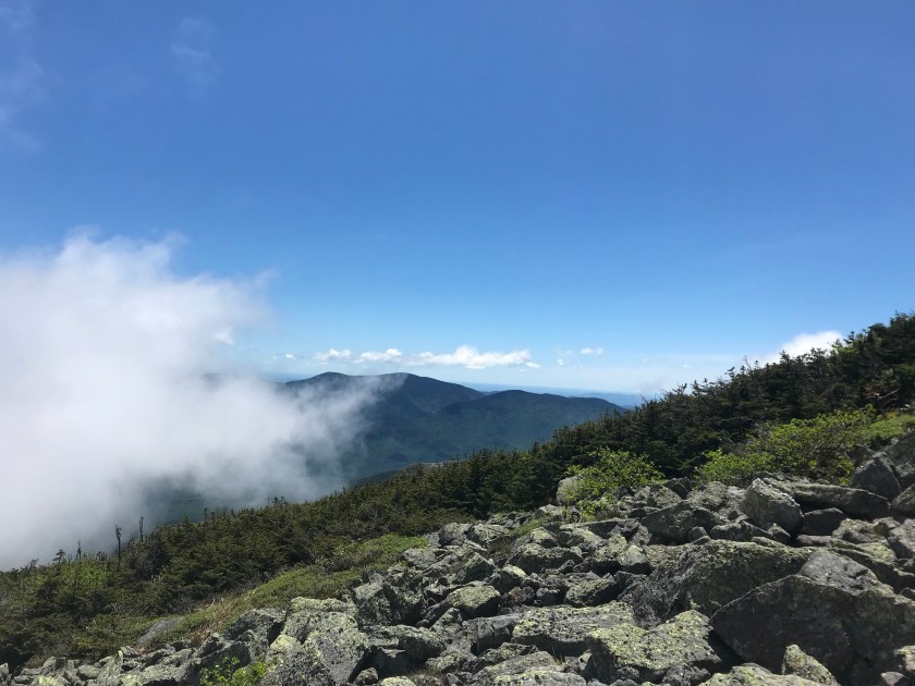
With a clear sky, we were only a few miles from the summit. It was an absolutely stunning hike. The wind was still blowing us around, but with views like that I didn’t mind too much. We even saw the famed Cog Railway!
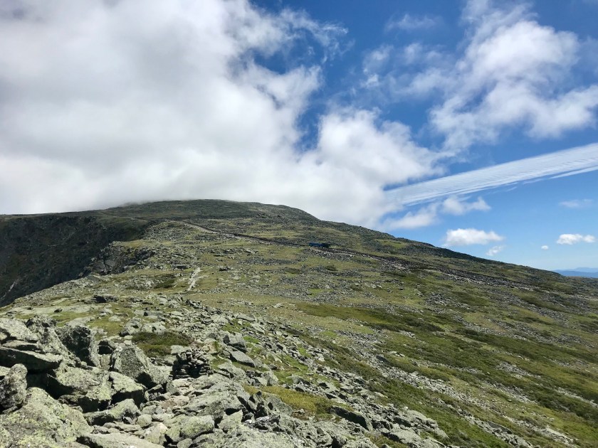

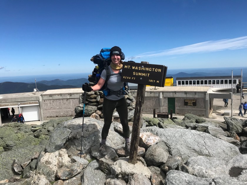
After a pretty grueling 0.2 miles, we made it to the top!! The wind was pretty angry up there and it dropped a lot in temperature. After snapping a few pictures, we sought refuge in the lodge for a break. We layered up, snapped a few more pictures (so cold I forgot to take scenic shots), and we went on our way to Lake of Clouds Hut!

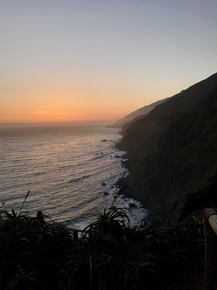
We arrived right before dinner and attempted to sleep in a room full of snoring strangers. The hut itself was interesting to say the least. I’m just thankful I brought earplugs! We did get to witness a sunset so beautiful it rivaled those of the west coast.

The morning weather report was beautiful – warm temps with low winds! Perfect compared to the day before where Mt Washington had recorded wind gusts of 94mph!!

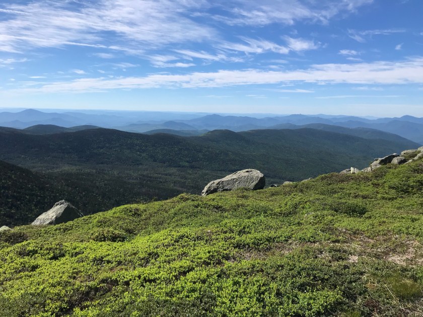
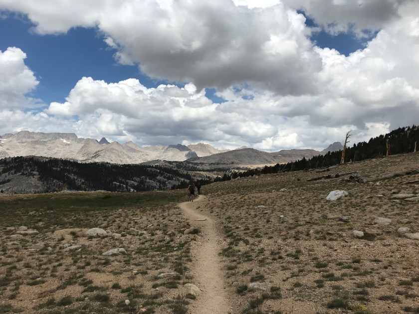
The hike back to the car was gorgeous and awe inspiring. We could see the trail for miles ahead of use before entering back below the tree line.


The hike was a lot more difficult than either of us were anticipating due to the rocks and boulders we had to scramble across. Plus, it was mostly downhill. Like biking, I’d almost always rather go up than down. Taking time to carefully go downhill affected our ETA back home, but it was worth it! We stumbled back to the car early afternoon with weak and tired legs.

Despite the adversity we encountered between the rain, wind, rocks, fog, and huge elevation gains, I had a blast. I wouldn’t change a thing about the hike to make it easier. I loved the challenge and I got to test out all my gear before the JMT! Despite a leaky tent, I’m gonna count that it doesn’t rain out in the Sierras and I’m gonna keep the old girl in commission.
So, JMT, hit me with your best shot! I’m coming for ya 😉


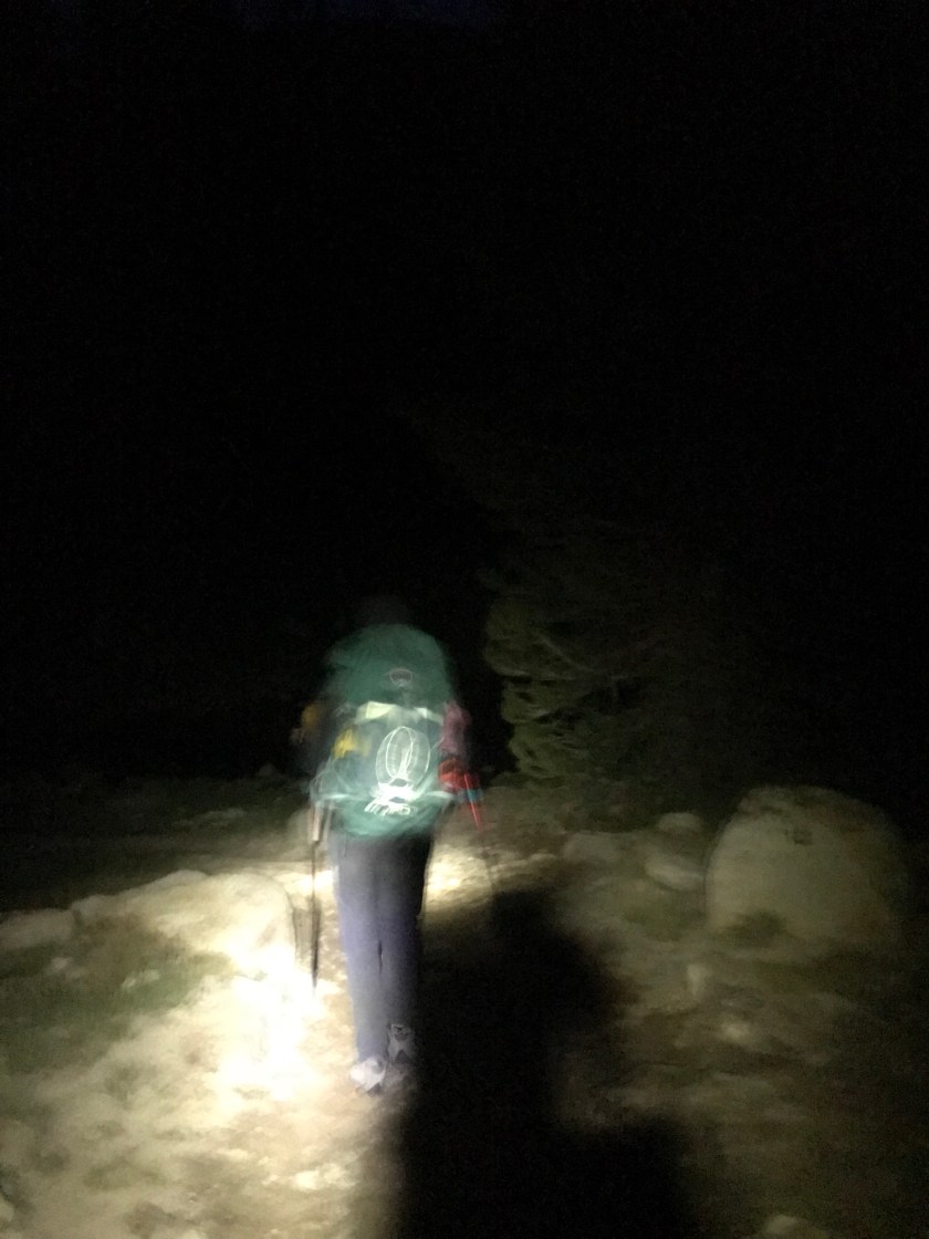
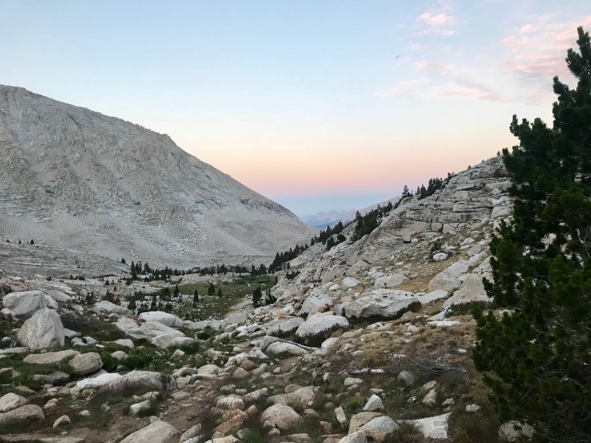
 Being so early, the sun was far from rising. We had to use headlamps to guide ourselves through the dark for the first hour, which flew by. Soon we made it to the infamous Guitar Lake. I’ll give ya one guess as to why it’s named that. A lot of people just finishing their SOBO trip camp here for a shorter hike up Whitney and a more convenient exit point out of Whitney Portal.
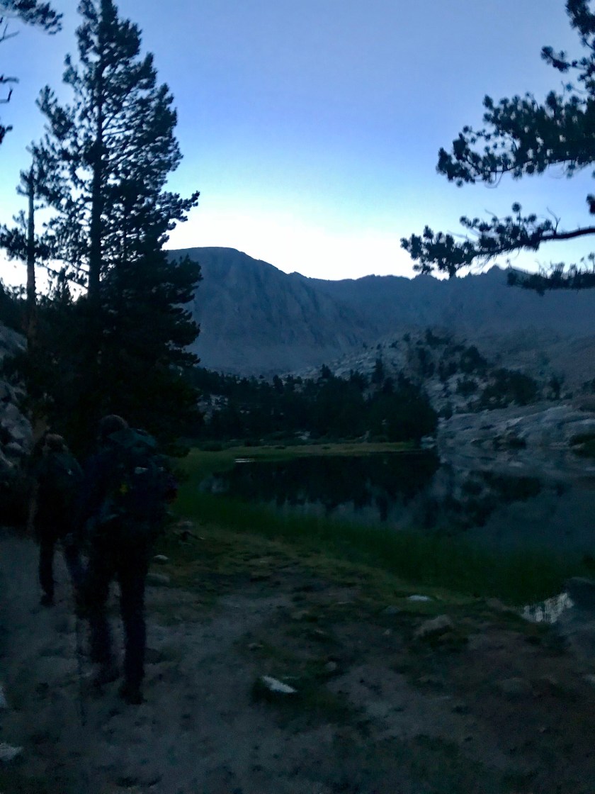
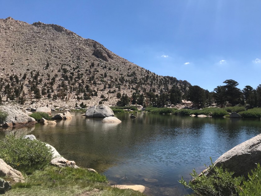
  The lake was stunning and we got to see the sunrise over the background mountains – bathing them in a pink glow. Stunning.
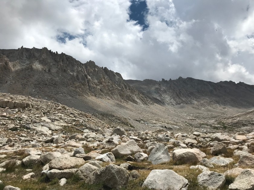
 After Guitar Lake, we hit some pretty major switchbacks to the Whitney Trail Junction. I knew that if I made it up the roughly 1.5K’ climb, I would make it to Whitney! With my mantras on repeat and taking it slow and steady, I found myself feeling great! The only time I had any doubt was when a rock slide occurred on the mountain directly in front of us. It was an identical mountain to the one we were climbing. What if that happened to us?! But we were safe from that natural disaster, at least. As Guitar Lake got smaller and smaller, I realized that I had made it to the junction! I couldn’t believe I made it before I knew it.
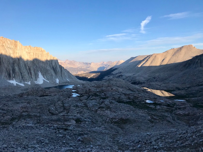
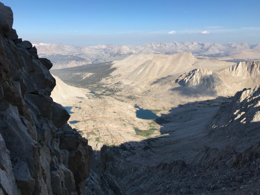
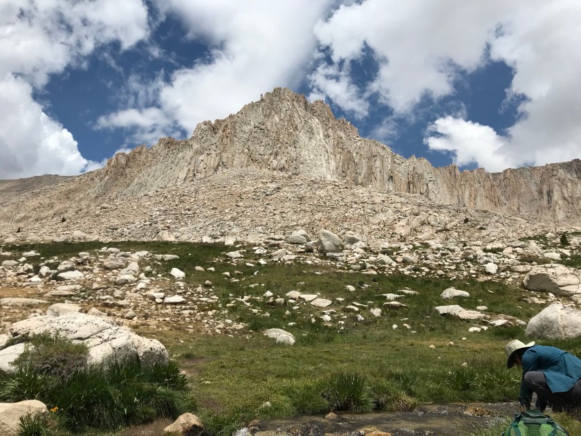
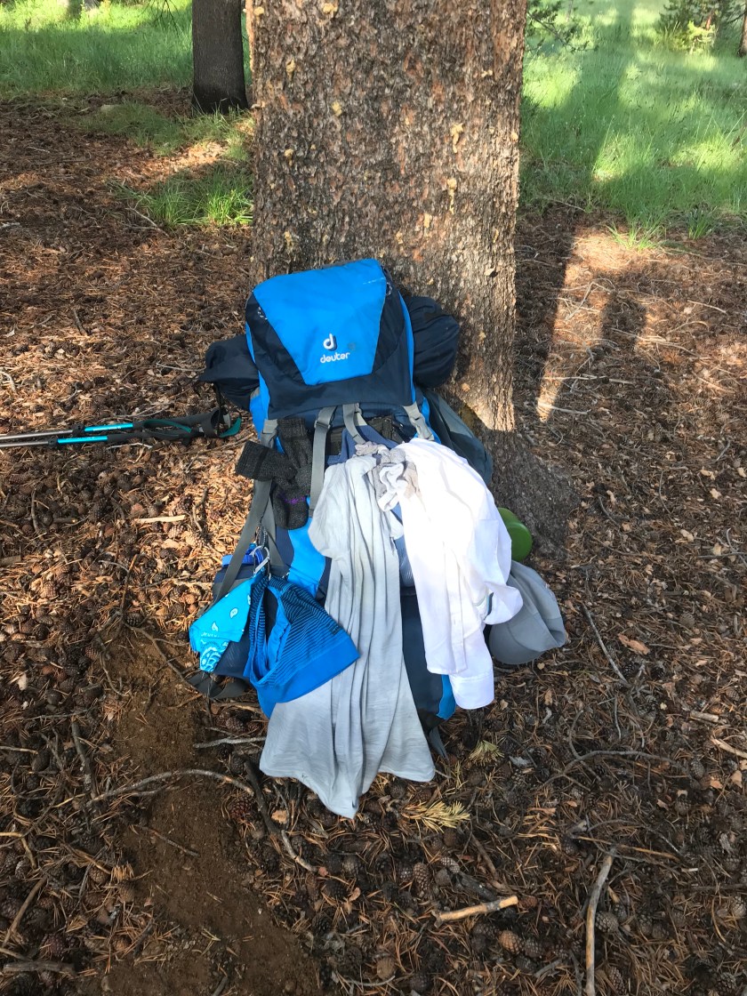
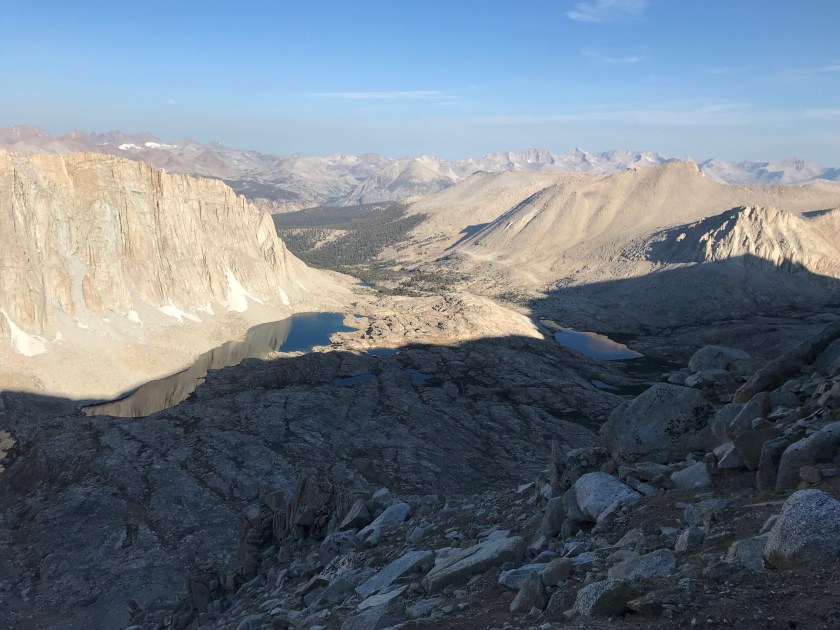 At the junction, a lot of people who are entering or exiting through Whitney Portal tend to leave their packs so they don’t have to lug them up to the summit. Opportunistic marmots have learned this and savagely tear through packs to get to food. The fat little things have no fear of humans or other vicious marmots. In fact, one of the SOBO hikers just finishing up said he heard a story where a hiker saw two marmots fighting over food. One of them tore out the other’s throat and started going cannibalistic on his fellow species. Rather graphic, I know, I found this story hard to believe. Likely just a hiker wives tale. From the junction, it was “only” 1.9 miles to the summit with a 1K’ elevation gain. Those last miles weren’t easy, but wow were they special. They were breathtaking. But as I learned, with beauty comes danger. There were plenty of sheer drop offs with boulder scrambling to boot. With one misstep you could land thousands of feet down. So I treaded carefully.

 I was becoming progressively short of breath, but was motivated by people passing me telling me, “you’re almost there!” Soon I rounded a corner and I could see it – the famed shelter at the top of Mt. Whitney!! I felt elated. The only the separating me from the summit was about 500′ of walking. Though it took a lot of effort, I did it. I got to the summit. And then the tears started flowing. I became emotional because I didn’t think I would ever make it. Had you asked me just 48 hours ago if I would be able to, I’d laugh and say heck no in between vomits.
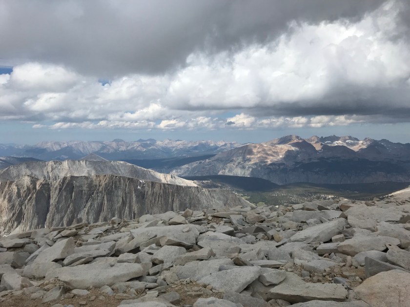
 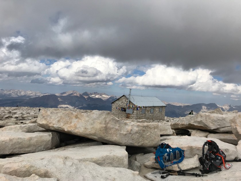 The girls were waiting for me at the top. I made a few tear filled calls (not sad tears – exhausted, joyfilled I MADE IT tears) and snapped a few pictures. Due to impending clouds, we didn’t stay up top long. But I did get to soak in a little of the beauty of being literally on top of the world, with Mt. Whitney being the tallest peak in the contiguous United States.


 We flew down the mountain (downhill is so much more forgiving) and considered jumping into Guitar Lake. But again, approaching clouds of doom stopped that idea.
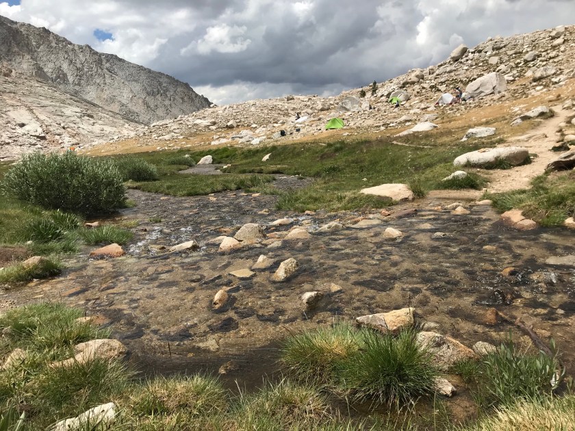
 Unfortunately, in our haste coming down from the mountain, Sam hurt her knee. I’m gonna try to use my career to see if I can help at all. Fingers crossed it helps! We got back into camp at 1:30pm. We joked that all our food in our canisters are going to be gone, stolen by the folks from yesterday. But all was intact. We were beat. Again, rain and thunder threatened with little precipitation. The ranger told us that for the next 48 hours we are in monsoon conditions. Great!
  We’re planning an early bedtime again. I know I’ll sleep well, I accomplished that which I didn’t think possible. I have someone upstairs looking out for me for sure.

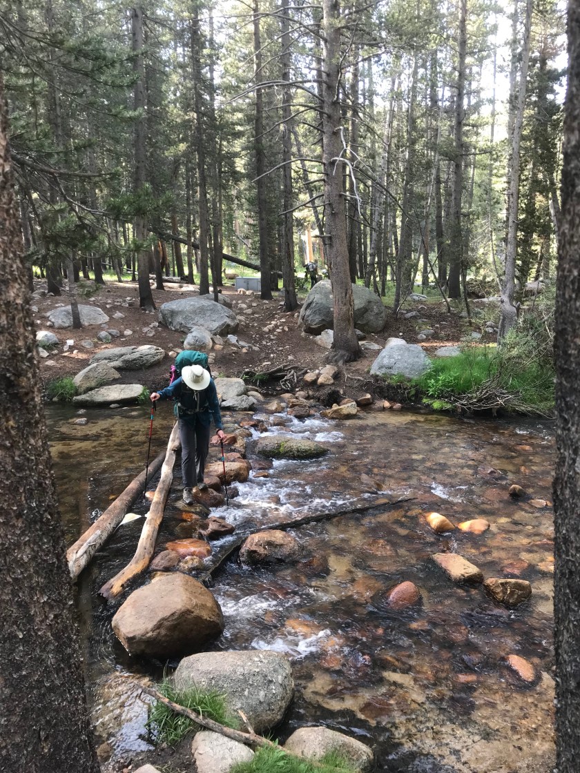


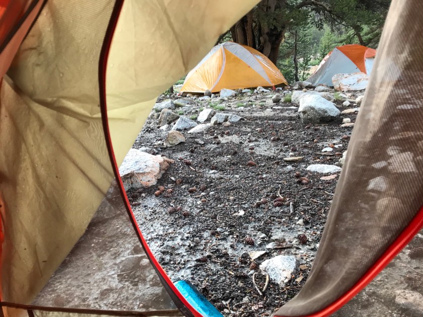
 If you remember from my last post, I was prescribed anti altitude sickness meds. Why not use them if my altitude sickness was so horrible?! Well you see, I couldn’t keep anything down. Water, food, pills, you name it, it was coming back up. I hope to never feel that way ever again!! As we approached camp, I thought I heard thunder. Just what we needed! Mary Beth checked her handy dandy Garmin In Reach for the weather, which gave a prediction of 10% chance of rain. As we hiked, the skies turned darker and the thunder louder. We were in the 10% zone. The skies opened we marched 1 mile in search of shelter. We tried to wait it out, but it only got worse. We threw up our tents in a frazzled rush. My tent of course got flooded. I maguivered a way of unflooding it by bailing the water out with my coffee cup (never drinking instant coffee again – it’s all I could taste during the vom fest) and my sun shirt. It’s too white anyway. It needed to get a little dirty. And wouldn’t you know – as soon as it was perfectly dry (I was so proud) the sun came out! What a great first day.
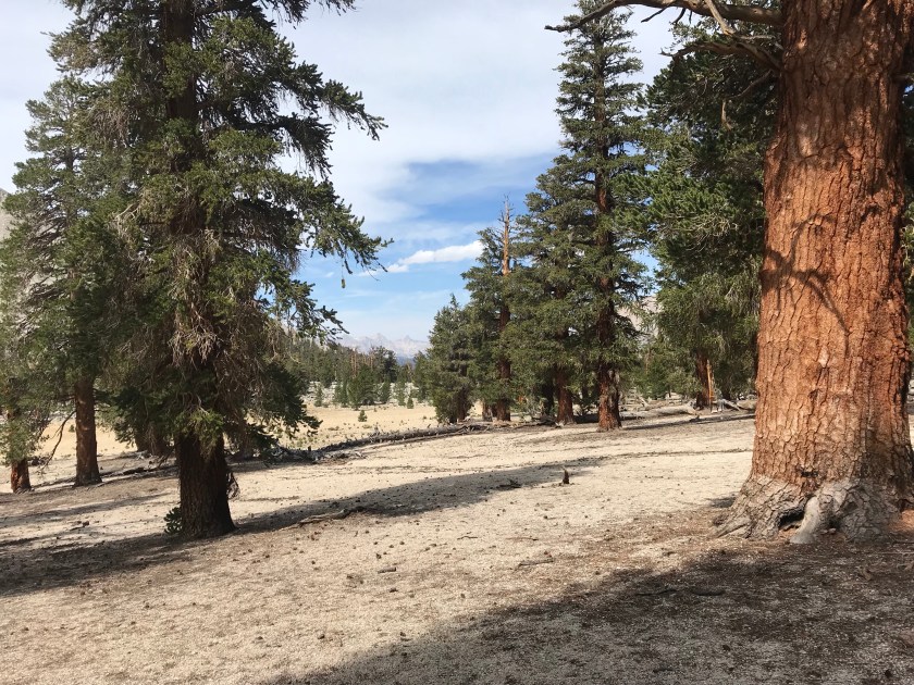
 With the rain gone, we could cook dinner. Being back down at 9k’, my appetite came back full force after puking out its entire contents and not eating all day.
  Day one at 14 miles. I always knew this day would be difficult, I just could never imagine how difficult it would be. Give me Mt. Washington. Give me the hills of Washington State on bike. Give me the hot never ending hills of Kentucky on bike. But dear God – don’t ever give me today back again. Despite feeling horrible that whole time, I’m proud. I have never hiked 14 miles in one day (didn’t tell the girls – “oooo that’s why she sucks!”) let alone 14 miles in 10K’ of elevation. I made it when I was positive I wouldn’t. It’s a good day, and unlike the past 5 days I sure wasn’t bored! I’m definitely not acclimated yet, so I’m kind of terrified that today may be repeated soon enough. But tomorrow is half the distance and I can always turn around during Mt. Whitney!